 Actions
18 km

+574 m/-609 m

04:45

Cliquez pour activer


Cliquez et déplacez la souris sur le profil pour analyser un tronçon (2 doigts sur mobile)
Détails
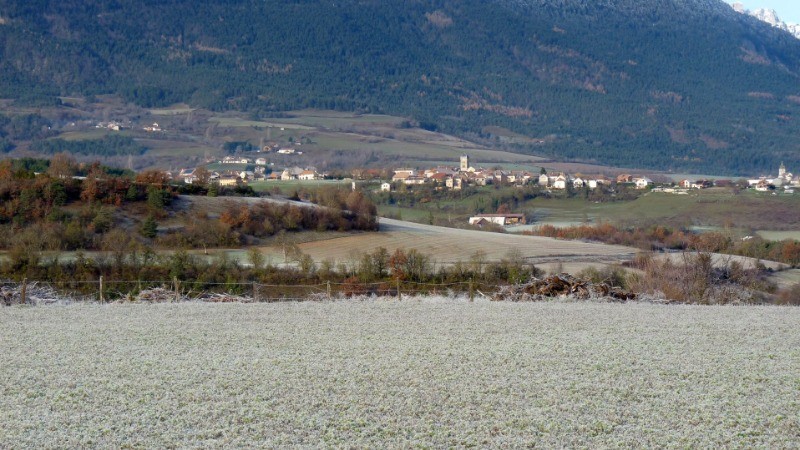
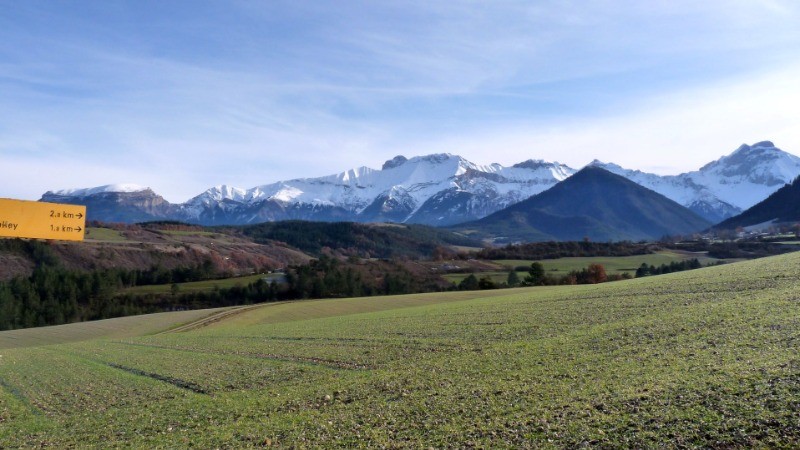
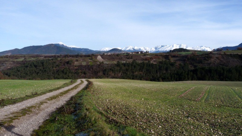
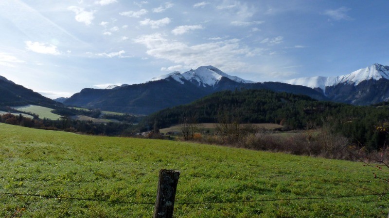
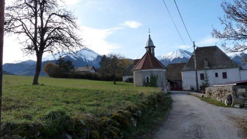
Ciel bleu et beau temps froid en ce début décembre pour le départ de cette boucle autour de Prébois, les champs et les arbres sont blanchis par le givre, randonnée classique mais toujours aussi agréable de part ses paysages ouverts et variés
 Photos
Commentaires
Pas encore de commentaire, connectez-vous pour en ajouter un.
Connectez-vous pour ajouter un commentaire
Longueur et nombre de points

17.92 km

1431 pts
Denivelé et altitude
Calculés sans seuil et un lissage sur 5 points

573 m

609 m

988 m

672 m

805 m
Date et durée

05 décembre 2019
09:37

05 décembre 2019
15:45

06:07:42

04:40:16

01:27:26
Vitesses et denivelés horaires

3.8 km/h
Détail »

6 km/h
au km 0.5

306 m/h
1h36m37s

-279 m/h
1h51m35s
| km | Temps | Vitesse | Pause |
|---|
| 1 | 13'32" | 4.4 km/h | |
| 2 | 16'46" | 3.6 km/h | |
| 3 | 15'33" | 3.9 km/h | 03'01" |
| 4 | 14'04" | 4.3 km/h | 05'06" |
| 5 | 15'29" | 3.9 km/h | |
| 6 | 14'00" | 4.3 km/h | |
| 7 | 14'54" | 4 km/h | 02'03" |
| 8 | 16'24" | 3.7 km/h | 02'09" |
| 9 | 15'52" | 3.8 km/h | 55'01" |
| 10 | 17'50" | 3.4 km/h | |
| 11 | 15'22" | 3.9 km/h | |
| 12 | 20'16" | 3 km/h | 02'00" |
| 13 | 21'39" | 2.8 km/h | 07'18" |
| 14 | 18'42" | 3.2 km/h | |
| 15 | 14'13" | 4.2 km/h | 04'42" |
| 16 | 11'53" | 5.1 km/h | |
| 17 | 12'00" | 5 km/h | 06'06" |
Dépense calorique (estimation)

518 Cal
111 Cal/h
Plus

Affichée 380 fois et téléchargée 5 fois depuis le 07.04.20 15:25
Carte + Profil [Afficher un aperçu]
<iframe src="https://www.visugpx.com/pXCuwvRO4P?iframe" allowfullscreen style="border: 0;width: 100%; height: 540px;" scrolling="no"></iframe>
Carte uniquement [Afficher un aperçu]
<iframe src="https://www.visugpx.com/pXCuwvRO4P?iframe&maponly" allowfullscreen style="border: 0;width: 100%; height: 540px;" scrolling="no"></iframe>
Nous avons pris en compte votre choix.
Vous souhaitez maîtriser les informations qui peuvent être recueillies lors de votre navigation et avez refusé les cookies de personnalisation des annonces, c'est légitime.
Parce que le service fourni par VisuGPX a un coût, accepteriez-vous quand même que nous utilisions des cookies pour vous présenter des annonces non personnalisées ? Ces cookies ne sont pas des cookies de tracking mais de simples des cookies techniques de diffusion qui garantissent le respect votre vie privée.


 Cliquez et déplacez la souris sur le profil pour analyser un tronçon (2 doigts sur mobile)

 68
68 127
127 63 [Légende]

 Pour soutenir VisuGPX, faites le bon choix