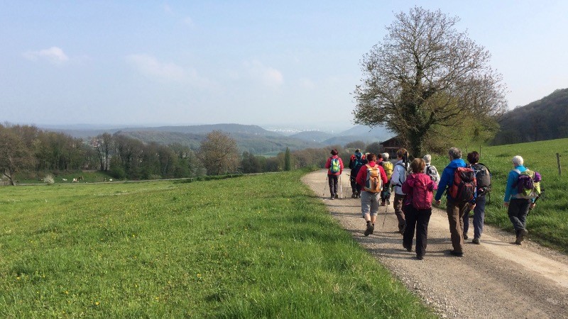
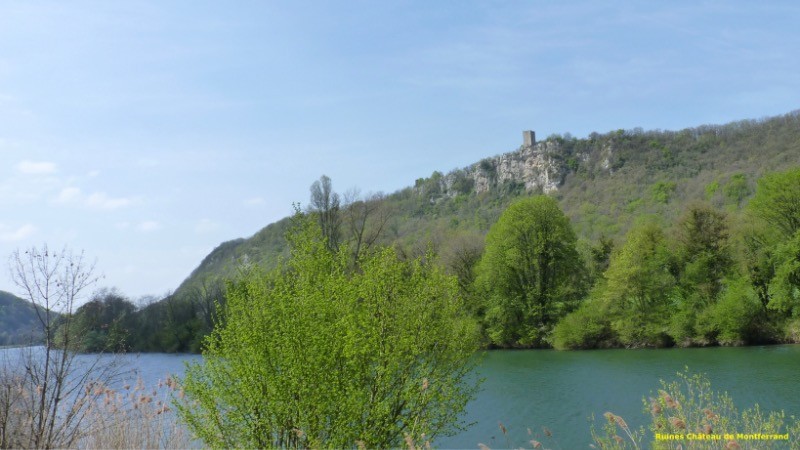
Randonnée effectuée le 6 avril 2017
L'indice IBP d'effort est de 61, (suivant l'échelle de la FFRP) un score compris entre 51 et 75 correspond au niveau 3 qualifié de "PEU DIFFICILE". La randonnée pédestre nécessite un certain engagement physique qui reste toutefois mesuré. Ce niveau correspond à des randonnées pédestres modérées.
 Actions
17.3 km

+518 m
/-513 m
04:17

Cliquez pour activer


Cliquez et déplacez la souris sur le profil pour analyser un tronçon (2 doigts sur mobile)
 Photos
Commentaires
Pas encore de commentaire, connectez-vous pour en ajouter un.
Connectez-vous pour ajouter un commentaire
Longueur et nombre de points

17.27 km

1571 pts
Denivelé et altitude
Calculés avec un seuil de 10 mètres et un lissage sur 5 points

518 m

514 m

452 m

194 m

298 m
Date et durée

06 avril 2017
08:58

06 avril 2017
15:10

06:12:27

04:17:23

01:55:04
Vitesses et denivelés horaires

4 km/h
Détail »

5.5 km/h
au km 11.3

291 m/h
1h34m25s

-335 m/h
1h20m33s
| km | Temps | Vitesse | Pause |
|---|
| 1 | 12'27" | 4.8 km/h | 07'44" |
| 2 | 16'41" | 3.6 km/h | 03'48" |
| 3 | 12'40" | 4.7 km/h | 06'02" |
| 4 | 15'54" | 3.8 km/h | |
| 5 | 12'53" | 4.7 km/h | |
| 6 | 15'24" | 3.9 km/h | |
| 7 | 15'34" | 3.9 km/h | 03'23" |
| 8 | 17'24" | 3.4 km/h | 02'23" |
| 9 | 14'33" | 4.1 km/h | 75'59" |
| 10 | 16'05" | 3.7 km/h | |
| 11 | 15'54" | 3.8 km/h | 06'04" |
| 12 | 15'38" | 3.8 km/h | |
| 13 | 14'52" | 4 km/h | 05'17" |
| 14 | 16'04" | 3.7 km/h | |
| 15 | 14'54" | 4 km/h | 01'46" |
| 16 | 12'50" | 4.7 km/h | |
| 17 | 14'17" | 4.2 km/h | |
Dépense calorique (estimation)

584 Cal
136 Cal/h
Plus

Affichée 1584 fois et téléchargée 104 fois depuis le 07.04.20 15:25
KME
24.2 kilomètres effort
Carte + Profil [Afficher un aperçu]
<iframe src="https://www.visugpx.com/owUJ84KiuY?iframe" allowfullscreen style="border: 0;width: 100%; height: 540px;" loading="lazy" scrolling="no"></iframe>
Carte uniquement [Afficher un aperçu]
<iframe src="https://www.visugpx.com/owUJ84KiuY?iframe&maponly" allowfullscreen style="border: 0;width: 100%; height: 540px;" loading="lazy" scrolling="no"></iframe>


 ForumsToposLes plus belles randosSegments
 Offre Premium
 Connexion


 62
62 112
112 40 [Légende]


