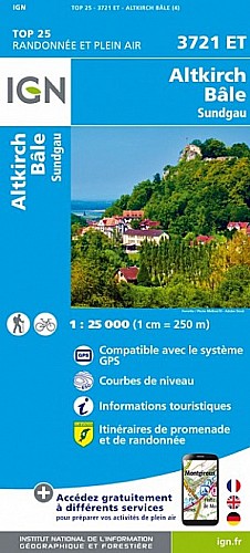
Counter-clockwise route from Mariastein through Burg im Leimental along the french border, cutting south and up onto the Challhöchli to Challpass, taken east until descending through Bergmattenhof, down to Hofstetten, then along the high edge of the fields back to Mariastein.
 Actions
24 km

+856 m/-861 m

±08:15

Cliquez pour activer

Cliquez et déplacez la souris sur le profil pour analyser un tronçon (2 doigts sur mobile)
Détails
Total distance: >24km
Total elevation gain: >880m
Commentaires
Pas encore de commentaire, connectez-vous pour en ajouter un.
Connectez-vous pour ajouter un commentaire
Longueur et nombre de points

24.44 km

348 pts
Denivelé et altitude
Calculés avec un seuil de 10 mètres et un lissage sur 3 points (corrigé car densité de points faible)

855 m

861 m

825 m

465 m

655 m
Plus

Affichée 623 fois et téléchargée 11 fois depuis le 12.04.15 09:48
Carte + Profil [Afficher un aperçu]
<iframe src="https://www.visugpx.com/o04tkGICvj?iframe" allowfullscreen style="border: 0;width: 100%; height: 540px;" scrolling="no"></iframe>
Carte uniquement [Afficher un aperçu]
<iframe src="https://www.visugpx.com/o04tkGICvj?iframe&maponly" allowfullscreen style="border: 0;width: 100%; height: 540px;" scrolling="no"></iframe>

Nous avons pris en compte votre choix.
Vous souhaitez maîtriser les informations qui peuvent être recueillies lors de votre navigation et avez refusé les cookies de personnalisation des annonces, c'est légitime.
Parce que le service fourni par VisuGPX a un coût, accepteriez-vous quand même que nous utilisions des cookies pour vous présenter des annonces non personnalisées ? Ces cookies ne sont pas des cookies de tracking mais de simples des cookies techniques de diffusion qui garantissent le respect votre vie privée.


 Actions
  24 km
24 km +856 m/-861 m
 ±08:15
 Cliquez et déplacez la souris sur le profil pour analyser un tronçon (2 doigts sur mobile)
 102
102 207
207 97 [Légende]
 Pour soutenir VisuGPX, faites le bon choix