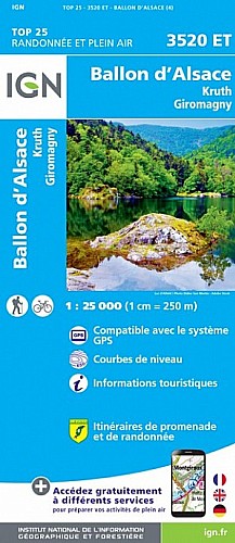
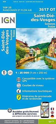
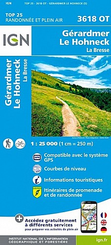
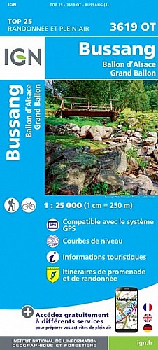
3 ème étape de la traversée des Hautes Vosges du Nord au Sud. Réalisée en deux jours avec hébergement dans une ferme auberge. Magnifique randonnée, principalement à découvert, donc on ne peut que s'en mettre plein la vue ! Une rando qui permet d'avoir une bonne idée de ce que sont les Hautes Vosges.
 Actions
46 km

+1717 m/-1267 m

11:45

Cliquez pour activer


Cliquez et déplacez la souris sur le profil pour analyser un tronçon (2 doigts sur mobile)
 Photos
Commentaires
Pas encore de commentaire, connectez-vous pour en ajouter un.
Connectez-vous pour ajouter un commentaire
Longueur et nombre de points

45.98 km

3043 pts
Denivelé et altitude
Calculés avec un seuil de 10 mètres et un lissage sur 5 points

1717 m

1268 m

1425 m

897 m

1215 m
Date et durée

30 août 2008
11:12

31 août 2008
19:06

2 jours

11:38:17
Vitesses et denivelés horaires

4 km/h
Détail »

5.8 km/h
au km 32.7

319 m/h
4h57m32s

-347 m/h
3h04m03s
| km | Temps | Vitesse | Pause |
|---|
| 1 | 13'50" | 4.3 km/h | |
| 2 | 14'33" | 4.1 km/h | 02'38" |
| 3 | 12'44" | 4.7 km/h | |
| 4 | 13'40" | 4.4 km/h | |
| 5 | 14'54" | 4 km/h | |
| 6 | 15'00" | 4 km/h | |
| 7 | 17'25" | 3.4 km/h | 23'42" |
| 8 | 15'25" | 3.9 km/h | |
| 9 | 14'30" | 4.1 km/h | 05'02" |
| 10 | 13'18" | 4.5 km/h | |
| 11 | 18'20" | 3.3 km/h | 02'21" |
| 12 | 14'00" | 4.3 km/h | |
| 13 | 16'16" | 3.7 km/h | 68'34" |
| 14 | 18'24" | 3.3 km/h | 02'02" |
| 15 | 15'24" | 3.9 km/h | |
| 16 | 17'11" | 3.5 km/h | |
| 17 | 17'42" | 3.4 km/h | |
| 18 | 17'11" | 3.5 km/h | 26'26" |
| 19 | 13'41" | 4.4 km/h | |
| 20 | 14'42" | 4.1 km/h | |
| 21 | 15'37" | 3.8 km/h | 26'31" |
| 22 | 16'32" | 3.6 km/h | 28'04" |
| 23 | 13'12" | 4.5 km/h | |
| 24 | 14'53" | 4 km/h | 889'28" |
| 25 | 15'20" | 3.9 km/h | |
| 26 | 13'59" | 4.3 km/h | |
| 27 | 15'30" | 3.9 km/h | |
| 28 | 12'06" | 5 km/h | 07'58" |
| 29 | 13'23" | 4.5 km/h | |
| 30 | 14'57" | 4 km/h | 06'32" |
| 31 | 13'30" | 4.4 km/h | |
| 32 | 14'20" | 4.2 km/h | |
| 33 | 11'01" | 5.4 km/h | |
| 34 | 12'39" | 4.7 km/h | 19'34" |
| 35 | 16'49" | 3.6 km/h | |
| 36 | 11'31" | 5.2 km/h | |
| 37 | 14'19" | 4.2 km/h | 69'54" |
| 38 | 12'13" | 4.9 km/h | 23'16" |
| 39 | 13'30" | 4.4 km/h | |
| 40 | 13'02" | 4.6 km/h | |
| 41 | 14'05" | 4.3 km/h | 02'41" |
| 42 | 14'46" | 4.1 km/h | |
| 43 | 21'32" | 2.8 km/h | 02'07" |
| 44 | 19'06" | 3.1 km/h | 03'36" |
| 45 | 22'46" | 2.6 km/h | |
Dépense calorique (estimation)

1805 Cal
155 Cal/h
Plus

Affichée 1079 fois et téléchargée 33 fois depuis le 07.04.20 15:25
 Impossible de récupérer l'indice IBP de cette trace
Carte + Profil [Afficher un aperçu]
<iframe src="https://www.visugpx.com/nZHPdekouf?iframe" allowfullscreen style="border: 0;width: 100%; height: 540px;" scrolling="no"></iframe>
Carte uniquement [Afficher un aperçu]
<iframe src="https://www.visugpx.com/nZHPdekouf?iframe&maponly" allowfullscreen style="border: 0;width: 100%; height: 540px;" scrolling="no"></iframe>
Nous avons pris en compte votre choix.
Vous souhaitez maîtriser les informations qui peuvent être recueillies lors de votre navigation et avez refusé les cookies de personnalisation des annonces, c'est légitime.
Parce que le service fourni par VisuGPX a un coût, accepteriez-vous quand même que nous utilisions des cookies pour vous présenter des annonces non personnalisées ? Ces cookies ne sont pas des cookies de tracking mais de simples des cookies techniques de diffusion qui garantissent le respect votre vie privée.


 Actions
  46 km
46 km +1717 m/-1267 m
 11:45
11:45

 Cliquez et déplacez la souris sur le profil pour analyser un tronçon (2 doigts sur mobile)


 Pour soutenir VisuGPX, faites le bon choix