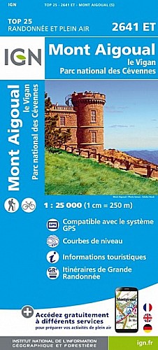
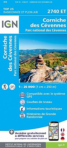
Randonnée classique des 4000 marches - de très beaux points de vue - choisir la variante passage en crête sur le le trajet du Mont Aigoual au refuge d'Aire de Côte
voir des photos et d'autres parcours sur
www.vertygo.org 
 goo.gl/photos/PDxXTLsruT6SLEht5
 Actions
25 km

+1290 m/-1297 m

07:00

Cliquez pour activer


Cliquez et déplacez la souris sur le profil pour analyser un tronçon (2 doigts sur mobile)
Commentaires
Pas encore de commentaire, connectez-vous pour en ajouter un.
Connectez-vous pour ajouter un commentaire
Longueur et nombre de points

24.65 km

1561 pts
Denivelé et altitude
Calculés avec un seuil de 10 mètres et un lissage sur 5 points

1289 m

1298 m

1561 m

343 m

930 m
Date et durée

16 mai 2015
12:40

16 mai 2015
20:02

07:21:35

06:59:29

00:22:06
Vitesses et denivelés horaires

3.5 km/h
Détail »

7.8 km/h
au km 11.2

386 m/h
3h17m05s

-487 m/h
2h37m19s
| km | Temps | Vitesse | Pause |
|---|
| 1 | 20'31" | 2.9 km/h | 03'30" |
| 2 | 24'52" | 2.4 km/h | |
| 3 | 21'09" | 2.8 km/h | |
| 4 | 18'17" | 3.3 km/h | |
| 5 | 19'10" | 3.1 km/h | |
| 6 | 22'14" | 2.7 km/h | 08'53" |
| 7 | 22'15" | 2.7 km/h | |
| 8 | 21'01" | 2.9 km/h | |
| 9 | 20'36" | 2.9 km/h | |
| 10 | 27'01" | 2.2 km/h | 09'43" |
| 11 | 12'57" | 4.6 km/h | |
| 12 | 15'37" | 3.8 km/h | |
| 13 | 16'09" | 3.7 km/h | |
| 14 | 14'16" | 4.2 km/h | |
| 15 | 11'52" | 5.1 km/h | |
| 16 | 11'44" | 5.1 km/h | |
| 17 | 11'07" | 5.4 km/h | |
| 18 | 19'18" | 3.1 km/h | |
| 19 | 16'14" | 3.7 km/h | |
| 20 | 13'33" | 4.4 km/h | |
| 21 | 14'15" | 4.2 km/h | |
| 22 | 13'08" | 4.6 km/h | |
| 23 | 11'14" | 5.3 km/h | |
| 24 | 10'50" | 5.5 km/h | |
Dépense calorique (estimation)

1228 Cal
176 Cal/h
Plus

Affichée 1277 fois et téléchargée 50 fois depuis le 07.04.20 15:25
Carte + Profil [Afficher un aperçu]
<iframe src="https://www.visugpx.com/lq3bVZ8stt?iframe" allowfullscreen style="border: 0;width: 100%; height: 540px;" scrolling="no"></iframe>
Carte uniquement [Afficher un aperçu]
<iframe src="https://www.visugpx.com/lq3bVZ8stt?iframe&maponly" allowfullscreen style="border: 0;width: 100%; height: 540px;" scrolling="no"></iframe>


Nous avons pris en compte votre choix.
Vous souhaitez maîtriser les informations qui peuvent être recueillies lors de votre navigation et avez refusé les cookies de personnalisation des annonces, c'est légitime.
Parce que le service fourni par VisuGPX a un coût, accepteriez-vous quand même que nous utilisions des cookies pour vous présenter des annonces non personnalisées ? Ces cookies ne sont pas des cookies de tracking mais de simples des cookies techniques de diffusion qui garantissent le respect votre vie privée.


 Actions
  25 km
25 km +1290 m/-1297 m
 07:00
07:00

 Cliquez et déplacez la souris sur le profil pour analyser un tronçon (2 doigts sur mobile)
 120
120 259
259 151 [Légende]

 Pour soutenir VisuGPX, faites le bon choix