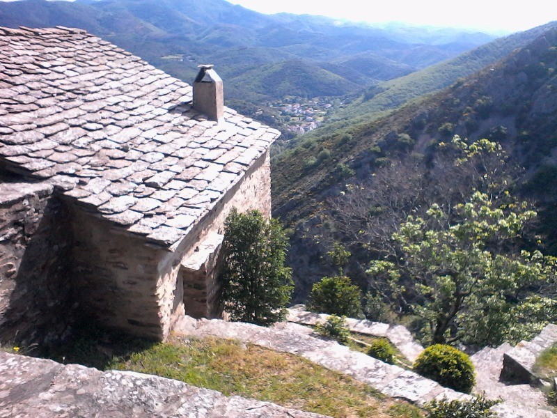
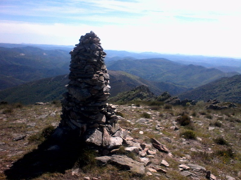
Rando au départ d'Andabre , montée à Notre Dame de St Eutrope suivie de l'arrête du même nom, passage par le col de l'Ourtigas et retour par le portail de Roquandouire.
 Actions
17.3 km

+1062 m
/-1044 m
05:07

Cliquez pour activer


Cliquez et déplacez la souris sur le profil pour analyser un tronçon (2 doigts sur mobile)
 Photos
Commentaires
Pas encore de commentaire, connectez-vous pour en ajouter un.
Connectez-vous pour ajouter un commentaire
Longueur et nombre de points

17.26 km

1955 pts
Denivelé et altitude
Calculés sans seuil et un lissage sur 5 points

1061 m

1045 m

1086 m

354 m

765 m
Date et durée

16 mai 2017
09:18

16 mai 2017
16:13

06:54:56

05:07:32

01:47:24
Vitesses et denivelés horaires

3.4 km/h
Détail »

5.9 km/h
au km 14.6

426 m/h
2h19m02s

-484 m/h
2h02m08s
| km | Temps | Vitesse | Pause |
|---|
| 1 | 13'20" | 4.5 km/h | |
| 2 | 13'11" | 4.5 km/h | |
| 3 | 25'27" | 2.4 km/h | 10'31" |
| 4 | 32'05" | 1.9 km/h | 10'44" |
| 5 | 19'36" | 3.1 km/h | 05'07" |
| 6 | 17'29" | 3.4 km/h | 06'14" |
| 7 | 18'31" | 3.2 km/h | |
| 8 | 17'02" | 3.5 km/h | 59'17" |
| 9 | 19'01" | 3.2 km/h | |
| 10 | 15'56" | 3.8 km/h | |
| 11 | 20'52" | 2.9 km/h | |
| 12 | 17'59" | 3.3 km/h | 03'05" |
| 13 | 18'33" | 3.2 km/h | 05'58" |
| 14 | 13'01" | 4.6 km/h | |
| 15 | 12'57" | 4.6 km/h | |
| 16 | 16'08" | 3.7 km/h | 03'01" |
| 17 | 13'01" | 4.6 km/h | 01'30" |
Dépense calorique (estimation)

835 Cal
163 Cal/h
Plus

Affichée 1713 fois et téléchargée 134 fois depuis le 07.04.20 15:25
KME
31.4 kilomètres effort
Carte + Profil [Afficher un aperçu]
<iframe src="https://www.visugpx.com/l4VvkBhpsJ?iframe" allowfullscreen style="border: 0;width: 100%; height: 540px;" loading="lazy" scrolling="no"></iframe>
Carte uniquement [Afficher un aperçu]
<iframe src="https://www.visugpx.com/l4VvkBhpsJ?iframe&maponly" allowfullscreen style="border: 0;width: 100%; height: 540px;" loading="lazy" scrolling="no"></iframe>

 ForumsToposLes plus belles randosSegments
 Offre Premium
 Connexion


 100
100 224
224 130 [Légende]


