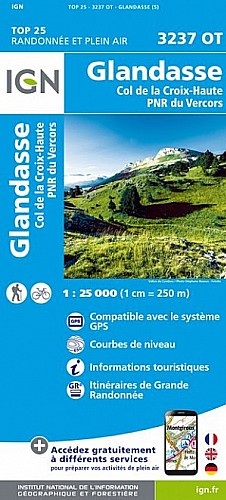
Une randonnée facile essentiellement sur petite route et piste avec une descente finale par un sentier bien marqué entre buis ou en foret , randonnée au départ de Saint-Julien-en-Beauchêne et ayant pour but les ruines de l'ancienne Chartreuse de Durbon.
Très beau panorama sur 360° depuis le plateau de l'AUPET.
 Actions
11 km

+380 m/-377 m

02:30

Cliquez pour activer


Cliquez et déplacez la souris sur le profil pour analyser un tronçon (2 doigts sur mobile)
Détails
voir rando 
Commentaires
Pas encore de commentaire, connectez-vous pour en ajouter un.
Connectez-vous pour ajouter un commentaire
Longueur et nombre de points

10.86 km

938 pts
Denivelé et altitude
Calculés avec un seuil de 10 mètres et un lissage sur 5 points

380 m

378 m

1259 m

925 m

1121 m
Date et durée

23 avril 2018
07:56

23 avril 2018
10:32

02:35:53

02:33:08

00:02:45
Vitesses et denivelés horaires

4.3 km/h
Détail »

6.3 km/h
au km 8.7

282 m/h
1h16m18s

-497 m/h
0h41m20s
| km | Temps | Vitesse | Pause |
|---|
| 1 | 12'13" | 4.9 km/h | |
| 2 | 12'29" | 4.8 km/h | |
| 3 | 12'39" | 4.7 km/h | |
| 4 | 13'33" | 4.4 km/h | |
| 5 | 15'14" | 3.9 km/h | |
| 6 | 15'38" | 3.8 km/h | |
| 7 | 13'20" | 4.5 km/h | |
| 8 | 14'15" | 4.2 km/h | |
| 9 | 12'55" | 4.6 km/h | |
| 10 | 17'19" | 3.5 km/h | 02'45" |
Dépense calorique (estimation)

428 Cal
168 Cal/h
Plus

Affichée 789 fois et téléchargée 32 fois depuis le 07.04.20 15:25
Carte + Profil [Afficher un aperçu]
<iframe src="https://www.visugpx.com/kWZHgUdyOd?iframe" allowfullscreen style="border: 0;width: 100%; height: 540px;" scrolling="no"></iframe>
Carte uniquement [Afficher un aperçu]
<iframe src="https://www.visugpx.com/kWZHgUdyOd?iframe&maponly" allowfullscreen style="border: 0;width: 100%; height: 540px;" scrolling="no"></iframe>


Nous avons pris en compte votre choix.
Vous souhaitez maîtriser les informations qui peuvent être recueillies lors de votre navigation et avez refusé les cookies de personnalisation des annonces, c'est légitime.
Parce que le service fourni par VisuGPX a un coût, accepteriez-vous quand même que nous utilisions des cookies pour vous présenter des annonces non personnalisées ? Ces cookies ne sont pas des cookies de tracking mais de simples des cookies techniques de diffusion qui garantissent le respect votre vie privée.


 Actions
  11 km
11 km +380 m/-377 m
 02:30
02:30

 Cliquez et déplacez la souris sur le profil pour analyser un tronçon (2 doigts sur mobile)

 47
47 89
89 24 [Légende]


 Pour soutenir VisuGPX, faites le bon choix