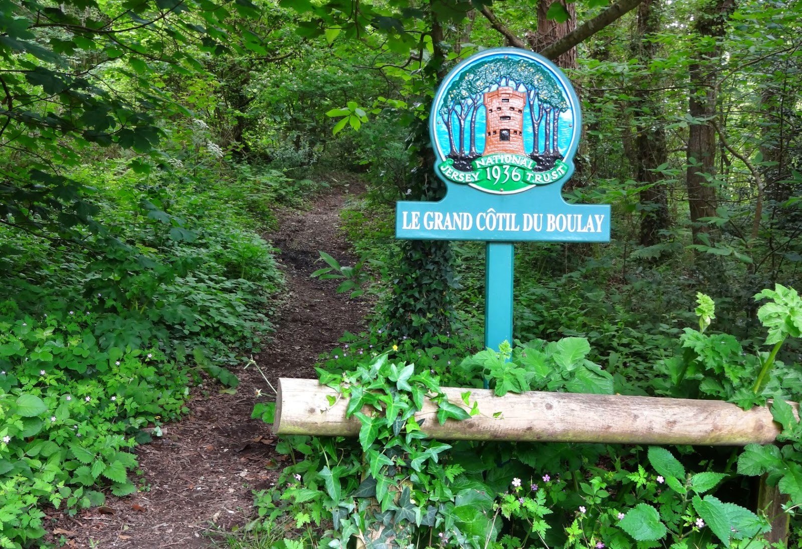
Jersey - Trinity, Bouley bay, Hougue-Bie, Maufant, saint Hélier
 Actions
16.2 km

+303 m
/-369 m
04:01

Cliquez pour activer


Cliquez et déplacez la souris sur le profil pour analyser un tronçon (2 doigts sur mobile)
Détails
Bus n°4 pour monter sur la côte nord, à ne pas manquer car plus sauvage, et bus n° 2 pour rejoindre le centre de Saint Hélier.
La gare routière s'appelle Liberation Station et est très proche du port et de la Poste (le change d'argent se fait facilement à la Poste).
 Photos
Commentaires
Pas encore de commentaire, connectez-vous pour en ajouter un.
Connectez-vous pour ajouter un commentaire
Longueur et nombre de points

16.15 km

196 pts
Denivelé et altitude
Calculés avec un seuil de 10 mètres et un lissage sur 3 points (corrigé car densité de points faible)

302 m

370 m

129 m

19 m

67 m
Date et durée

27 mai 2014
09:10

27 mai 2014
13:11

04:01:12
Vitesses et denivelés horaires

4 km/h
Détail »

20.1 km/h
au km 8.8

147 m/h
1h33m04s

-460 m/h
0h36m16s
| km | Temps | Vitesse | Pause |
|---|
| 1 | 07'50" | 7.7 km/h | |
| 2 | 19'13" | 3.1 km/h | |
| 3 | 24'35" | 2.4 km/h | |
| 4 | 26'43" | 2.2 km/h | |
| 5 | 22'27" | 2.7 km/h | |
| 6 | 14'46" | 4.1 km/h | |
| 7 | 25'53" | 2.3 km/h | |
| 8 | 04'28" | 13.4 km/h | |
| 9 | 10'34" | 5.7 km/h | |
| 10 | 13'36" | 4.4 km/h | |
| 11 | 11'54" | 5 km/h | |
| 12 | 12'11" | 4.9 km/h | |
| 13 | 11'29" | 5.2 km/h | |
| 14 | 04'37" | 13 km/h | |
| 15 | 13'41" | 4.4 km/h | |
| 16 | 15'36" | 3.8 km/h | |
Dépense calorique (estimation)

420 Cal
105 Cal/h
Plus

Affichée 239 fois et téléchargée 17 fois depuis le 23.02.21 19:58
KME
20.4 kilomètres effort
Carte + Profil [Afficher un aperçu]
<iframe src="https://www.visugpx.com/jwkPnI0p66?iframe" allowfullscreen style="border: 0;width: 100%; height: 540px;" loading="lazy" scrolling="no"></iframe>
Carte uniquement [Afficher un aperçu]
<iframe src="https://www.visugpx.com/jwkPnI0p66?iframe&maponly" allowfullscreen style="border: 0;width: 100%; height: 540px;" loading="lazy" scrolling="no"></iframe>
 ForumsToposLes plus belles randosSegments
 Offre Premium
 Connexion


 58
58 104
104 41 [Légende]


