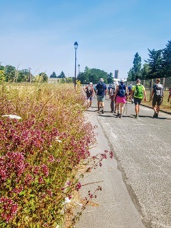
Sortie effectuée avec le Rando Club Yerrois .
Tracée/ reconnue / menée par Nathalie et Hélène
Effectif autour de la trentaine
Météo ultra séche et sans difficulté
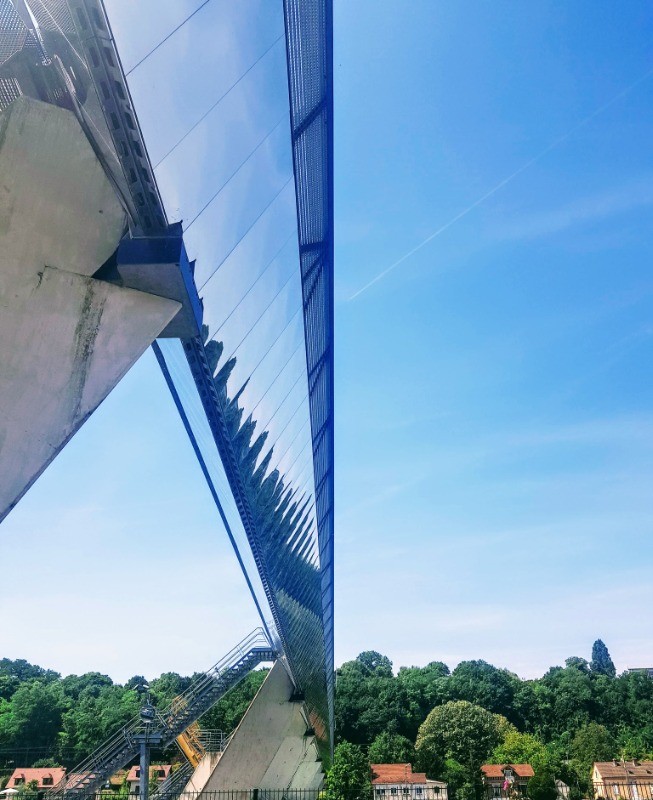
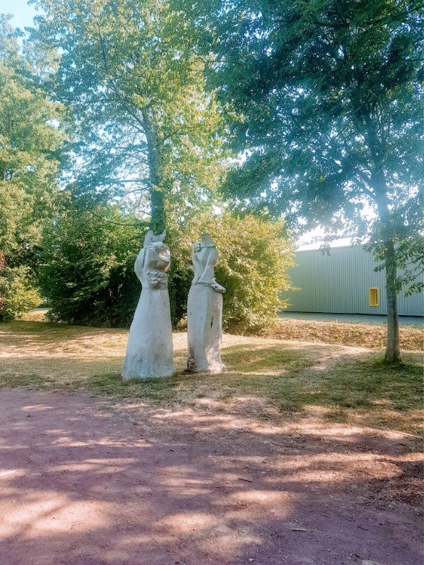
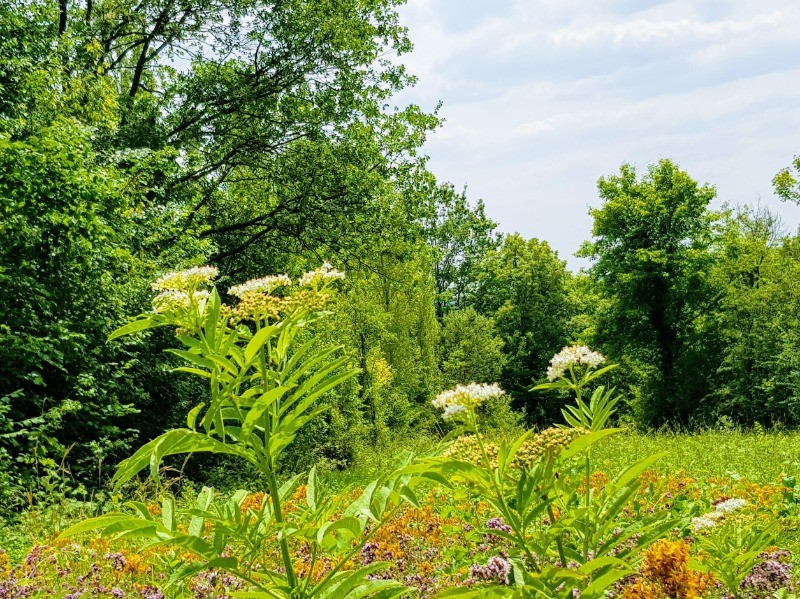
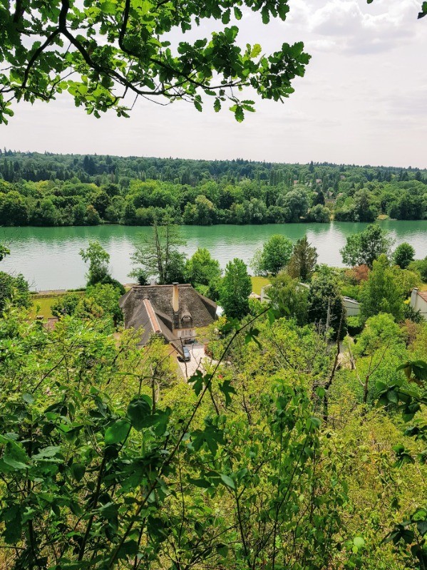
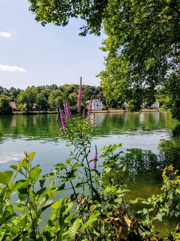
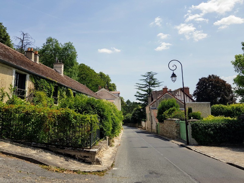
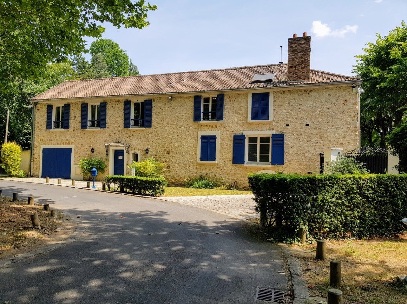
de très beau passage en bord de Seine
 Actions
20.9 km

+89 m
/-101 m
04:47

Cliquez pour activer


Cliquez et déplacez la souris sur le profil pour analyser un tronçon (2 doigts sur mobile)
Détails
Relive
youtu.be/InNp1h4a6UM Photos
Commentaires
Pas encore de commentaire, connectez-vous pour en ajouter un.
Connectez-vous pour ajouter un commentaire
Longueur et nombre de points

20.89 km

4223 pts
Denivelé et altitude
Calculés avec un seuil de 10 mètres et un lissage sur 5 points

88 m

101 m

144 m

87 m

120 m
Date et durée

17 juillet 2019
09:33

17 juillet 2019
16:03

06:30:01

04:47:03

01:42:58
Vitesses et denivelés horaires

4.4 km/h
Détail »

6.1 km/h
au km 10.7

173 m/h
0h13m34s

-188 m/h
0h13m46s
| km | Temps | Vitesse | Pause |
|---|
| 1 | 13'03" | 4.6 km/h | |
| 2 | 12'27" | 4.8 km/h | |
| 3 | 12'58" | 4.6 km/h | 05'29" |
| 4 | 13'43" | 4.4 km/h | |
| 5 | 14'41" | 4.1 km/h | |
| 6 | 13'12" | 4.5 km/h | 12'55" |
| 7 | 12'02" | 5 km/h | |
| 8 | 13'23" | 4.5 km/h | |
| 9 | 12'29" | 4.8 km/h | 02'50" |
| 10 | 12'12" | 4.9 km/h | 05'18" |
| 11 | 12'40" | 4.7 km/h | |
| 12 | 12'55" | 4.6 km/h | |
| 13 | 14'05" | 4.3 km/h | 05'20" |
| 14 | 13'21" | 4.5 km/h | 43'09" |
| 15 | 14'07" | 4.2 km/h | 01'29" |
| 16 | 13'15" | 4.5 km/h | 02'44" |
| 17 | 15'35" | 3.9 km/h | |
| 18 | 13'51" | 4.3 km/h | 07'35" |
| 19 | 20'34" | 2.9 km/h | 10'02" |
| 20 | 14'08" | 4.2 km/h | 06'07" |
Dépense calorique (estimation)

281 Cal
59 Cal/h
Plus

Affichée 733 fois et téléchargée 48 fois depuis le 17.07.19 19:01
KME
22.1 kilomètres effort
Carte + Profil [Afficher un aperçu]
<iframe src="https://www.visugpx.com/jfSfhhNRfD?iframe" allowfullscreen style="border: 0;width: 100%; height: 540px;" loading="lazy" scrolling="no"></iframe>
Carte uniquement [Afficher un aperçu]
<iframe src="https://www.visugpx.com/jfSfhhNRfD?iframe&maponly" allowfullscreen style="border: 0;width: 100%; height: 540px;" loading="lazy" scrolling="no"></iframe>


 ForumsToposLes plus belles randosSegments
 Offre Premium
 Connexion


 54
54 77
77 14 [Légende]


