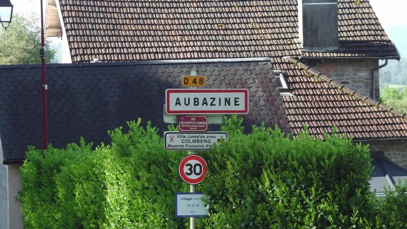
Rando de reconnaissance en vue de simplifier la boucle déjà faite au départ d'Aubazines.
Sur le terrain, gps recommandé, balisages multiples et peu fiable. En Juin le groupe du samedi de randocaillac sera sur le terrain
 Actions
19.4 km

+684 m
/-680 m
05:37

Cliquez pour activer


Cliquez et déplacez la souris sur le profil pour analyser un tronçon (2 doigts sur mobile)
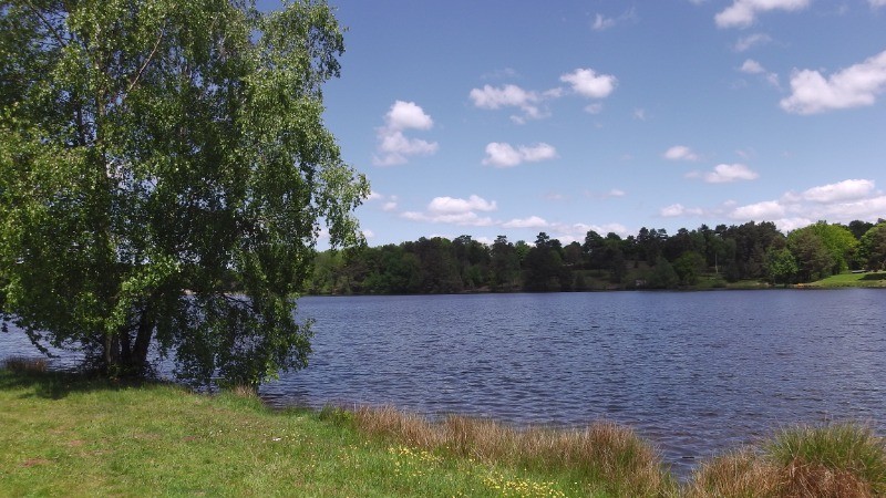
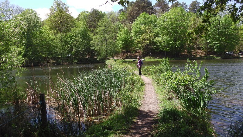
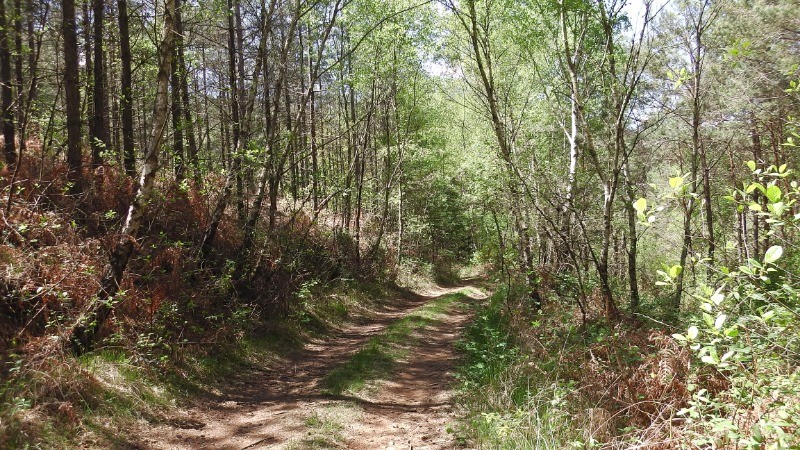
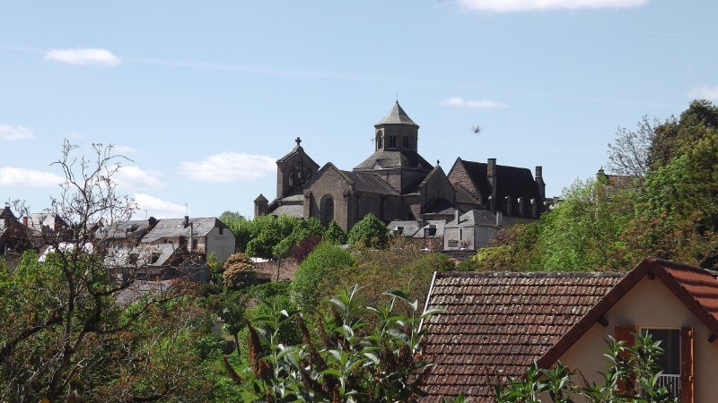
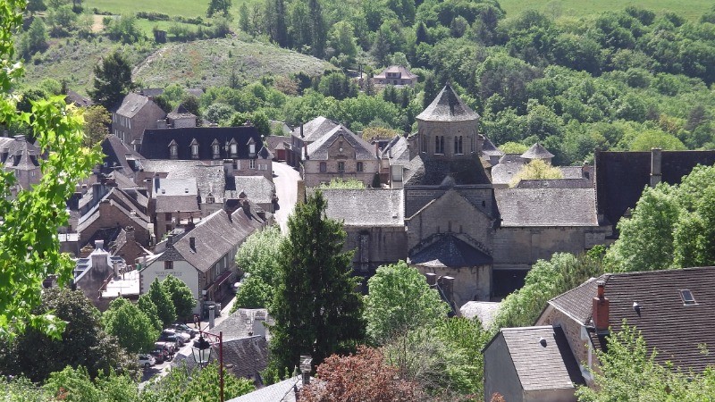
 Photos
Commentaires
Pas encore de commentaire, connectez-vous pour en ajouter un.
Connectez-vous pour ajouter un commentaire
Longueur et nombre de points

19.43 km

1686 pts
Denivelé et altitude
Calculés avec un seuil de 10 mètres et un lissage sur 5 points

683 m

681 m

509 m

268 m

427 m
Date et durée

12 mai 2019
09:41

12 mai 2019
16:06

06:24:57

05:37:31

00:47:26
Vitesses et denivelés horaires

3.5 km/h
Détail »

5.8 km/h
au km 1.5

234 m/h
2h04m17s

-274 m/h
1h45m29s
| km | Temps | Vitesse | Pause |
|---|
| 1 | 17'36" | 3.4 km/h | |
| 2 | 18'40" | 3.2 km/h | |
| 3 | 19'53" | 3 km/h | |
| 4 | 19'08" | 3.1 km/h | |
| 5 | 19'10" | 3.1 km/h | |
| 6 | 18'43" | 3.2 km/h | |
| 7 | 16'50" | 3.6 km/h | 01'33" |
| 8 | 15'45" | 3.8 km/h | 27'47" |
| 9 | 14'37" | 4.1 km/h | |
| 10 | 13'41" | 4.4 km/h | |
| 11 | 15'29" | 3.9 km/h | |
| 12 | 17'48" | 3.4 km/h | |
| 13 | 17'02" | 3.5 km/h | |
| 14 | 16'58" | 3.5 km/h | |
| 15 | 14'14" | 4.2 km/h | 03'02" |
| 16 | 17'23" | 3.5 km/h | |
| 17 | 16'48" | 3.6 km/h | |
| 18 | 19'54" | 3 km/h | 12'40" |
| 19 | 19'30" | 3.1 km/h | |
Dépense calorique (estimation)

698 Cal
124 Cal/h
Plus

Affichée 1069 fois et téléchargée 83 fois depuis le 13.05.19 07:55
KME
28.5 kilomètres effort
Carte + Profil [Afficher un aperçu]
<iframe src="https://www.visugpx.com/j5QZnt6Vxw?iframe" allowfullscreen style="border: 0;width: 100%; height: 540px;" loading="lazy" scrolling="no"></iframe>
Carte uniquement [Afficher un aperçu]
<iframe src="https://www.visugpx.com/j5QZnt6Vxw?iframe&maponly" allowfullscreen style="border: 0;width: 100%; height: 540px;" loading="lazy" scrolling="no"></iframe>


 ForumsToposLes plus belles randosSegments
 Offre Premium
 Connexion


 61
61 103
103 33 [Légende]


