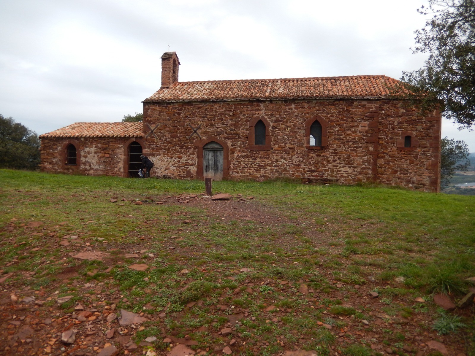
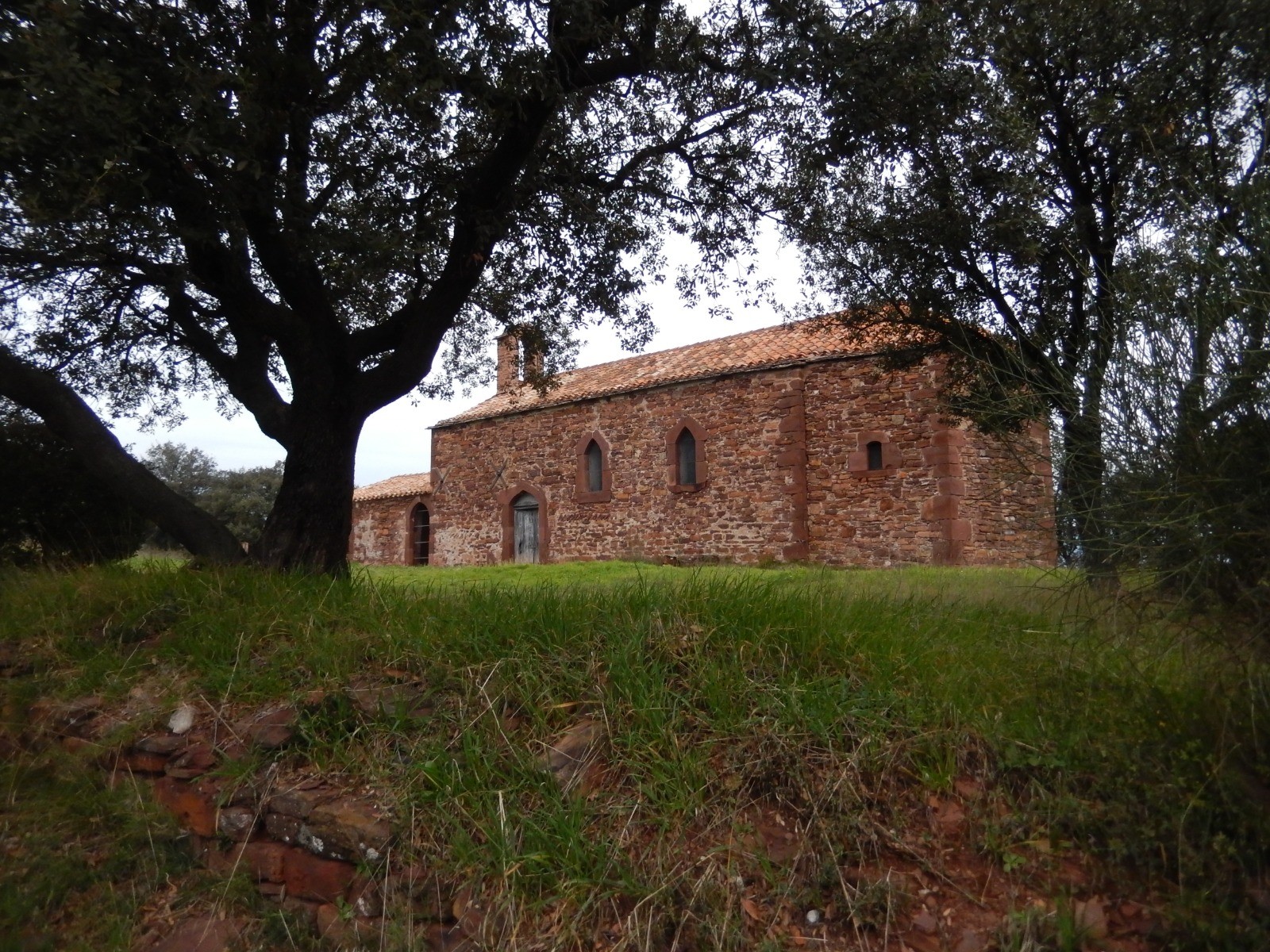
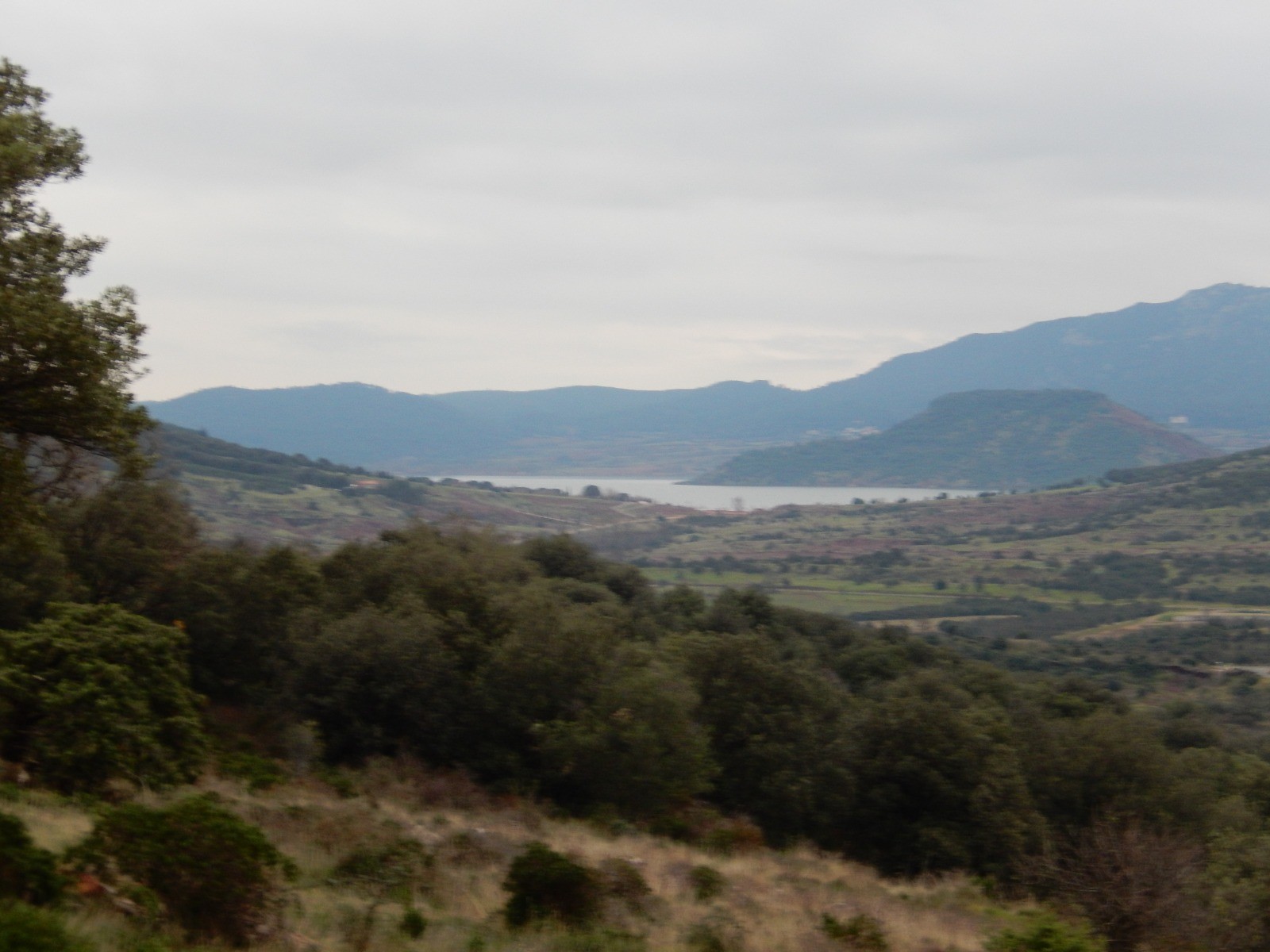
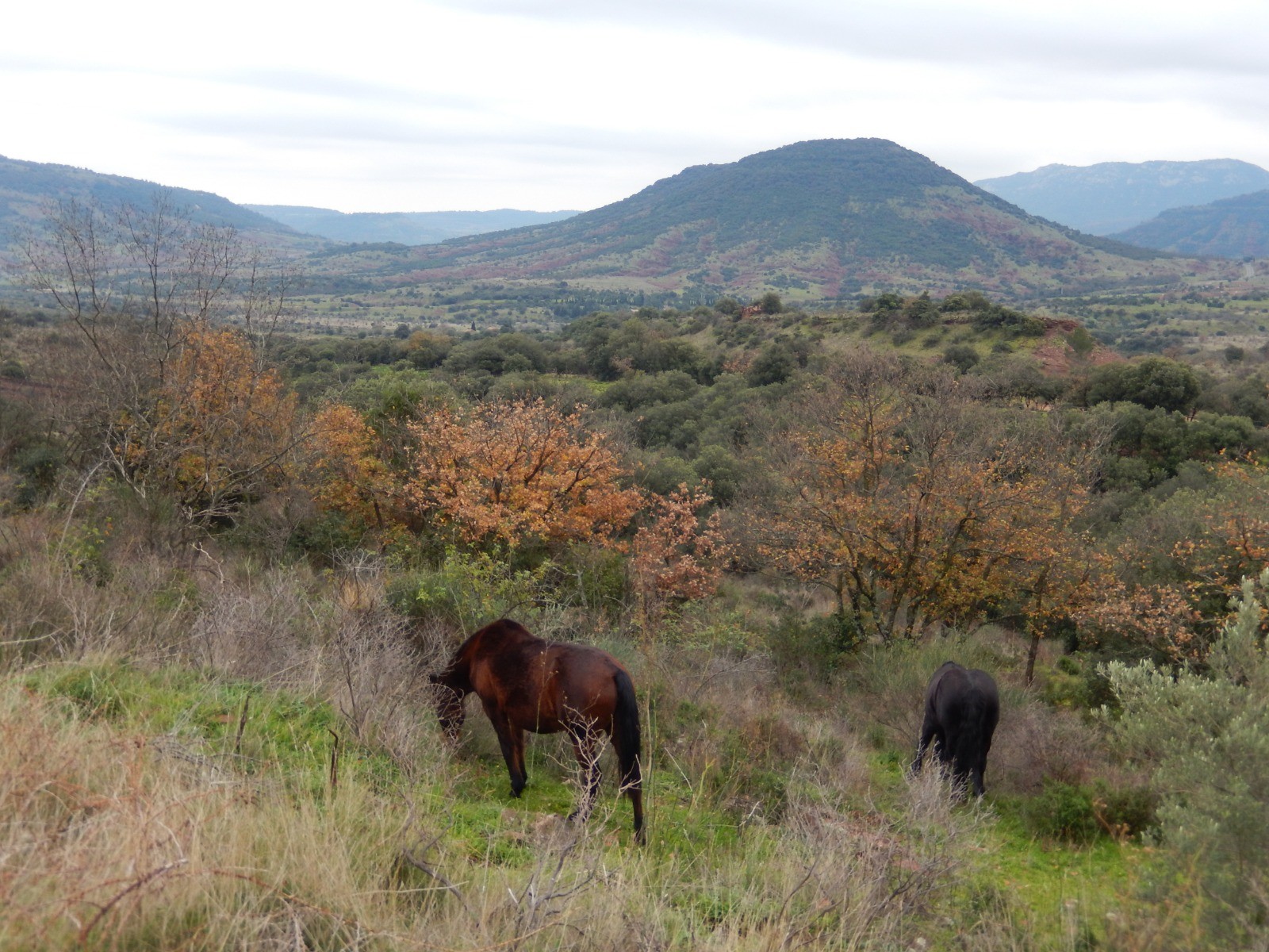
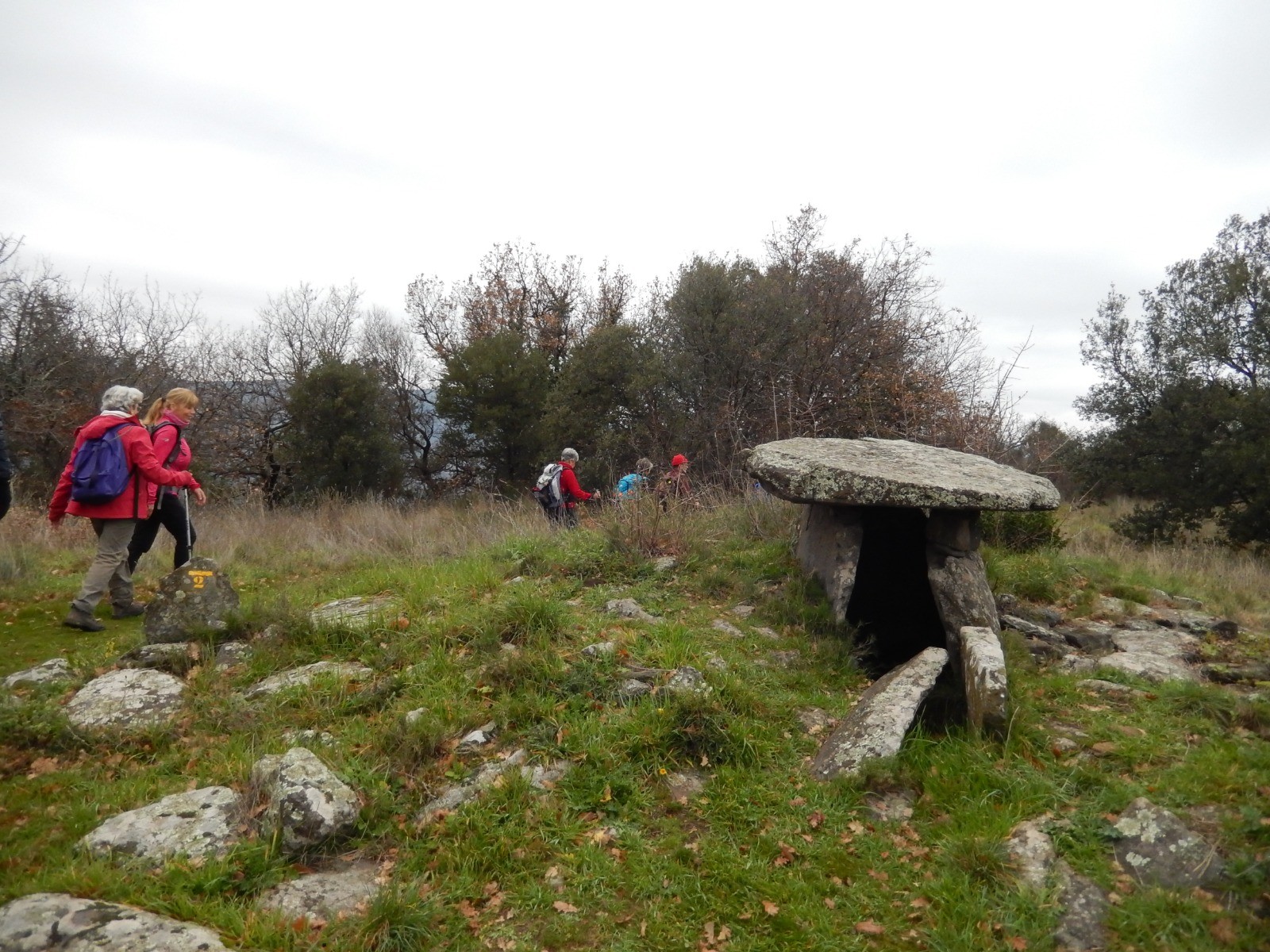
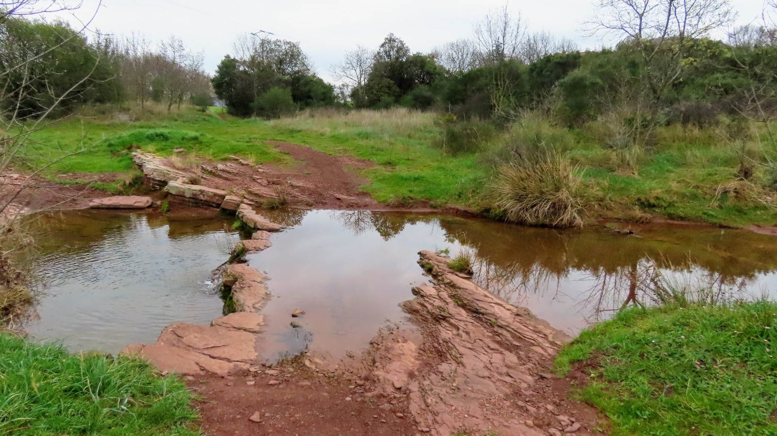
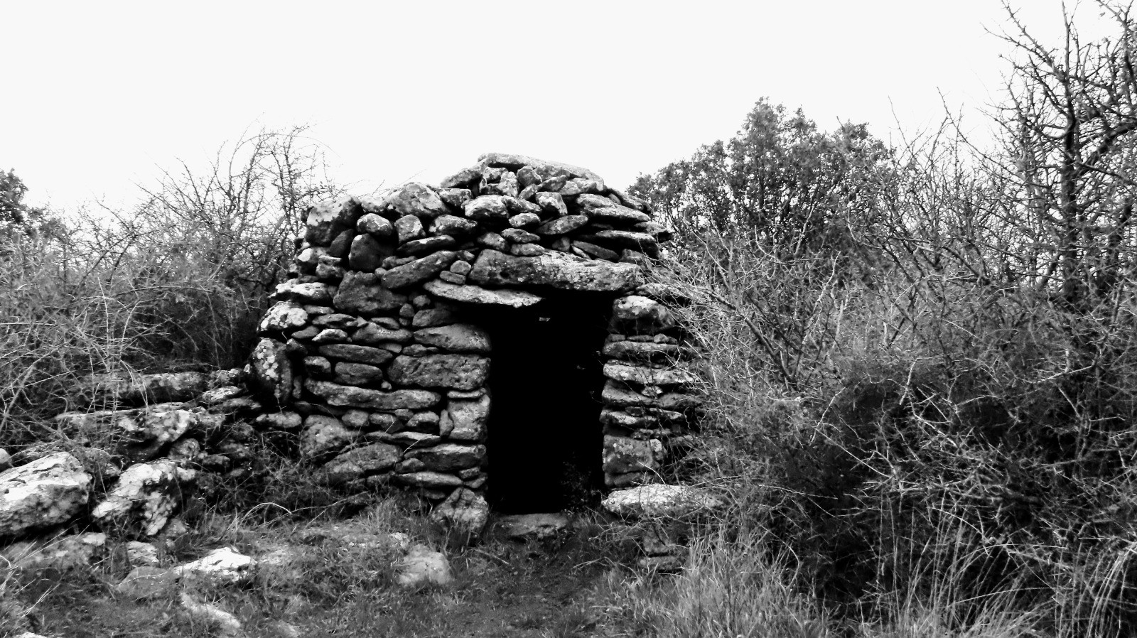
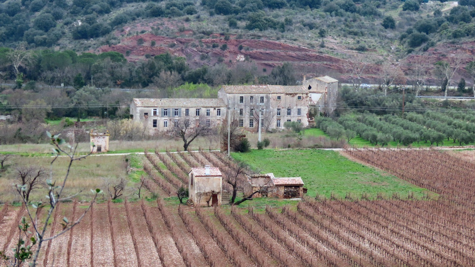
Au départ du village du Puech, une agréable rando de difficulté moyenne, par les hameaux des Hémies avec sa chapelle St Agricol, de Rabejac, puis à travers la ruffe rouge typique du Salagou et la montée sur le Cayroux avec de magnifiques paysages sur la plaine et le Salagou.
 Actions
11 km

+406 m
/-391 m
03:12

Cliquez pour activer


Cliquez et déplacez la souris sur le profil pour analyser un tronçon (2 doigts sur mobile)
 Photos
Commentaires
Pas encore de commentaire, connectez-vous pour en ajouter un.
Connectez-vous pour ajouter un commentaire
Longueur et nombre de points

11.05 km

1373 pts
Denivelé et altitude
Calculés avec un seuil de 10 mètres et un lissage sur 5 points

406 m

391 m

374 m

120 m

220 m
Date et durée

02 janvier 2020
08:22

02 janvier 2020
12:02

03:40:24

03:12:00

00:28:24
Vitesses et denivelés horaires

3.5 km/h
Détail »

5.8 km/h
au km 3.6

340 m/h
1h00m59s

-297 m/h
1h08m40s
| km | Temps | Vitesse | Pause |
|---|
| 1 | 20'11" | 3 km/h | 02'16" |
| 2 | 17'28" | 3.4 km/h | |
| 3 | 13'48" | 4.3 km/h | 03'01" |
| 4 | 15'47" | 3.8 km/h | |
| 5 | 13'08" | 4.6 km/h | |
| 6 | 14'02" | 4.3 km/h | 16'25" |
| 7 | 15'03" | 4 km/h | |
| 8 | 25'53" | 2.3 km/h | |
| 9 | 15'37" | 3.8 km/h | 04'49" |
| 10 | 22'52" | 2.6 km/h | |
| 11 | 17'27" | 3.4 km/h | |
Dépense calorique (estimation)

403 Cal
126 Cal/h
Plus

Affichée 1070 fois et téléchargée 64 fois depuis le 07.04.20 15:25
KME
16.4 kilomètres effort
Carte + Profil [Afficher un aperçu]
<iframe src="https://www.visugpx.com/iHGgWxHZ0U?iframe" allowfullscreen style="border: 0;width: 100%; height: 540px;" loading="lazy" scrolling="no"></iframe>
Carte uniquement [Afficher un aperçu]
<iframe src="https://www.visugpx.com/iHGgWxHZ0U?iframe&maponly" allowfullscreen style="border: 0;width: 100%; height: 540px;" loading="lazy" scrolling="no"></iframe>

 ForumsToposLes plus belles randosSegments
 Offre Premium
 Connexion


 51
51 98
98 42 [Légende]


