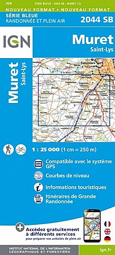
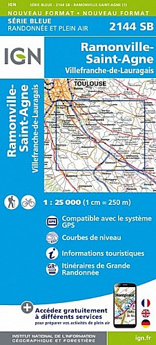
Un parcours 2016 inédit : une boucle dans les coteaux du Lauragais jusqu'à Lacroix-Falgarde...
Ce parcours mixte, 50 % sur chemin et 50 % sur bitume, plus roulant pour les cyclistes, présente quelques surprises ou obstacles : un ruisseau à traverser à gué, un arbre couché et un talus raide, infranchissable seul à vélo !
 Actions
22 km

+423 m/-431 m

Cliquez pour activer

Cliquez et déplacez la souris sur le profil pour analyser un tronçon (2 doigts sur mobile)
Commentaires
Pas encore de commentaire, connectez-vous pour en ajouter un.
Connectez-vous pour ajouter un commentaire
Longueur et nombre de points

21.81 km

1412 pts
Denivelé et altitude
Calculés avec un seuil de 10 mètres et un lissage sur 5 points

422 m

431 m

279 m

164 m

219 m
Plus

Affichée 3539 fois et téléchargée 227 fois depuis le 25.09.16 15:36
Carte + Profil [Afficher un aperçu]
<iframe src="https://www.visugpx.com/hUR2Ugi2UN?iframe" allowfullscreen style="border: 0;width: 100%; height: 540px;" scrolling="no"></iframe>
Carte uniquement [Afficher un aperçu]
<iframe src="https://www.visugpx.com/hUR2Ugi2UN?iframe&maponly" allowfullscreen style="border: 0;width: 100%; height: 540px;" scrolling="no"></iframe>


Nous avons pris en compte votre choix.
Vous souhaitez maîtriser les informations qui peuvent être recueillies lors de votre navigation et avez refusé les cookies de personnalisation des annonces, c'est légitime.
Parce que le service fourni par VisuGPX a un coût, accepteriez-vous quand même que nous utilisions des cookies pour vous présenter des annonces non personnalisées ? Ces cookies ne sont pas des cookies de tracking mais de simples des cookies techniques de diffusion qui garantissent le respect votre vie privée.


 Actions
  22 km
22 km +423 m/-431 m
 Cliquez et déplacez la souris sur le profil pour analyser un tronçon (2 doigts sur mobile)
 68
68 113
113 36 [Légende]

 Pour soutenir VisuGPX, faites le bon choix