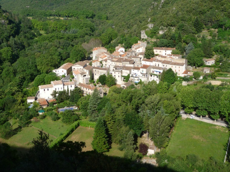
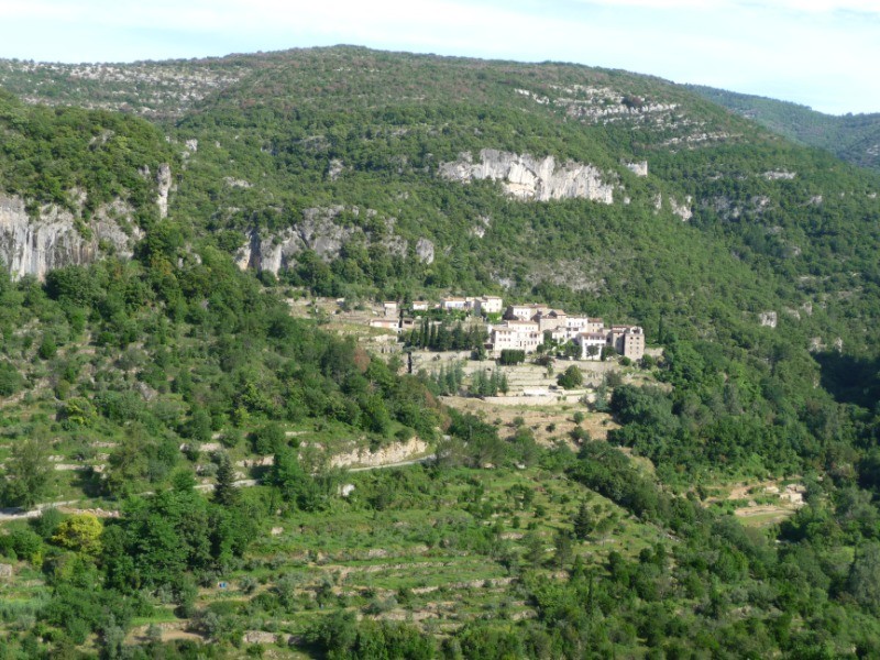
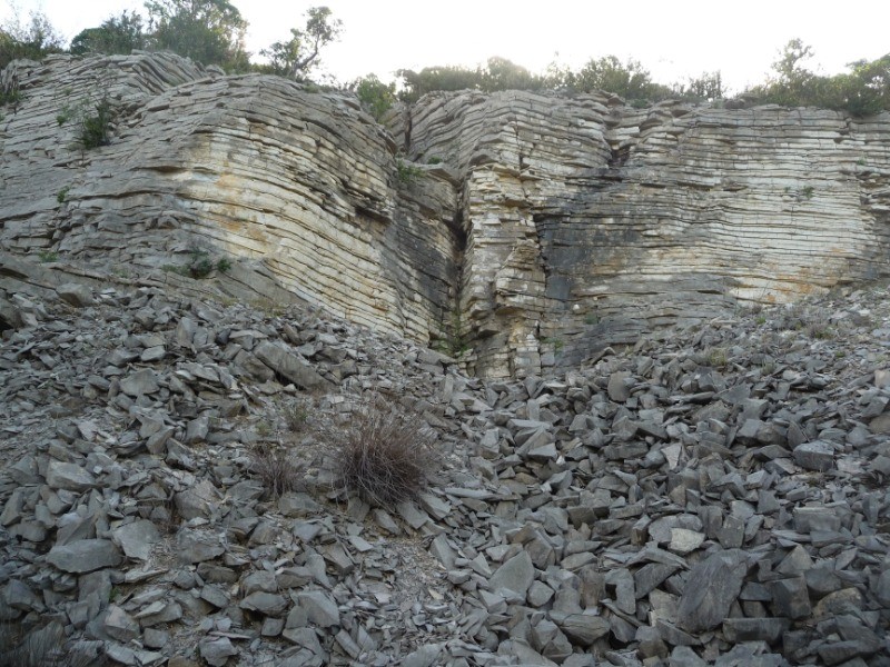
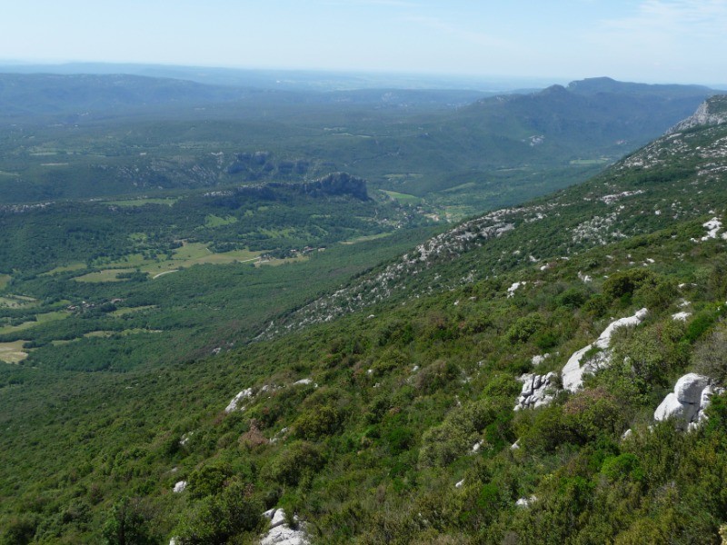
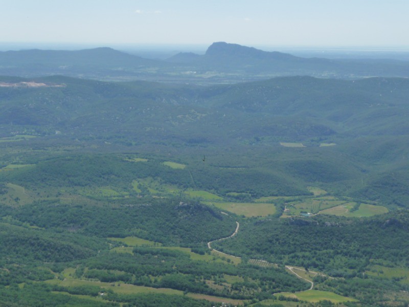
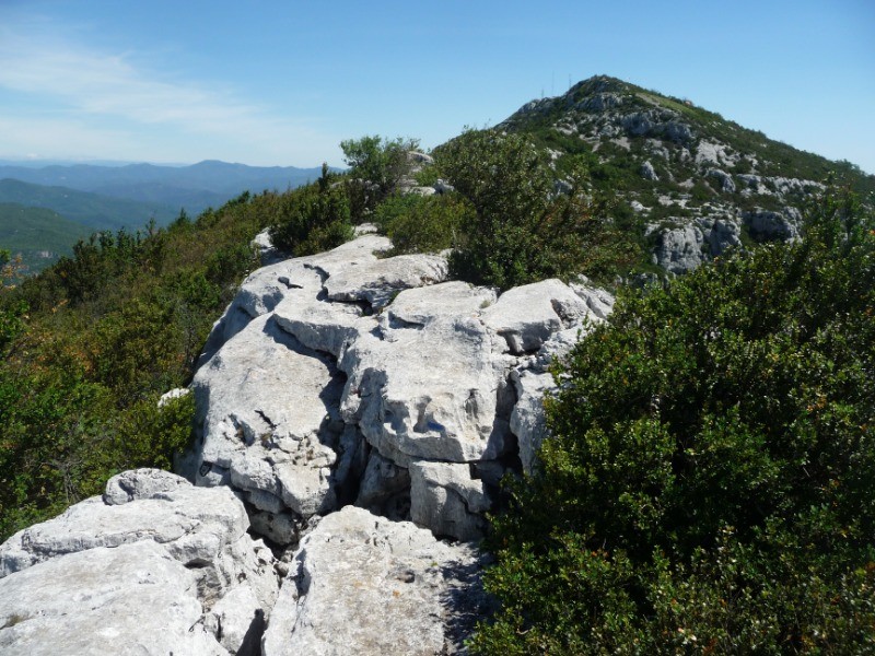
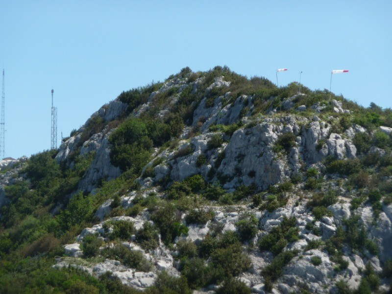
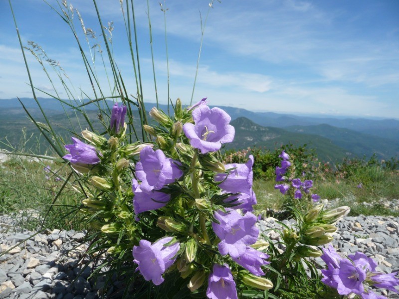
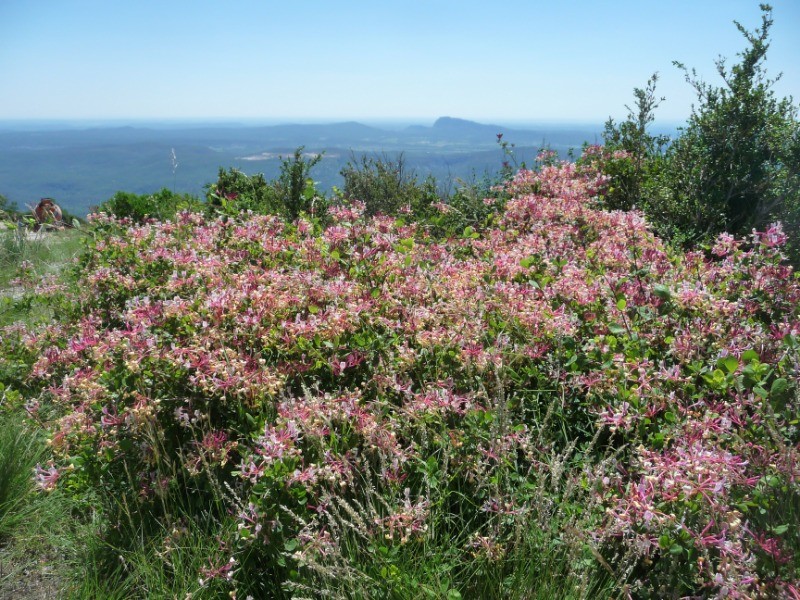
Au départ de Gorniès, une rando très minérale sur le massif de la Seranne, réservée aux bons marcheurs, avec une montée difficile du Roc Blanc à 942 m. d'altitude, d'où on peut jouir d'une vue extraordinaire à 360° du Canigou au Mont Ventoux par beau temps, et un long retour jusqu'au village de départ.
 Actions
17.9 km

+743 m
/-750 m
05:32

Cliquez pour activer


Cliquez et déplacez la souris sur le profil pour analyser un tronçon (2 doigts sur mobile)
 Photos
Commentaires
Pas encore de commentaire, connectez-vous pour en ajouter un.
Connectez-vous pour ajouter un commentaire
Longueur et nombre de points

17.88 km

2187 pts
Denivelé et altitude
Calculés avec un seuil de 10 mètres et un lissage sur 5 points

742 m

751 m

934 m

196 m

533 m
Date et durée

14 juin 2018
09:00

14 juin 2018
16:33

07:33:22

05:32:16

02:01:06
Vitesses et denivelés horaires

3.2 km/h
Détail »

6 km/h
au km 14.2

302 m/h
2h25m34s

-365 m/h
1h53m25s
| km | Temps | Vitesse | Pause |
|---|
| 1 | 33'04" | 1.8 km/h | 05'08" |
| 2 | 20'13" | 3 km/h | 12'30" |
| 3 | 23'11" | 2.6 km/h | 09'17" |
| 4 | 28'06" | 2.1 km/h | 09'36" |
| 5 | 28'02" | 2.1 km/h | |
| 6 | 30'28" | 2 km/h | 13'45" |
| 7 | 25'24" | 2.4 km/h | 47'22" |
| 8 | 15'40" | 3.8 km/h | |
| 9 | 11'50" | 5.1 km/h | |
| 10 | 20'57" | 2.9 km/h | 11'45" |
| 11 | 12'15" | 4.9 km/h | 01'43" |
| 12 | 13'03" | 4.6 km/h | |
| 13 | 11'41" | 5.1 km/h | |
| 14 | 11'34" | 5.2 km/h | 05'58" |
| 15 | 12'12" | 4.9 km/h | |
| 16 | 11'10" | 5.4 km/h | 04'02" |
| 17 | 12'48" | 4.7 km/h | |
Dépense calorique (estimation)

721 Cal
130 Cal/h
Plus

Affichée 2373 fois et téléchargée 117 fois depuis le 07.04.20 15:25
KME
27.8 kilomètres effort
Carte + Profil [Afficher un aperçu]
<iframe src="https://www.visugpx.com/hDg1kzv5Ko?iframe" allowfullscreen style="border: 0;width: 100%; height: 540px;" loading="lazy" scrolling="no"></iframe>
Carte uniquement [Afficher un aperçu]
<iframe src="https://www.visugpx.com/hDg1kzv5Ko?iframe&maponly" allowfullscreen style="border: 0;width: 100%; height: 540px;" loading="lazy" scrolling="no"></iframe>

 ForumsToposLes plus belles randosSegments
 Offre Premium
 Connexion


 80
80 162
162 107 [Légende]


