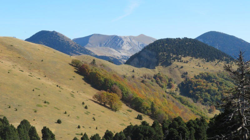
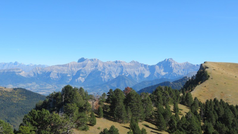
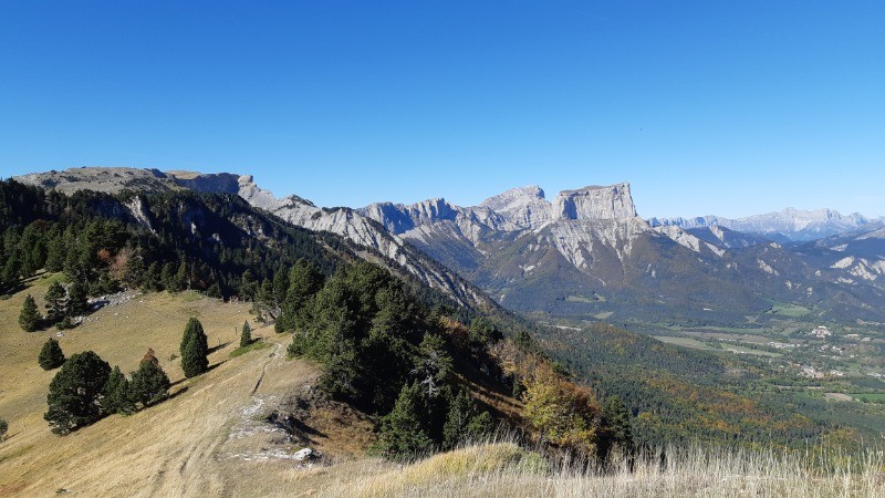
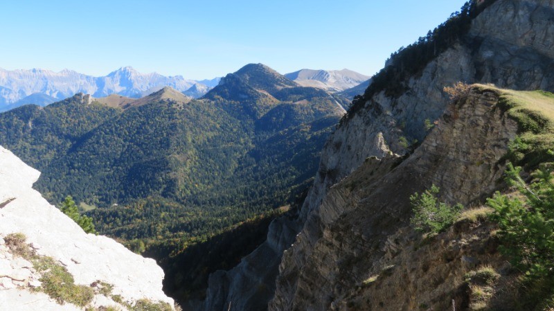
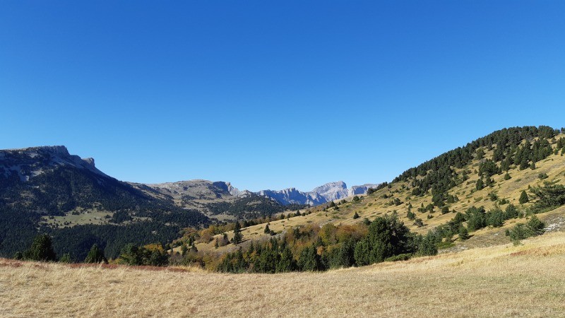
IBP 148 Itinéraire modifié, le chargement des moutons dans les camions bloquait la route de Bénevise. Du coup, grosse rando.
 Actions
17.2 km

+1430 m
/-1428 m
06:01

Cliquez pour activer


Cliquez et déplacez la souris sur le profil pour analyser un tronçon (2 doigts sur mobile)
 Photos
Commentaires
Pas encore de commentaire, connectez-vous pour en ajouter un.
Connectez-vous pour ajouter un commentaire
Longueur et nombre de points

17.17 km

1477 pts
Denivelé et altitude
Calculés avec un seuil de 10 mètres et un lissage sur 5 points

1429 m

1428 m

1962 m

1056 m

1569 m
Date et durée

11 octobre 2019
09:20

11 octobre 2019
17:22

08:01:59

06:01:34

02:00:25
Vitesses et denivelés horaires

2.8 km/h
Détail »

5.7 km/h
au km 13.5

429 m/h
3h06m51s

-595 m/h
2h13m26s
| km | Temps | Vitesse | Pause |
|---|
| 1 | 24'37" | 2.4 km/h | |
| 2 | 25'32" | 2.3 km/h | 02'50" |
| 3 | 19'22" | 3.1 km/h | 02'41" |
| 4 | 25'41" | 2.3 km/h | 08'45" |
| 5 | 31'35" | 1.9 km/h | 13'52" |
| 6 | 24'04" | 2.5 km/h | 03'20" |
| 7 | 19'56" | 3 km/h | 37'13" |
| 8 | 23'41" | 2.5 km/h | 03'29" |
| 9 | 16'52" | 3.6 km/h | 04'00" |
| 10 | 17'19" | 3.5 km/h | 08'07" |
| 11 | 18'31" | 3.2 km/h | 05'59" |
| 12 | 15'24" | 3.9 km/h | 03'24" |
| 13 | 20'05" | 3 km/h | 12'43" |
| 14 | 18'55" | 3.2 km/h | 07'49" |
| 15 | 18'55" | 3.2 km/h | 05'37" |
| 16 | 16'38" | 3.6 km/h | |
| 17 | 21'36" | 2.8 km/h | |
Dépense calorique (estimation)

1213 Cal
201 Cal/h
Plus

Affichée 907 fois et téléchargée 34 fois depuis le 11.10.19 21:45
KME
36.2 kilomètres effort
Carte + Profil [Afficher un aperçu]
<iframe src="https://www.visugpx.com/h45sf2IRJw?iframe" allowfullscreen style="border: 0;width: 100%; height: 540px;" loading="lazy" scrolling="no"></iframe>
Carte uniquement [Afficher un aperçu]
<iframe src="https://www.visugpx.com/h45sf2IRJw?iframe&maponly" allowfullscreen style="border: 0;width: 100%; height: 540px;" loading="lazy" scrolling="no"></iframe>

 ForumsToposLes plus belles randosSegments
 Offre Premium
 Connexion


 148
148 360
360 208 [Légende]


