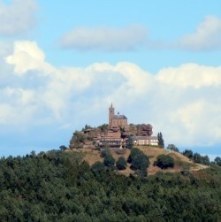
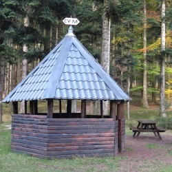
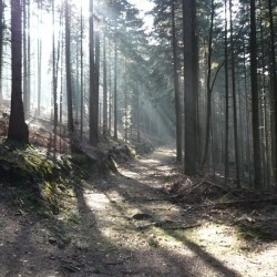
Ce petit circuit d'une heure de marche part du parking de la maison forestière d'Haberacker, il passe à côté de l'aiguille rocheuse de la Spill, il mène ensuite au sommet du Geissfels (point de vue sur Dabo) et à l'abri du Geissfelswasen. Il est balisé avec un anneau rouge.
 Actions
4 km

+142 m/-141 m

±01:15

Cliquez pour activer

Cliquez et déplacez la souris sur le profil pour analyser un tronçon (2 doigts sur mobile)
Détails
www.club-vosgien-marmoutier.org/sites-remarquables 
 Photos
Commentaires
Pas encore de commentaire, connectez-vous pour en ajouter un.
Connectez-vous pour ajouter un commentaire
Longueur et nombre de points

3.79 km

213 pts

7 marqueurs
Denivelé et altitude
Calculés avec un seuil de 5 mètres et un lissage sur 3 points

142 m

141 m

600 m

488 m

537 m
Plus

Affichée 3425 fois et téléchargée 129 fois depuis le 07.01.17 06:39
Carte + Profil [Afficher un aperçu]
<iframe src="https://www.visugpx.com/gj9FNO4SNJ?iframe" allowfullscreen style="border: 0;width: 100%; height: 540px;" scrolling="no"></iframe>
Carte uniquement [Afficher un aperçu]
<iframe src="https://www.visugpx.com/gj9FNO4SNJ?iframe&maponly" allowfullscreen style="border: 0;width: 100%; height: 540px;" scrolling="no"></iframe>


Nous avons pris en compte votre choix.
Vous souhaitez maîtriser les informations qui peuvent être recueillies lors de votre navigation et avez refusé les cookies de personnalisation des annonces, c'est légitime.
Parce que le service fourni par VisuGPX a un coût, accepteriez-vous quand même que nous utilisions des cookies pour vous présenter des annonces non personnalisées ? Ces cookies ne sont pas des cookies de tracking mais de simples des cookies techniques de diffusion qui garantissent le respect votre vie privée.


 Actions
  4 km
4 km +142 m/-141 m
 ±01:15
 Cliquez et déplacez la souris sur le profil pour analyser un tronçon (2 doigts sur mobile)


 25
25 44
44 16 [Légende]

 Pour soutenir VisuGPX, faites le bon choix