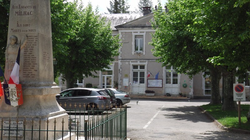
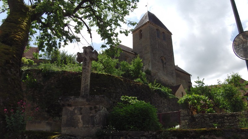
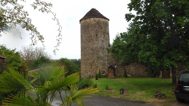
Milhac près de Gourdon dans le Lot:
- très bon balisage jaune
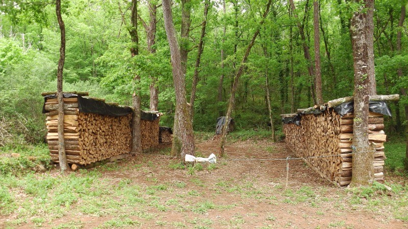
- idéale après la pluie, pas mal de goudron sur de petites routes de campagne et des chemins sablonneux exempts de boue.
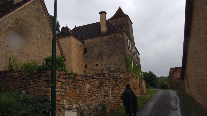
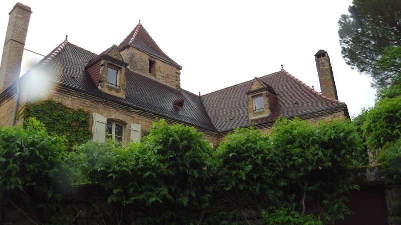
- beau petit village perché sur sa falaise
 Actions
13.7 km

+382 m
/-385 m
03:37

Cliquez pour activer


Cliquez et déplacez la souris sur le profil pour analyser un tronçon (2 doigts sur mobile)
Détails
Près de 14 km avec peu de dénivelé
 Photos
Commentaires
Pas encore de commentaire, connectez-vous pour en ajouter un.
Connectez-vous pour ajouter un commentaire
Longueur et nombre de points

13.69 km

1143 pts
Denivelé et altitude
Calculés avec un seuil de 10 mètres et un lissage sur 5 points

382 m

386 m

197 m

91 m

136 m
Date et durée

20 mai 2019
13:18

20 mai 2019
17:06

03:47:35

03:37:21

00:10:14
Vitesses et denivelés horaires

3.8 km/h
Détail »

5.1 km/h
au km 6.3

257 m/h
1h11m18s

-247 m/h
1h13m05s
| km | Temps | Vitesse | Pause |
|---|
| 1 | 16'28" | 3.6 km/h | |
| 2 | 15'27" | 3.9 km/h | 01'37" |
| 3 | 14'35" | 4.1 km/h | |
| 4 | 15'09" | 4 km/h | |
| 5 | 19'34" | 3.1 km/h | |
| 6 | 16'01" | 3.7 km/h | |
| 7 | 18'07" | 3.3 km/h | 03'04" |
| 8 | 16'19" | 3.7 km/h | |
| 9 | 15'30" | 3.9 km/h | 04'18" |
| 10 | 13'28" | 4.5 km/h | |
| 11 | 14'16" | 4.2 km/h | |
| 12 | 13'48" | 4.3 km/h | |
| 13 | 15'07" | 4 km/h | |
Dépense calorique (estimation)

460 Cal
127 Cal/h
Plus

Affichée 954 fois et téléchargée 68 fois depuis le 07.04.20 15:25
KME
18.8 kilomètres effort
Carte + Profil [Afficher un aperçu]
<iframe src="https://www.visugpx.com/g86yzhtAsG?iframe" allowfullscreen style="border: 0;width: 100%; height: 540px;" loading="lazy" scrolling="no"></iframe>
Carte uniquement [Afficher un aperçu]
<iframe src="https://www.visugpx.com/g86yzhtAsG?iframe&maponly" allowfullscreen style="border: 0;width: 100%; height: 540px;" loading="lazy" scrolling="no"></iframe>


 ForumsToposLes plus belles randosSegments
 Offre Premium
 Connexion


 41
41 65
65 18 [Légende]


