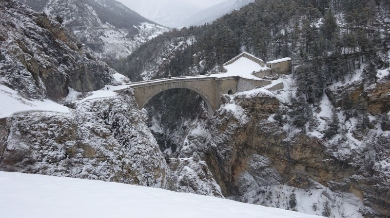
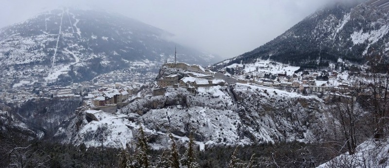
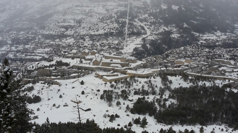
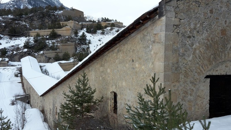
Classé au patrimoine mondial de l'Humanité par l'UNSCO, il est indéniable que l'ensemble des forts dominant Briançon attire le randonneur.
 Actions
12.9 km

+614 m
/-614 m
±05:30

Cliquez pour activer

Cliquez et déplacez la souris sur le profil pour analyser un tronçon (2 doigts sur mobile)
Détails
Cette boucle, pour grande partie en forêt et tracée par le passage, d'altitude modeste, permet soit une belle balade soit un bel itinéraire de repli en cas de mauvais temps pour les plus sportifs. Une paire de crampons forestiers pourra souvent être plus utile que les raquettes.
Le topo complet sur Altitude Rando :
www.altituderando.com/Tour-des-forts-de-Briancon Photos
Commentaires
Pas encore de commentaire, connectez-vous pour en ajouter un.
Connectez-vous pour ajouter un commentaire
Longueur et nombre de points

12.87 km

1999 pts
Denivelé et altitude
Calculés avec un seuil de 5 mètres et un lissage sur 5 points

614 m

614 m

1715 m

1233 m

1471 m
Plus

Affichée 1750 fois et téléchargée 235 fois depuis le 29.12.18 00:08
KME
21.1 kilomètres effort
Carte + Profil [Afficher un aperçu]
<iframe src="https://www.visugpx.com/fXwF7oUYIr?iframe" allowfullscreen style="border: 0;width: 100%; height: 540px;" loading="lazy" scrolling="no"></iframe>
Carte uniquement [Afficher un aperçu]
<iframe src="https://www.visugpx.com/fXwF7oUYIr?iframe&maponly" allowfullscreen style="border: 0;width: 100%; height: 540px;" loading="lazy" scrolling="no"></iframe>

 ForumsToposLes plus belles randosSegments
 Offre Premium
 Connexion


 75
75 156
156 74 [Légende]


