
Cliquez pour activer


Cliquez et déplacez la souris sur le profil pour analyser un tronçon (2 doigts sur mobile)
Détails
 Rando Club Yerrois
Date
Rando Club Yerrois
Date : Dimanche 16 décembre 2018
Animateurs : Jean Luc
Groupe : 18-22 km
Effectif : 15aine
Relive :
www.youtube.com/watch?time_continue=6&v=ExoqapSe0EY
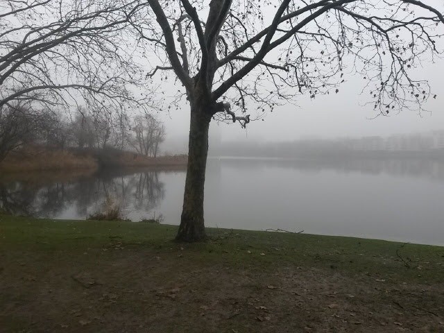
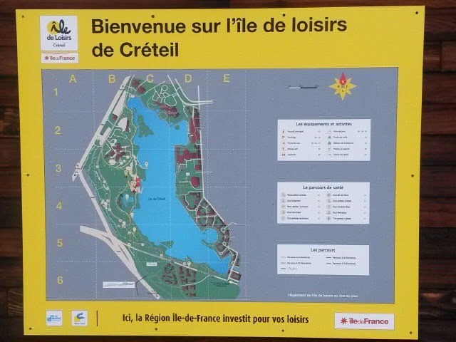
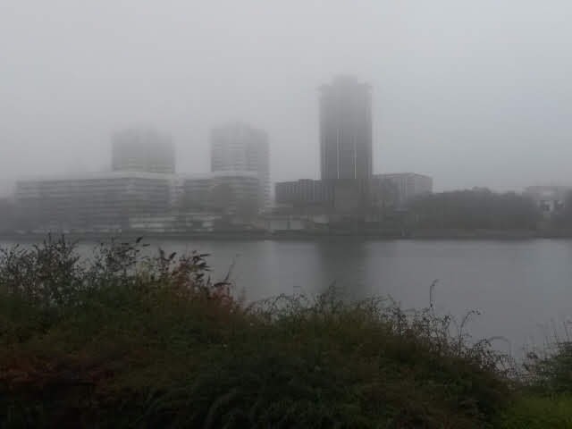
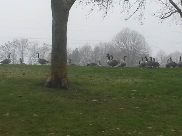
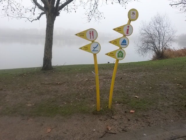
Remarque particulière :Rando sans difficulté particulière et très urbaine. L'eau très présente, via les étangs de Créteil ou les bords de Seine
Avertissement Toutes les randonnées répertoriées dans la randothèque du
Rando
Club
Yerrois ont été tracées par l'un de nos animateurs, puis reconnues et enfin effectuées avec un groupe. Pour votre sécurité, regardez toujours la date à laquelle la sortie a été effectuée - Nous tachons de mentionner des conditions météos particulières ou les difficultés éventuelles. N'oubliez jamais les consignes élémentaires de sécurité.
 Photos
Commentaires
Pas encore de commentaire, connectez-vous pour en ajouter un.
Connectez-vous pour ajouter un commentaire
Longueur et nombre de points

20.41 km

3950 pts
Denivelé et altitude
Calculés avec un seuil de 10 mètres et un lissage sur 5 points

19 m

16 m

42 m

20 m

34 m
Date et durée

16 décembre 2018
10:13

16 décembre 2018
15:48

05:34:32

04:35:00

00:59:32
Vitesses et denivelés horaires

4.5 km/h
Détail »

7.7 km/h
au km 16.3

162 m/h
0h06m08s

-158 m/h
0h02m40s
| km | Temps | Vitesse | Pause |
|---|
| 1 | 14'23" | 4.2 km/h | |
| 2 | 13'34" | 4.4 km/h | |
| 3 | 11'54" | 5 km/h | |
| 4 | 11'55" | 5 km/h | 04'00" |
| 5 | 13'28" | 4.5 km/h | 01'44" |
| 6 | 13'33" | 4.4 km/h | 09'52" |
| 7 | 12'50" | 4.7 km/h | |
| 8 | 13'26" | 4.5 km/h | |
| 9 | 12'30" | 4.8 km/h | |
| 10 | 11'56" | 5 km/h | |
| 11 | 13'26" | 4.5 km/h | |
| 12 | 13'48" | 4.3 km/h | |
| 13 | 13'22" | 4.5 km/h | |
| 14 | 13'25" | 4.5 km/h | 43'56" |
| 15 | 15'31" | 3.9 km/h | |
| 16 | 14'12" | 4.2 km/h | |
| 17 | 12'17" | 4.9 km/h | |
| 18 | 16'00" | 3.8 km/h | |
| 19 | 14'04" | 4.3 km/h | |
| 20 | 13'41" | 4.4 km/h | |
Dépense calorique (estimation)

358 Cal
78 Cal/h
Plus

Affichée 750 fois et téléchargée 50 fois depuis le 07.04.20 15:25
KME
20.7 kilomètres effort
Carte + Profil [Afficher un aperçu]
<iframe src="https://www.visugpx.com/fDOPfzwufL?iframe" allowfullscreen style="border: 0;width: 100%; height: 540px;" loading="lazy" scrolling="no"></iframe>
Carte uniquement [Afficher un aperçu]
<iframe src="https://www.visugpx.com/fDOPfzwufL?iframe&maponly" allowfullscreen style="border: 0;width: 100%; height: 540px;" loading="lazy" scrolling="no"></iframe>


 ForumsToposLes plus belles randosSegments
 Offre Premium
 Connexion


 49
49 63
63 13 [Légende]


 20.4 km
 +19 m
+19 m 04:35
04:35