La vidéo est là : https://youtu.be/ye_OW-7Qmm4
 Actions
11.1 km

+1039 m
/-1041 m
03:13

Cliquez pour activer


Cliquez et déplacez la souris sur le profil pour analyser un tronçon (2 doigts sur mobile)
Détails
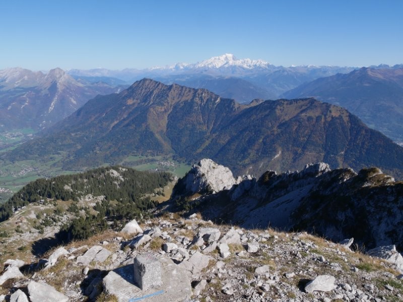
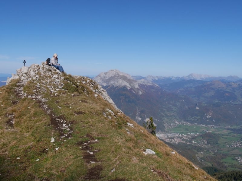
Rando en boucle.
Départ : Seythenex (parking station Seythenex) 1144m
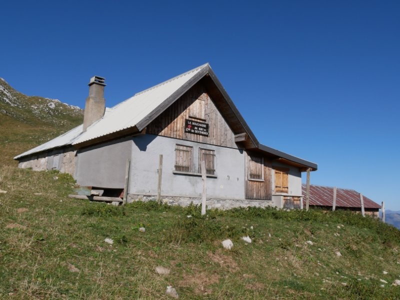
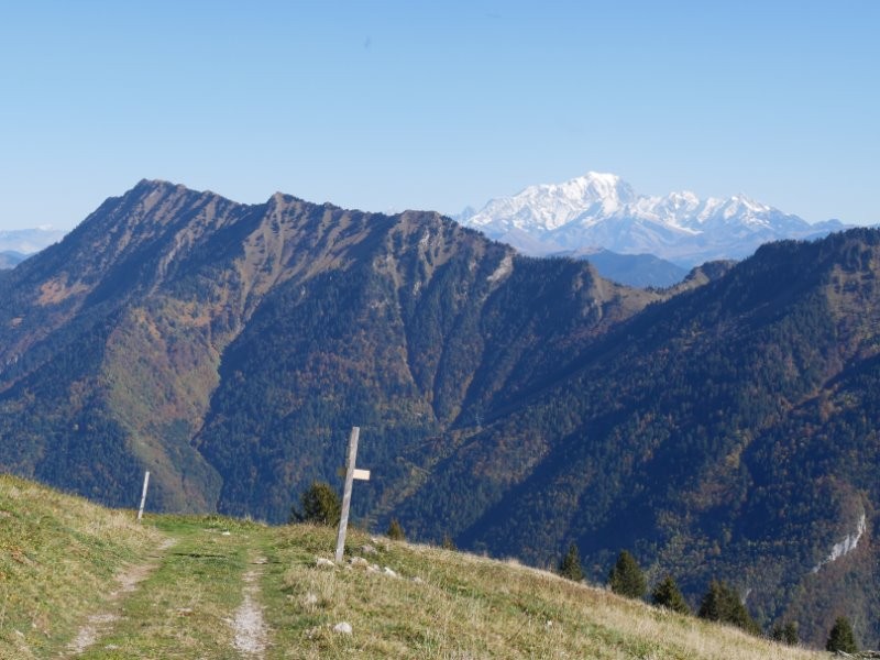
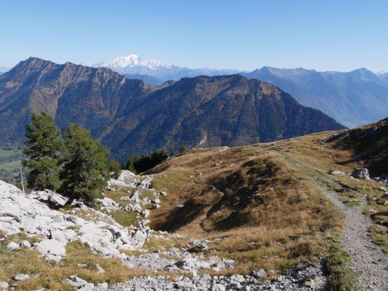
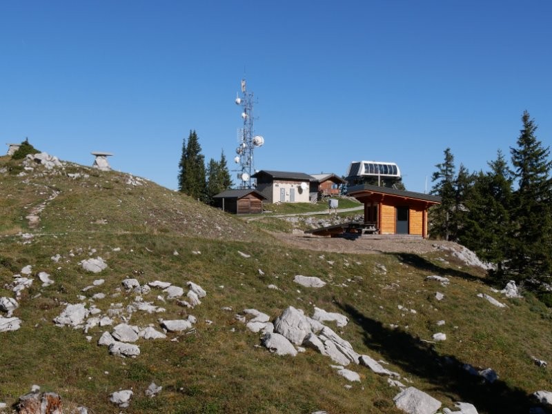
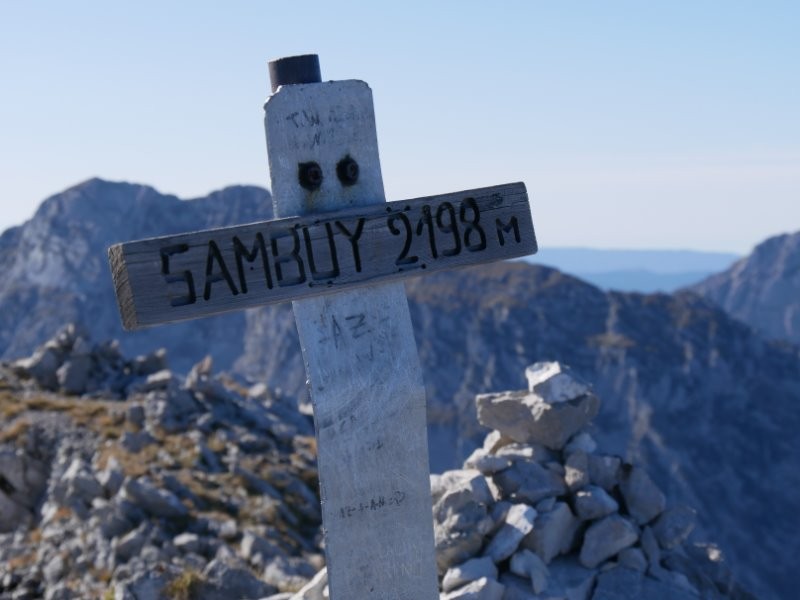
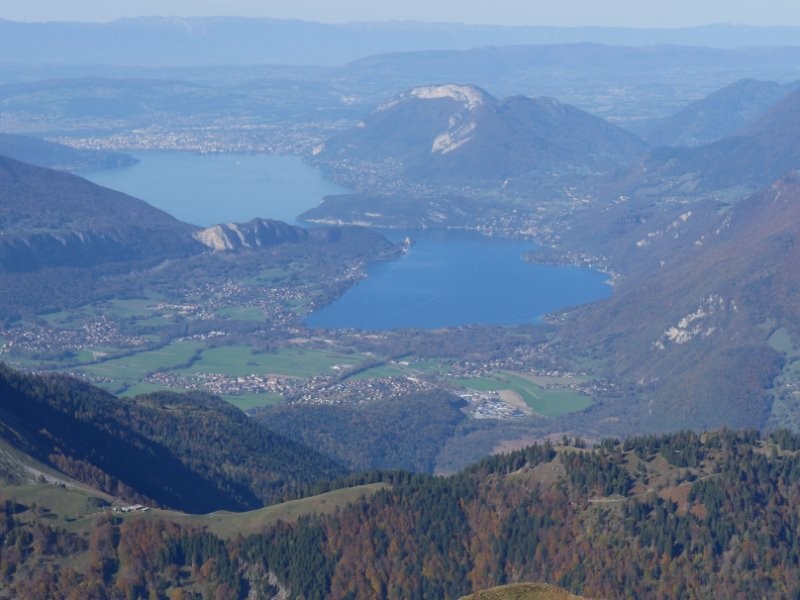
Montée : Par le Pas de l'Ours (1250m) court passage équipé, chalet de la Bouchasse (1700m), sommet de la station de ski et enfin le sommet.
Descente : identique jusqu'au sommet de la station, puis directissime sur les pistes de ski.
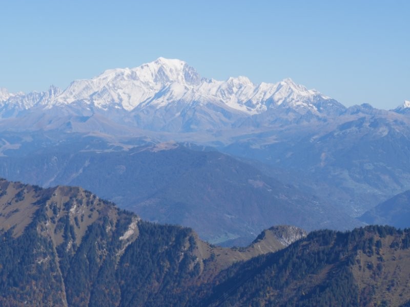
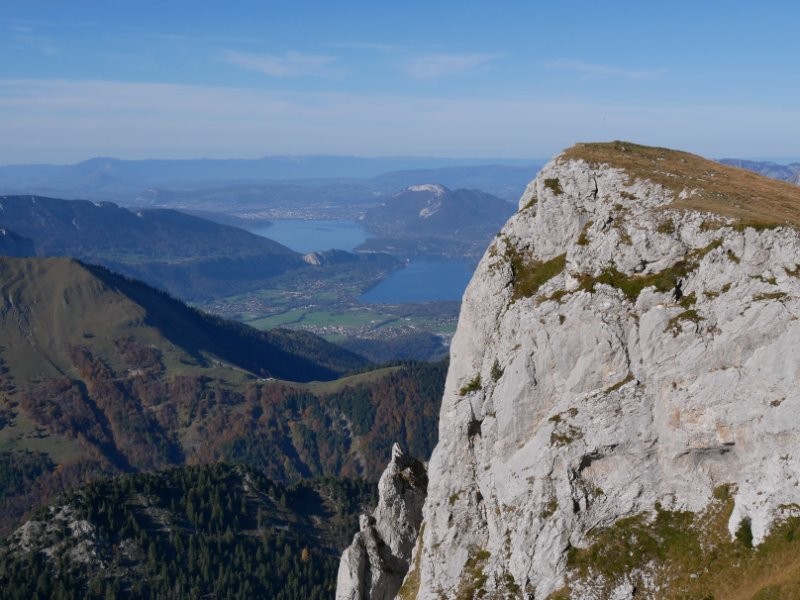
 Photos
Commentaires
Pas encore de commentaire, connectez-vous pour en ajouter un.
Connectez-vous pour ajouter un commentaire
Longueur et nombre de points

11.14 km

3194 pts
Denivelé et altitude
Calculés avec un seuil de 10 mètres et un lissage sur 5 points

1039 m

1041 m

2105 m

1150 m

1585 m
Date et durée

26 octobre 2019
11:49

26 octobre 2019
16:09

04:20:12

03:13:30

01:06:42
Vitesses et denivelés horaires

3.5 km/h
Détail »

5.9 km/h
au km 1.4

577 m/h
1h44m48s

-808 m/h
1h13m12s
| km | Temps | Vitesse | Pause |
|---|
| 1 | 13'27" | 4.5 km/h | |
| 2 | 11'17" | 5.3 km/h | |
| 3 | 15'14" | 3.9 km/h | |
| 4 | 17'37" | 3.4 km/h | |
| 5 | 19'21" | 3.1 km/h | 11'14" |
| 6 | 16'55" | 3.5 km/h | |
| 7 | 21'36" | 2.8 km/h | |
| 8 | 24'02" | 2.5 km/h | 55'28" |
| 9 | 16'42" | 3.6 km/h | |
| 10 | 18'46" | 3.2 km/h | |
| 11 | 16'01" | 3.7 km/h | |
Dépense calorique (estimation)

1100 Cal
341 Cal/h
Plus

Affichée 1205 fois et téléchargée 120 fois depuis le 07.04.20 15:25
Carte + Profil [Afficher un aperçu]
<iframe src="https://www.visugpx.com/f57mOPM7jS?iframe" allowfullscreen style="border: 0;width: 100%; height: 540px;" loading="lazy" scrolling="no"></iframe>
Carte uniquement [Afficher un aperçu]
<iframe src="https://www.visugpx.com/f57mOPM7jS?iframe&maponly" allowfullscreen style="border: 0;width: 100%; height: 540px;" loading="lazy" scrolling="no"></iframe>


 ForumsToposLes plus belles randosSegments
 Offre Premium
 Connexion


 114
114 278
278 108 [Légende]


