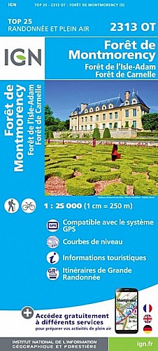
Nature et Aventure (CCRM)
 Actions
24 km

+217 m/-224 m

±06:30

Cliquez pour activer

Cliquez et déplacez la souris sur le profil pour analyser un tronçon (2 doigts sur mobile)
Détails
Date : 22 septembre 2015
Descriptif : nb, parc de Méry, Auvers sur Oise, bord d'Oise, Butry sur Oise, pont de l'Oise, le Port aux Moines, Coteaux de l'étang parc régional, carrières, la Porte Noire ... PR, bois de la Carrière ... GR1, les Hauts Buis, tunnel de la D104, les Courbes, Chauvry, carrefour des Six Chiens, les Sapins Brulés ... GRP, Frépillon, Méry sur Oise
Commentaires
Pas encore de commentaire, connectez-vous pour en ajouter un.
Connectez-vous pour ajouter un commentaire
Longueur et nombre de points

23.66 km

248 pts
Denivelé et altitude
Calculés avec un seuil de 10 mètres et un lissage sur 3 points (corrigé car densité de points faible)

216 m

224 m

189 m

22 m

95 m
Plus

Affichée 1014 fois et téléchargée 34 fois depuis le 18.04.15 13:23
 Impossible de récupérer l'indice IBP de cette trace
Carte + Profil [Afficher un aperçu]
<iframe src="https://www.visugpx.com/ejcWAv4fTO?iframe" allowfullscreen style="border: 0;width: 100%; height: 540px;" scrolling="no"></iframe>
Carte uniquement [Afficher un aperçu]
<iframe src="https://www.visugpx.com/ejcWAv4fTO?iframe&maponly" allowfullscreen style="border: 0;width: 100%; height: 540px;" scrolling="no"></iframe>

Nous avons pris en compte votre choix.
Vous souhaitez maîtriser les informations qui peuvent être recueillies lors de votre navigation et avez refusé les cookies de personnalisation des annonces, c'est légitime.
Parce que le service fourni par VisuGPX a un coût, accepteriez-vous quand même que nous utilisions des cookies pour vous présenter des annonces non personnalisées ? Ces cookies ne sont pas des cookies de tracking mais de simples des cookies techniques de diffusion qui garantissent le respect votre vie privée.


 Cliquez et déplacez la souris sur le profil pour analyser un tronçon (2 doigts sur mobile)
 Pour soutenir VisuGPX, faites le bon choix