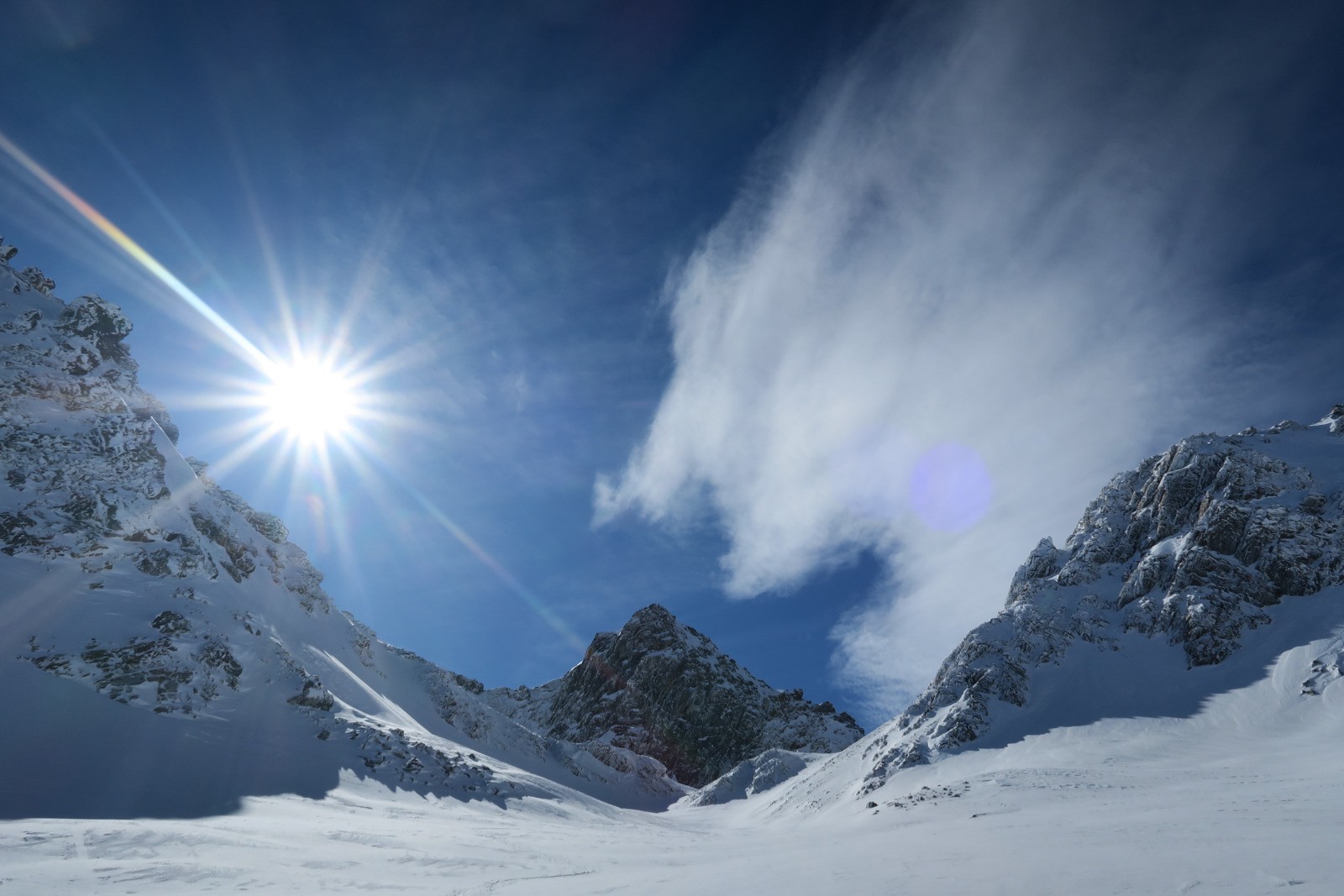
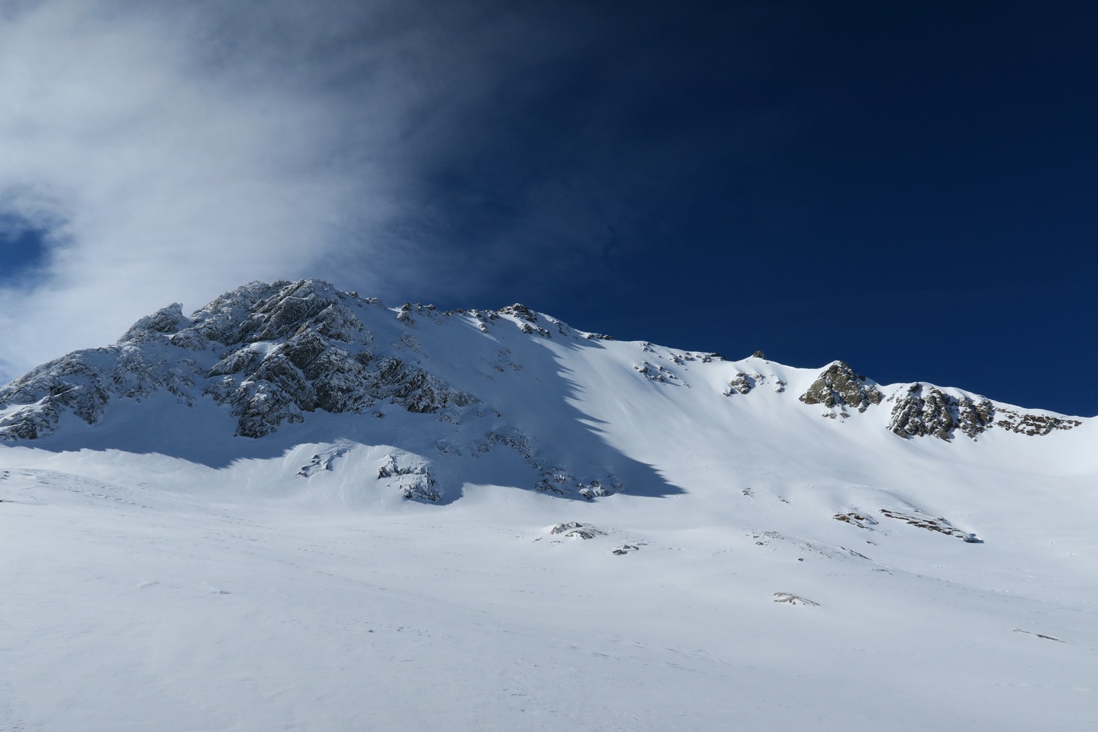
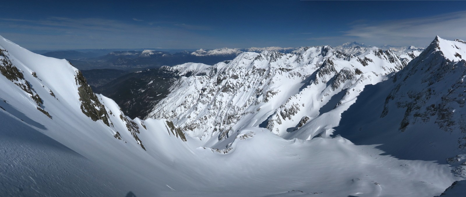
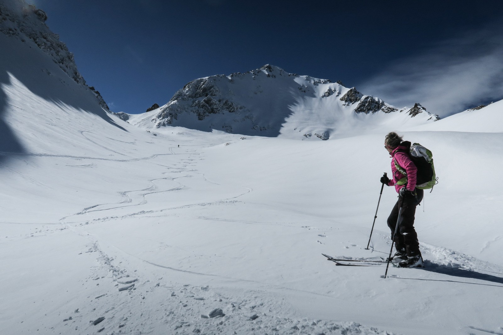
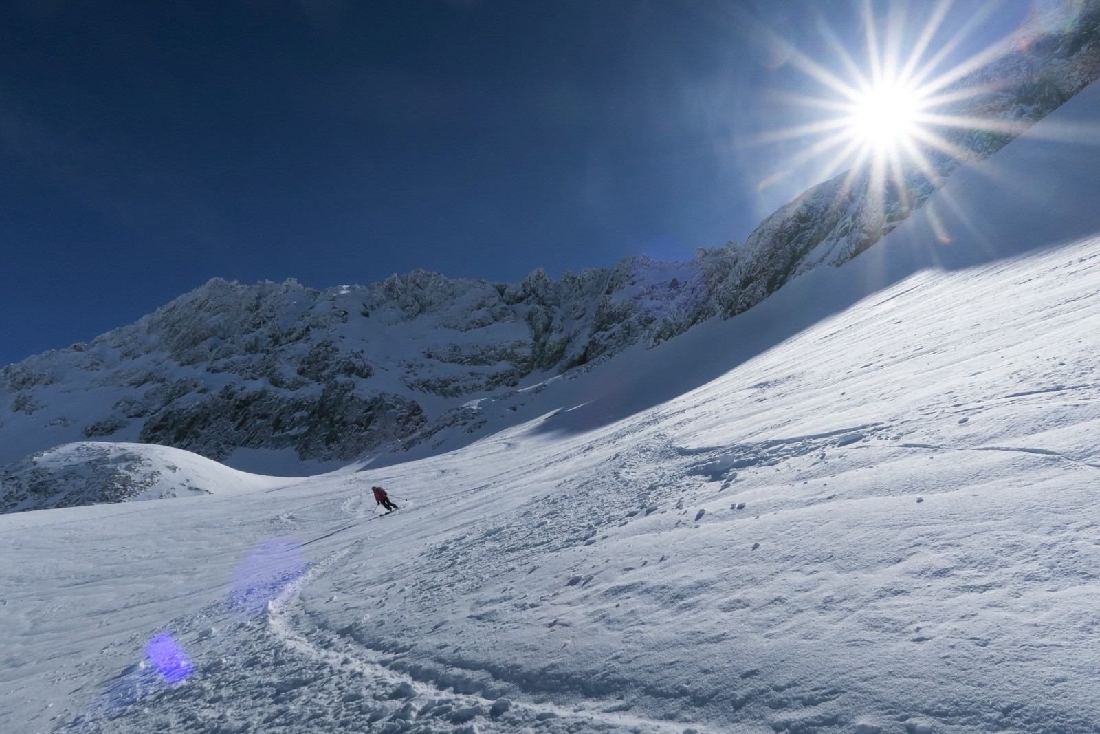
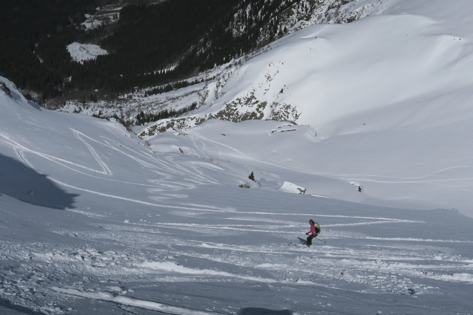
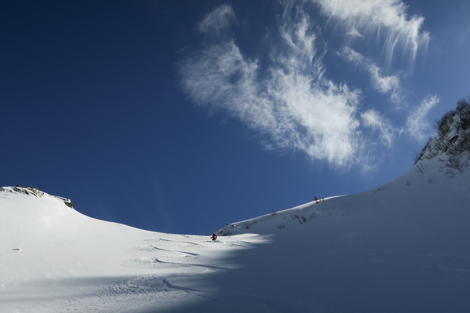
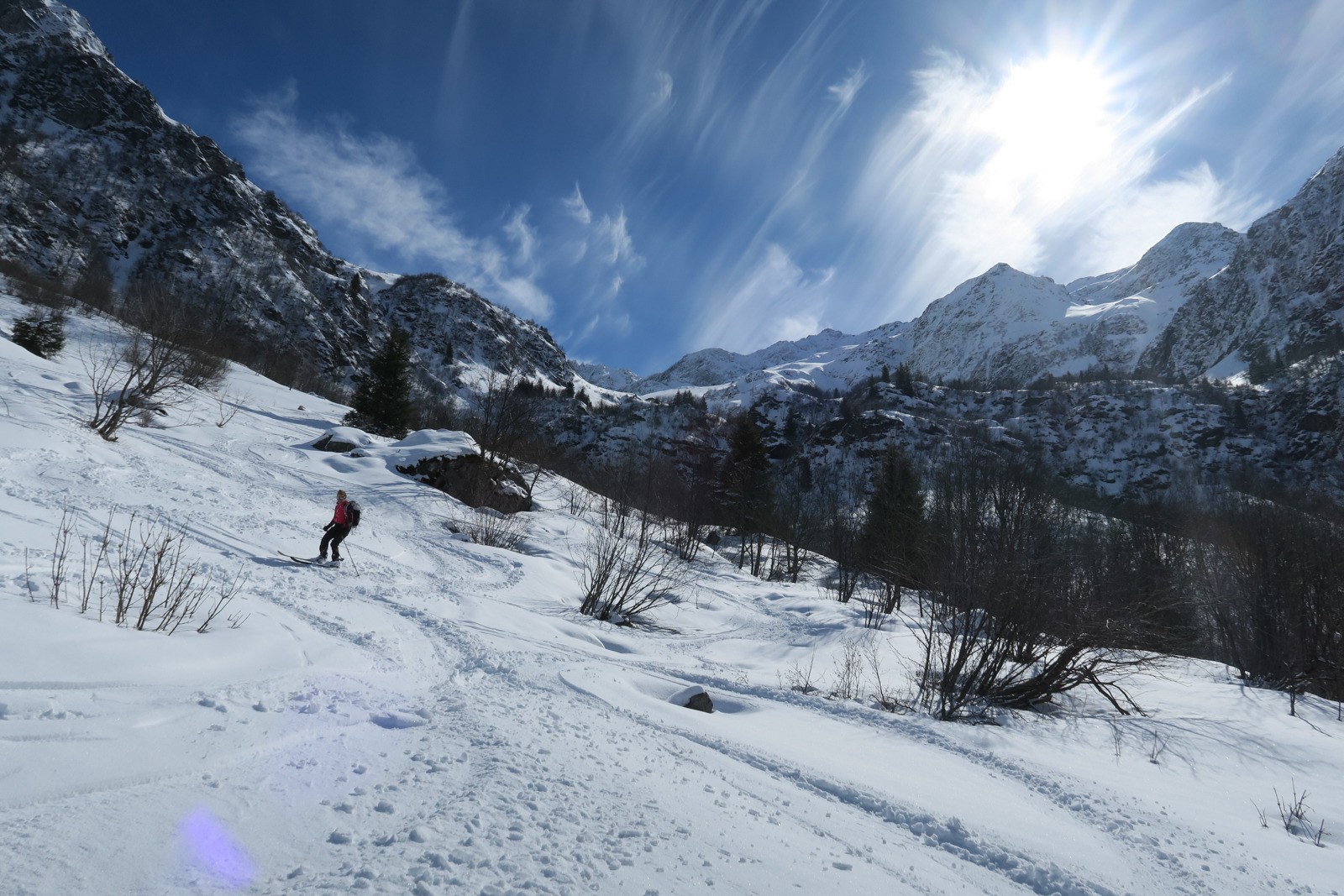
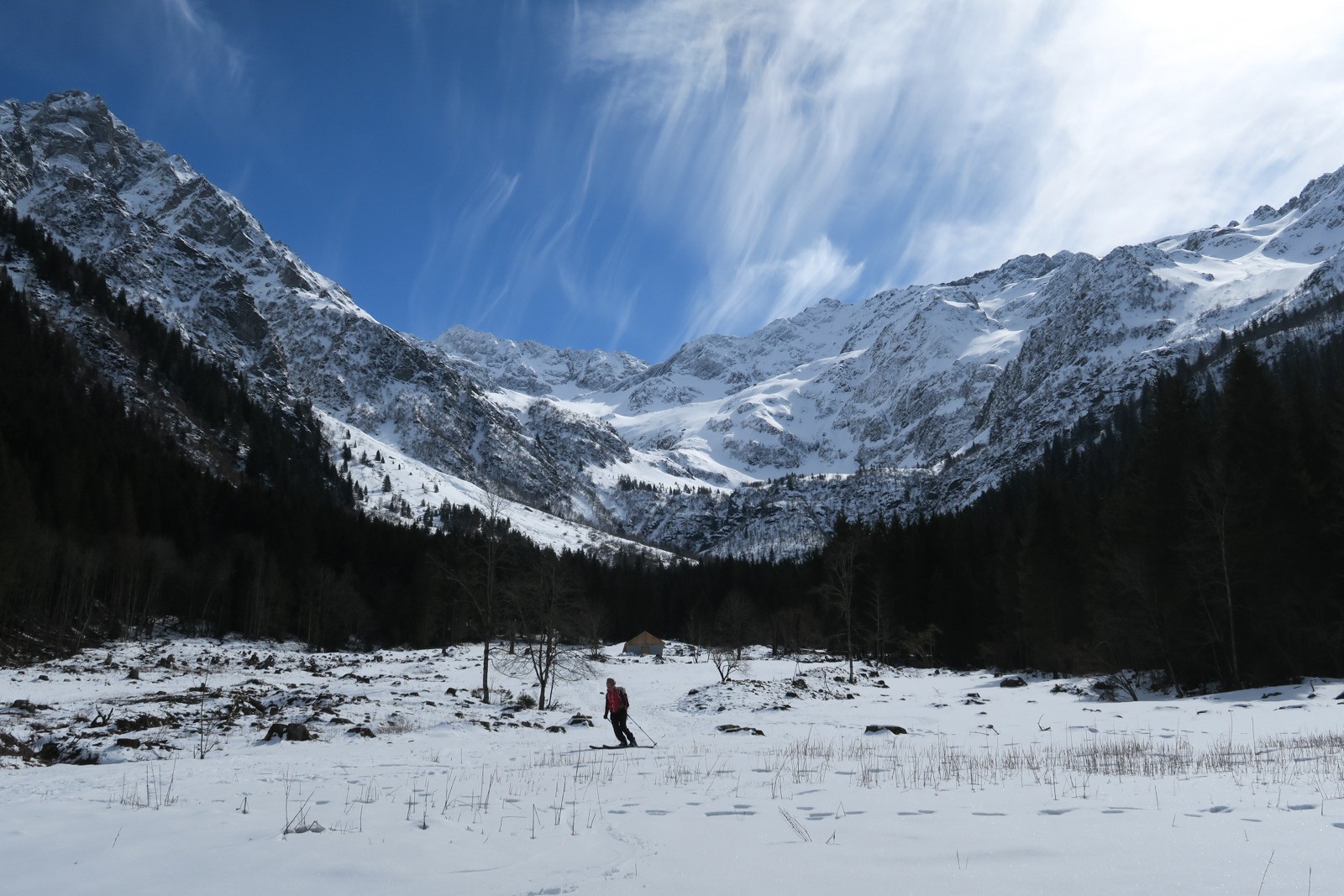
Partis sans intention précise, si ce n'est de ménager la bronchite, on se retrouve à remonter la pente de Comberousse. Malheureusement le temps tourne, une mauvaise estimation de ce qu'il reste à faire, une trace difficile à ski, nous fait renoncer à 50 m du sommet. Conditions top, modulo le fond dur présent sous 2200m endroit magique
 Actions
13.4 km

+1713 m
/-1681 m
04:12

Cliquez pour activer


Cliquez et déplacez la souris sur le profil pour analyser un tronçon (2 doigts sur mobile)
 Photos
Commentaires
Pas encore de commentaire, connectez-vous pour en ajouter un.
Connectez-vous pour ajouter un commentaire
Longueur et nombre de points

13.39 km

578 pts

3 marqueurs
Denivelé et altitude
Calculés avec un seuil de 10 mètres et un lissage sur 5 points

1712 m

1682 m

2774 m

1061 m

1794 m
Date et durée

08 mars 2020
07:43

08 mars 2020
12:54

05:11:26

04:12:47

00:58:39
Vitesses et denivelés horaires

3.2 km/h
Détail »

30.1 km/h
au km 7.8

504 m/h
3h20m59s

-2081 m/h
0h47m29s
| km | Temps | Vitesse | Pause |
|---|
| 1 | 15'00" | 4 km/h | |
| 2 | 23'21" | 2.6 km/h | |
| 3 | 34'17" | 1.7 km/h | |
| 4 | 24'15" | 2.5 km/h | 05'12" |
| 5 | 34'32" | 1.7 km/h | 02'44" |
| 6 | 29'05" | 2.1 km/h | |
| 7 | 31'00" | 1.9 km/h | 10'21" |
| 8 | 17'04" | 3.5 km/h | 31'43" |
| 9 | 06'22" | 9.4 km/h | |
| 10 | 10'46" | 5.6 km/h | |
| 11 | 06'36" | 9.1 km/h | 03'33" |
| 12 | 08'45" | 6.9 km/h | |
| 13 | 07'04" | 8.5 km/h | 05'06" |
Dépense calorique (estimation)

1213 Cal
288 Cal/h
Plus

Affichée 319 fois et téléchargée 35 fois depuis le 07.04.20 15:25
Carte + Profil [Afficher un aperçu]
<iframe src="https://www.visugpx.com/eJiQWom02d?iframe" allowfullscreen style="border: 0;width: 100%; height: 540px;" loading="lazy" scrolling="no"></iframe>
Carte uniquement [Afficher un aperçu]
<iframe src="https://www.visugpx.com/eJiQWom02d?iframe&maponly" allowfullscreen style="border: 0;width: 100%; height: 540px;" loading="lazy" scrolling="no"></iframe>

 ForumsToposLes plus belles randosSegments
 Offre Premium
 Connexion


 183
183 495
495 194 [Légende]


