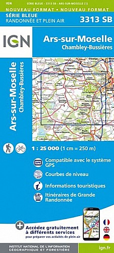
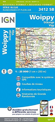
Du square de JUSSY, descendre vers les vieilles eaux, aller vers SCY via l'ancienne gare de MOULINS, prendre la direction de LESSY par les vignes, prendre la direction du col, la 2ème à gauche (attention sentier également utilisé par les "vététistes").prendre la direction du plateau et entre LESSY et CHÂTEL, profitez du superbe point de vue. Passage dans le village, retour par l'ancienne voie ferrée et la côte de la haie brulée.
 Actions
16 km

+596 m/-689 m

03:00

Cliquez pour activer


Cliquez et déplacez la souris sur le profil pour analyser un tronçon (2 doigts sur mobile)
Commentaires
Pas encore de commentaire, connectez-vous pour en ajouter un.
Connectez-vous pour ajouter un commentaire
Longueur et nombre de points

15.52 km

929 pts
Denivelé et altitude
Calculés avec un seuil de 5 mètres et un lissage sur 3 points

595 m

690 m

371 m

166 m

264 m
Date et durée

29 septembre 2018
14:28

29 septembre 2018
17:32

03:04:25

02:58:29

00:05:56
Vitesses et denivelés horaires

5.2 km/h
Détail »

9 km/h
au km 0.4

396 m/h
0h56m36s

-487 m/h
0h53m16s
| km | Temps | Vitesse | Pause |
|---|
| 1 | 07'10" | 8.4 km/h | |
| 2 | 10'08" | 5.9 km/h | |
| 3 | 09'24" | 6.4 km/h | |
| 4 | 10'25" | 5.8 km/h | |
| 5 | 10'44" | 5.6 km/h | |
| 6 | 12'06" | 5 km/h | |
| 7 | 11'03" | 5.4 km/h | |
| 8 | 11'20" | 5.3 km/h | |
| 9 | 14'08" | 4.2 km/h | |
| 10 | 11'42" | 5.1 km/h | |
| 11 | 12'20" | 4.9 km/h | |
| 12 | 13'54" | 4.3 km/h | 05'56" |
| 13 | 12'18" | 4.9 km/h | |
| 14 | 15'15" | 3.9 km/h | |
| 15 | 10'38" | 5.6 km/h | |
Dépense calorique (estimation)

585 Cal
197 Cal/h
Plus

Affichée 633 fois et téléchargée 19 fois depuis le 07.04.20 15:25
Carte + Profil [Afficher un aperçu]
<iframe src="https://www.visugpx.com/dLpx8SLRgU?iframe" allowfullscreen style="border: 0;width: 100%; height: 540px;" scrolling="no"></iframe>
Carte uniquement [Afficher un aperçu]
<iframe src="https://www.visugpx.com/dLpx8SLRgU?iframe&maponly" allowfullscreen style="border: 0;width: 100%; height: 540px;" scrolling="no"></iframe>


Nous avons pris en compte votre choix.
Vous souhaitez maîtriser les informations qui peuvent être recueillies lors de votre navigation et avez refusé les cookies de personnalisation des annonces, c'est légitime.
Parce que le service fourni par VisuGPX a un coût, accepteriez-vous quand même que nous utilisions des cookies pour vous présenter des annonces non personnalisées ? Ces cookies ne sont pas des cookies de tracking mais de simples des cookies techniques de diffusion qui garantissent le respect votre vie privée.


 Actions
  16 km
16 km +596 m/-689 m
 03:00
03:00

 Cliquez et déplacez la souris sur le profil pour analyser un tronçon (2 doigts sur mobile)
 50
50 83
83 24 [Légende]


 Pour soutenir VisuGPX, faites le bon choix