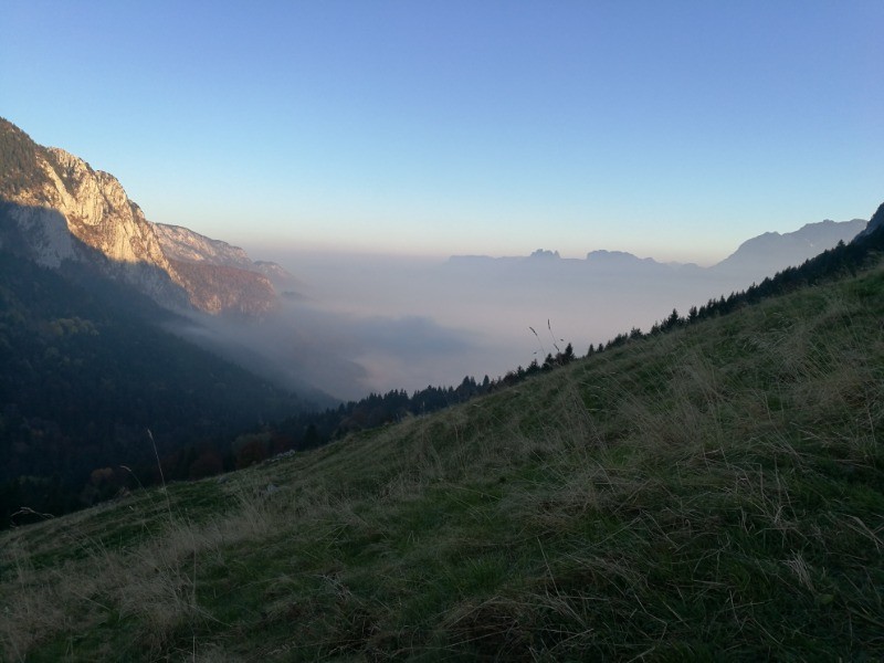
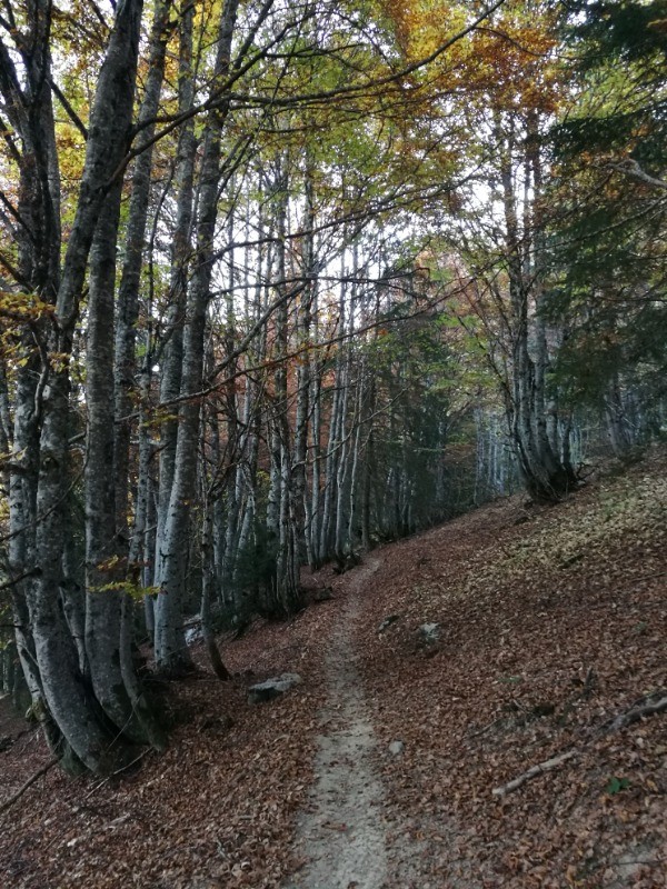
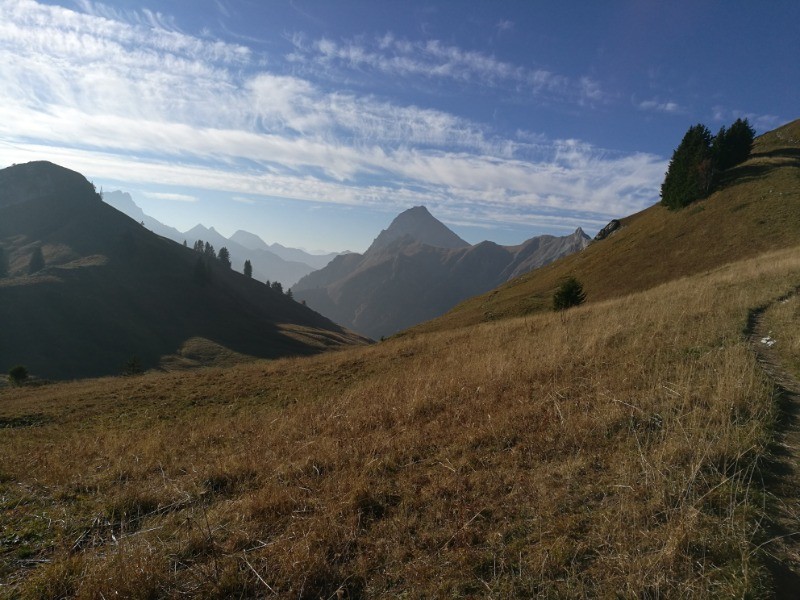
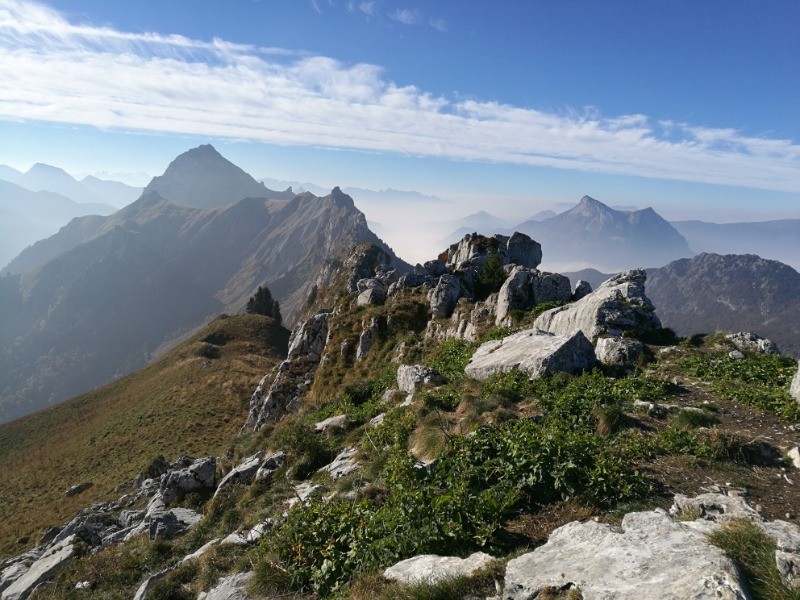
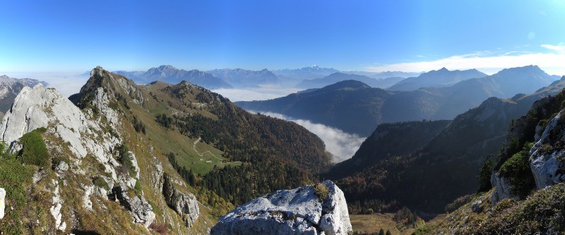
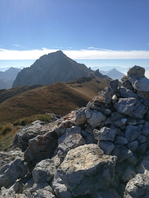
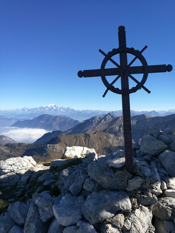
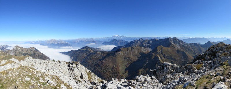
Très beau parcours dans les Bauges, au départ du reposoir : Montée au refuge de la combe puis à la pointe du Banc plat, suivi d'une très belle arête un peu aérienne pour rejoindre la dent des portes (balisage ronds jaunes).
En option, un aller-retour au Trélod est possible pour ceux qui veulent faire un peu plus de dénivelé.
 Actions
18.6 km

+1342 m
/-1342 m
05:56

Cliquez pour activer


Cliquez et déplacez la souris sur le profil pour analyser un tronçon (2 doigts sur mobile)
 Photos
Commentaires
Pas encore de commentaire, connectez-vous pour en ajouter un.
Connectez-vous pour ajouter un commentaire
Longueur et nombre de points

18.56 km

879 pts
Denivelé et altitude
Calculés avec un seuil de 10 mètres et un lissage sur 5 points

1341 m

1343 m

2181 m

1188 m

1663 m
Date et durée

20 octobre 2018
08:15

20 octobre 2018
15:16

07:00:56

05:56:34

01:04:22
Vitesses et denivelés horaires

3.1 km/h
Détail »

5.3 km/h
au km 9.5

384 m/h
3h20m48s

-614 m/h
2h06m20s
| km | Temps | Vitesse | Pause |
|---|
| 1 | 14'36" | 4.1 km/h | |
| 2 | 16'53" | 3.6 km/h | 04'00" |
| 3 | 15'54" | 3.8 km/h | |
| 4 | 23'13" | 2.6 km/h | 10'42" |
| 5 | 14'02" | 4.3 km/h | 03'21" |
| 6 | 18'11" | 3.3 km/h | |
| 7 | 28'41" | 2.1 km/h | 07'35" |
| 8 | 28'37" | 2.1 km/h | |
| 9 | 32'32" | 1.8 km/h | 19'28" |
| 10 | 13'04" | 4.6 km/h | |
| 11 | 19'20" | 3.1 km/h | |
| 12 | 30'16" | 2 km/h | |
| 13 | 16'36" | 3.6 km/h | 19'16" |
| 14 | 14'16" | 4.2 km/h | |
| 15 | 17'36" | 3.4 km/h | |
| 16 | 16'42" | 3.6 km/h | |
| 17 | 15'43" | 3.8 km/h | |
| 18 | 13'02" | 4.6 km/h | |
Dépense calorique (estimation)

1226 Cal
206 Cal/h
Plus

Affichée 2846 fois et téléchargée 198 fois depuis le 07.04.20 15:25
KME
36.4 kilomètres effort
Carte + Profil [Afficher un aperçu]
<iframe src="https://www.visugpx.com/dG1kov4H1E?iframe" allowfullscreen style="border: 0;width: 100%; height: 540px;" loading="lazy" scrolling="no"></iframe>
Carte uniquement [Afficher un aperçu]
<iframe src="https://www.visugpx.com/dG1kov4H1E?iframe&maponly" allowfullscreen style="border: 0;width: 100%; height: 540px;" loading="lazy" scrolling="no"></iframe>


 ForumsToposLes plus belles randosSegments
 Offre Premium
 Connexion


 145
145 339
339 184 [Légende]


