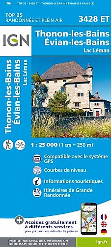
Superbe balade depuis le col des Moises, un large chemin pour démarrer après 1,6 km prendre à droite le petit sentier indiqué "Mont Forchat" , longue montée sans trop de difficultés, laisser à gauche les châlets de Très le Mont et continuer vers le Mont Forchat. Jolie Chapelle, vue Magnifique. Les premiers mètres de descente vers le col de l'Encrenaz sont plus difficiles. Bonne Promenade!
 Actions
8 km

+416 m/-394 m

±03:15

Cliquez pour activer

Cliquez et déplacez la souris sur le profil pour analyser un tronçon (2 doigts sur mobile)
 Photos
Commentaires
Pas encore de commentaire, connectez-vous pour en ajouter un.
Connectez-vous pour ajouter un commentaire
Longueur et nombre de points

7.6 km

307 pts
Denivelé et altitude
Calculés avec un seuil de 30 mètres et un lissage sur 7 points (corrigé car densité de points faible)

416 m

394 m

1512 m

1126 m

1302 m
Plus

Affichée 357 fois et téléchargée 29 fois depuis le 11.01.21 10:33
Carte + Profil [Afficher un aperçu]
<iframe src="https://www.visugpx.com/arlUo4Mpay?iframe" allowfullscreen style="border: 0;width: 100%; height: 540px;" scrolling="no"></iframe>
Carte uniquement [Afficher un aperçu]
<iframe src="https://www.visugpx.com/arlUo4Mpay?iframe&maponly" allowfullscreen style="border: 0;width: 100%; height: 540px;" scrolling="no"></iframe>

Nous avons pris en compte votre choix.
Vous souhaitez maîtriser les informations qui peuvent être recueillies lors de votre navigation et avez refusé les cookies de personnalisation des annonces, c'est légitime.
Parce que le service fourni par VisuGPX a un coût, accepteriez-vous quand même que nous utilisions des cookies pour vous présenter des annonces non personnalisées ? Ces cookies ne sont pas des cookies de tracking mais de simples des cookies techniques de diffusion qui garantissent le respect votre vie privée.


 Actions
  8 km
8 km +416 m/-394 m
 ±03:15
 Cliquez et déplacez la souris sur le profil pour analyser un tronçon (2 doigts sur mobile)


 55
55 117
117 57 [Légende]
 Pour soutenir VisuGPX, faites le bon choix