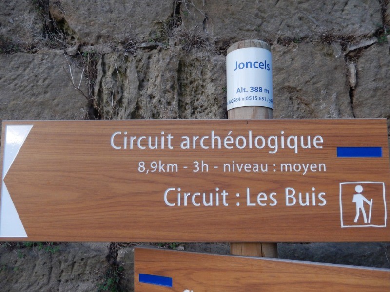
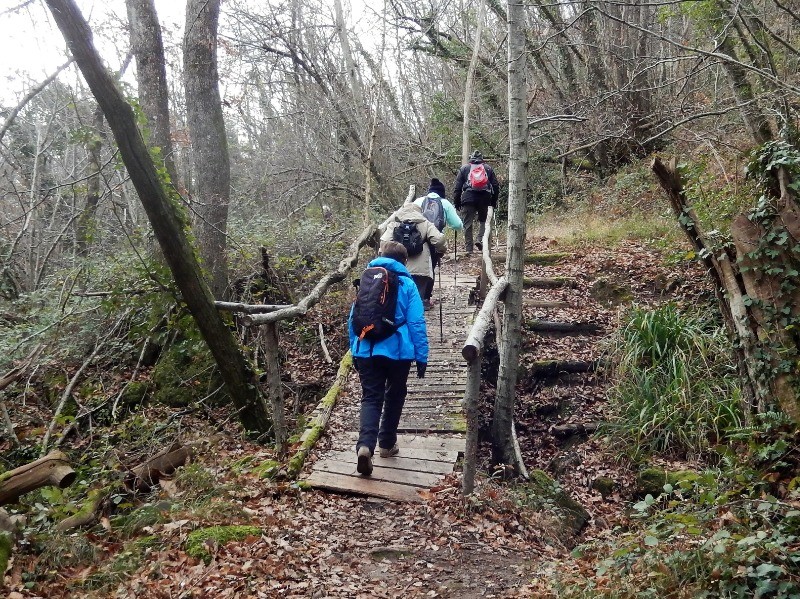
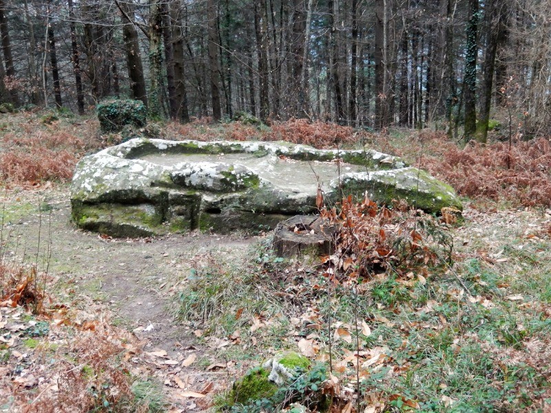
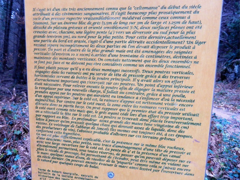
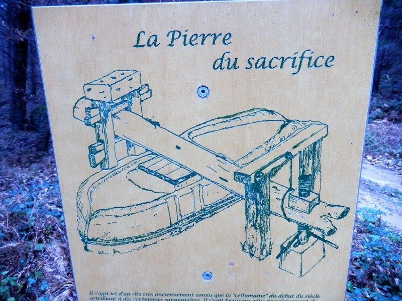
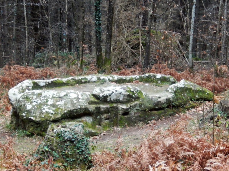
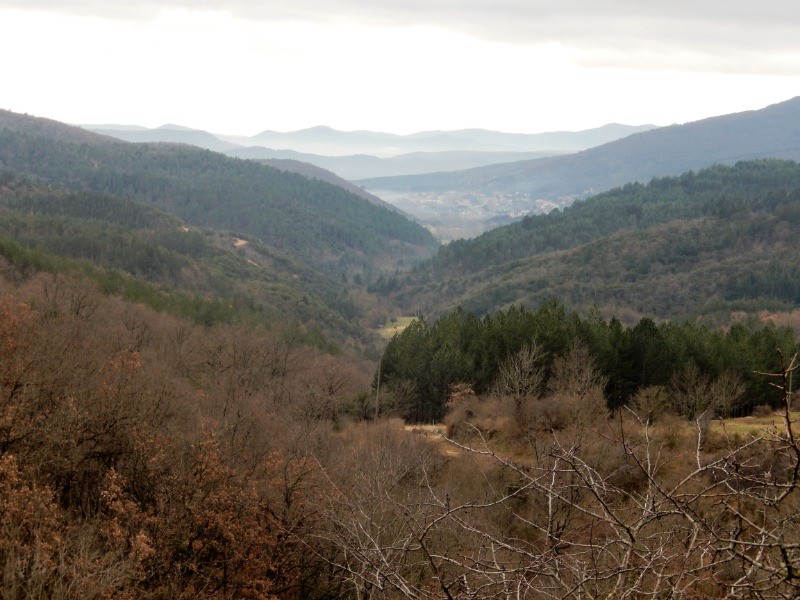
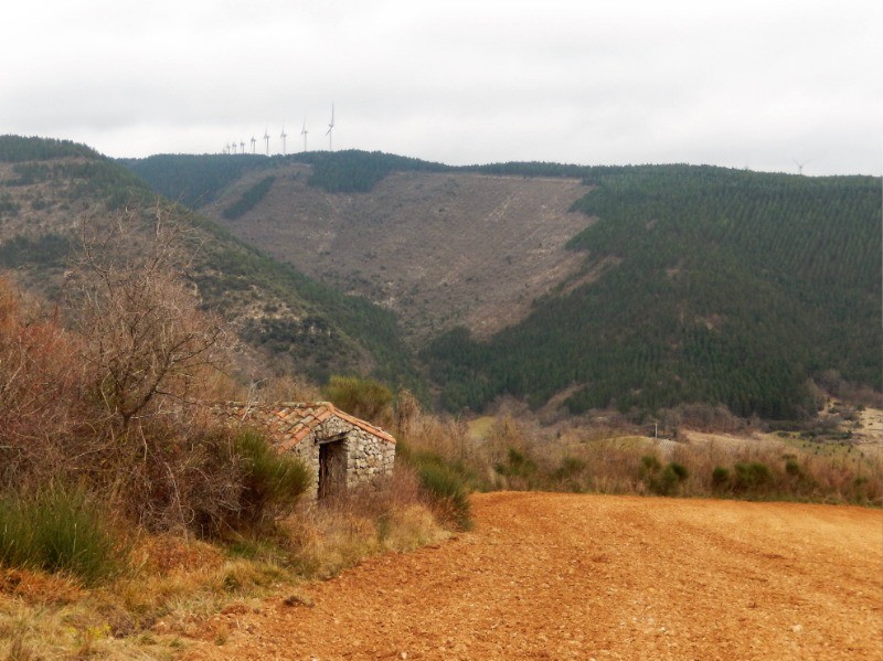
Au départ du village de Joncels, une petite rando sans difficulté, à travers une forêt de pins, chênes et châtaigniers pour découvrir la "pierre du sacrifice".
Au km 11, dans l'épingle, possibilité de prendre un chemin à gauche pour éviter un km de route.
 Actions
13.2 km

+311 m
/-300 m
03:09

Cliquez pour activer


Cliquez et déplacez la souris sur le profil pour analyser un tronçon (2 doigts sur mobile)
 Photos
Commentaires
Pas encore de commentaire, connectez-vous pour en ajouter un.
Connectez-vous pour ajouter un commentaire
Longueur et nombre de points

13.16 km

924 pts
Denivelé et altitude
Calculés avec un seuil de 10 mètres et un lissage sur 5 points

310 m

301 m

524 m

381 m

443 m
Date et durée

17 janvier 2019
08:32

17 janvier 2019
11:57

03:24:51

03:09:41

00:15:10
Vitesses et denivelés horaires

4.2 km/h
Détail »

5.4 km/h
au km 11.9

230 m/h
1h07m22s

-265 m/h
0h50m22s
| km | Temps | Vitesse | Pause |
|---|
| 1 | 15'27" | 3.9 km/h | |
| 2 | 14'27" | 4.1 km/h | |
| 3 | 17'26" | 3.4 km/h | |
| 4 | 14'46" | 4.1 km/h | |
| 5 | 13'47" | 4.4 km/h | |
| 6 | 15'33" | 3.9 km/h | 13'37" |
| 7 | 13'00" | 4.6 km/h | |
| 8 | 14'52" | 4 km/h | |
| 9 | 14'13" | 4.2 km/h | |
| 10 | 13'55" | 4.3 km/h | |
| 11 | 13'00" | 4.6 km/h | |
| 12 | 12'19" | 4.9 km/h | |
| 13 | 14'28" | 4.1 km/h | |
Dépense calorique (estimation)

397 Cal
126 Cal/h
Plus

Affichée 1248 fois et téléchargée 145 fois depuis le 07.04.20 15:25
KME
17.3 kilomètres effort
Carte + Profil [Afficher un aperçu]
<iframe src="https://www.visugpx.com/aTHQcRfvvo?iframe" allowfullscreen style="border: 0;width: 100%; height: 540px;" loading="lazy" scrolling="no"></iframe>
Carte uniquement [Afficher un aperçu]
<iframe src="https://www.visugpx.com/aTHQcRfvvo?iframe&maponly" allowfullscreen style="border: 0;width: 100%; height: 540px;" loading="lazy" scrolling="no"></iframe>

 ForumsToposLes plus belles randosSegments
 Offre Premium
 Connexion


 45
45 77
77 31 [Légende]


