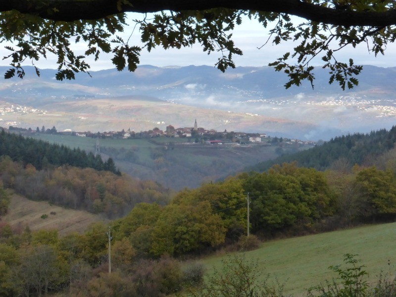
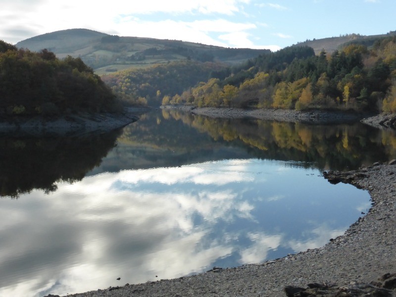
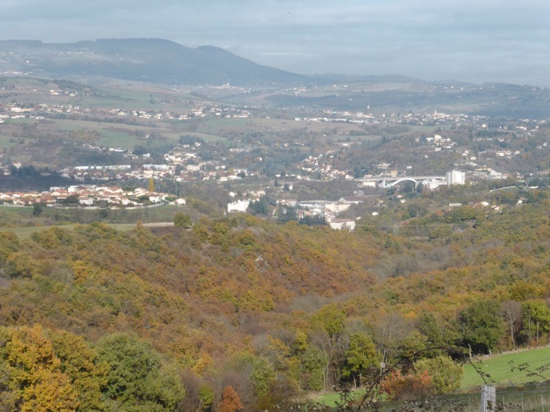
Au départ de Farnay, petite commune sur les hauteurs de la Vallée du Gier, cette balade nous emmènera au barrage de Couzon et vous fera découvrir de beaux paysages. Ne pas oublier des jumelles pour rapprocher toutes les nombreuses communes visibles le long du parcours.
 Actions
11.9 km

+284 m
/-286 m
03:09

Cliquez pour activer


Cliquez et déplacez la souris sur le profil pour analyser un tronçon (2 doigts sur mobile)
 Photos
Commentaires
Pas encore de commentaire, connectez-vous pour en ajouter un.
Connectez-vous pour ajouter un commentaire
Longueur et nombre de points

11.9 km

576 pts
Denivelé et altitude
Calculés avec un seuil de 10 mètres et un lissage sur 5 points

283 m

286 m

545 m

365 m

436 m
Date et durée

17 novembre 2016
09:03

17 novembre 2016
12:42

03:39:01

03:09:35

00:29:26
Vitesses et denivelés horaires

3.8 km/h
Détail »

5.5 km/h
au km 3.8

254 m/h
0h52m09s

-325 m/h
0h44m51s
| km | Temps | Vitesse | Pause |
|---|
| 1 | 12'56" | 4.6 km/h | 06'02" |
| 2 | 14'12" | 4.2 km/h | |
| 3 | 20'40" | 2.9 km/h | 04'16" |
| 4 | 14'07" | 4.3 km/h | |
| 5 | 17'07" | 3.5 km/h | |
| 6 | 16'45" | 3.6 km/h | |
| 7 | 18'10" | 3.3 km/h | 13'36" |
| 8 | 14'21" | 4.2 km/h | 02'36" |
| 9 | 13'39" | 4.4 km/h | |
| 10 | 14'22" | 4.2 km/h | 02'56" |
| 11 | 16'07" | 3.7 km/h | |
Dépense calorique (estimation)

351 Cal
111 Cal/h
Plus

Affichée 2229 fois et téléchargée 222 fois depuis le 07.04.20 15:25
KME
15.7 kilomètres effort
Carte + Profil [Afficher un aperçu]
<iframe src="https://www.visugpx.com/ZfeX8z1dt8?iframe" allowfullscreen style="border: 0;width: 100%; height: 540px;" loading="lazy" scrolling="no"></iframe>
Carte uniquement [Afficher un aperçu]
<iframe src="https://www.visugpx.com/ZfeX8z1dt8?iframe&maponly" allowfullscreen style="border: 0;width: 100%; height: 540px;" loading="lazy" scrolling="no"></iframe>

 ForumsToposLes plus belles randosSegments
 Offre Premium
 Connexion


 47
47 82
82 32 [Légende]


