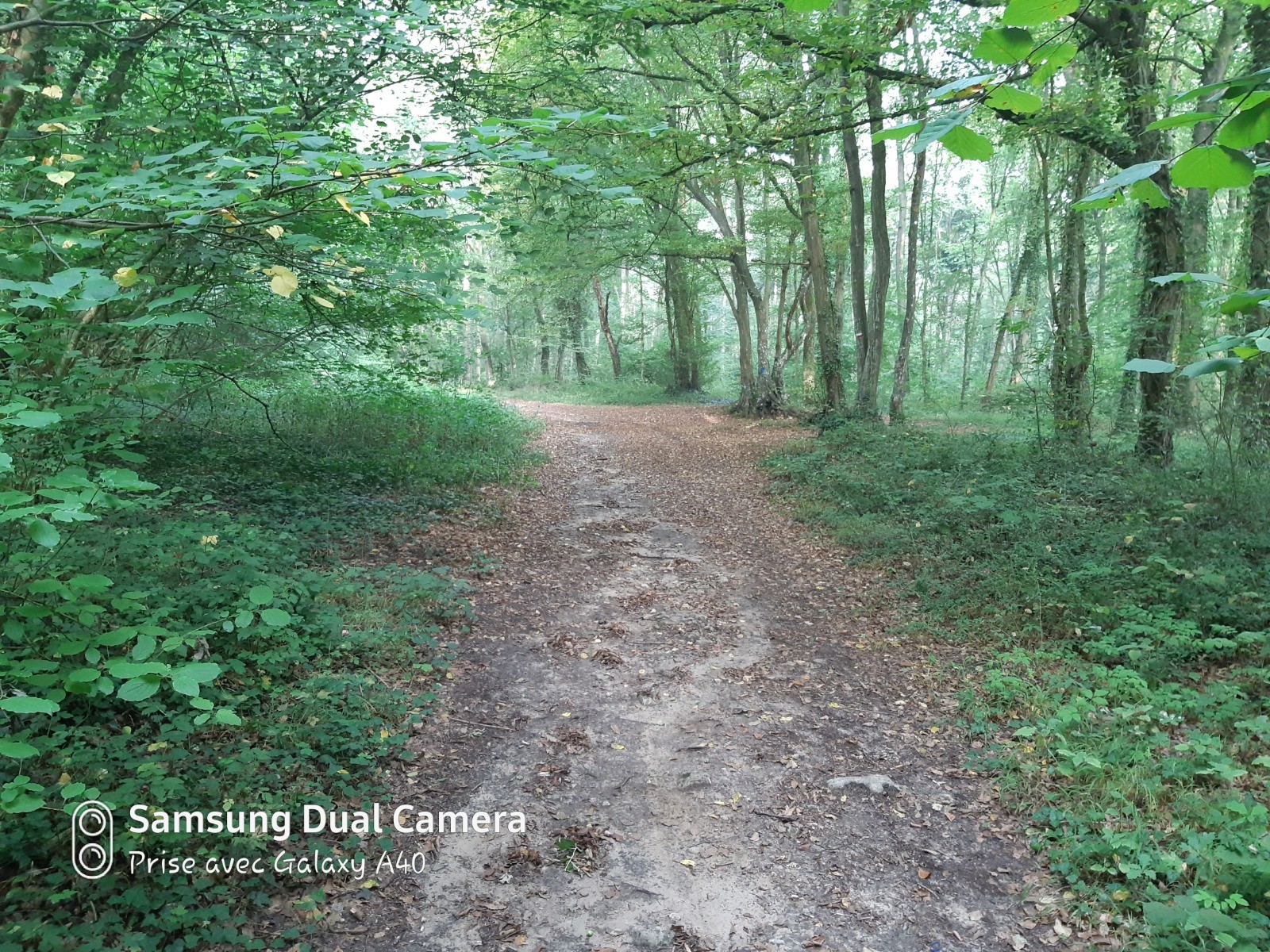
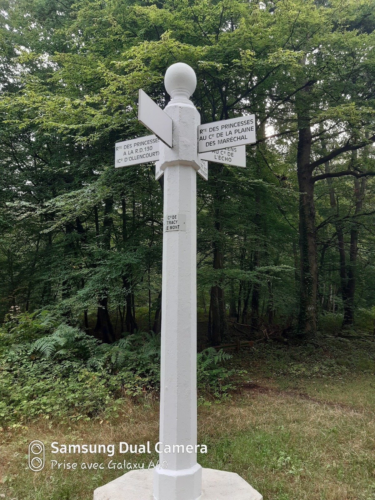
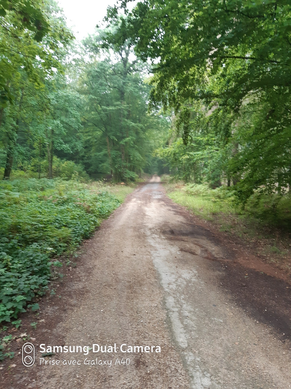
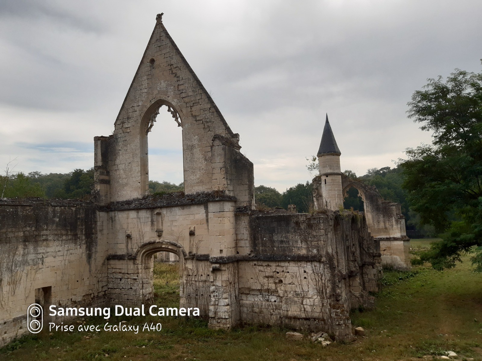
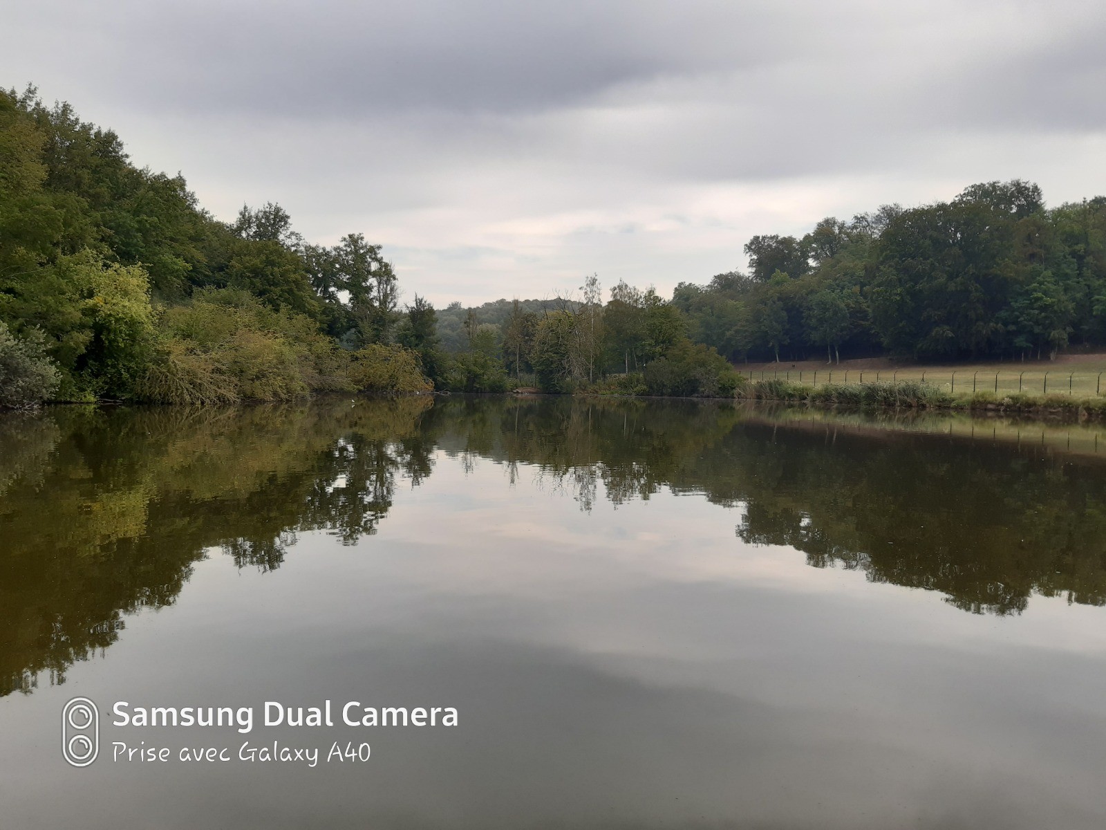
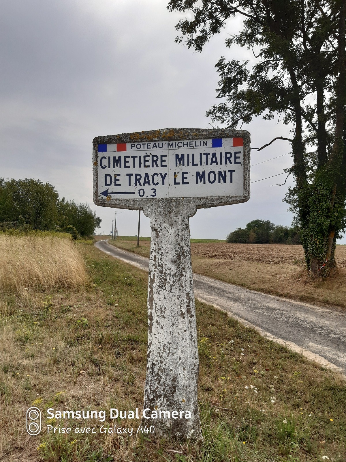
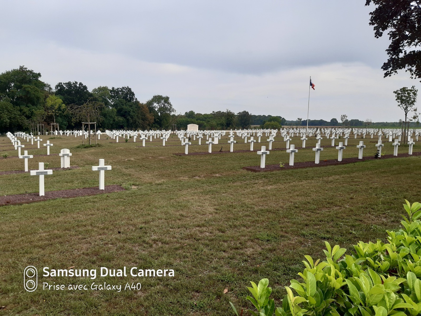
Suivre le GR pendant 3.6 kms et prendre à gauche en longeant le mur jusqu'au Prieuré. Longer l'étang, puis continuer sur le GR pendant 1 centaine de mètres. Prendre le sentier à droite et au bout de 400 m prendre encore à droite. On revient alors sur le GR qu'on emprunte à gauche en direction du Carrefour Ste Croix. Rester sur le Grand Octogone pendant 1 km et prendre à droite pour rejoindre le Carrefour de Tracy Le Mont. On reste alors sur le GR pendant 1.5 km et s'engager sur la Route du Rond Buisson, puis la Rue Pillet Will et la Rue du Point du Jour. Prendre à droite la D16 pendant 1 vingtaine de mètre et s'engager dans la rue du Cimetière Militaire en direction de la Nécropole Nationale. Prendre légèrement à gauche au cimetière puis encore à gauche 100 m plus loin. Descendre en sous bois et en bas, prendre à gauche pour remonter vers le village et le point de départ.
 Actions
14.1 km

+301 m
/-290 m
02:36

Cliquez pour activer

Cliquez et déplacez la souris sur le profil pour analyser un tronçon (2 doigts sur mobile)
 Photos
Commentaires
Pas encore de commentaire, connectez-vous pour en ajouter un.
Connectez-vous pour ajouter un commentaire
Longueur et nombre de points

14.13 km

269 pts

10 marqueurs
Denivelé et altitude
Calculés avec un seuil de 20 mètres et un lissage sur 3 points (corrigé car densité de points faible)

300 m

290 m

175 m

80 m

129 m
Plus

Affichée 1138 fois et téléchargée 61 fois depuis le 17.08.20 14:05
 Impossible de récupérer l'indice IBP de cette trace
KME
18.1 kilomètres effort
Carte + Profil [Afficher un aperçu]
<iframe src="https://www.visugpx.com/YgnqCIWw94?iframe" allowfullscreen style="border: 0;width: 100%; height: 540px;" loading="lazy" scrolling="no"></iframe>
Carte uniquement [Afficher un aperçu]
<iframe src="https://www.visugpx.com/YgnqCIWw94?iframe&maponly" allowfullscreen style="border: 0;width: 100%; height: 540px;" loading="lazy" scrolling="no"></iframe>

 ForumsToposLes plus belles randosSegments
 Offre Premium
 Connexion