Sortie effectuée avec le Rando Club Yerrois et Gérard
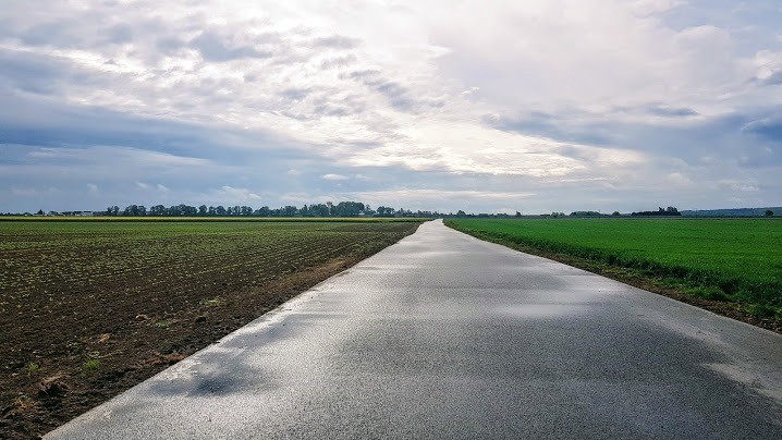
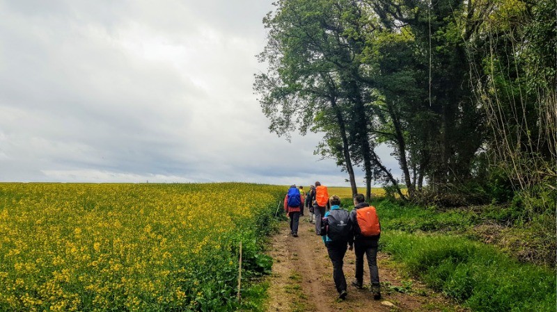
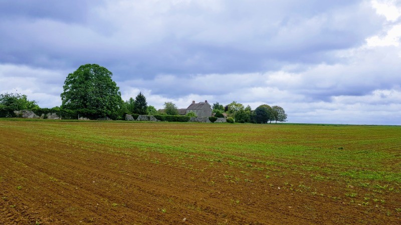
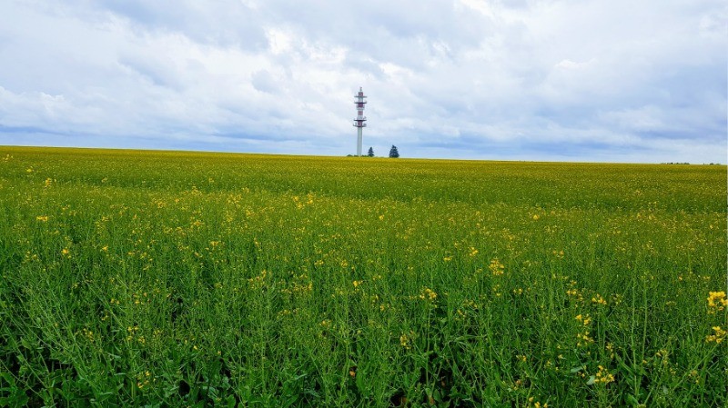
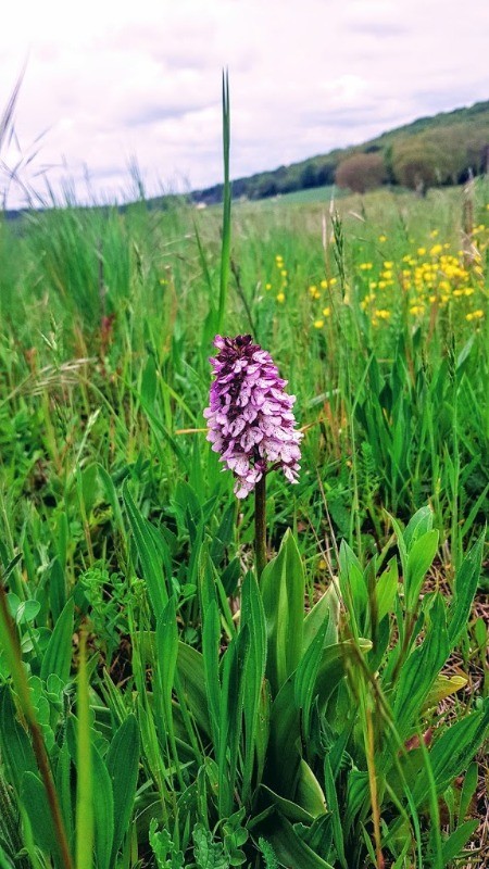
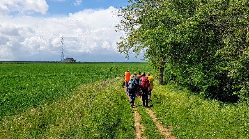
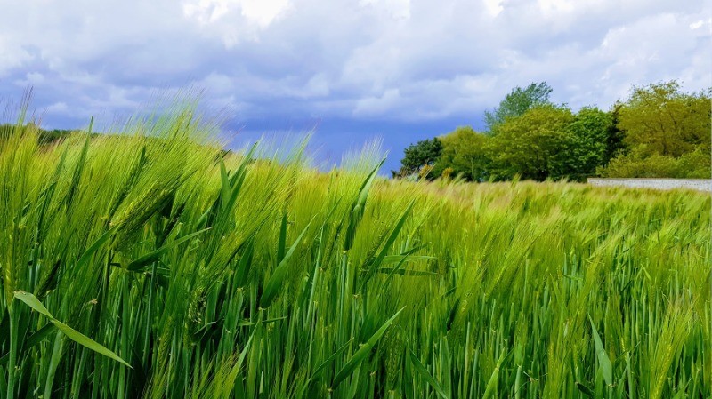
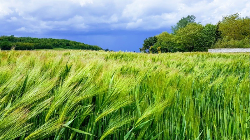
Aucune difficulté particulière à signaler sur ce parcours très agréable et champêtre à souhait
relive
youtu.be/3Y7snxEeG_Y Actions
28 km

+191 m
/-191 m
05:55

Cliquez pour activer


Cliquez et déplacez la souris sur le profil pour analyser un tronçon (2 doigts sur mobile)
 Photos
Commentaires
Pas encore de commentaire, connectez-vous pour en ajouter un.
Connectez-vous pour ajouter un commentaire
Longueur et nombre de points

28.05 km

5983 pts
Denivelé et altitude
Calculés avec un seuil de 5 mètres et un lissage sur 3 points

191 m

192 m

206 m

132 m

168 m
Date et durée

08 mai 2019
09:13

08 mai 2019
16:40

07:26:43

05:55:52

01:30:51
Vitesses et denivelés horaires

4.7 km/h
Détail »

6.5 km/h
au km 3

177 m/h
0h28m46s

-230 m/h
0h26m09s
| km | Temps | Vitesse | Pause |
|---|
| 1 | 11'40" | 5.1 km/h | 03'51" |
| 2 | 10'53" | 5.5 km/h | 03'32" |
| 3 | 11'42" | 5.1 km/h | |
| 4 | 12'46" | 4.7 km/h | |
| 5 | 13'53" | 4.3 km/h | 03'16" |
| 6 | 11'43" | 5.1 km/h | |
| 7 | 11'47" | 5.1 km/h | |
| 8 | 14'20" | 4.2 km/h | 14'52" |
| 9 | 14'19" | 4.2 km/h | |
| 10 | 12'18" | 4.9 km/h | |
| 11 | 14'44" | 4.1 km/h | 01'42" |
| 12 | 13'01" | 4.6 km/h | |
| 13 | 12'05" | 5 km/h | |
| 14 | 11'58" | 5 km/h | |
| 15 | 11'20" | 5.3 km/h | |
| 16 | 12'56" | 4.6 km/h | 51'02" |
| 17 | 14'50" | 4 km/h | |
| 18 | 11'39" | 5.1 km/h | |
| 19 | 16'24" | 3.7 km/h | |
| 20 | 13'10" | 4.6 km/h | |
| 21 | 12'11" | 4.9 km/h | |
| 22 | 12'35" | 4.8 km/h | 06'39" |
| 23 | 11'54" | 5 km/h | |
| 24 | 12'09" | 4.9 km/h | |
| 25 | 11'47" | 5.1 km/h | 03'55" |
| 26 | 11'28" | 5.2 km/h | |
| 27 | 11'32" | 5.2 km/h | 02'02" |
| 28 | 11'41" | 5.1 km/h | |
Dépense calorique (estimation)

509 Cal
86 Cal/h
Plus

Affichée 875 fois et téléchargée 35 fois depuis le 09.05.19 18:13
KME
30.6 kilomètres effort
Carte + Profil [Afficher un aperçu]
<iframe src="https://www.visugpx.com/YOoBkQkJ4G?iframe" allowfullscreen style="border: 0;width: 100%; height: 540px;" loading="lazy" scrolling="no"></iframe>
Carte uniquement [Afficher un aperçu]
<iframe src="https://www.visugpx.com/YOoBkQkJ4G?iframe&maponly" allowfullscreen style="border: 0;width: 100%; height: 540px;" loading="lazy" scrolling="no"></iframe>


 ForumsToposLes plus belles randosSegments
 Offre Premium
 Connexion


 70
70 99
99 19 [Légende]


