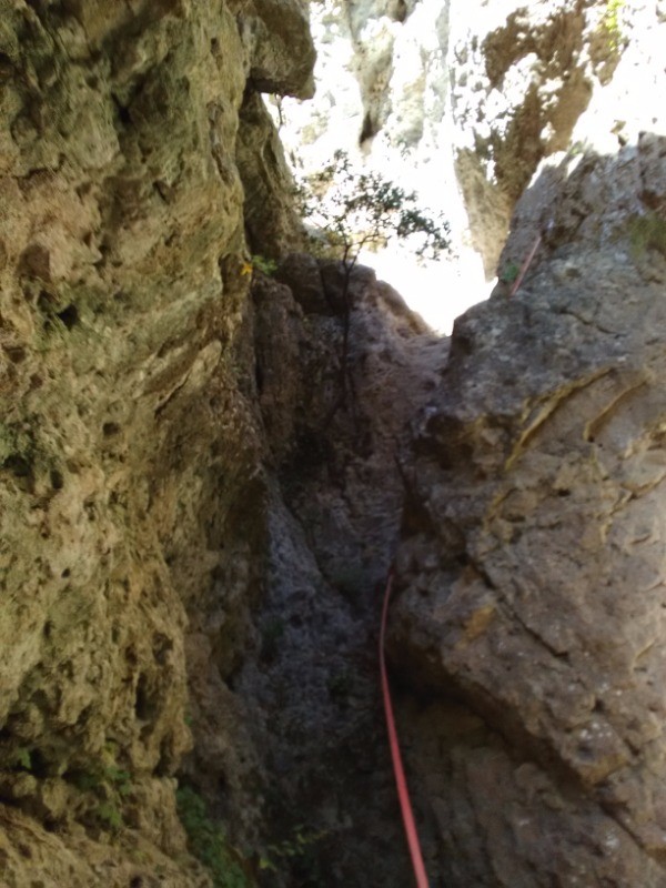
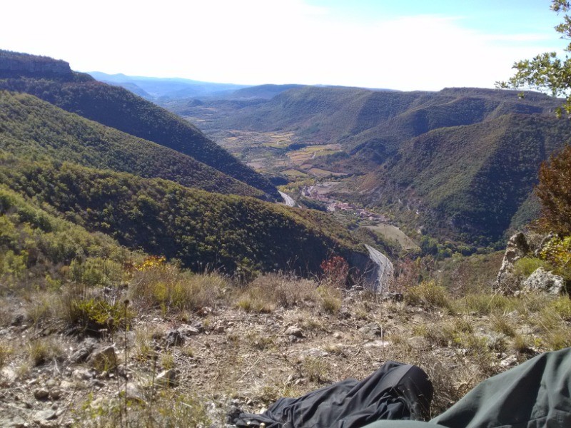
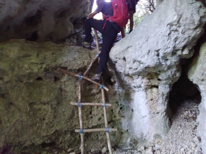
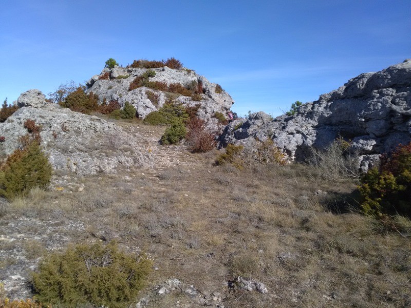
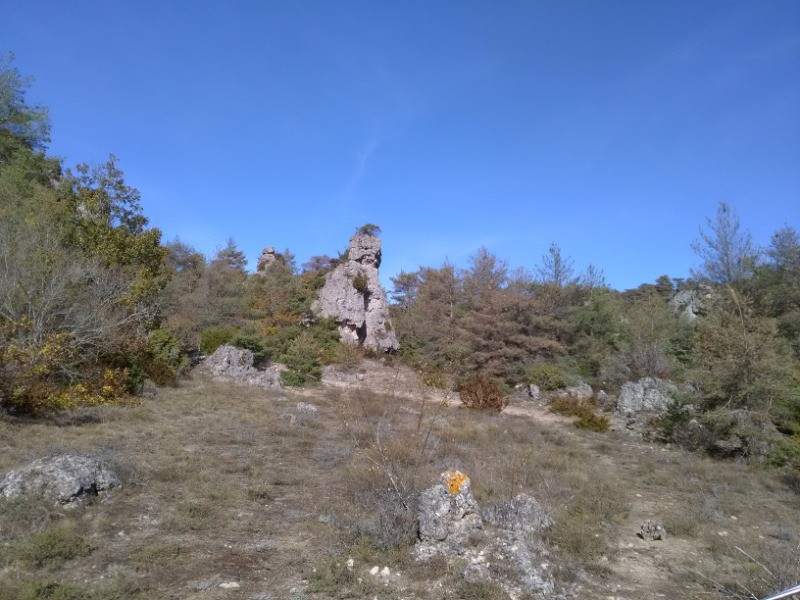
Circuit qui sort des sentiers battus avec de très belles vues.
 Actions
22 km

+905 m
/-904 m
06:21

Cliquez pour activer


Cliquez et déplacez la souris sur le profil pour analyser un tronçon (2 doigts sur mobile)
 Photos
Commentaires

Par
Kuota34 le 25.10.17 15:48
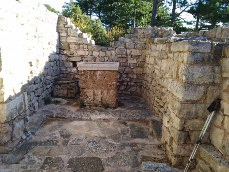
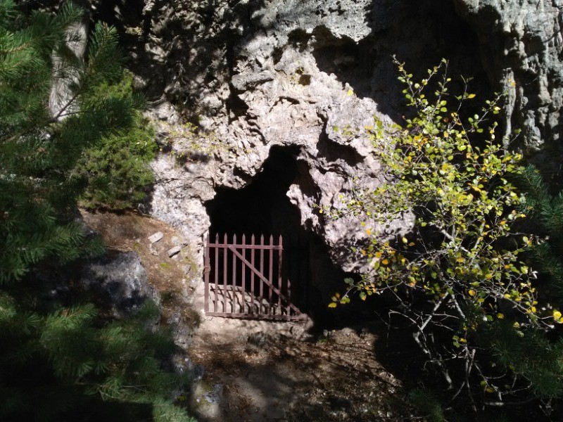
Attention la chapelle St Vincent est en propriété privé.
Connectez-vous pour ajouter un commentaire
Longueur et nombre de points

22.03 km

2524 pts
Denivelé et altitude
Calculés sans seuil et un lissage sur 5 points

904 m

904 m

819 m

233 m

597 m
Date et durée

24 octobre 2017
08:52

24 octobre 2017
17:04

08:11:33

06:21:54

01:49:39
Vitesses et denivelés horaires

3.5 km/h
Détail »

5.9 km/h
au km 18.6

313 m/h
2h23m29s

-364 m/h
2h03m37s
| km | Temps | Vitesse | Pause |
|---|
| 1 | 17'25" | 3.4 km/h | |
| 2 | 18'29" | 3.2 km/h | 01'52" |
| 3 | 20'29" | 2.9 km/h | |
| 4 | 20'30" | 2.9 km/h | 02'20" |
| 5 | 19'13" | 3.1 km/h | 07'42" |
| 6 | 17'24" | 3.4 km/h | |
| 7 | 19'11" | 3.1 km/h | |
| 8 | 18'13" | 3.3 km/h | |
| 9 | 17'33" | 3.4 km/h | 01'23" |
| 10 | 30'47" | 1.9 km/h | 61'12" |
| 11 | 25'23" | 2.4 km/h | 02'55" |
| 12 | 16'14" | 3.7 km/h | |
| 13 | 13'29" | 4.4 km/h | |
| 14 | 12'38" | 4.7 km/h | 01'40" |
| 15 | 16'15" | 3.7 km/h | 10'41" |
| 16 | 14'25" | 4.2 km/h | |
| 17 | 14'29" | 4.1 km/h | 11'07" |
| 18 | 13'20" | 4.5 km/h | |
| 19 | 12'39" | 4.7 km/h | 06'31" |
| 20 | 14'08" | 4.2 km/h | |
| 21 | 14'52" | 4 km/h | 02'16" |
| 22 | 14'19" | 4.2 km/h | |
Dépense calorique (estimation)

706 Cal
111 Cal/h
Plus

Affichée 980 fois et téléchargée 100 fois depuis le 07.04.20 15:25
KME
34.1 kilomètres effort
Carte + Profil [Afficher un aperçu]
<iframe src="https://www.visugpx.com/Y6dP9Z1NkO?iframe" allowfullscreen style="border: 0;width: 100%; height: 540px;" loading="lazy" scrolling="no"></iframe>
Carte uniquement [Afficher un aperçu]
<iframe src="https://www.visugpx.com/Y6dP9Z1NkO?iframe&maponly" allowfullscreen style="border: 0;width: 100%; height: 540px;" loading="lazy" scrolling="no"></iframe>

 ForumsToposLes plus belles randosSegments
 Offre Premium
 Connexion


 88
88 174
174 96 [Légende]


