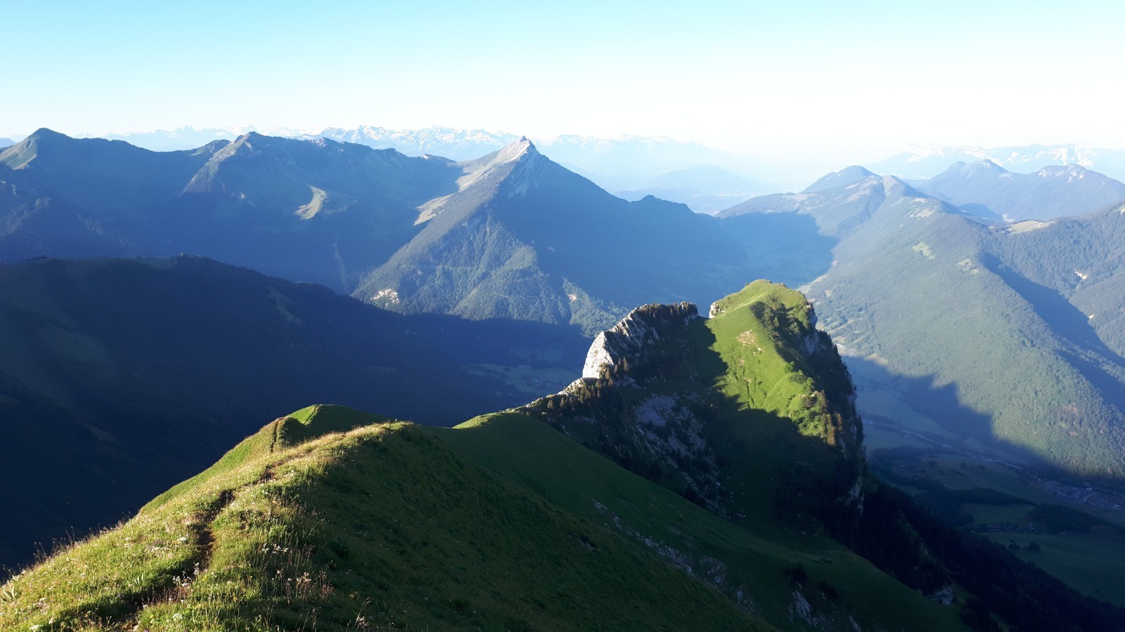
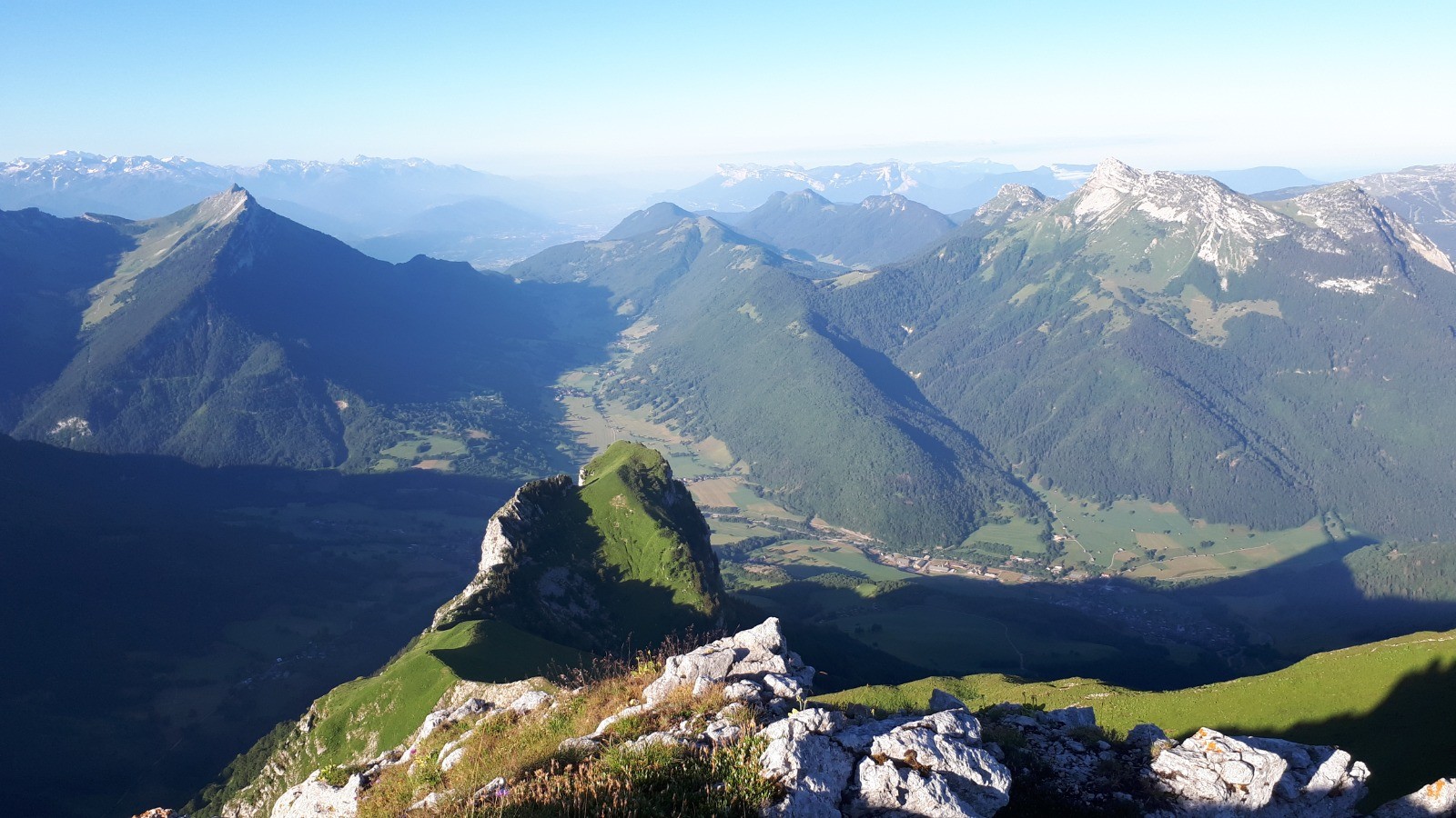
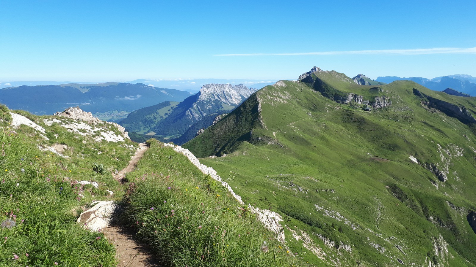
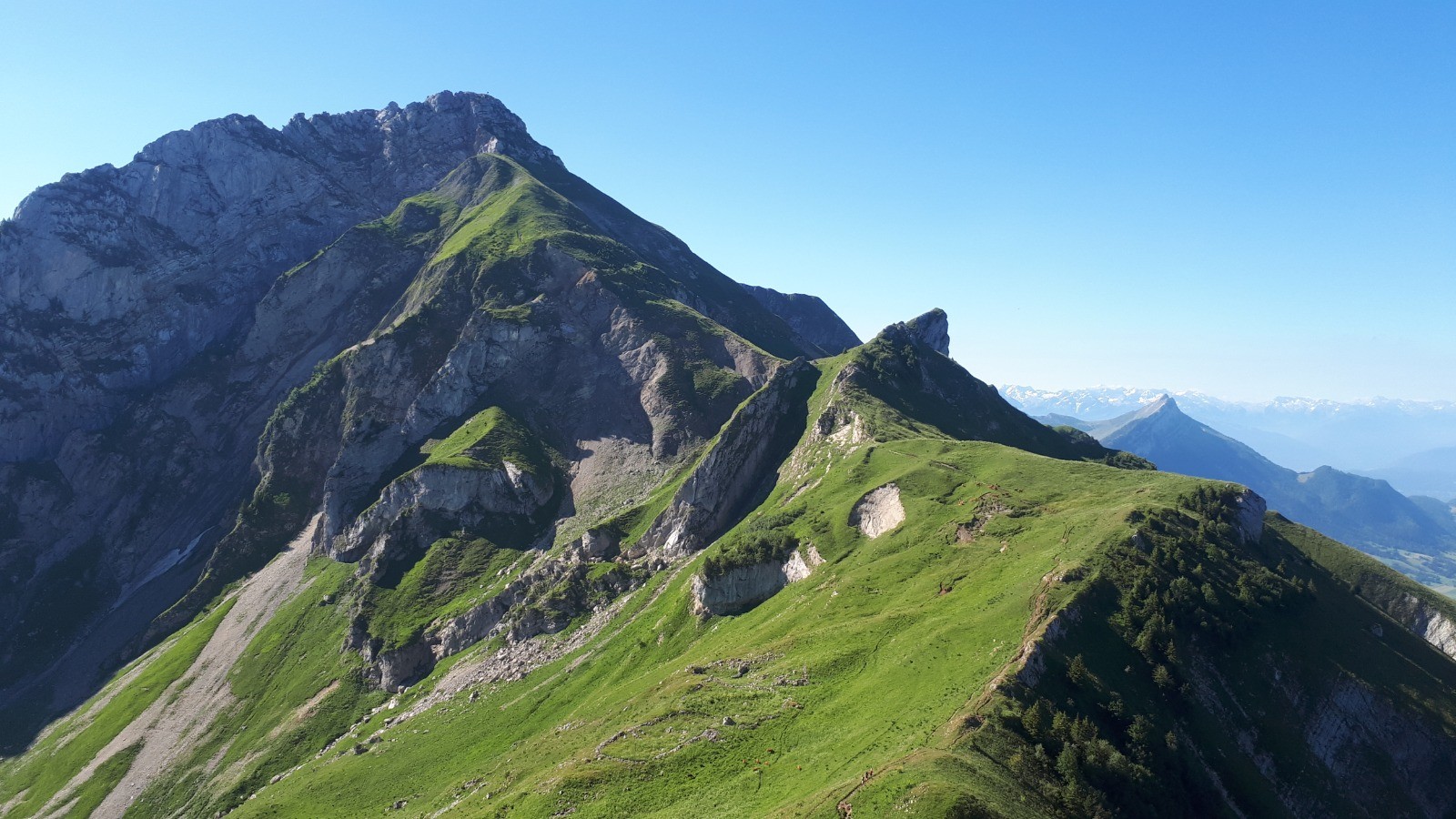
Rando en boucle.
Départ : Doucy (Les Magnoux) 930m
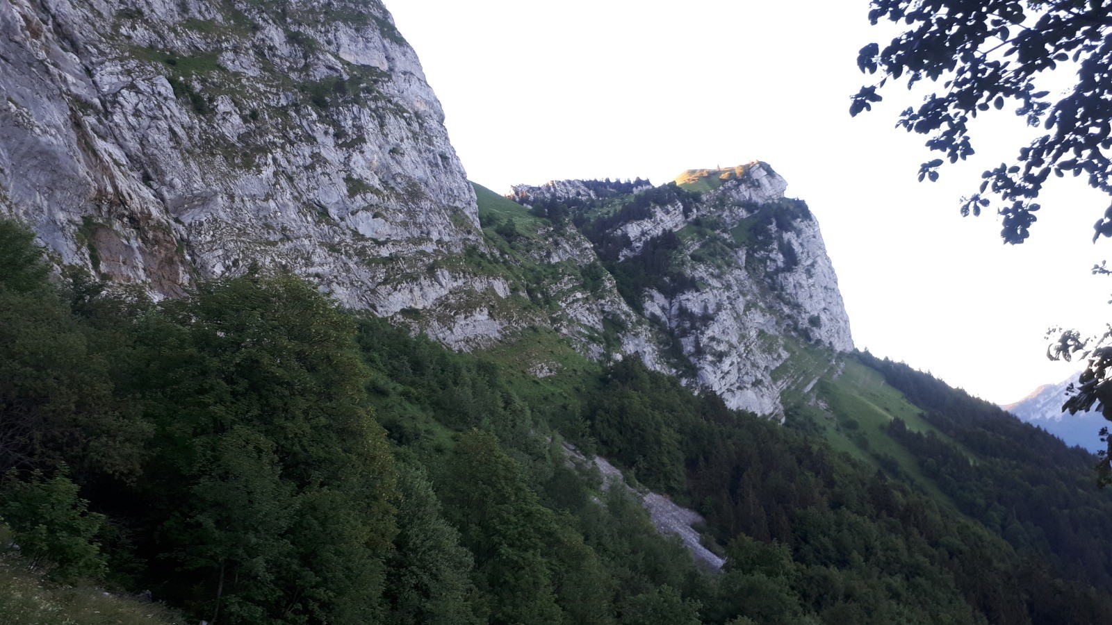
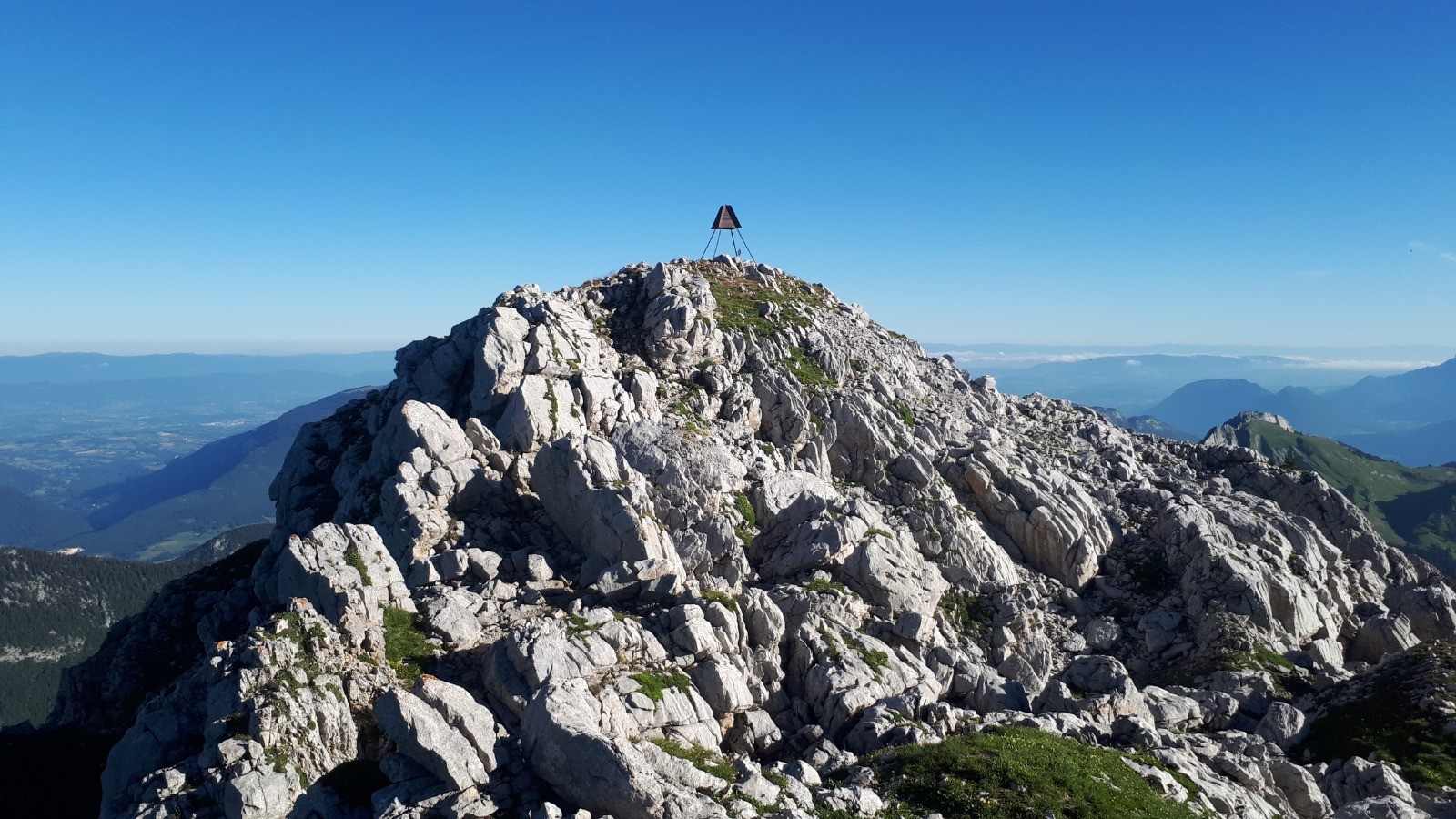
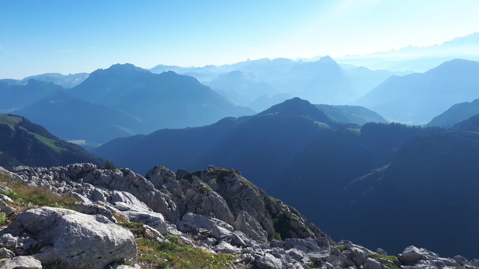
Montée par les cascades, sous Pleuven et la crête.
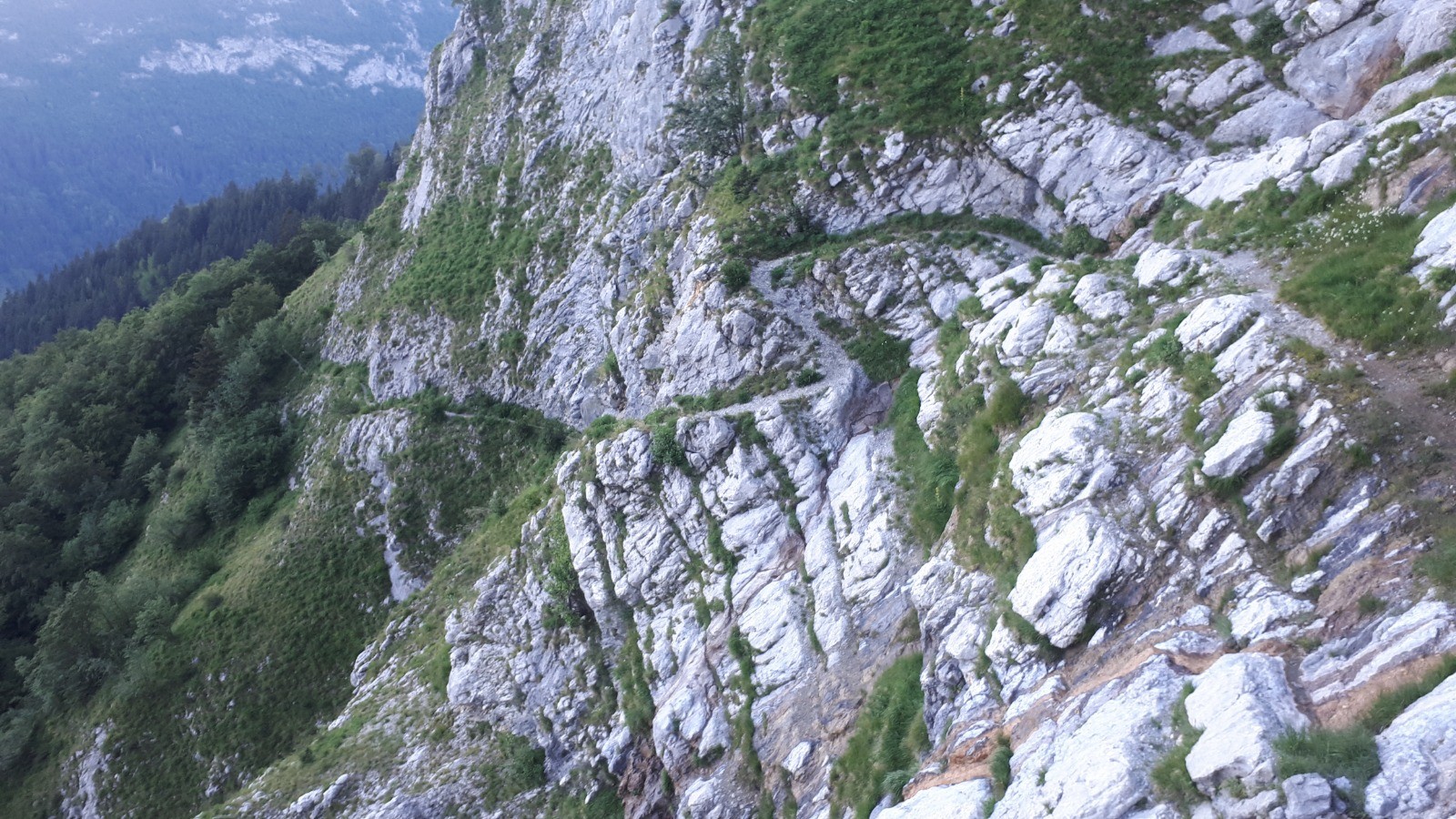
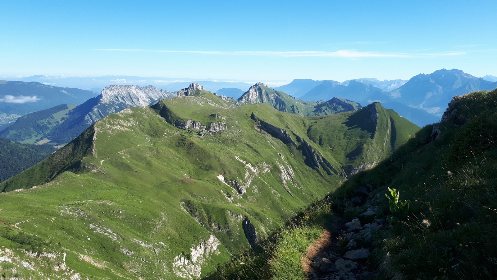
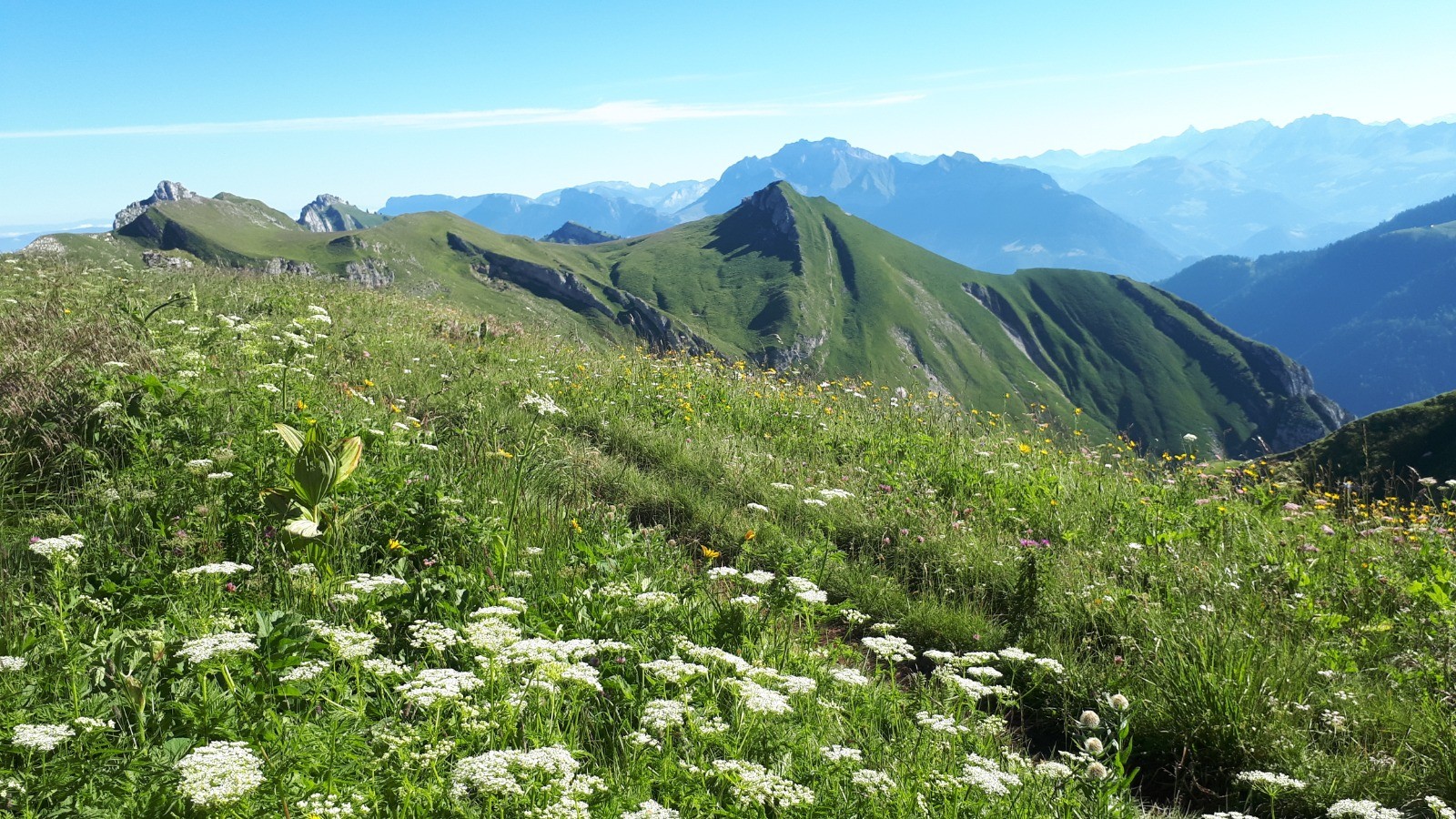
Descente par l'itinéraire classique, chalet des Gardes, sous la Dent des Portes, parking des Cornes...et 3,5 km de route pour rejoindre le point de départ !
 Actions
14.8 km

+1265 m
/-1263 m
04:15

Cliquez pour activer


Cliquez et déplacez la souris sur le profil pour analyser un tronçon (2 doigts sur mobile)
 Photos
Commentaires
Pas encore de commentaire, connectez-vous pour en ajouter un.
Connectez-vous pour ajouter un commentaire
Longueur et nombre de points

14.8 km

11236 pts
Denivelé et altitude
Calculés avec un seuil de 10 mètres et un lissage sur 5 points

1264 m

1263 m

2124 m

926 m

1479 m
Date et durée

12 juillet 2020
05:26

12 juillet 2020
11:17

05:51:06

04:15:48

01:35:18
Vitesses et denivelés horaires

3.5 km/h
Détail »

6.7 km/h
au km 13.5

535 m/h
2h18m08s

-673 m/h
1h50m14s
| km | Temps | Vitesse | Pause |
|---|
| 1 | 13'57" | 4.3 km/h | |
| 2 | 20'26" | 2.9 km/h | |
| 3 | 20'18" | 3 km/h | 01'16" |
| 4 | 24'13" | 2.5 km/h | 01'30" |
| 5 | 27'19" | 2.2 km/h | 11'01" |
| 6 | 29'51" | 2 km/h | 12'06" |
| 7 | 18'29" | 3.2 km/h | 57'32" |
| 8 | 14'39" | 4.1 km/h | 01'51" |
| 9 | 15'21" | 3.9 km/h | 01'25" |
| 10 | 13'46" | 4.4 km/h | |
| 11 | 14'48" | 4.1 km/h | |
| 12 | 13'00" | 4.6 km/h | 08'37" |
| 13 | 10'04" | 6 km/h | |
| 14 | 11'02" | 5.4 km/h | |
Dépense calorique (estimation)

1312 Cal
308 Cal/h
Plus

Affichée 890 fois et téléchargée 39 fois depuis le 12.07.20 16:23
KME
31.7 kilomètres effort
Carte + Profil [Afficher un aperçu]
<iframe src="https://www.visugpx.com/XHwR8r0Xzz?iframe" allowfullscreen style="border: 0;width: 100%; height: 540px;" loading="lazy" scrolling="no"></iframe>
Carte uniquement [Afficher un aperçu]
<iframe src="https://www.visugpx.com/XHwR8r0Xzz?iframe&maponly" allowfullscreen style="border: 0;width: 100%; height: 540px;" loading="lazy" scrolling="no"></iframe>

 ForumsToposLes plus belles randosSegments
 Offre Premium
 Connexion


 125
125 301
301 157 [Légende]


