
Cliquez pour activer

Cliquez et déplacez la souris sur le profil pour analyser un tronçon (2 doigts sur mobile)
Détails
 Rando Club Yerrois
Date
Rando Club Yerrois
Date : Mercredi 14 octobre 2020
Animateurs : Gilles T sous tutorat Jean Paul C
Groupe :18-22 km
Effectif : 32
Remarque particulière : Parcours sans difficulté particulière à signaler- Météo très agréable
Avertissement Toutes les randonnées répertoriées dans la randothèque du
Rando
Club
Yerrois ont été tracées par l'un de nos animateurs, puis reconnues et enfin effectuées avec un groupe. Pour votre sécurité, regardez toujours la date à laquelle la sortie a été effectuée - Nous tachons de mentionner des conditions météos particulières ou les difficultés éventuelles. N'oubliez jamais les consignes supplémentaires de sécurité.
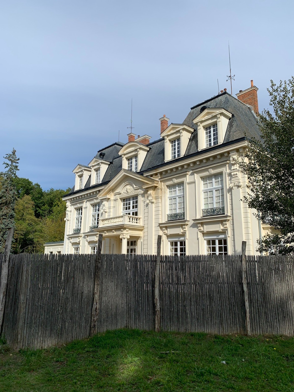
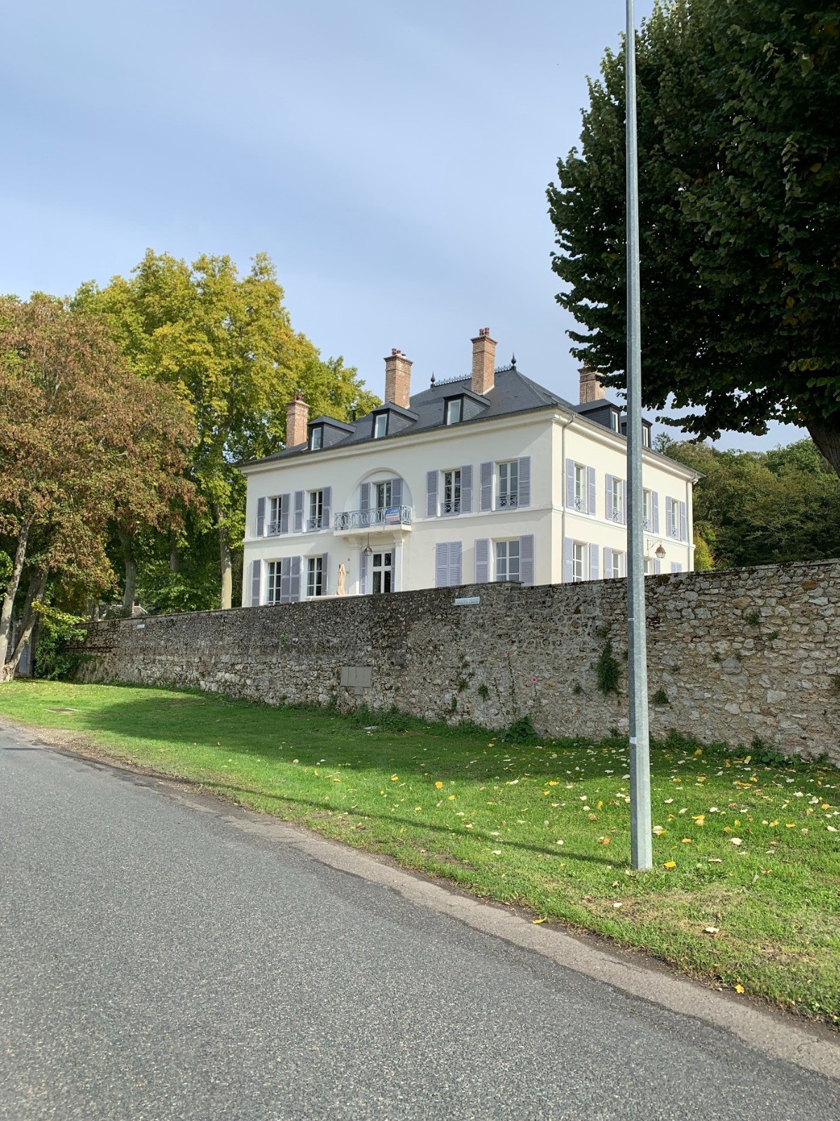
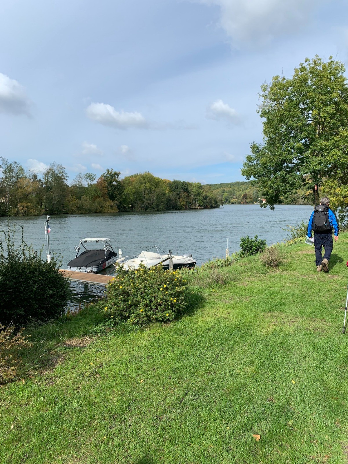
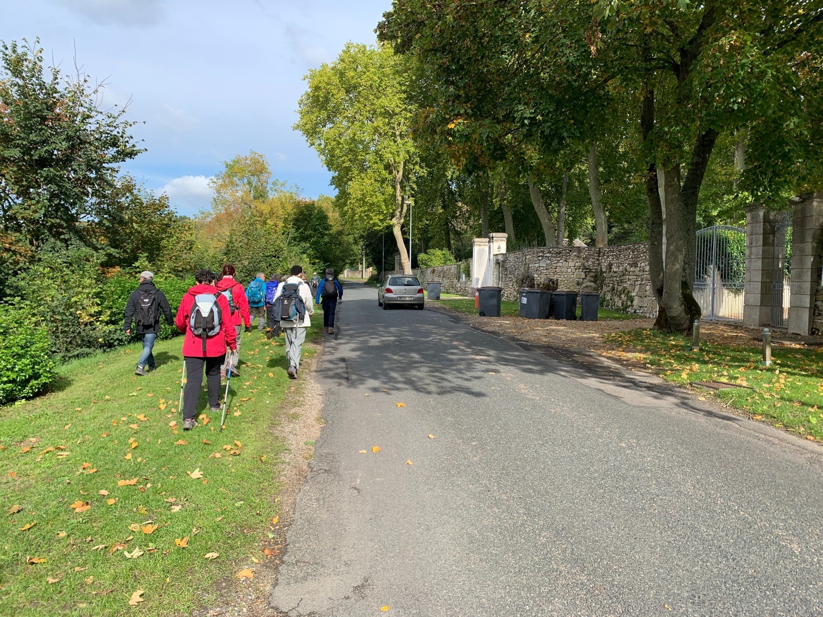
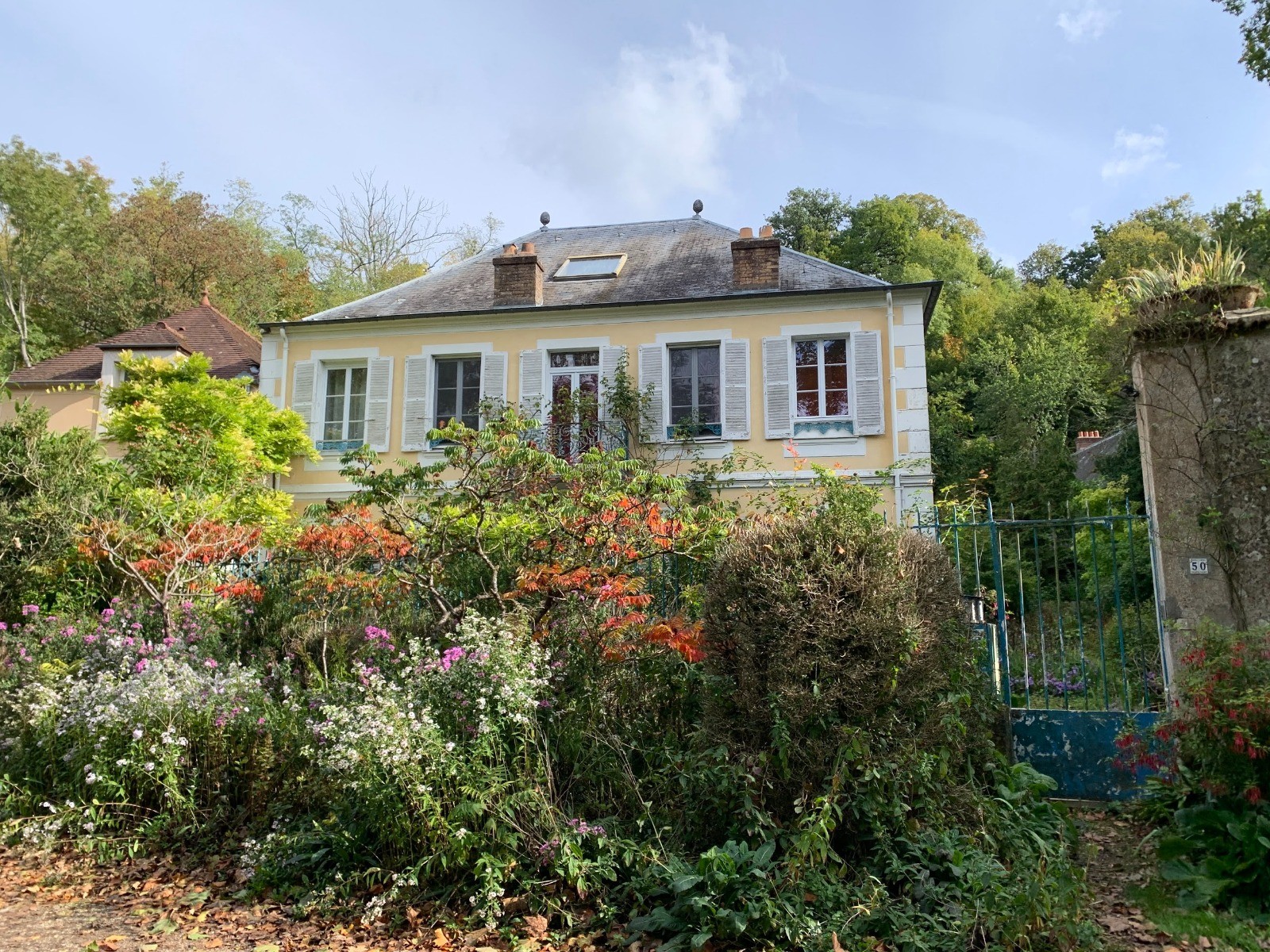
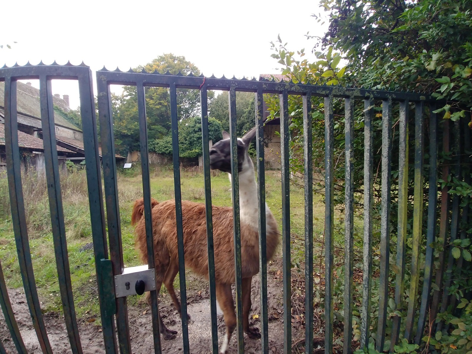
 Photos
Commentaires
Pas encore de commentaire, connectez-vous pour en ajouter un.
Connectez-vous pour ajouter un commentaire
Longueur et nombre de points

20.32 km

1044 pts
Denivelé et altitude
Calculés avec un seuil de 10 mètres et un lissage sur 5 points

131 m

134 m

95 m

41 m

72 m
Plus

Affichée 624 fois et téléchargée 33 fois depuis le 15.10.20 21:53
KME
22.1 kilomètres effort
Carte + Profil [Afficher un aperçu]
<iframe src="https://www.visugpx.com/Wqr08pktkZ?iframe" allowfullscreen style="border: 0;width: 100%; height: 540px;" loading="lazy" scrolling="no"></iframe>
Carte uniquement [Afficher un aperçu]
<iframe src="https://www.visugpx.com/Wqr08pktkZ?iframe&maponly" allowfullscreen style="border: 0;width: 100%; height: 540px;" loading="lazy" scrolling="no"></iframe>


 ForumsToposLes plus belles randosSegments
 Offre Premium
 Connexion


 53
53 75
75 12 [Légende]


 20.3 km
 +131 m
 ±05:30