 Actions
10.5 km

+1139 m
/-1136 m
04:57

Cliquez pour activer


Cliquez et déplacez la souris sur le profil pour analyser un tronçon (2 doigts sur mobile)
 Photos
Commentaires

Par
claude.eco le 30.08.21 08:59
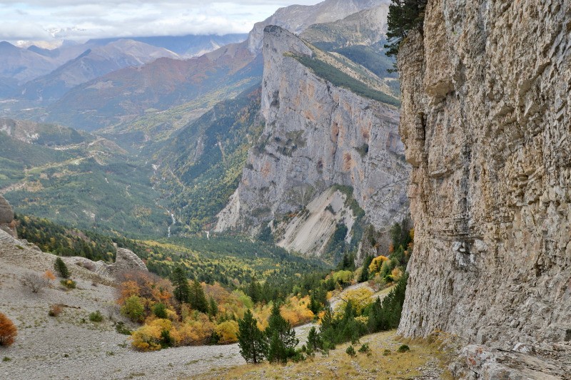
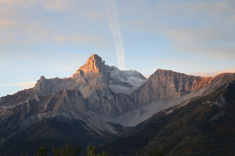
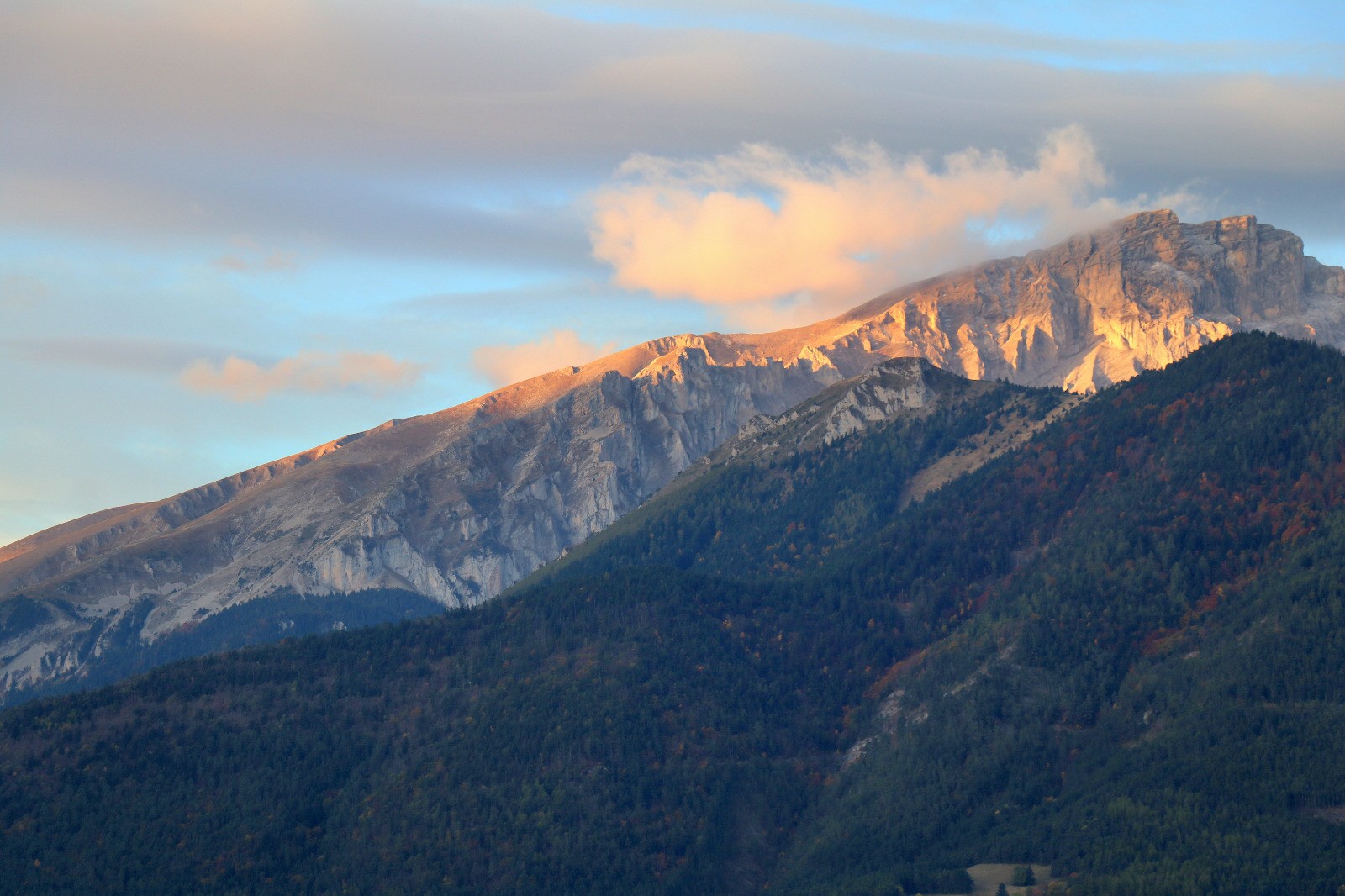
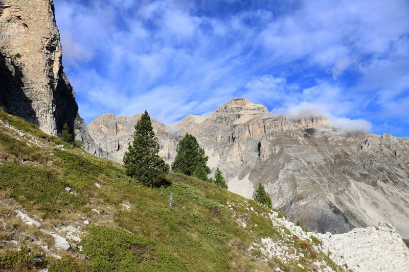
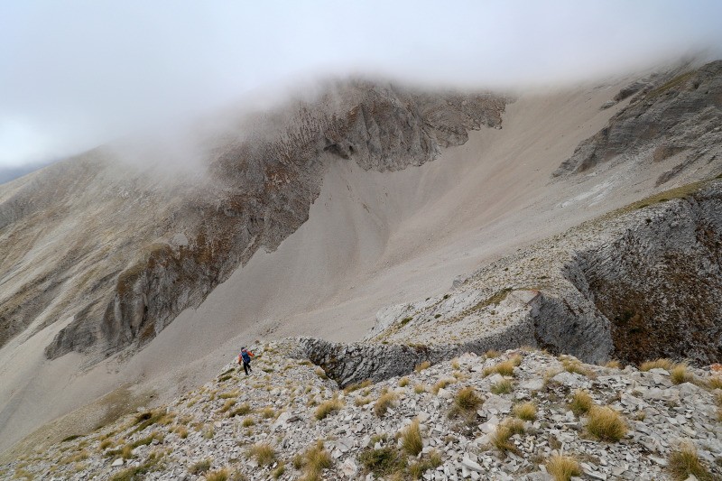
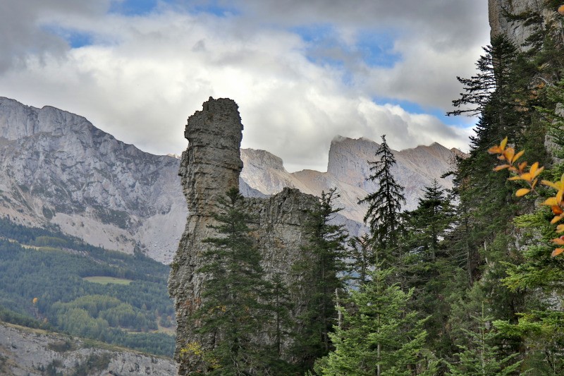
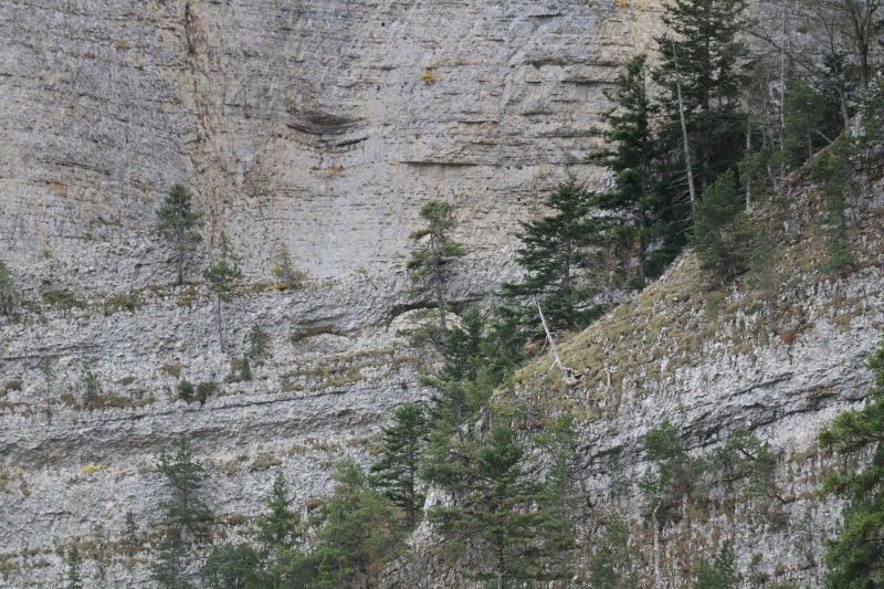
Boucle faite hier avec ma chienne en passant par la Combe du Loup. On est partis sous les nuages pour passer au-dessus. Trace utile pour la descente dans les éboulis sous Pivallon (on a commencé à gauche pour couper dans les éboulis plus bas et tirer à droite ensuite). On reviendra chercher le tunnel.
Connectez-vous pour ajouter un commentaire
Longueur et nombre de points

10.47 km

397 pts

3 marqueurs
Denivelé et altitude
Calculés avec un seuil de 10 mètres et un lissage sur 5 points

1138 m

1136 m

2219 m

1156 m

1508 m
Date et durée

17 octobre 2019
08:43

17 octobre 2019
15:39

06:56:20

04:57:29

01:58:51
Vitesses et denivelés horaires

2.1 km/h
Détail »

6.9 km/h
au km 1

456 m/h
2h21m18s

-527 m/h
2h03m17s
| km | Temps | Vitesse | Pause |
|---|
| 1 | 12'38" | 4.7 km/h | |
| 2 | 20'02" | 3 km/h | 03'02" |
| 3 | 24'58" | 2.4 km/h | |
| 4 | 28'13" | 2.1 km/h | 09'16" |
| 5 | 52'09" | 1.2 km/h | |
| 6 | 36'21" | 1.7 km/h | 55'34" |
| 7 | 35'51" | 1.7 km/h | 26'57" |
| 8 | 36'10" | 1.7 km/h | 18'26" |
| 9 | 30'36" | 2 km/h | 05'36" |
| 10 | 14'10" | 4.2 km/h | |
Dépense calorique (estimation)

854 Cal
172 Cal/h
Plus

Affichée 1403 fois et téléchargée 49 fois depuis le 07.04.20 15:25
KME
25.6 kilomètres effort
Carte + Profil [Afficher un aperçu]
<iframe src="https://www.visugpx.com/WgVXwxvVNh?iframe" allowfullscreen style="border: 0;width: 100%; height: 540px;" loading="lazy" scrolling="no"></iframe>
Carte uniquement [Afficher un aperçu]
<iframe src="https://www.visugpx.com/WgVXwxvVNh?iframe&maponly" allowfullscreen style="border: 0;width: 100%; height: 540px;" loading="lazy" scrolling="no"></iframe>

 ForumsToposLes plus belles randosSegments
 Offre Premium
 Connexion


 136
136 356
356 133 [Légende]


