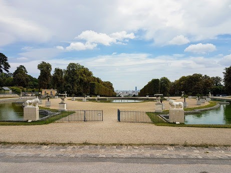
Sortie effectuée en Juillet 2017 avec le Rando Club Yerrois
Tracée et animée par Roland
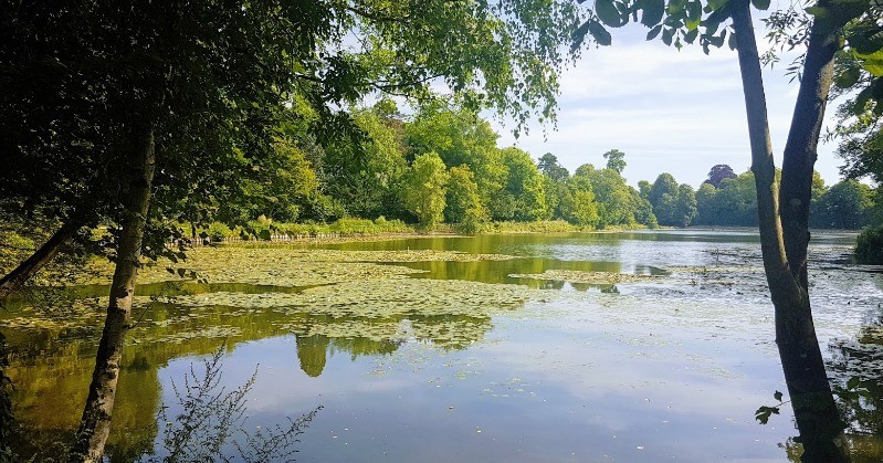
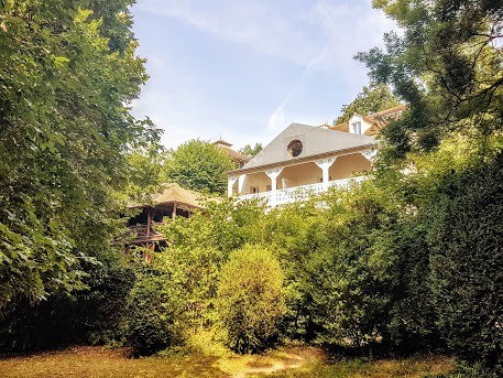
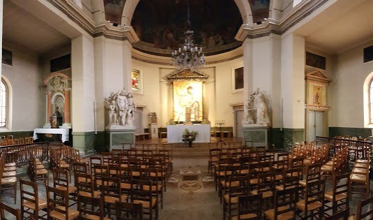
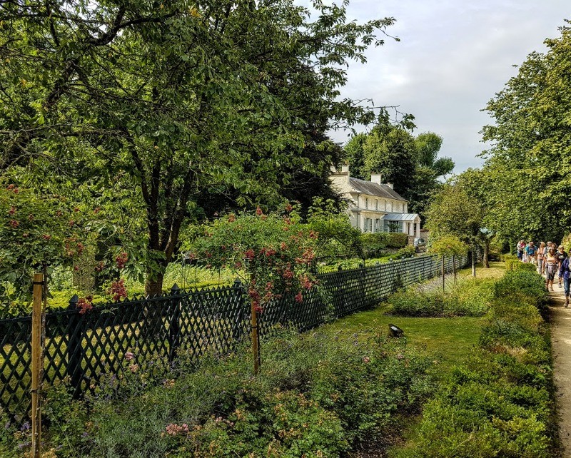
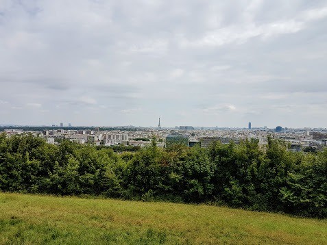
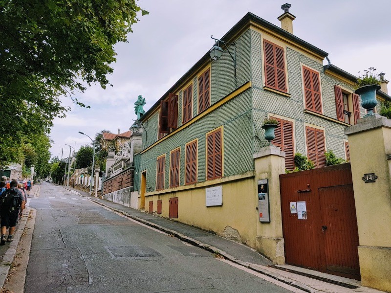
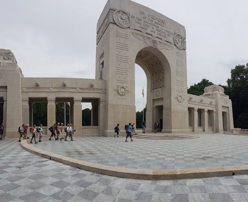
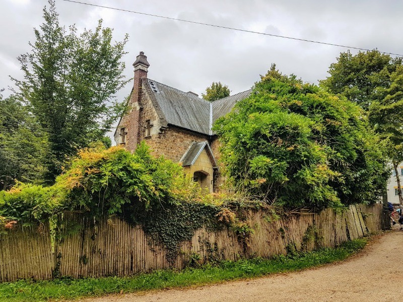
De jolis points de vue tout au long de ce parcours un peu valloné
 Actions
20 km

+247 m
/-255 m
04:59

Cliquez pour activer


Cliquez et déplacez la souris sur le profil pour analyser un tronçon (2 doigts sur mobile)
 Photos
Commentaires
Pas encore de commentaire, connectez-vous pour en ajouter un.
Connectez-vous pour ajouter un commentaire
Longueur et nombre de points

20.01 km

1489 pts
Denivelé et altitude
Calculés avec un seuil de 10 mètres et un lissage sur 5 points

246 m

256 m

219 m

117 m

173 m
Date et durée

26 juillet 2017
09:54

26 juillet 2017
15:58

06:03:56

04:59:43

01:04:13
Vitesses et denivelés horaires

4 km/h
Détail »

7 km/h
au km 8.1

231 m/h
0h49m22s

-197 m/h
0h51m45s
| km | Temps | Vitesse | Pause |
|---|
| 1 | 14'16" | 4.2 km/h | |
| 2 | 14'08" | 4.2 km/h | |
| 3 | 15'15" | 3.9 km/h | |
| 4 | 15'43" | 3.8 km/h | 03'11" |
| 5 | 14'52" | 4 km/h | 12'00" |
| 6 | 16'04" | 3.7 km/h | |
| 7 | 14'41" | 4.1 km/h | |
| 8 | 11'55" | 5 km/h | |
| 9 | 17'36" | 3.4 km/h | 33'40" |
| 10 | 18'54" | 3.2 km/h | |
| 11 | 12'58" | 4.6 km/h | |
| 12 | 13'07" | 4.6 km/h | |
| 13 | 16'37" | 3.6 km/h | |
| 14 | 17'38" | 3.4 km/h | 05'54" |
| 15 | 12'49" | 4.7 km/h | 05'34" |
| 16 | 13'42" | 4.4 km/h | |
| 17 | 15'34" | 3.9 km/h | |
| 18 | 12'54" | 4.6 km/h | |
| 19 | 14'50" | 4 km/h | 03'54" |
| 20 | 15'35" | 3.9 km/h | |
Dépense calorique (estimation)

377 Cal
75 Cal/h
Plus

Affichée 1055 fois et téléchargée 84 fois depuis le 07.04.20 15:25
KME
23.3 kilomètres effort
Carte + Profil [Afficher un aperçu]
<iframe src="https://www.visugpx.com/WMyauwwh0K?iframe" allowfullscreen style="border: 0;width: 100%; height: 540px;" loading="lazy" scrolling="no"></iframe>
Carte uniquement [Afficher un aperçu]
<iframe src="https://www.visugpx.com/WMyauwwh0K?iframe&maponly" allowfullscreen style="border: 0;width: 100%; height: 540px;" loading="lazy" scrolling="no"></iframe>


 ForumsToposLes plus belles randosSegments
 Offre Premium
 Connexion


 55
55 83
83 20 [Légende]


