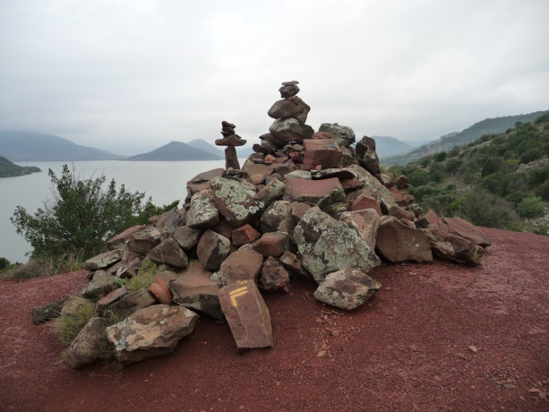
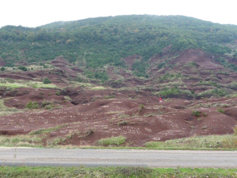
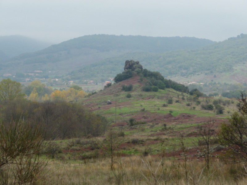
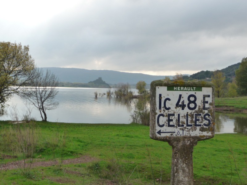
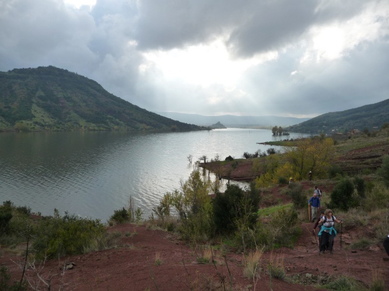
Au départ de la base de plein-air des Vailhés, et dans un cadre magnifique, au milieu des ruffes (la terre rouge du Salagou), le tour complet du lac du Salagou, avec de superbes paysages et points de vue.
 Actions
21.9 km

+333 m
/-221 m
05:41

Cliquez pour activer


Cliquez et déplacez la souris sur le profil pour analyser un tronçon (2 doigts sur mobile)
 Photos
Commentaires
Pas encore de commentaire, connectez-vous pour en ajouter un.
Connectez-vous pour ajouter un commentaire
Longueur et nombre de points

21.92 km

2433 pts
Denivelé et altitude
Calculés avec un seuil de 10 mètres et un lissage sur 5 points

332 m

222 m

226 m

29 m

151 m
Date et durée

15 novembre 2018
08:22

15 novembre 2018
15:21

06:59:53

05:41:17

01:18:36
Vitesses et denivelés horaires

3.9 km/h
Détail »

5.9 km/h
au km 8

320 m/h
0h52m49s

-271 m/h
0h39m11s
| km | Temps | Vitesse | Pause |
|---|
| 1 | 14'15" | 4.2 km/h | |
| 2 | 13'33" | 4.4 km/h | 07'07" |
| 3 | 15'13" | 3.9 km/h | |
| 4 | 14'49" | 4 km/h | 05'03" |
| 5 | 19'33" | 3.1 km/h | 16'18" |
| 6 | 14'02" | 4.3 km/h | 01'47" |
| 7 | 13'58" | 4.3 km/h | |
| 8 | 15'22" | 3.9 km/h | |
| 9 | 14'13" | 4.2 km/h | |
| 10 | 15'30" | 3.9 km/h | 02'03" |
| 11 | 14'50" | 4 km/h | 01'42" |
| 12 | 14'55" | 4 km/h | |
| 13 | 13'17" | 4.5 km/h | |
| 14 | 14'06" | 4.3 km/h | |
| 15 | 16'06" | 3.7 km/h | 23'41" |
| 16 | 17'36" | 3.4 km/h | |
| 17 | 13'52" | 4.3 km/h | 02'51" |
| 18 | 13'52" | 4.3 km/h | |
| 19 | 16'37" | 3.6 km/h | |
| 20 | 12'53" | 4.7 km/h | 07'34" |
| 21 | 21'32" | 2.8 km/h | 06'02" |
Dépense calorique (estimation)

489 Cal
86 Cal/h
Plus

Affichée 5521 fois et téléchargée 801 fois depuis le 07.04.20 15:25
Carte + Profil [Afficher un aperçu]
<iframe src="https://www.visugpx.com/VmDvHr49ic?iframe" allowfullscreen style="border: 0;width: 100%; height: 540px;" loading="lazy" scrolling="no"></iframe>
Carte uniquement [Afficher un aperçu]
<iframe src="https://www.visugpx.com/VmDvHr49ic?iframe&maponly" allowfullscreen style="border: 0;width: 100%; height: 540px;" loading="lazy" scrolling="no"></iframe>

 ForumsToposLes plus belles randosSegments
 Offre Premium
 Connexion


 60
60 88
88 20 [Légende]


