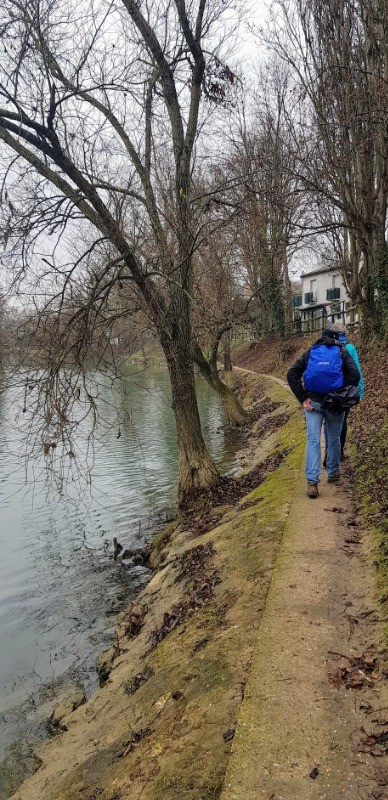
Reconnaissance effectuée en janvier 2019 avec un groupe de 10
Tracée et menée par Jean Luc
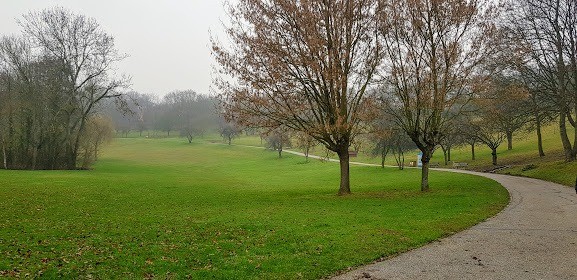
quelques belles descentes :)
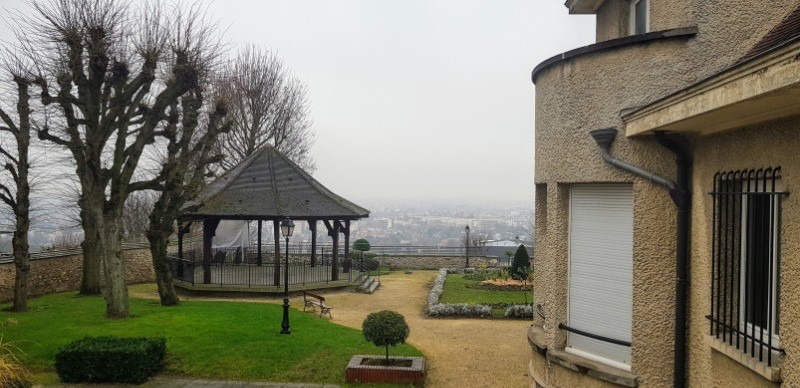
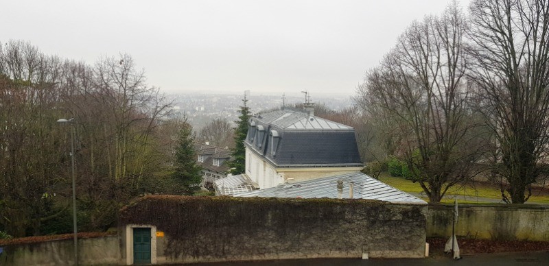
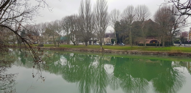
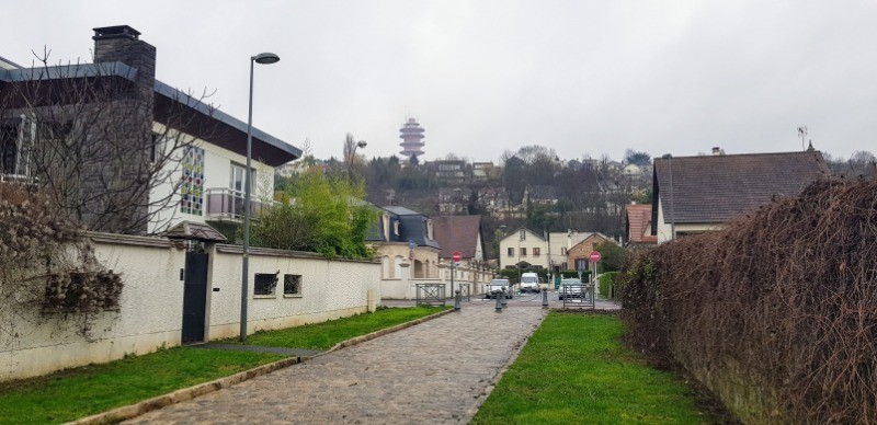
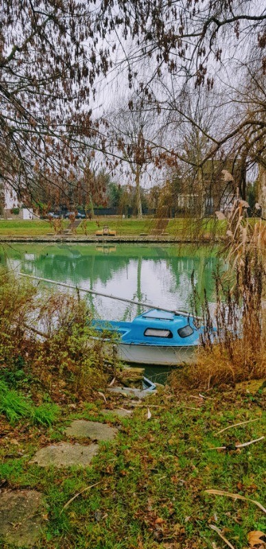
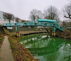
De très beaux points de vue depuis le haut de Chenevieres
 Actions
20 km

+159 m
/-165 m
04:31

Cliquez pour activer


Cliquez et déplacez la souris sur le profil pour analyser un tronçon (2 doigts sur mobile)
Détails
youtu.be/WmL7T0g3Jic Photos
Commentaires
Pas encore de commentaire, connectez-vous pour en ajouter un.
Connectez-vous pour ajouter un commentaire
Longueur et nombre de points

19.98 km

3852 pts
Denivelé et altitude
Calculés avec un seuil de 10 mètres et un lissage sur 5 points

158 m

165 m

157 m

76 m

119 m
Date et durée

11 janvier 2019
09:33

11 janvier 2019
15:21

05:48:18

04:31:57

01:16:21
Vitesses et denivelés horaires

4.4 km/h
Détail »

8.4 km/h
au km 5

184 m/h
0h31m55s

-170 m/h
0h25m03s
| km | Temps | Vitesse | Pause |
|---|
| 1 | 14'18" | 4.2 km/h | 02'19" |
| 2 | 13'35" | 4.4 km/h | |
| 3 | 11'00" | 5.5 km/h | |
| 4 | 11'52" | 5.1 km/h | 05'27" |
| 5 | 10'44" | 5.6 km/h | |
| 6 | 11'25" | 5.3 km/h | |
| 7 | 11'37" | 5.2 km/h | 11'41" |
| 8 | 11'22" | 5.3 km/h | |
| 9 | 11'21" | 5.3 km/h | |
| 10 | 12'23" | 4.8 km/h | |
| 11 | 15'51" | 3.8 km/h | 40'44" |
| 12 | 13'09" | 4.6 km/h | |
| 13 | 12'46" | 4.7 km/h | |
| 14 | 16'29" | 3.6 km/h | 04'44" |
| 15 | 21'23" | 2.8 km/h | |
| 16 | 16'02" | 3.7 km/h | |
| 17 | 14'43" | 4.1 km/h | |
| 18 | 13'24" | 4.5 km/h | 11'26" |
| 19 | 13'12" | 4.5 km/h | |
Dépense calorique (estimation)

327 Cal
72 Cal/h
Plus

Affichée 661 fois et téléchargée 44 fois depuis le 11.01.19 18:17
KME
22.1 kilomètres effort
Carte + Profil [Afficher un aperçu]
<iframe src="https://www.visugpx.com/VZuAh7g5Yb?iframe" allowfullscreen style="border: 0;width: 100%; height: 540px;" loading="lazy" scrolling="no"></iframe>
Carte uniquement [Afficher un aperçu]
<iframe src="https://www.visugpx.com/VZuAh7g5Yb?iframe&maponly" allowfullscreen style="border: 0;width: 100%; height: 540px;" loading="lazy" scrolling="no"></iframe>


 ForumsToposLes plus belles randosSegments
 Offre Premium
 Connexion


 51
51 74
74 14 [Légende]


