Sortie effectuée en Juin 2018 avec le Rando Club yerrois
Tracée et menée par Roland
 Actions
29.1 km

+255 m
/-282 m
05:56

Cliquez pour activer


Cliquez et déplacez la souris sur le profil pour analyser un tronçon (2 doigts sur mobile)
Détails
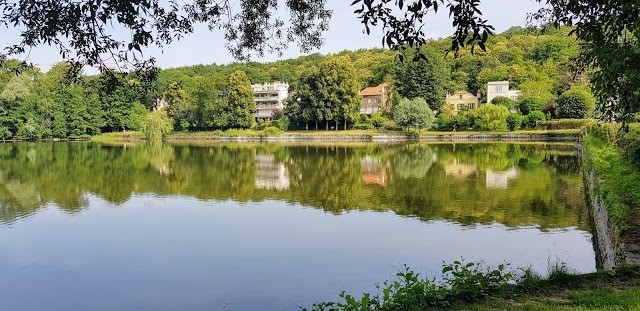
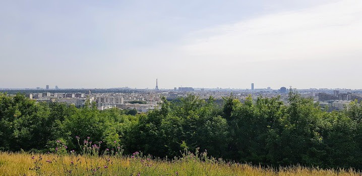
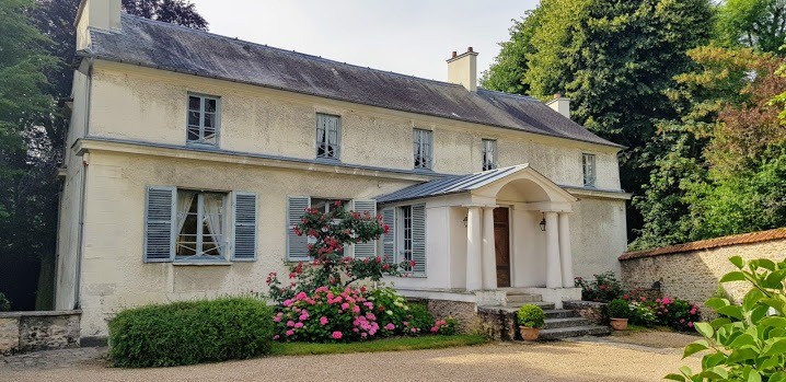
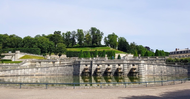
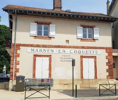
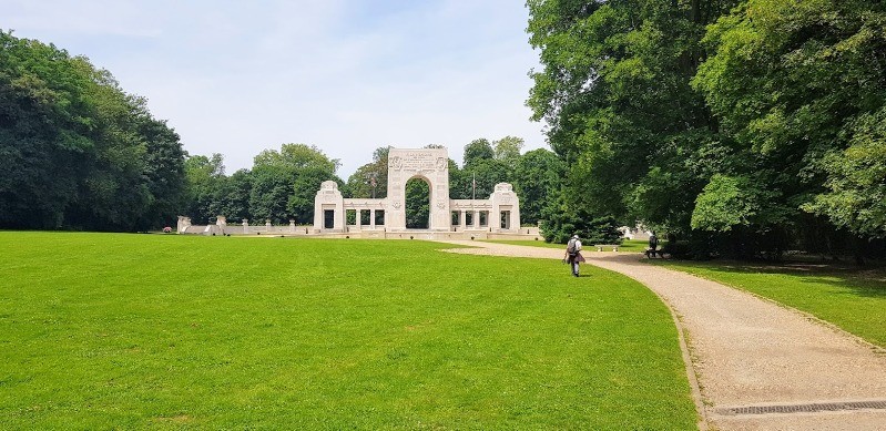
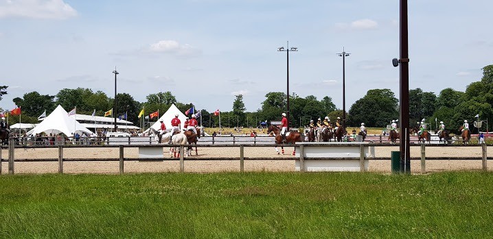
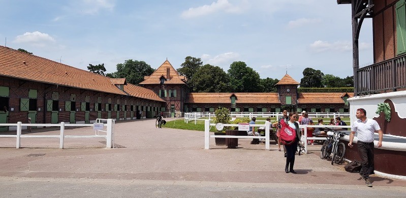
Des coins vraiment très pittoresques qui méritent le détour
relive
youtu.be/DSPtyEImEmU Photos
Commentaires
Pas encore de commentaire, connectez-vous pour en ajouter un.
Connectez-vous pour ajouter un commentaire
Longueur et nombre de points

29.08 km

5533 pts
Denivelé et altitude
Calculés avec un seuil de 10 mètres et un lissage sur 5 points

255 m

283 m

230 m

121 m

190 m
Date et durée

24 juin 2018
08:43

24 juin 2018
15:57

07:13:47

05:56:55

01:16:52
Vitesses et denivelés horaires

4.9 km/h
Détail »

9 km/h
au km 11.2

269 m/h
0h37m41s

-209 m/h
0h44m56s
| km | Temps | Vitesse | Pause |
|---|
| 1 | 10'30" | 5.7 km/h | |
| 2 | 09'40" | 6.2 km/h | |
| 3 | 12'50" | 4.7 km/h | |
| 4 | 12'15" | 4.9 km/h | |
| 5 | 12'35" | 4.8 km/h | |
| 6 | 13'05" | 4.6 km/h | |
| 7 | 13'45" | 4.4 km/h | |
| 8 | 15'21" | 3.9 km/h | 03'33" |
| 9 | 12'41" | 4.7 km/h | |
| 10 | 11'57" | 5 km/h | |
| 11 | 10'47" | 5.6 km/h | |
| 12 | 14'47" | 4.1 km/h | 06'04" |
| 13 | 13'33" | 4.4 km/h | |
| 14 | 10'57" | 5.5 km/h | |
| 15 | 10'20" | 5.8 km/h | |
| 16 | 12'17" | 4.9 km/h | 04'46" |
| 17 | 12'57" | 4.6 km/h | 03'19" |
| 18 | 11'59" | 5 km/h | |
| 19 | 19'06" | 3.1 km/h | 53'17" |
| 20 | 11'23" | 5.3 km/h | |
| 21 | 14'34" | 4.1 km/h | 03'51" |
| 22 | 11'05" | 5.4 km/h | |
| 23 | 11'48" | 5.1 km/h | |
| 24 | 10'42" | 5.6 km/h | |
| 25 | 10'01" | 6 km/h | |
| 26 | 11'05" | 5.4 km/h | 02'02" |
| 27 | 10'45" | 5.6 km/h | |
| 28 | 10'39" | 5.6 km/h | |
| 29 | 12'23" | 4.8 km/h | |
Dépense calorique (estimation)

569 Cal
96 Cal/h
Plus

Affichée 1274 fois et téléchargée 55 fois depuis le 07.04.20 15:25
KME
32.6 kilomètres effort
Carte + Profil [Afficher un aperçu]
<iframe src="https://www.visugpx.com/VNPaQPPSfa?iframe" allowfullscreen style="border: 0;width: 100%; height: 540px;" loading="lazy" scrolling="no"></iframe>
Carte uniquement [Afficher un aperçu]
<iframe src="https://www.visugpx.com/VNPaQPPSfa?iframe&maponly" allowfullscreen style="border: 0;width: 100%; height: 540px;" loading="lazy" scrolling="no"></iframe>


 ForumsToposLes plus belles randosSegments
 Offre Premium
 Connexion


 76
76 110
110 22 [Légende]


