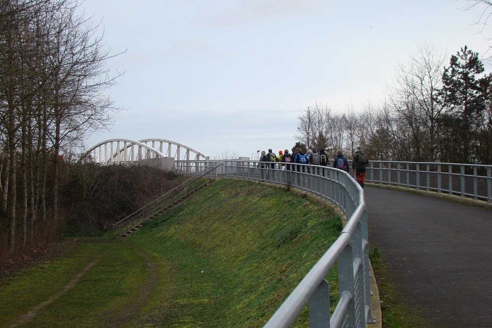
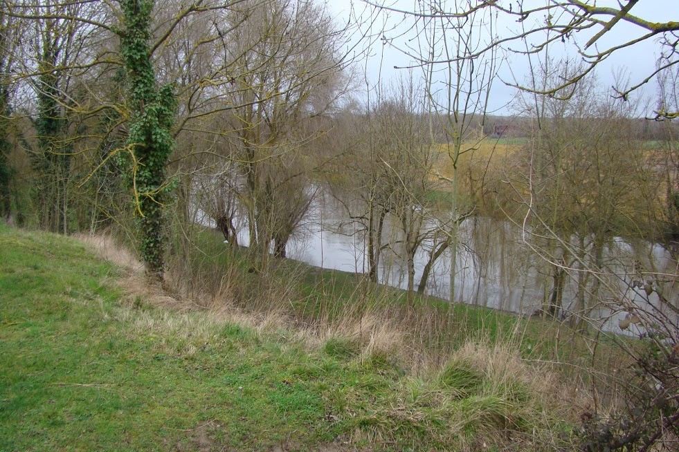
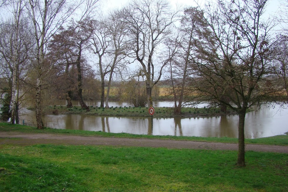
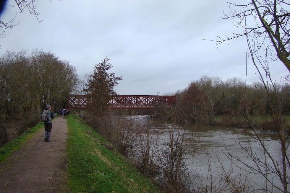
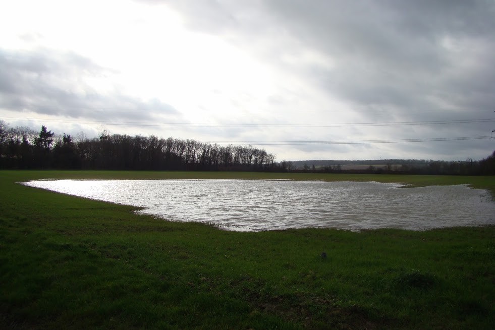
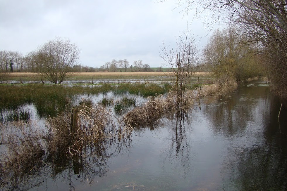
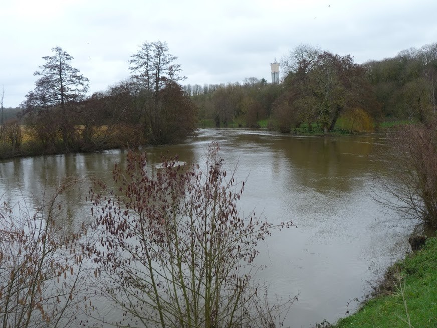
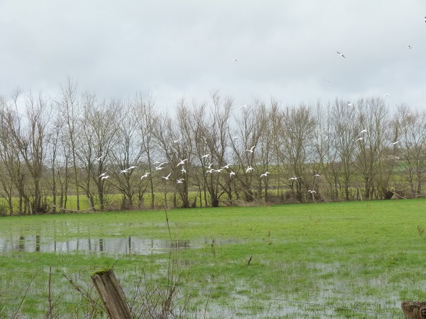
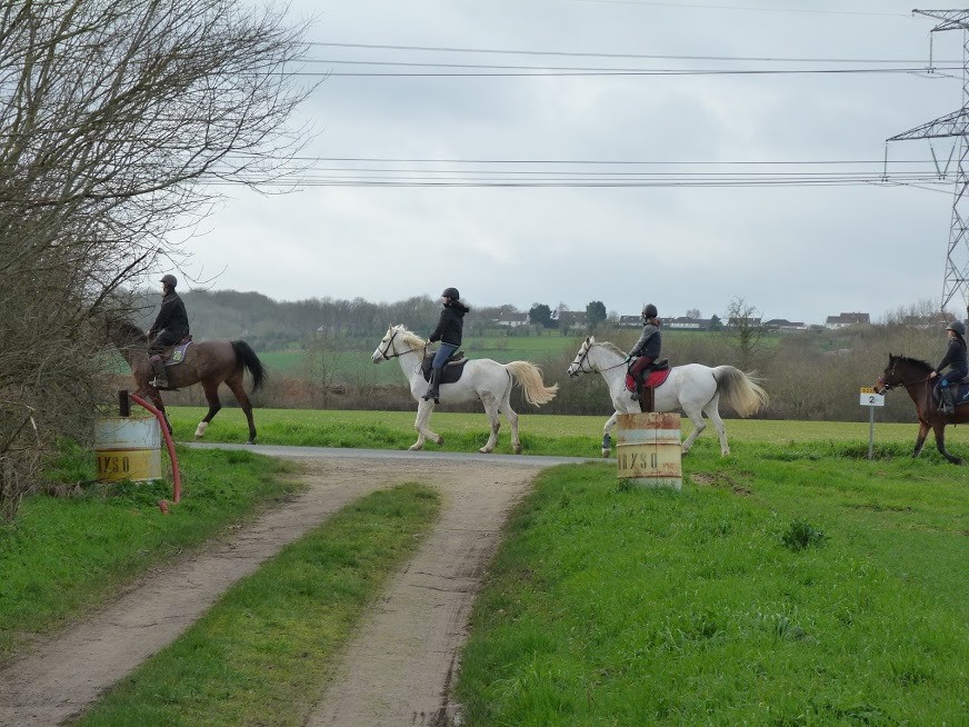
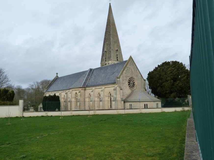
Randonnée pédestre au départ du parking de la mairie d'Ifs. Balade rurale et urbaine . Passage sur la voie verte de la Suisse Normande et le long de l'Orne qui traverse Caen avant de se jeter dans la mer de La Manche à Ouistreham.
 Actions
17.9 km

+252 m
/-248 m
03:43

Cliquez pour activer


Cliquez et déplacez la souris sur le profil pour analyser un tronçon (2 doigts sur mobile)
 Photos
Commentaires
Pas encore de commentaire, connectez-vous pour en ajouter un.
Connectez-vous pour ajouter un commentaire
Longueur et nombre de points

17.94 km

2541 pts
Denivelé et altitude
Calculés avec un seuil de 10 mètres et un lissage sur 5 points

252 m

249 m

46 m

-4 m

22 m
Date et durée

15 février 2020
09:00

15 février 2020
12:55

03:55:21

03:43:26

00:11:55
Vitesses et denivelés horaires

4.8 km/h
Détail »

75.9 km/h
au km 15.6

228 m/h
0h36m39s

-246 m/h
0h35m57s
| km | Temps | Vitesse | Pause |
|---|
| 1 | 13'30" | 4.4 km/h | |
| 2 | 13'05" | 4.6 km/h | |
| 3 | 12'06" | 5 km/h | |
| 4 | 12'08" | 4.9 km/h | |
| 5 | 12'42" | 4.7 km/h | |
| 6 | 12'38" | 4.8 km/h | |
| 7 | 13'12" | 4.5 km/h | |
| 8 | 11'47" | 5.1 km/h | |
| 9 | 12'35" | 4.8 km/h | |
| 10 | 12'48" | 4.7 km/h | 11'55" |
| 11 | 12'43" | 4.7 km/h | |
| 12 | 12'18" | 4.9 km/h | |
| 13 | 12'44" | 4.7 km/h | |
| 14 | 13'18" | 4.5 km/h | |
| 15 | 12'42" | 4.7 km/h | |
| 16 | 07'14" | 8.3 km/h | |
| 17 | 13'53" | 4.3 km/h | |
Dépense calorique (estimation)

457 Cal
123 Cal/h
Plus

Affichée 1373 fois et téléchargée 97 fois depuis le 07.04.20 15:25
KME
21.3 kilomètres effort
Carte + Profil [Afficher un aperçu]
<iframe src="https://www.visugpx.com/TwhYDjo4Cc?iframe" allowfullscreen style="border: 0;width: 100%; height: 540px;" loading="lazy" scrolling="no"></iframe>
Carte uniquement [Afficher un aperçu]
<iframe src="https://www.visugpx.com/TwhYDjo4Cc?iframe&maponly" allowfullscreen style="border: 0;width: 100%; height: 540px;" loading="lazy" scrolling="no"></iframe>


 ForumsToposLes plus belles randosSegments
 Offre Premium
 Connexion


 47
47 67
67 10 [Légende]


