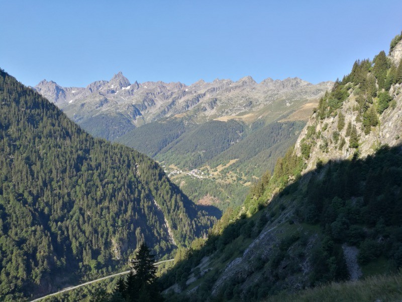
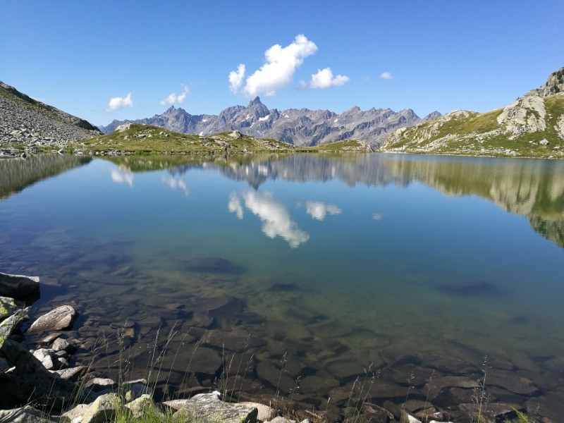
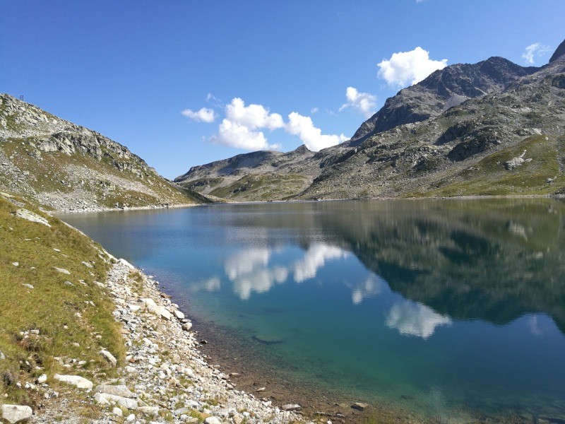
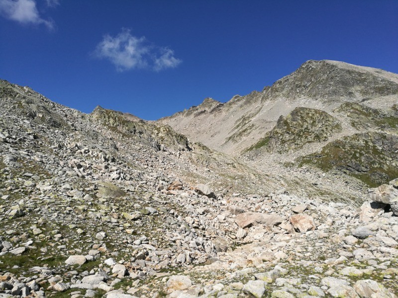
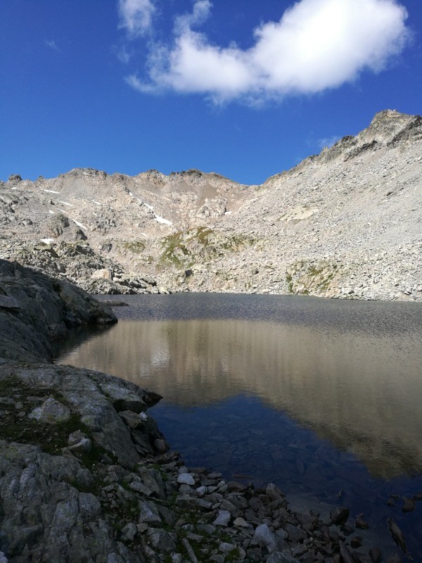
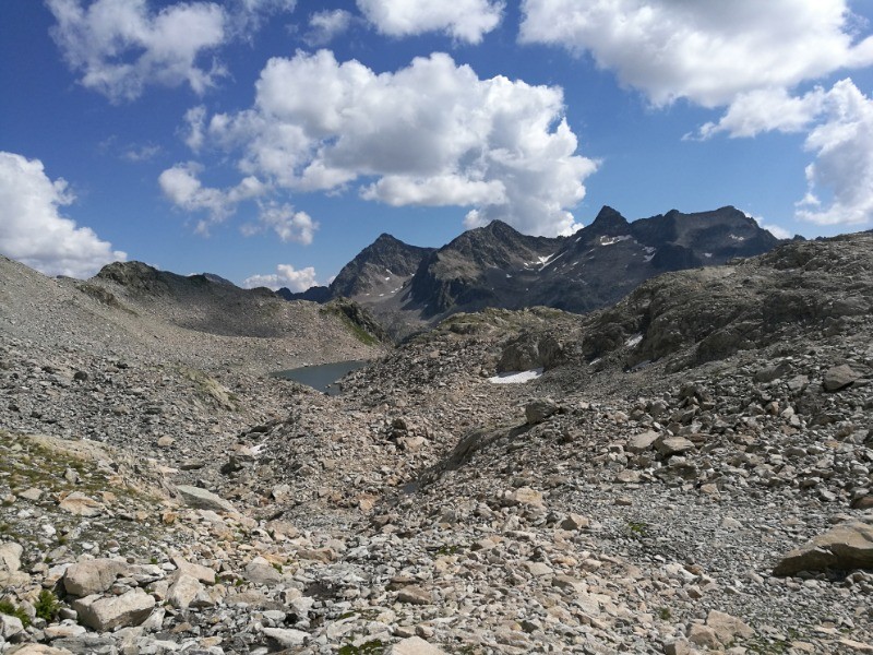
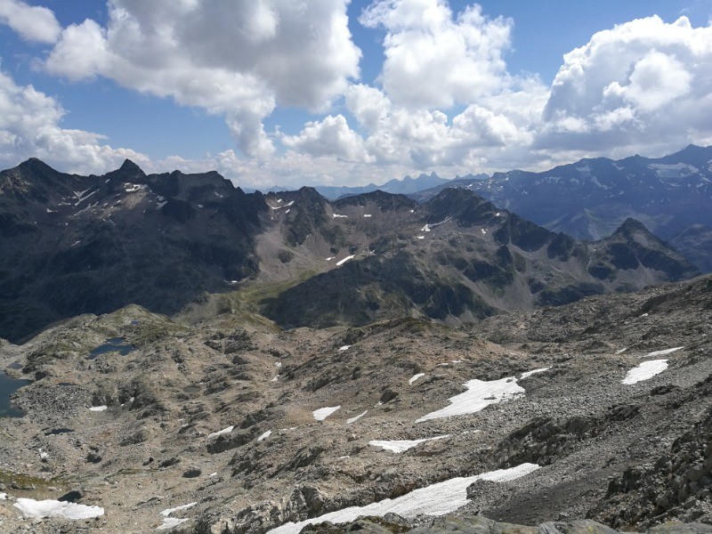
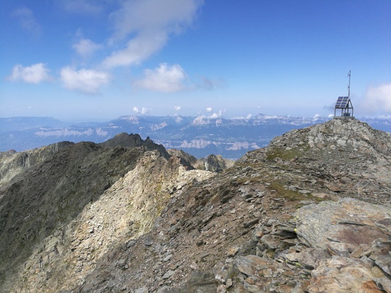
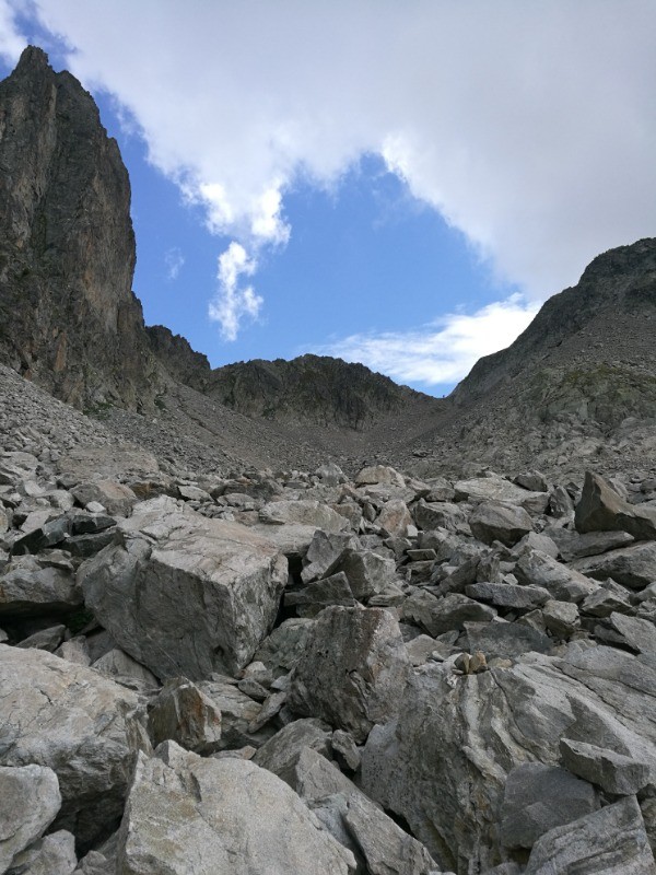
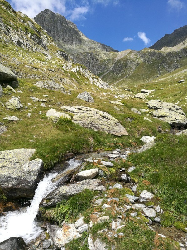
Belle boucle sportive depuis le Rivier d'Allemont, montant aux lacs des sept laux, puis au col de la vache. En bonus, le sommet du pic de la belle Etoile :)
 Actions
18.2 km

+1548 m
/-1550 m
06:25

Cliquez pour activer


Cliquez et déplacez la souris sur le profil pour analyser un tronçon (2 doigts sur mobile)
Détails
Attention, la montée au pic de la belle étoile et la traversée jusqu'au col de la vache est complètement hors sentier, en terrain "montagne"
 Photos
Commentaires
Pas encore de commentaire, connectez-vous pour en ajouter un.
Connectez-vous pour ajouter un commentaire
Longueur et nombre de points

18.15 km

847 pts
Denivelé et altitude
Calculés avec un seuil de 10 mètres et un lissage sur 5 points

1547 m

1550 m

2721 m

1256 m

1941 m
Date et durée

21 août 2018
09:07

21 août 2018
16:03

06:56:11

06:25:42

00:30:29
Vitesses et denivelés horaires

2.8 km/h
Détail »

6.3 km/h
au km 16.4

457 m/h
3h19m41s

-680 m/h
2h13m09s
| km | Temps | Vitesse | Pause |
|---|
| 1 | 27'36" | 2.2 km/h | |
| 2 | 39'38" | 1.5 km/h | |
| 3 | 26'10" | 2.3 km/h | |
| 4 | 17'02" | 3.5 km/h | |
| 5 | 17'40" | 3.4 km/h | |
| 6 | 29'54" | 2 km/h | |
| 7 | 26'45" | 2.2 km/h | |
| 8 | 33'20" | 1.8 km/h | 15'17" |
| 9 | 27'39" | 2.2 km/h | 03'51" |
| 10 | 29'45" | 2 km/h | 02'58" |
| 11 | 18'12" | 3.3 km/h | |
| 12 | 14'02" | 4.3 km/h | 08'23" |
| 13 | 17'29" | 3.4 km/h | |
| 14 | 13'40" | 4.4 km/h | |
| 15 | 11'44" | 5.1 km/h | |
| 16 | 12'02" | 5 km/h | |
| 17 | 10'28" | 5.7 km/h | |
| 18 | 10'35" | 5.7 km/h | |
Dépense calorique (estimation)

1402 Cal
218 Cal/h
Plus

Affichée 2101 fois et téléchargée 73 fois depuis le 07.04.20 15:25
KME
38.8 kilomètres effort
Carte + Profil [Afficher un aperçu]
<iframe src="https://www.visugpx.com/TYYHP71RDz?iframe" allowfullscreen style="border: 0;width: 100%; height: 540px;" loading="lazy" scrolling="no"></iframe>
Carte uniquement [Afficher un aperçu]
<iframe src="https://www.visugpx.com/TYYHP71RDz?iframe&maponly" allowfullscreen style="border: 0;width: 100%; height: 540px;" loading="lazy" scrolling="no"></iframe>

 ForumsToposLes plus belles randosSegments
 Offre Premium
 Connexion


 176
176 435
435 213 [Légende]


