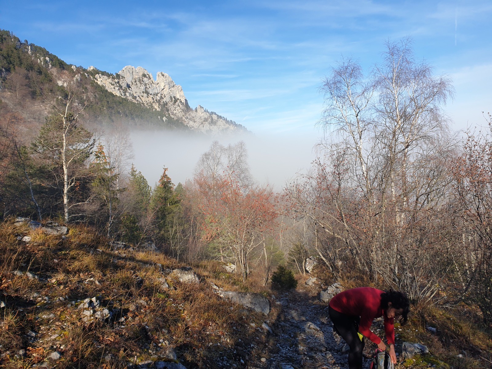
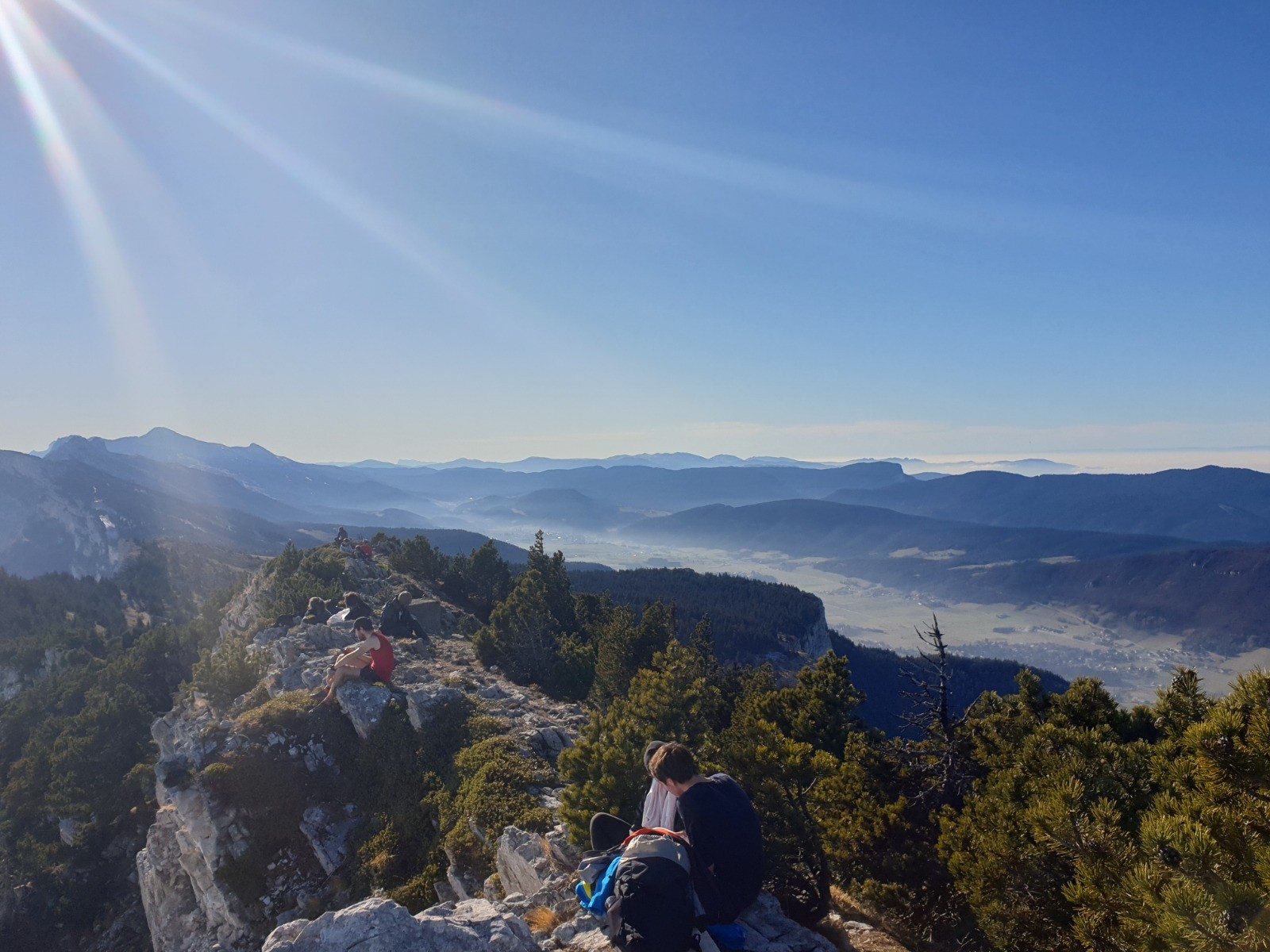
Au départ de feu le tremplin de
St Nizier du Moucherotte (R3).
Suivre le
Sentier de la Vie en direction de
Château Bouvier. Passage cablé délicat si humide entre la
Grotte Vallier et
Château Bouvier. Au dessus, il faut parfois mettre les mains.
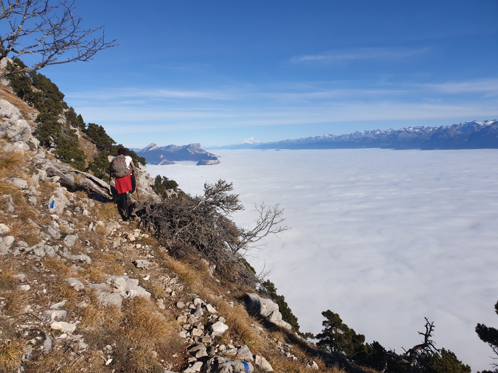
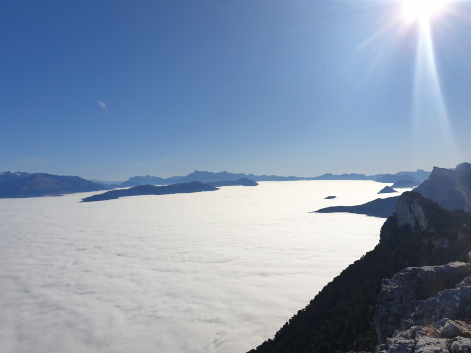
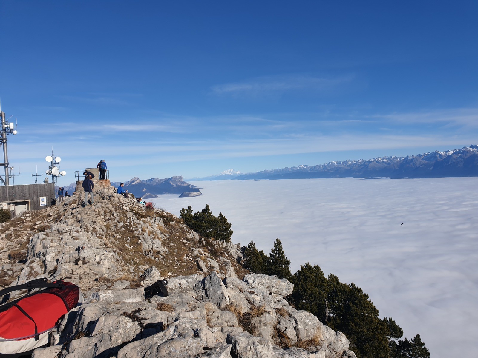
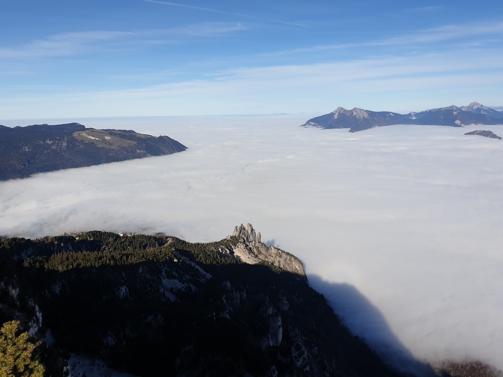
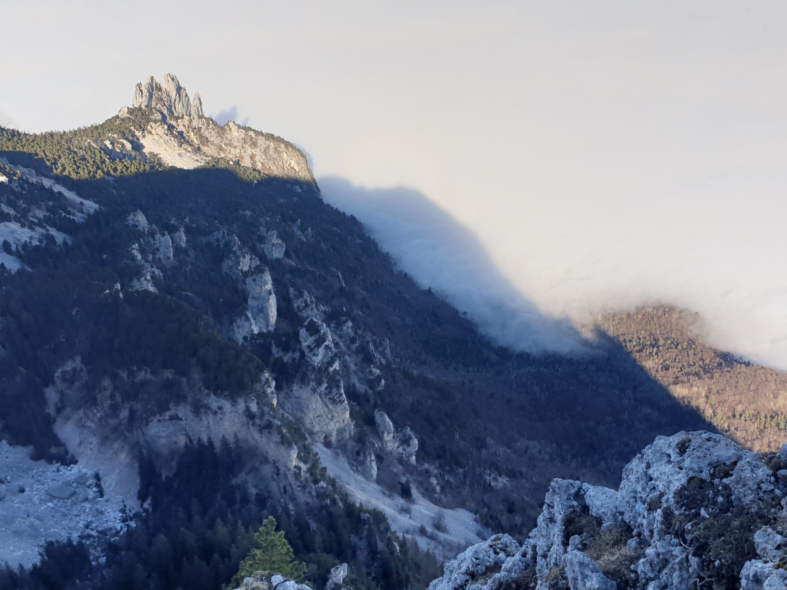
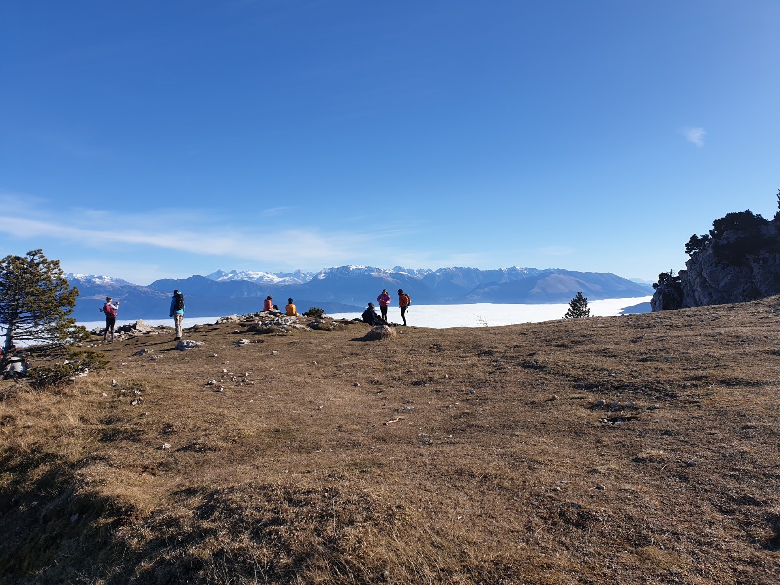
Du sommet , redescendre par la voie normale jusque l'altitude 1300 et suivre la petite sente qui descend directement au point de départ.
.
Autres sorties dans le Vercors -->
www.visugpx.com/membres/87/vercors/ Actions
7.8 km

+839 m
/-831 m
02:35

Cliquez pour activer


Cliquez et déplacez la souris sur le profil pour analyser un tronçon (2 doigts sur mobile)
 Photos
Commentaires
Pas encore de commentaire, connectez-vous pour en ajouter un.
Connectez-vous pour ajouter un commentaire
Longueur et nombre de points

7.83 km

365 pts

2 marqueurs
Denivelé et altitude
Calculés avec un seuil de 10 mètres et un lissage sur 5 points

838 m

832 m

1889 m

1060 m

1415 m
Date et durée

29 novembre 2020
11:08

29 novembre 2020
14:11

03:02:06

02:35:50

00:26:16
Vitesses et denivelés horaires

3 km/h
Détail »

8.6 km/h
au km 0.3

512 m/h
1h34m46s

-891 m/h
0h53m52s
| km | Temps | Vitesse | Pause |
|---|
| 1 | 13'07" | 4.6 km/h | |
| 2 | 18'38" | 3.2 km/h | |
| 3 | 34'45" | 1.7 km/h | 09'14" |
| 4 | 41'27" | 1.4 km/h | 17'02" |
| 5 | 09'59" | 6 km/h | |
| 6 | 11'44" | 5.1 km/h | |
| 7 | 14'03" | 4.3 km/h | |
Dépense calorique (estimation)

690 Cal
266 Cal/h
Plus

Affichée 920 fois et téléchargée 69 fois depuis le 29.11.20 22:10
Carte + Profil [Afficher un aperçu]
<iframe src="https://www.visugpx.com/QekpPRmMyq?iframe" allowfullscreen style="border: 0;width: 100%; height: 540px;" loading="lazy" scrolling="no"></iframe>
Carte uniquement [Afficher un aperçu]
<iframe src="https://www.visugpx.com/QekpPRmMyq?iframe&maponly" allowfullscreen style="border: 0;width: 100%; height: 540px;" loading="lazy" scrolling="no"></iframe>


 ForumsToposLes plus belles randosSegments
 Offre Premium
 Connexion


 96
96 236
236 86 [Légende]


