Rando de RandoOxygene : https://randoxygene.departement06.fr/vesubie/foret-de-la-mairis-9378.html
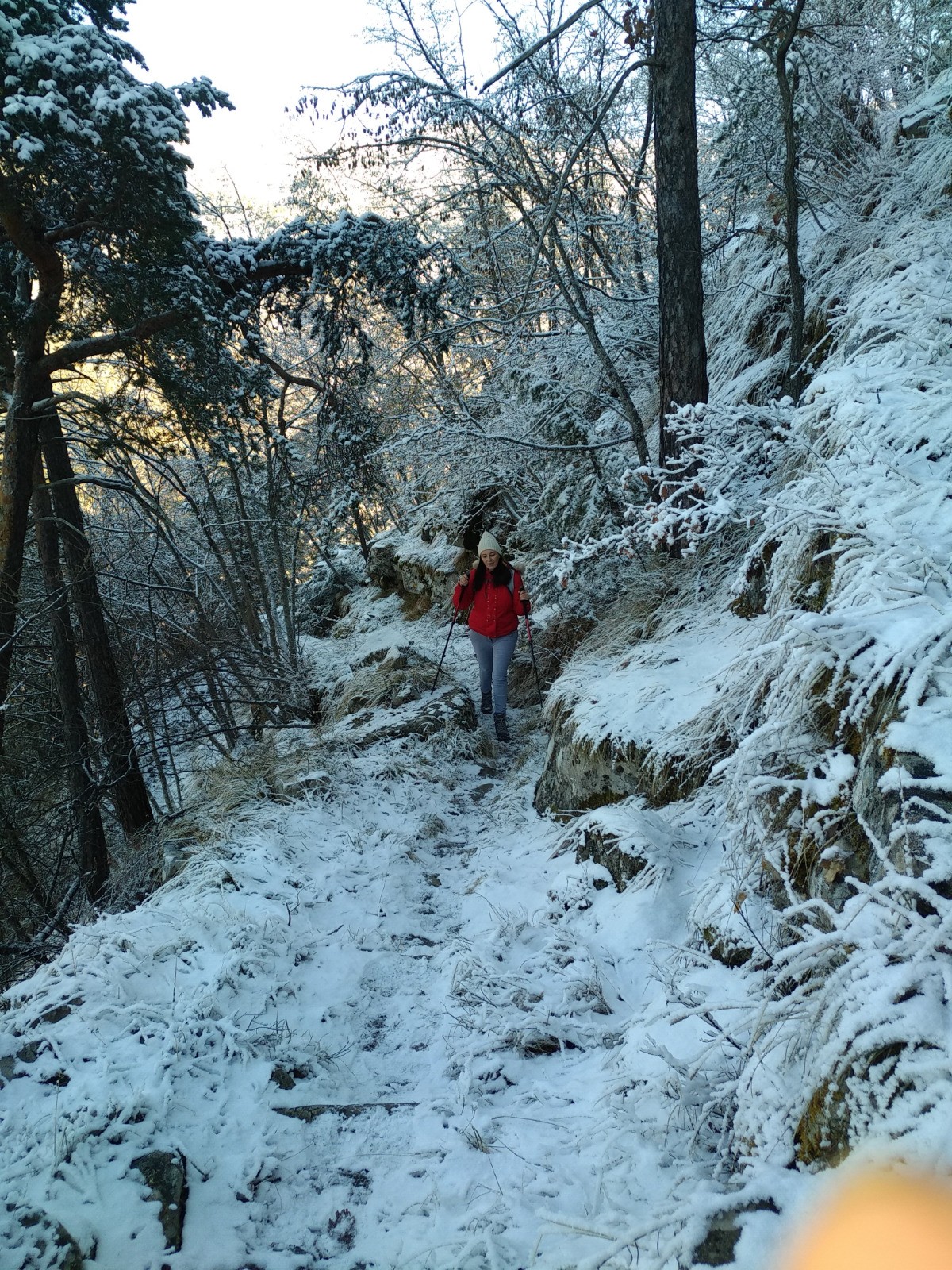
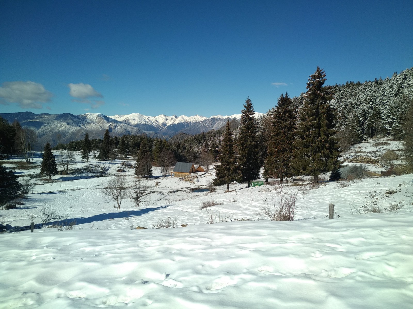
En hivers la neige a rendu la montée et la descente, très techniques, avec des passages où il faut rester concentré. Les paysages blancs étaient magnifiques !
 Actions
13.4 km

+776 m
/-780 m
05:38

Cliquez pour activer


Cliquez et déplacez la souris sur le profil pour analyser un tronçon (2 doigts sur mobile)
 Photos
Commentaires
Pas encore de commentaire, connectez-vous pour en ajouter un.
Connectez-vous pour ajouter un commentaire
Longueur et nombre de points

13.35 km

1454 pts
Denivelé et altitude
Calculés avec un seuil de 10 mètres et un lissage sur 5 points

776 m

781 m

1509 m

729 m

1108 m
Date et durée

14 février 2021
10:16

14 février 2021
17:05

06:49:23

05:38:25

01:10:58
Vitesses et denivelés horaires

2.4 km/h
Détail »

4.9 km/h
au km 12.4

268 m/h
2h51m22s

-325 m/h
2h21m36s
| km | Temps | Vitesse | Pause |
|---|
| 1 | 28'34" | 2.1 km/h | 01'47" |
| 2 | 36'06" | 1.7 km/h | 13'39" |
| 3 | 25'10" | 2.4 km/h | 10'31" |
| 4 | 32'31" | 1.8 km/h | 27'44" |
| 5 | 23'53" | 2.5 km/h | 03'41" |
| 6 | 24'40" | 2.4 km/h | |
| 7 | 15'29" | 3.9 km/h | |
| 8 | 20'00" | 3 km/h | 01'52" |
| 9 | 39'08" | 1.5 km/h | 02'11" |
| 10 | 30'34" | 2 km/h | 02'11" |
| 11 | 24'57" | 2.4 km/h | 07'22" |
| 12 | 16'48" | 3.6 km/h | |
| 13 | 14'17" | 4.2 km/h | |
Dépense calorique (estimation)

609 Cal
108 Cal/h
Plus

Affichée 971 fois et téléchargée 48 fois depuis le 14.02.21 18:18
KME
23.7 kilomètres effort
Carte + Profil [Afficher un aperçu]
<iframe src="https://www.visugpx.com/PezDjSzxpv?iframe" allowfullscreen style="border: 0;width: 100%; height: 540px;" loading="lazy" scrolling="no"></iframe>
Carte uniquement [Afficher un aperçu]
<iframe src="https://www.visugpx.com/PezDjSzxpv?iframe&maponly" allowfullscreen style="border: 0;width: 100%; height: 540px;" loading="lazy" scrolling="no"></iframe>


 ForumsToposLes plus belles randosSegments
 Offre Premium
 Connexion


 80
80 177
177 109 [Légende]


