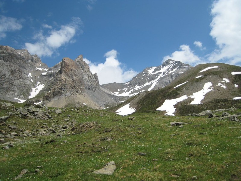
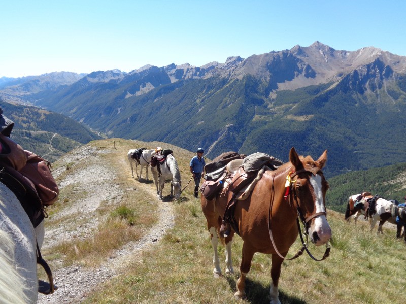
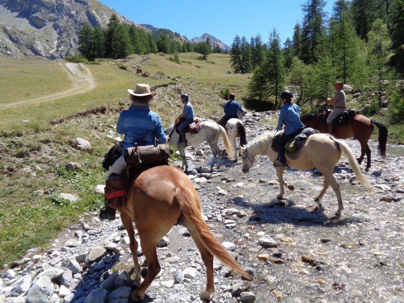
Boucle au départ de l'embranchement de St Ours. Possibilité de monter au village mais route difficile et peu de place de parking!!!
Grosse journée et passage délicat avant le col de Mirandol.
 Actions
19.3 km

+1196 m
/-1186 m
06:46

Cliquez pour activer


Cliquez et déplacez la souris sur le profil pour analyser un tronçon (2 doigts sur mobile)
 Photos
Commentaires
Pas encore de commentaire, connectez-vous pour en ajouter un.
Connectez-vous pour ajouter un commentaire
Longueur et nombre de points

19.33 km

204 pts
Denivelé et altitude
Calculés avec un seuil de 10 mètres et un lissage sur 3 points (corrigé car densité de points faible)

1195 m

1186 m

2517 m

1806 m

2171 m
Date et durée

27 juillet 2017
22:01

28 juillet 2017
04:47

06:46:00
Vitesses et denivelés horaires

2.9 km/h
Détail »

7.9 km/h
au km 4

421 m/h
2h48m00s

-334 m/h
3h26m00s
| km | Temps | Vitesse | Pause |
|---|
| 1 | 20'15" | 3 km/h | |
| 2 | 21'54" | 2.7 km/h | |
| 3 | 21'12" | 2.8 km/h | |
| 4 | 19'19" | 3.1 km/h | |
| 5 | 18'43" | 3.2 km/h | |
| 6 | 21'29" | 2.8 km/h | |
| 7 | 17'58" | 3.3 km/h | |
| 8 | 33'40" | 1.8 km/h | |
| 9 | 21'56" | 2.7 km/h | |
| 10 | 25'39" | 2.3 km/h | |
| 11 | 21'19" | 2.8 km/h | |
| 12 | 28'10" | 2.1 km/h | |
| 13 | 17'48" | 3.4 km/h | |
| 14 | 19'47" | 3 km/h | |
| 15 | 18'07" | 3.3 km/h | |
| 16 | 21'15" | 2.8 km/h | |
| 17 | 20'33" | 2.9 km/h | |
| 18 | 18'24" | 3.3 km/h | |
| 19 | 14'24" | 4.2 km/h | |
Plus

Affichée 1060 fois et téléchargée 50 fois depuis le 07.04.20 15:25
Carte + Profil [Afficher un aperçu]
<iframe src="https://www.visugpx.com/PEmroOKI6j?iframe" allowfullscreen style="border: 0;width: 100%; height: 540px;" loading="lazy" scrolling="no"></iframe>
Carte uniquement [Afficher un aperçu]
<iframe src="https://www.visugpx.com/PEmroOKI6j?iframe&maponly" allowfullscreen style="border: 0;width: 100%; height: 540px;" loading="lazy" scrolling="no"></iframe>

 ForumsToposLes plus belles randosSegments
 Offre Premium
 Connexion


 149
149 336
336 182 [Légende]


