au départ de Sorbiers, quartier du Moulin GILLIER, direction la vallée du Gier.
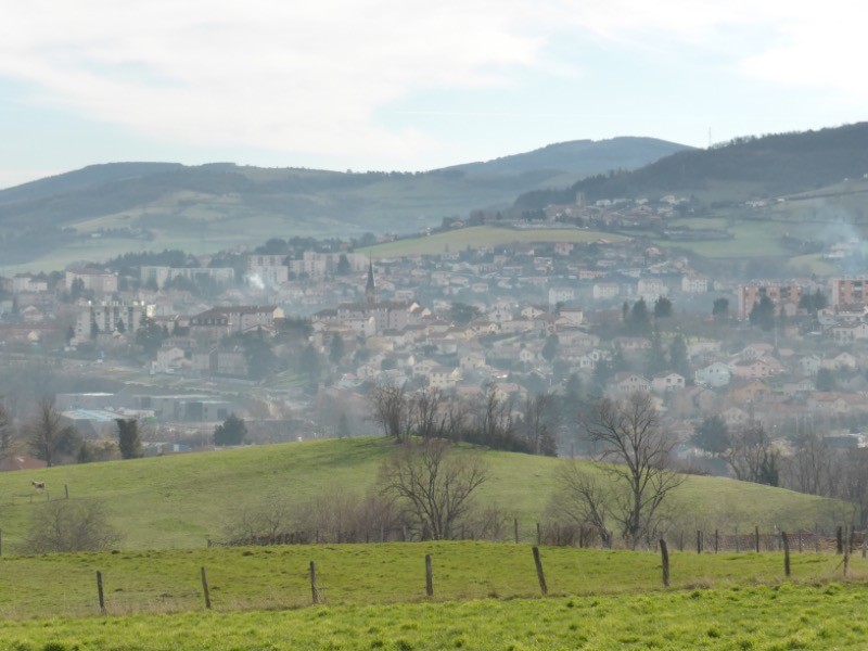
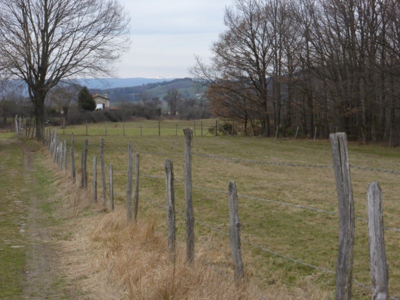
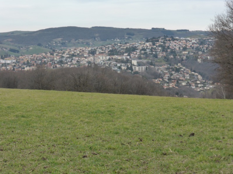
Balade facile, sur une partie de la variante du GR7 belles vues sur le Pilat: saut du Gier et par très beau temps comme en ce jour sur le Mont Blanc ainsi que sur les Monts du Forez
 Actions
10 km

+269 m/-270 m

02:30

Cliquez pour activer


Cliquez et déplacez la souris sur le profil pour analyser un tronçon (2 doigts sur mobile)
 Photos
Commentaires
Pas encore de commentaire, connectez-vous pour en ajouter un.
Connectez-vous pour ajouter un commentaire
Longueur et nombre de points

10.19 km

556 pts
Denivelé et altitude
Calculés avec un seuil de 10 mètres et un lissage sur 5 points

268 m

271 m

597 m

408 m

509 m
Date et durée

23 février 2017
08:59

23 février 2017
11:47

02:48:15

02:28:58

00:19:17
Vitesses et denivelés horaires

4.1 km/h
Détail »

5.2 km/h
au km 6.5

282 m/h
0h53m18s

-270 m/h
0h55m48s
| km | Temps | Vitesse | Pause |
|---|
| 1 | 15'07" | 4 km/h | |
| 2 | 15'27" | 3.9 km/h | |
| 3 | 13'32" | 4.4 km/h | |
| 4 | 14'05" | 4.3 km/h | |
| 5 | 14'27" | 4.2 km/h | |
| 6 | 15'17" | 3.9 km/h | 01'46" |
| 7 | 15'07" | 4 km/h | |
| 8 | 16'09" | 3.7 km/h | 17'31" |
| 9 | 13'36" | 4.4 km/h | |
| 10 | 13'43" | 4.4 km/h | |
Dépense calorique (estimation)

319 Cal
128 Cal/h
Plus

Affichée 2266 fois et téléchargée 269 fois depuis le 07.04.20 15:25
Carte + Profil [Afficher un aperçu]
<iframe src="https://www.visugpx.com/LHnIEKoqsn?iframe" allowfullscreen style="border: 0;width: 100%; height: 540px;" scrolling="no"></iframe>
Carte uniquement [Afficher un aperçu]
<iframe src="https://www.visugpx.com/LHnIEKoqsn?iframe&maponly" allowfullscreen style="border: 0;width: 100%; height: 540px;" scrolling="no"></iframe>

Nous avons pris en compte votre choix.
Vous souhaitez maîtriser les informations qui peuvent être recueillies lors de votre navigation et avez refusé les cookies de personnalisation des annonces, c'est légitime.
Parce que le service fourni par VisuGPX a un coût, accepteriez-vous quand même que nous utilisions des cookies pour vous présenter des annonces non personnalisées ? Ces cookies ne sont pas des cookies de tracking mais de simples des cookies techniques de diffusion qui garantissent le respect votre vie privée.


 Actions
  10 km
10 km +269 m/-270 m
 02:30
02:30

 Cliquez et déplacez la souris sur le profil pour analyser un tronçon (2 doigts sur mobile)


 40
40 70
70 21 [Légende]
 Pour soutenir VisuGPX, faites le bon choix