Sortie effectuée avec le Rando Club Yerrois en Juillet 2017
Pas de difficultés particulières mais de belles grimpettes
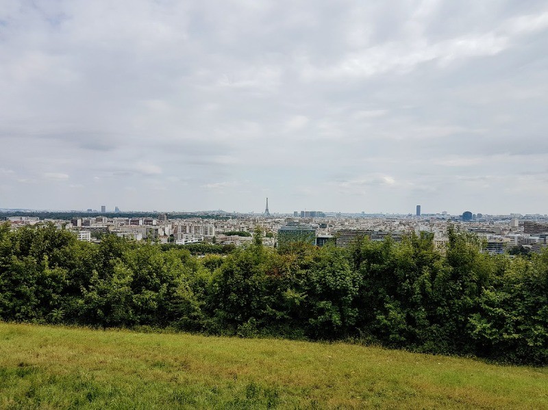
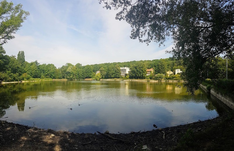
Magnifiques vues sur Paris depuis le Parc
Animateur : Pascal sous tutorat Roland
 Actions
20 km

+247 m
/-255 m
04:59

Cliquez pour activer


Cliquez et déplacez la souris sur le profil pour analyser un tronçon (2 doigts sur mobile)
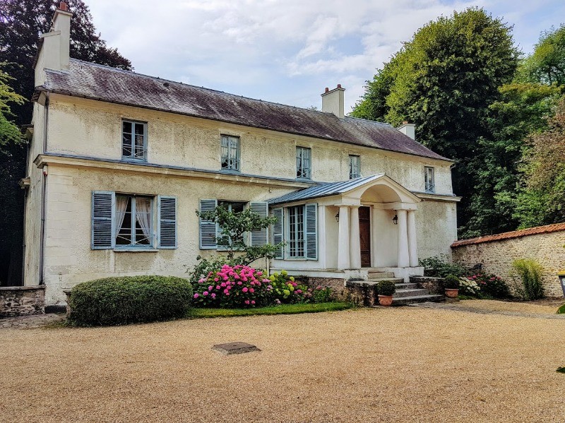
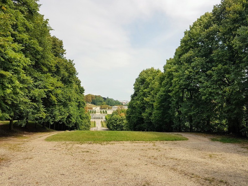
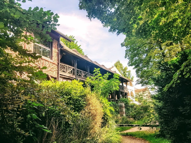
 Photos
Commentaires
Pas encore de commentaire, connectez-vous pour en ajouter un.
Connectez-vous pour ajouter un commentaire
Longueur et nombre de points

20.01 km

1489 pts
Denivelé et altitude
Calculés avec un seuil de 10 mètres et un lissage sur 5 points

246 m

256 m

219 m

117 m

173 m
Date et durée

26 juillet 2017
09:54

26 juillet 2017
15:58

06:03:56

04:59:43

01:04:13
Vitesses et denivelés horaires

4 km/h
Détail »

7 km/h
au km 8.1

231 m/h
0h49m22s

-197 m/h
0h51m45s
| km | Temps | Vitesse | Pause |
|---|
| 1 | 14'16" | 4.2 km/h | |
| 2 | 14'08" | 4.2 km/h | |
| 3 | 15'15" | 3.9 km/h | |
| 4 | 15'43" | 3.8 km/h | 03'11" |
| 5 | 14'52" | 4 km/h | 12'00" |
| 6 | 16'04" | 3.7 km/h | |
| 7 | 14'41" | 4.1 km/h | |
| 8 | 11'55" | 5 km/h | |
| 9 | 17'36" | 3.4 km/h | 33'40" |
| 10 | 18'54" | 3.2 km/h | |
| 11 | 12'58" | 4.6 km/h | |
| 12 | 13'07" | 4.6 km/h | |
| 13 | 16'37" | 3.6 km/h | |
| 14 | 17'38" | 3.4 km/h | 05'54" |
| 15 | 12'49" | 4.7 km/h | 05'34" |
| 16 | 13'42" | 4.4 km/h | |
| 17 | 15'34" | 3.9 km/h | |
| 18 | 12'54" | 4.6 km/h | |
| 19 | 14'50" | 4 km/h | 03'54" |
| 20 | 15'35" | 3.9 km/h | |
Dépense calorique (estimation)

377 Cal
75 Cal/h
Plus

Affichée 1039 fois et téléchargée 71 fois depuis le 07.04.20 15:25
KME
23.3 kilomètres effort
Carte + Profil [Afficher un aperçu]
<iframe src="https://www.visugpx.com/LBinDSlBwl?iframe" allowfullscreen style="border: 0;width: 100%; height: 540px;" loading="lazy" scrolling="no"></iframe>
Carte uniquement [Afficher un aperçu]
<iframe src="https://www.visugpx.com/LBinDSlBwl?iframe&maponly" allowfullscreen style="border: 0;width: 100%; height: 540px;" loading="lazy" scrolling="no"></iframe>


 ForumsToposLes plus belles randosSegments
 Offre Premium
 Connexion


 55
55 83
83 20 [Légende]


