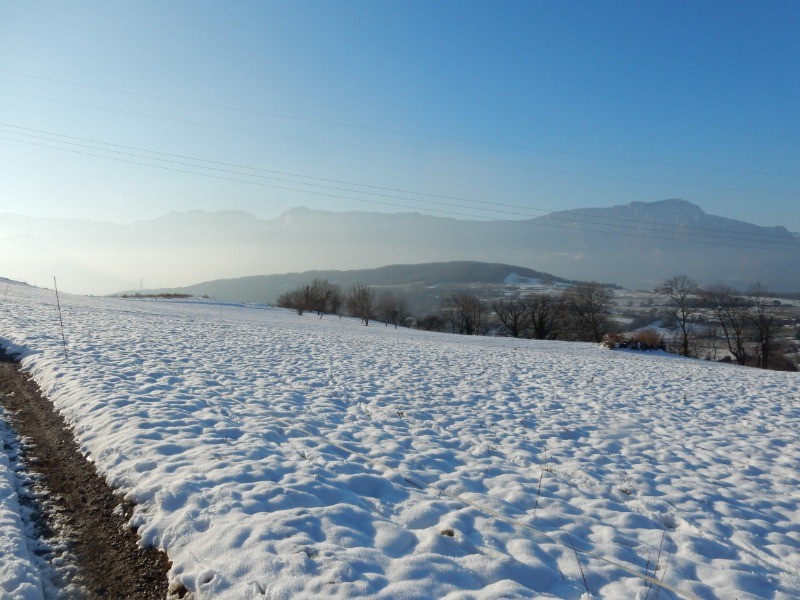
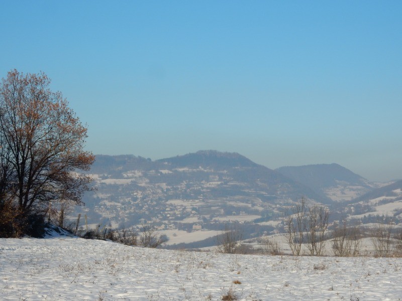
Départ N 45°05'09.59'' E 5°44'41.70'' Basse Jarrie (285m)
Carte IGN 3335 OT Grenoble Chamrousse-Belledonne
Montchaboud depuis Basse Jarrie boucle par Les Chaberts-la Combe-Bois Palléine-Montchaboud-Croix de la Vue
Distance 10000 m- D 390m- Temps 4 h 00 env.
 Actions
10 km

+400 m/-401 m

±03:30

Cliquez pour activer

Cliquez et déplacez la souris sur le profil pour analyser un tronçon (2 doigts sur mobile)
 Photos
Commentaires
Pas encore de commentaire, connectez-vous pour en ajouter un.
Connectez-vous pour ajouter un commentaire
Longueur et nombre de points

10.01 km

577 pts
Denivelé et altitude
Calculés avec un seuil de 5 mètres et un lissage sur 5 points

400 m

402 m

586 m

283 m

416 m
Plus

Affichée 888 fois et téléchargée 42 fois depuis le 06.12.17 15:01
Carte + Profil [Afficher un aperçu]
<iframe src="https://www.visugpx.com/KN6uKzIn6y?iframe" allowfullscreen style="border: 0;width: 100%; height: 540px;" scrolling="no"></iframe>
Carte uniquement [Afficher un aperçu]
<iframe src="https://www.visugpx.com/KN6uKzIn6y?iframe&maponly" allowfullscreen style="border: 0;width: 100%; height: 540px;" scrolling="no"></iframe>

Nous avons pris en compte votre choix.
Vous souhaitez maîtriser les informations qui peuvent être recueillies lors de votre navigation et avez refusé les cookies de personnalisation des annonces, c'est légitime.
Parce que le service fourni par VisuGPX a un coût, accepteriez-vous quand même que nous utilisions des cookies pour vous présenter des annonces non personnalisées ? Ces cookies ne sont pas des cookies de tracking mais de simples des cookies techniques de diffusion qui garantissent le respect votre vie privée.


 Actions
  10 km
10 km +400 m/-401 m
 ±03:30
 Cliquez et déplacez la souris sur le profil pour analyser un tronçon (2 doigts sur mobile)


 52
52 104
104 54 [Légende]
 Pour soutenir VisuGPX, faites le bon choix