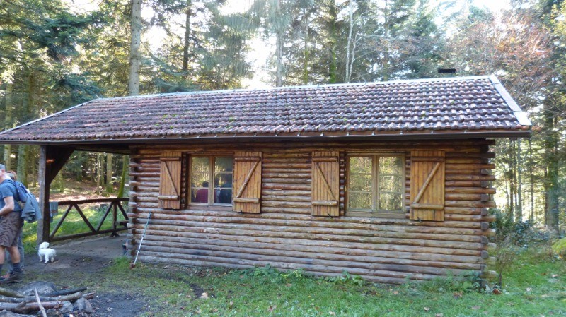
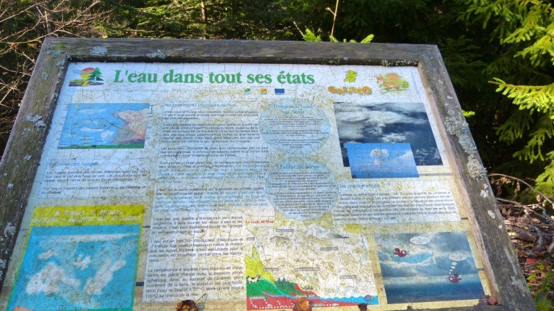
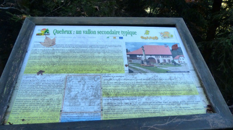
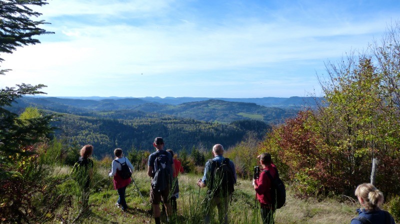
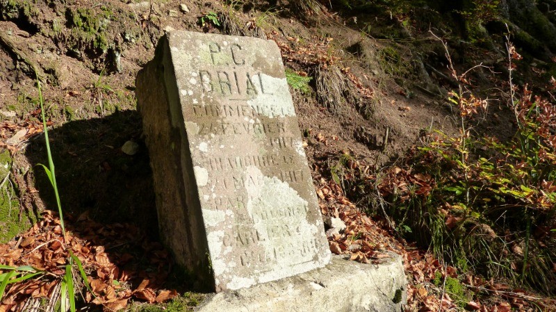
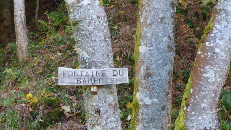
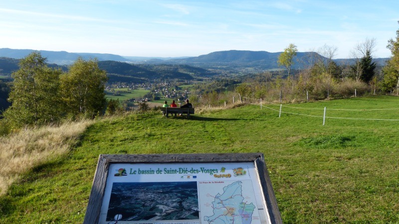
La Rabourate. Chalet du Gros Sapin, Fontaine Michor, Borne poste commandement Brial, le Banbois, Sorémont point de vue
 Actions
9.1 km

+323 m
/-339 m
02:44

Cliquez pour activer


Cliquez et déplacez la souris sur le profil pour analyser un tronçon (2 doigts sur mobile)
 Photos
Commentaires

Par
Dani88 le 27.10.17 14:17
Claude un assidu des traces comme moi, fait-il partie d'un Club de chez nous Club Vosgien ou autre ?; Daniel de St Dié
Connectez-vous pour ajouter un commentaire
Longueur et nombre de points

9.11 km

783 pts
Denivelé et altitude
Calculés avec un seuil de 10 mètres et un lissage sur 5 points

322 m

339 m

845 m

591 m

737 m
Date et durée

26 octobre 2017
13:55

26 octobre 2017
17:14

03:18:58

02:44:54

00:34:04
Vitesses et denivelés horaires

3.3 km/h
Détail »

6 km/h
au km 6.7

265 m/h
1h07m08s

-338 m/h
0h53m26s
| km | Temps | Vitesse | Pause |
|---|
| 1 | 14'42" | 4.1 km/h | 03'13" |
| 2 | 27'40" | 2.2 km/h | |
| 3 | 19'26" | 3.1 km/h | 13'43" |
| 4 | 18'56" | 3.2 km/h | 05'30" |
| 5 | 16'40" | 3.6 km/h | 04'33" |
| 6 | 18'04" | 3.3 km/h | |
| 7 | 15'48" | 3.8 km/h | 04'24" |
| 8 | 15'22" | 3.9 km/h | 02'41" |
| 9 | 16'13" | 3.7 km/h | |
Dépense calorique (estimation)

324 Cal
118 Cal/h
Plus

Affichée 1795 fois et téléchargée 125 fois depuis le 07.04.20 15:25
KME
13.5 kilomètres effort
Carte + Profil [Afficher un aperçu]
<iframe src="https://www.visugpx.com/Jk3iwwQeL0?iframe" allowfullscreen style="border: 0;width: 100%; height: 540px;" loading="lazy" scrolling="no"></iframe>
Carte uniquement [Afficher un aperçu]
<iframe src="https://www.visugpx.com/Jk3iwwQeL0?iframe&maponly" allowfullscreen style="border: 0;width: 100%; height: 540px;" loading="lazy" scrolling="no"></iframe>

 ForumsToposLes plus belles randosSegments
 Offre Premium
 Connexion


 42
42 79
79 30 [Légende]


