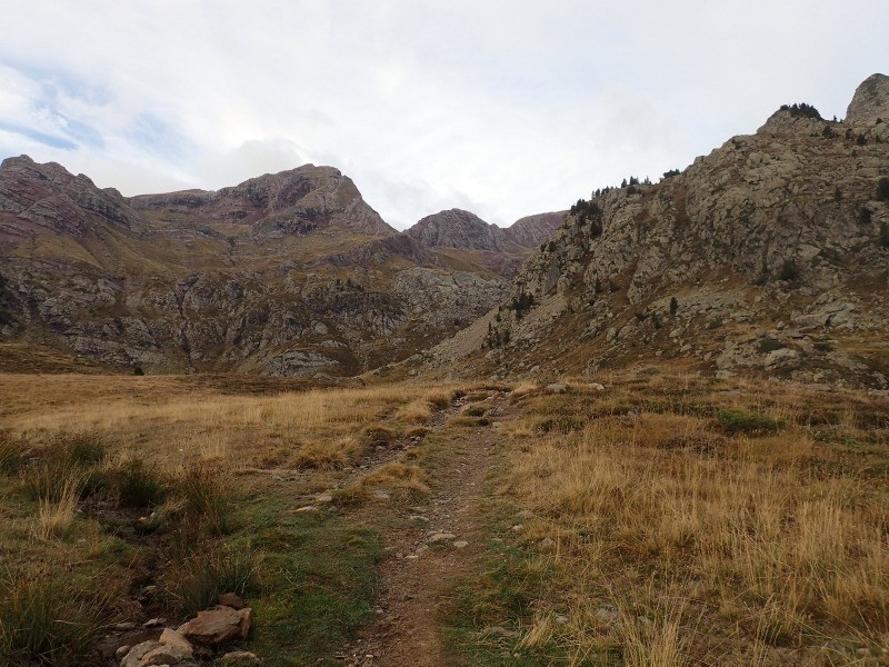
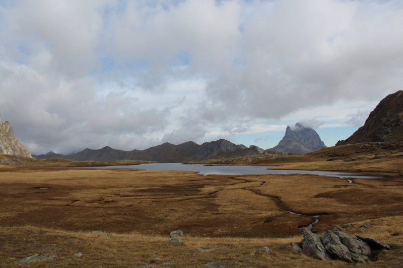
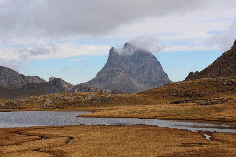
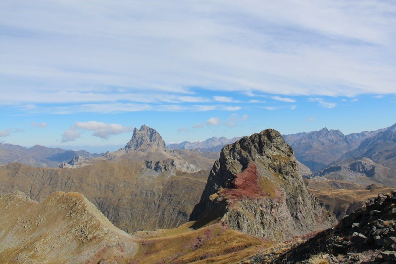
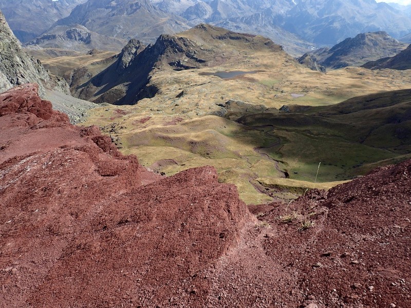
Départ de la station de ski de Formigal, secteur Anayet. Montée en longeant le Barranco Culivillas, jusqu'aux Llanos de Anayet et ses deux lacs. Superbe vue sur l'Ossau. Puis, plein Est, montée au col d'Anayet et plein Sud, jusqu'au Vertice d'Anayet. Retour par le même itinéraire.
 Actions
16 km

+1015 m/-1015 m

±06:30

Cliquez pour activer

Cliquez et déplacez la souris sur le profil pour analyser un tronçon (2 doigts sur mobile)
 Photos
Commentaires
Pas encore de commentaire, connectez-vous pour en ajouter un.
Connectez-vous pour ajouter un commentaire
Longueur et nombre de points

16.18 km

337 pts
Denivelé et altitude
Calculés sans seuil et sans lissage

1015 m

1015 m

2519 m

1601 m

1969 m
Plus

Affichée 2272 fois et téléchargée 119 fois depuis le 13.11.15 10:38
Carte + Profil [Afficher un aperçu]
<iframe src="https://www.visugpx.com/Is6ypZlUWs?iframe" allowfullscreen style="border: 0;width: 100%; height: 540px;" scrolling="no"></iframe>
Carte uniquement [Afficher un aperçu]
<iframe src="https://www.visugpx.com/Is6ypZlUWs?iframe&maponly" allowfullscreen style="border: 0;width: 100%; height: 540px;" scrolling="no"></iframe>
Nous avons pris en compte votre choix.
Vous souhaitez maîtriser les informations qui peuvent être recueillies lors de votre navigation et avez refusé les cookies de personnalisation des annonces, c'est légitime.
Parce que le service fourni par VisuGPX a un coût, accepteriez-vous quand même que nous utilisions des cookies pour vous présenter des annonces non personnalisées ? Ces cookies ne sont pas des cookies de tracking mais de simples des cookies techniques de diffusion qui garantissent le respect votre vie privée.


 Actions
  16 km
16 km +1015 m/-1015 m
 ±06:30
 Cliquez et déplacez la souris sur le profil pour analyser un tronçon (2 doigts sur mobile)




 120
120 261
261 118 [Légende]

 Pour soutenir VisuGPX, faites le bon choix