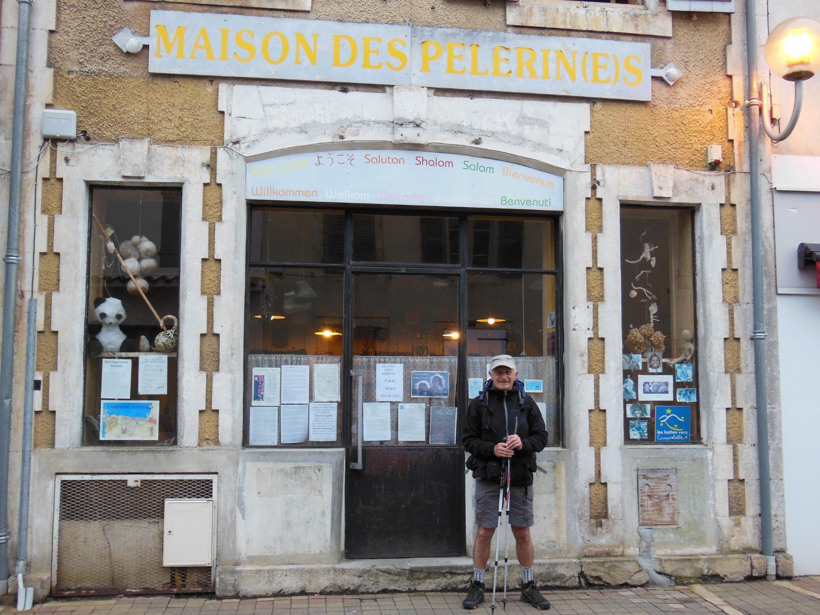
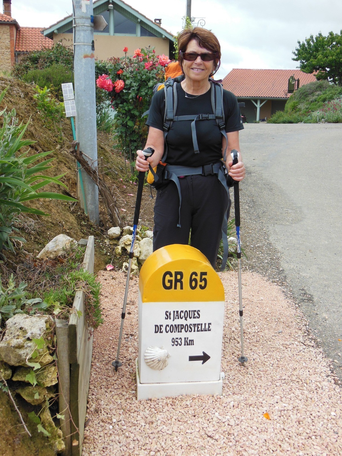
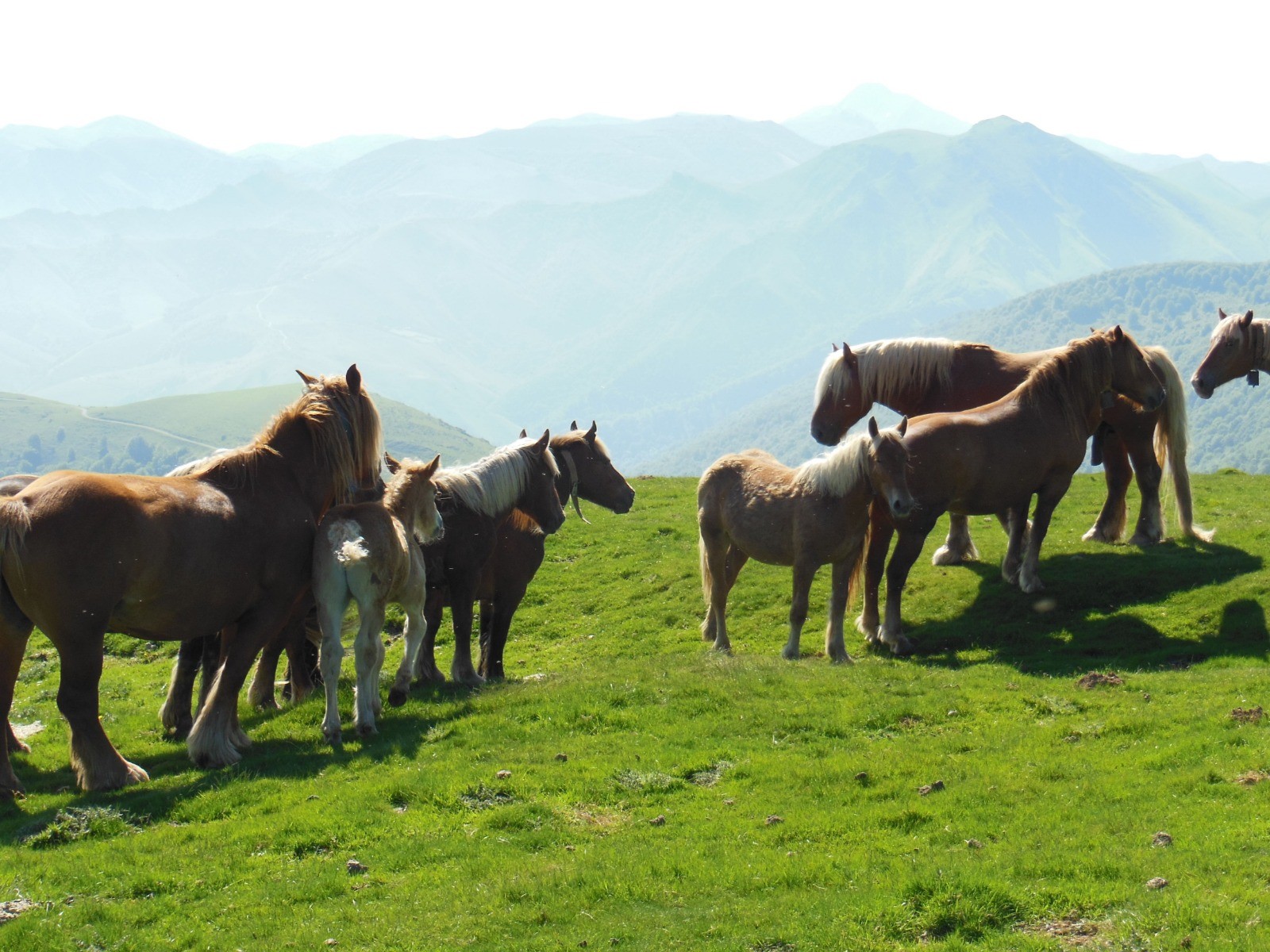
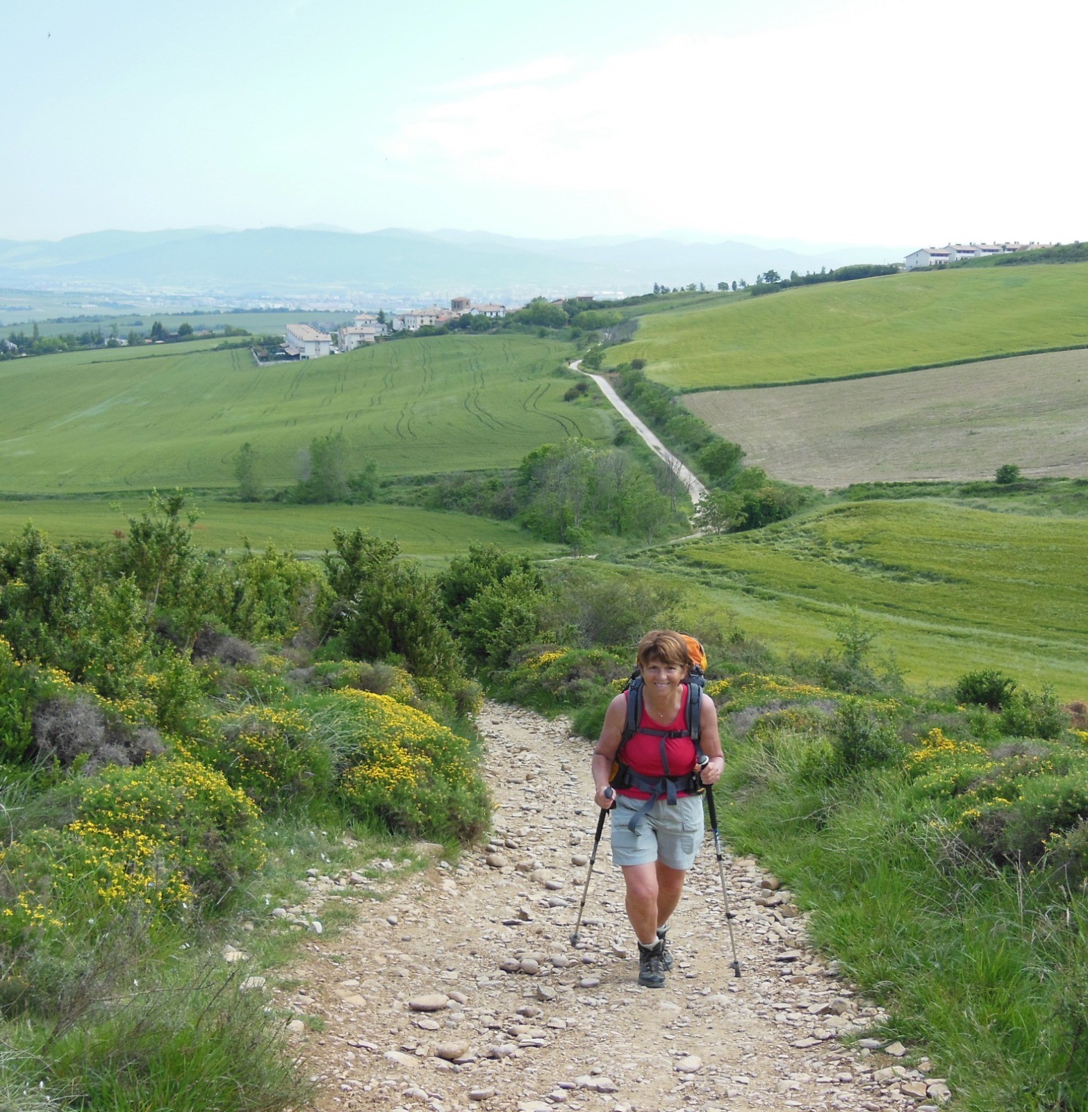
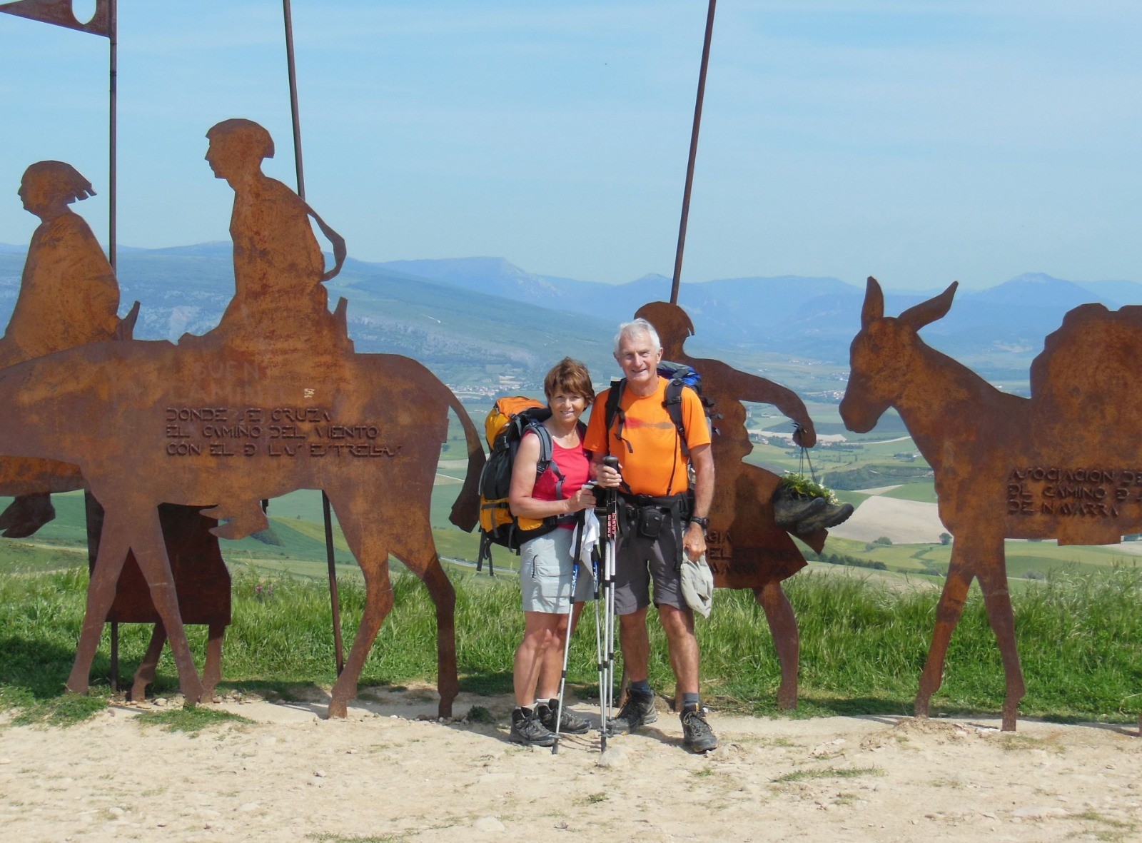
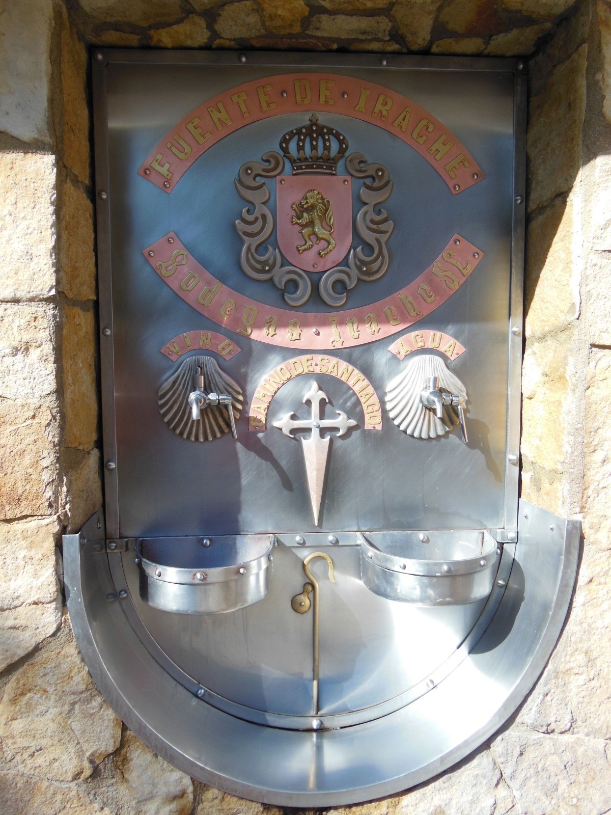
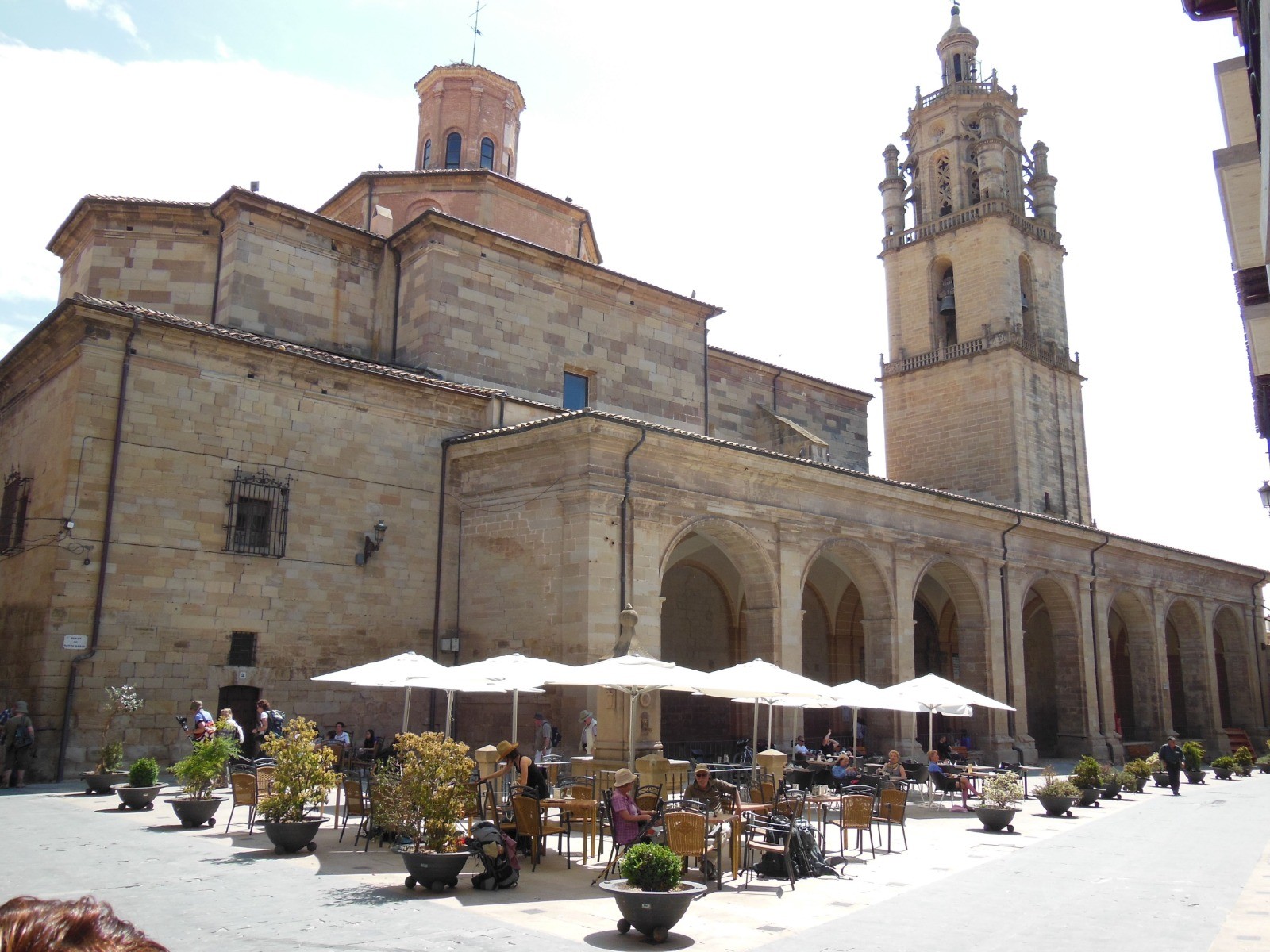
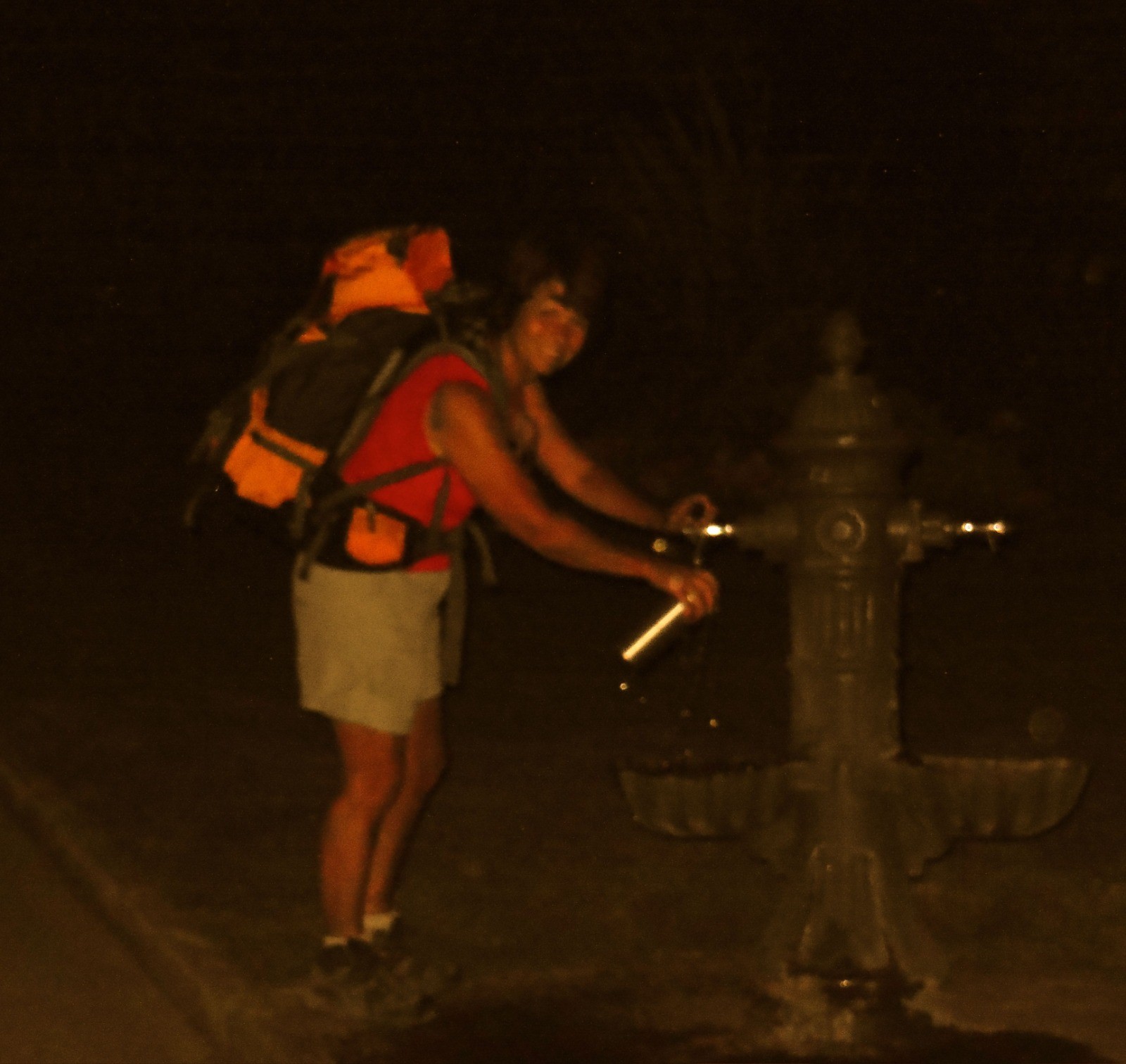
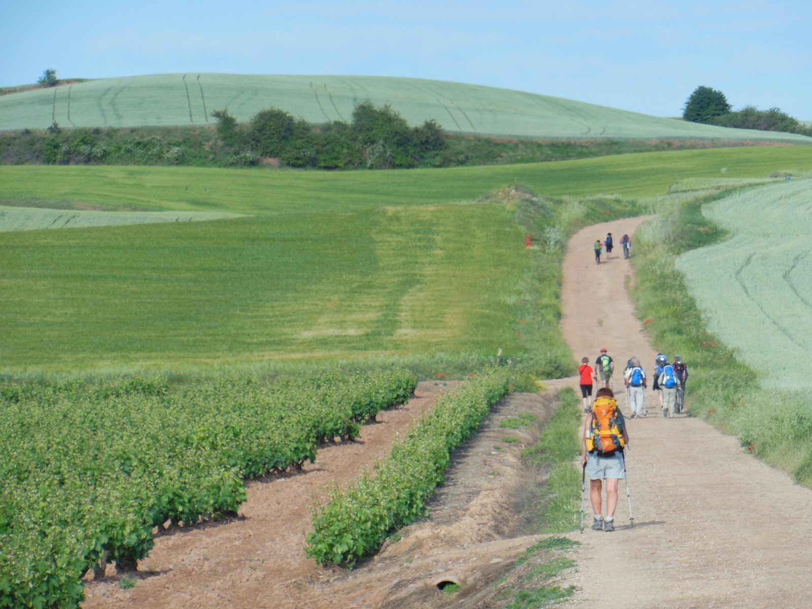
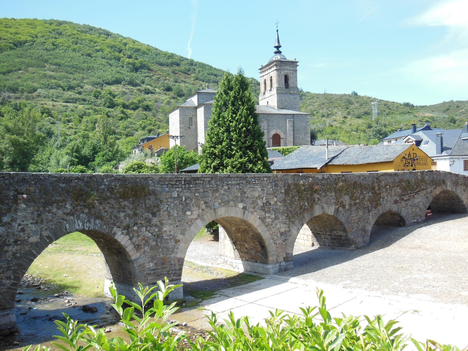
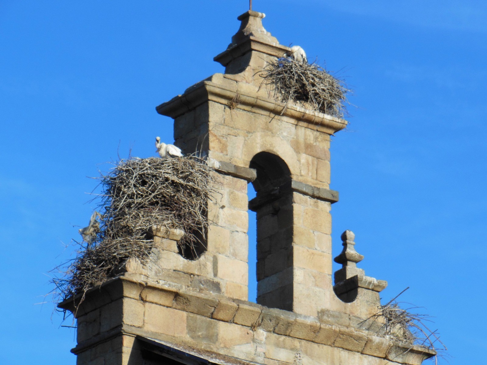
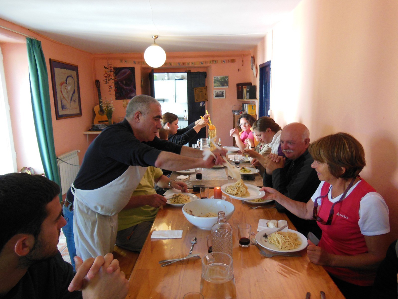
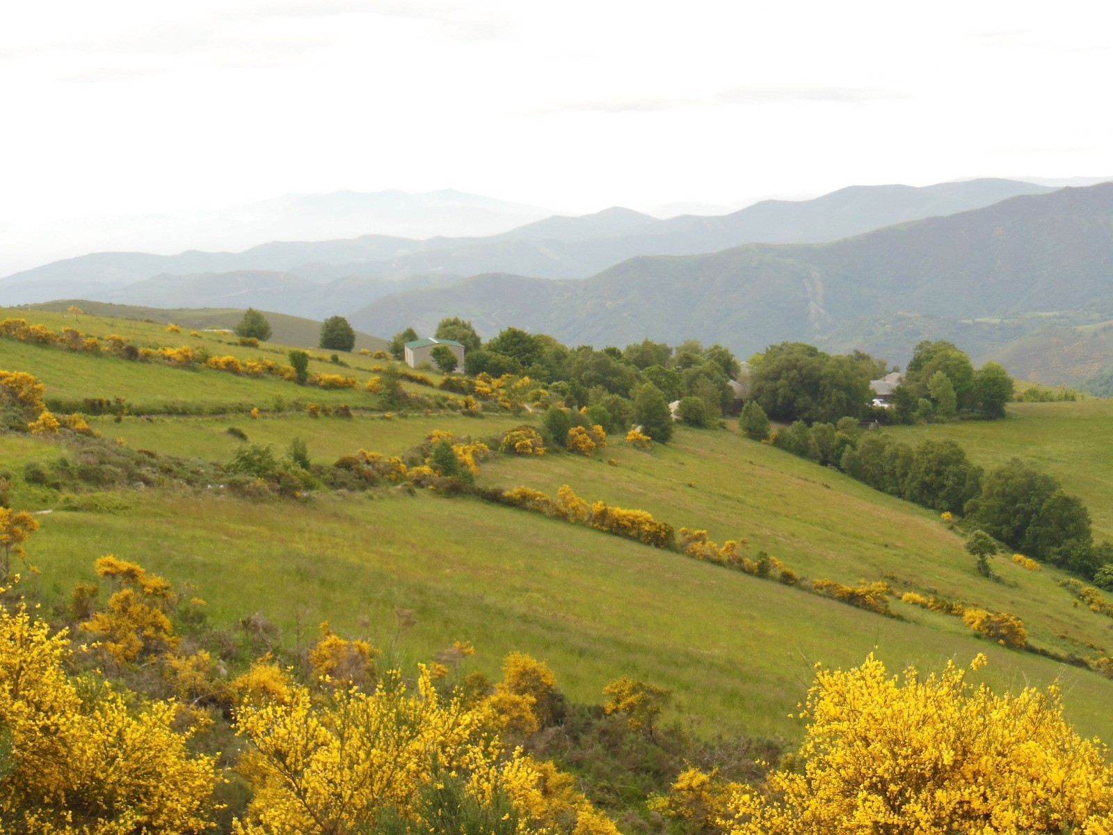
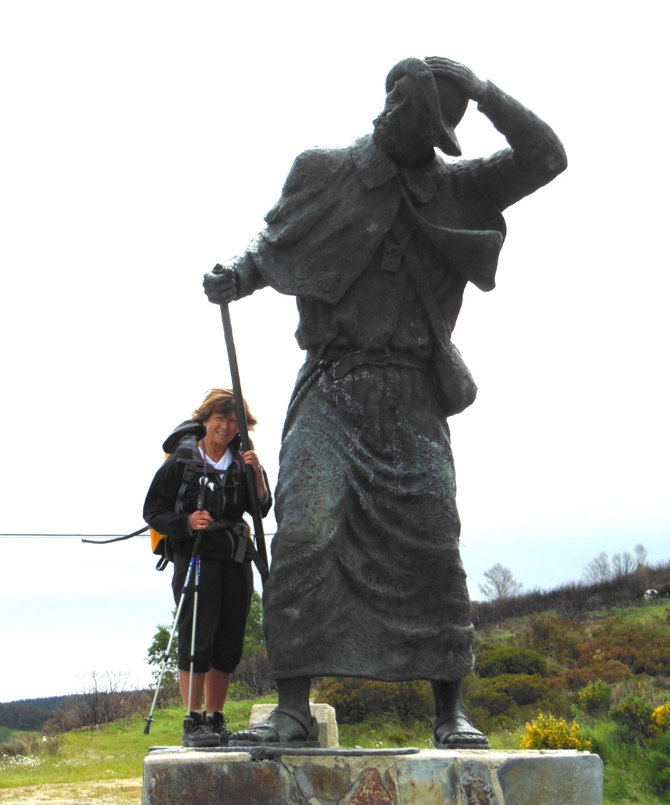
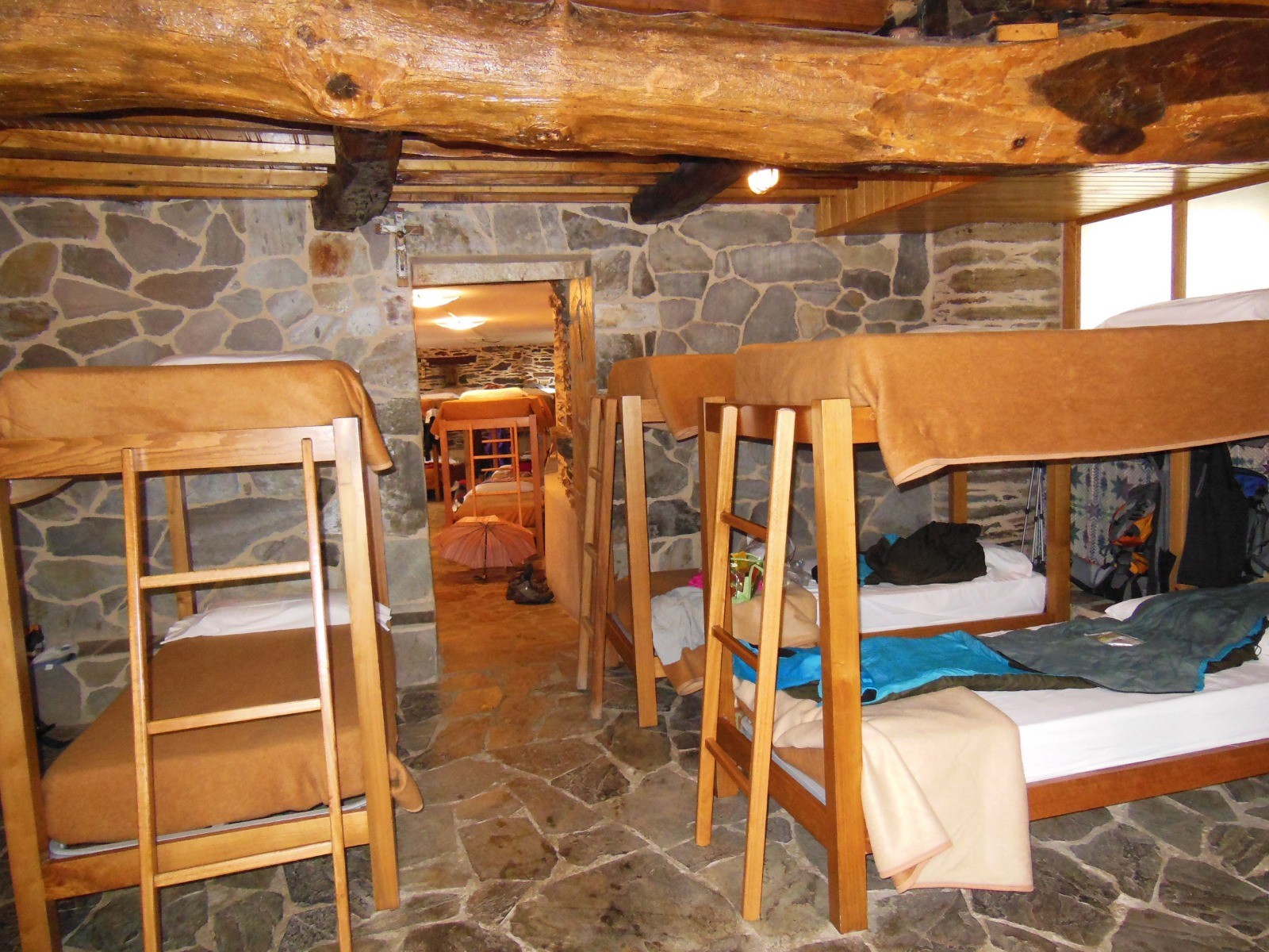
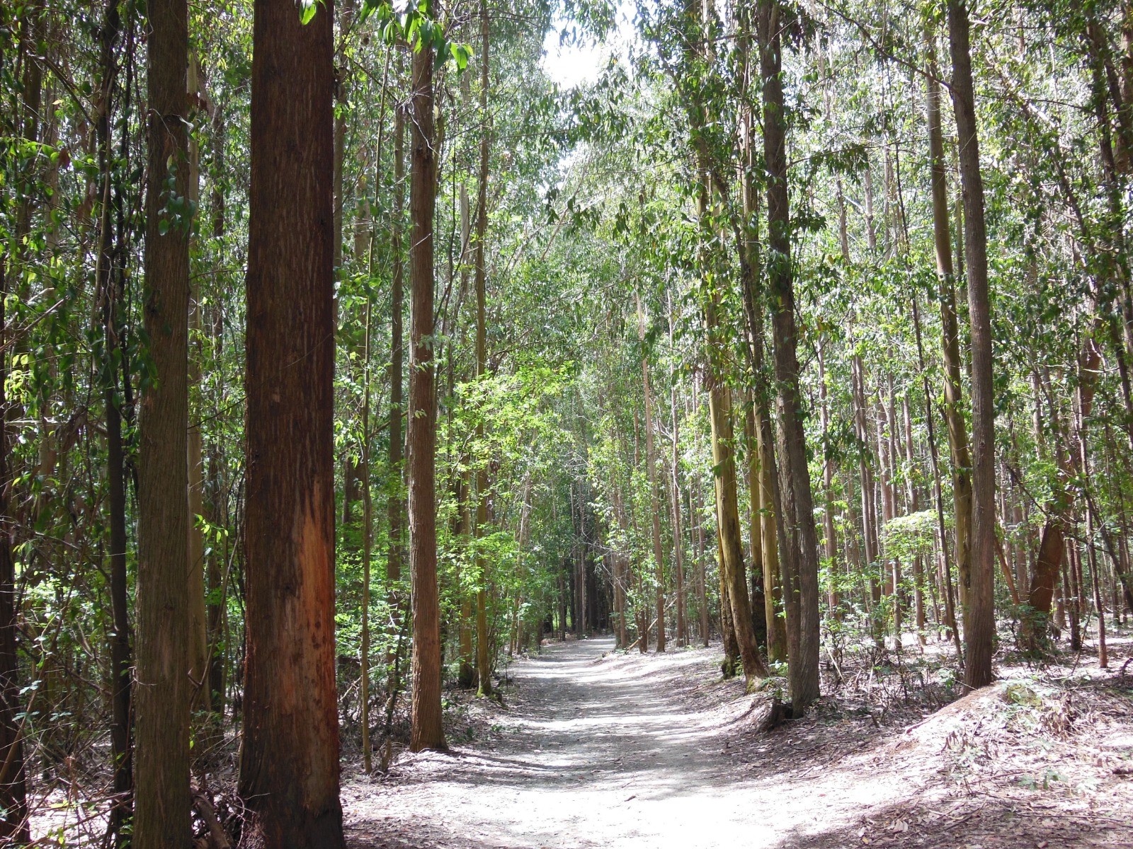
Notre deuxième chemin de Compostelle en juin 2012 (938km en 28 jours). Le Camino Francés est inscrit sur la liste du patrimoine de l'UNESCO. Il traverse des régions très variées : le pays basque vallonné, la Navarre, la Rioja avec ses vignobles, le plateau désertique de la Meseta en Castille-Leon et les montagnes de la Galice. La flèche jaune et la coquille marquent la direction à suivre. Pour l'hébergement, un réseau dense d'albergues, de casas rurales, de gîtes sur tout le parcours. Nul besoin de réserver, on s'arrête quand on le souhaite.
 Actions
938 km

+14894 m
/-14719 m
±271:45

Cliquez pour activer

Cliquez et déplacez la souris sur le profil pour analyser un tronçon (2 doigts sur mobile)
Détails
Les villes principales sur l'itinéraire :
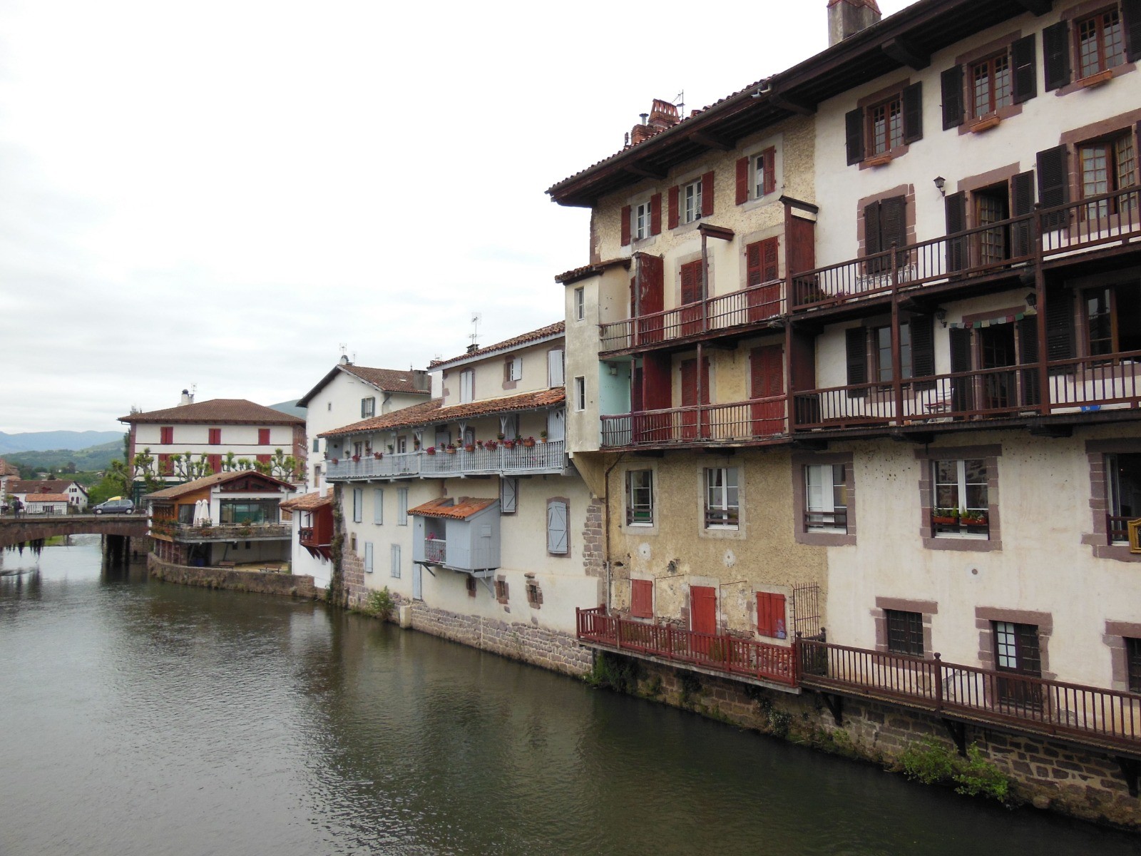
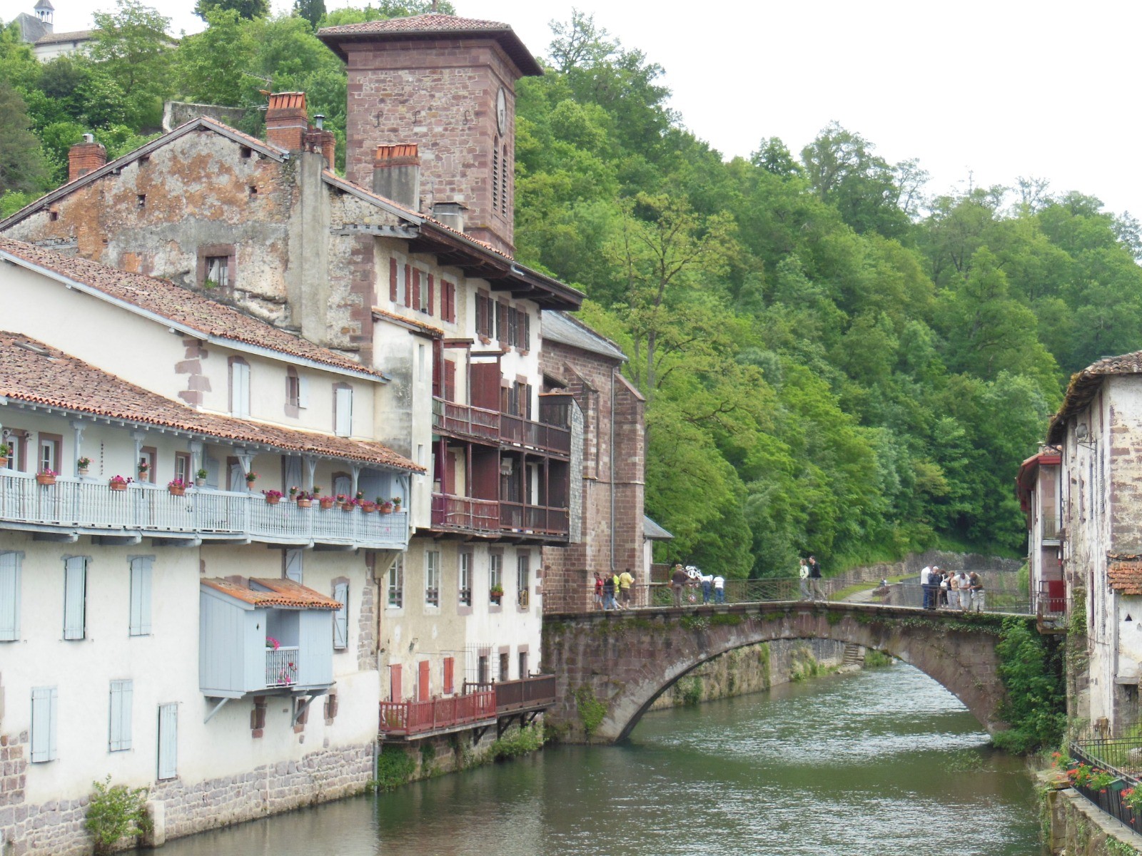
- landes et pays basque français (160 km), Navarrenx, Ostabat, Saint-Jean-Pied-de-Port
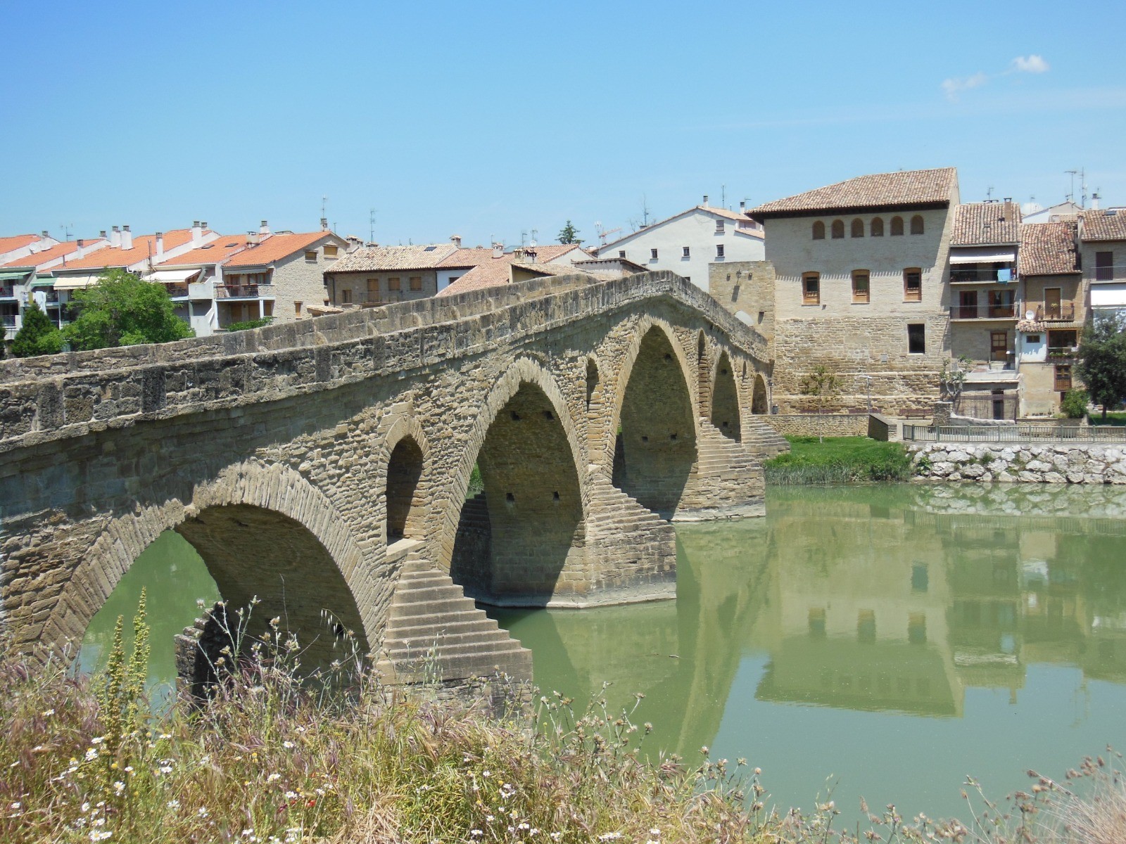
- la Navarre environ (170 km), Roncevaux, Pampelune, Puenta la Reina, Los Arcos, Logrono
- la Rioja environ (75 km), Najera, Saint Domingo de la Calzada
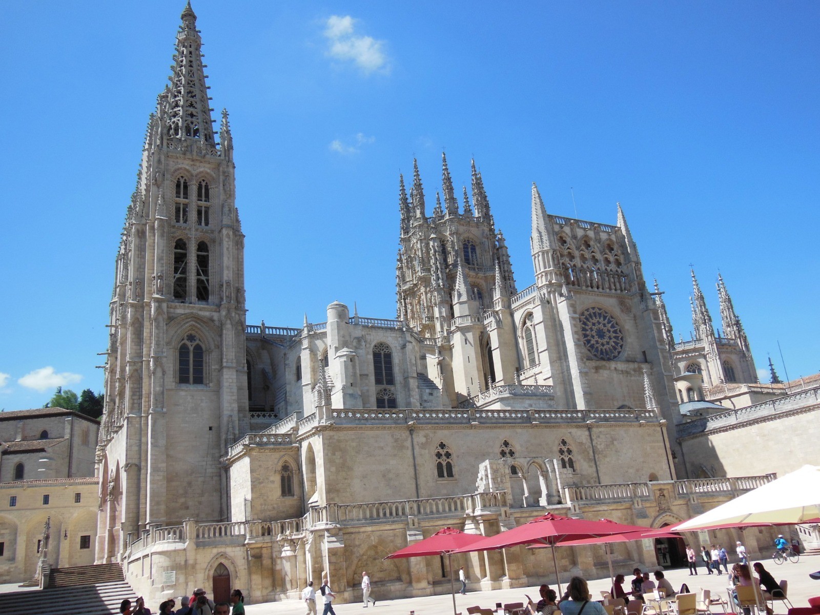
- Castille-Leon (380 km), San Juan de Ortega, Burgos, Carion de los Condes, Mansillas de Las Munas, Leon, Astorga, Ponferrada
- la Galice (160km), O Cebreiro, Sarria, Portomarin, Palas de Rei
Documentation complémentaire :
- topo Miam Miam Dodo du Camino Francés
- choix des étapes et hébergements :
www.gronze.com/camino-frances
Site internet de Félix35 :
www.au-fil-des-sentiers.fr/ Photos
Commentaires
Pas encore de commentaire, connectez-vous pour en ajouter un.
Connectez-vous pour ajouter un commentaire
Longueur et nombre de points

937.64 km

137490 pts

31 marqueurs
Denivelé et altitude
Calculés avec un seuil de 10 mètres et un lissage sur 5 points

14894 m

14719 m

1504 m

62 m

627 m
Plus

Affichée 9055 fois et téléchargée 650 fois depuis le 07.04.20 15:25
 Impossible de récupérer l'indice IBP de cette trace
KME
1135.6 kilomètres effort
Carte + Profil [Afficher un aperçu]
<iframe src="https://www.visugpx.com/IiLERkVS0q?iframe" allowfullscreen style="border: 0;width: 100%; height: 540px;" loading="lazy" scrolling="no"></iframe>
Carte uniquement [Afficher un aperçu]
<iframe src="https://www.visugpx.com/IiLERkVS0q?iframe&maponly" allowfullscreen style="border: 0;width: 100%; height: 540px;" loading="lazy" scrolling="no"></iframe>

 ForumsToposLes plus belles randosSegments
 Offre Premium
 Connexion


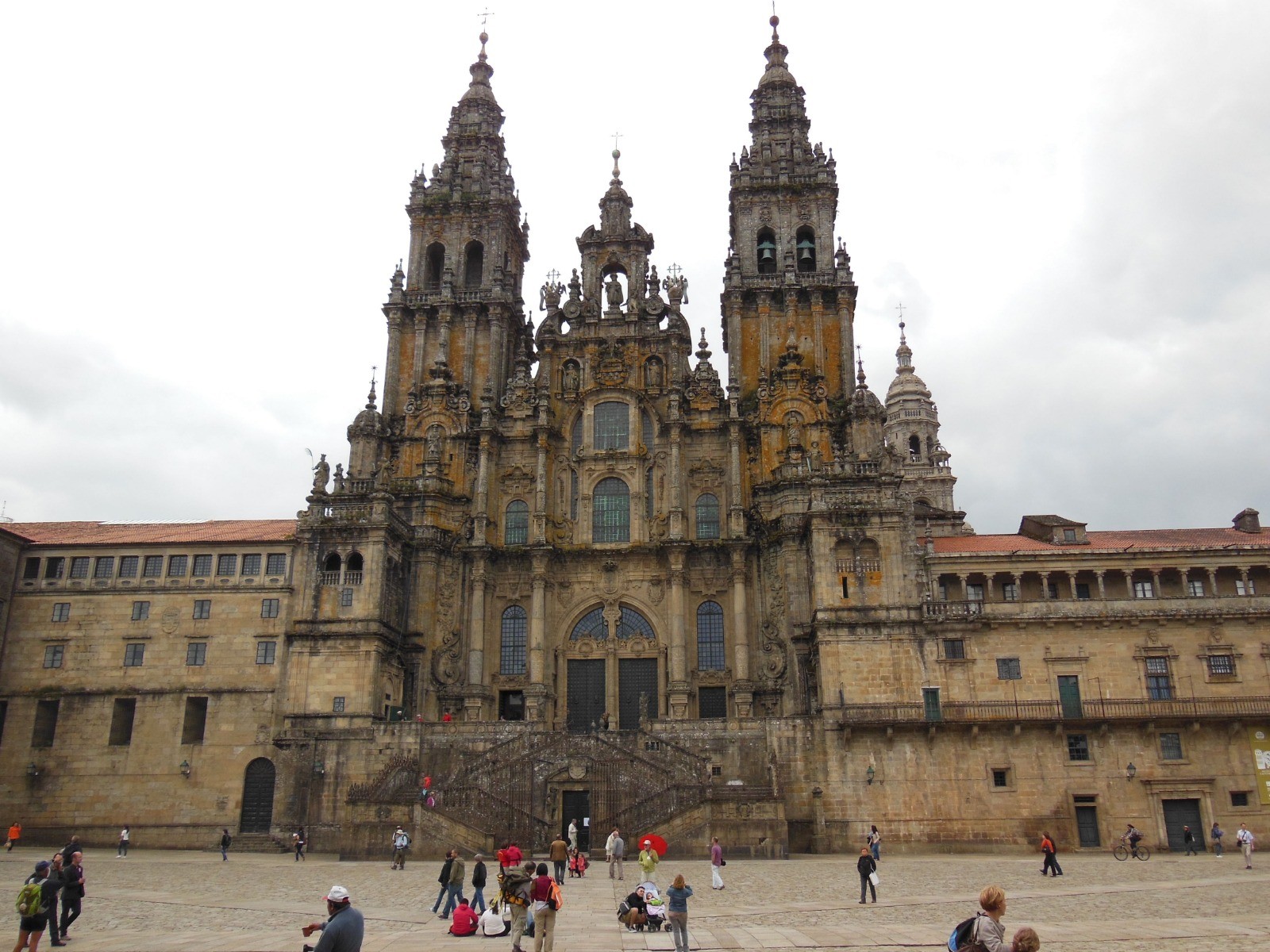
 Aire-sur-l'Adour - Saint-Jacques-de-Compostelle