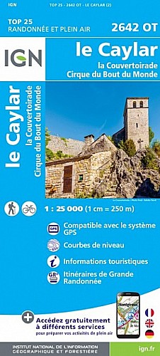
Rando au départ du pas de l'Escalette empruntant des sentes qui ne sont pas toujours très ouvertes, quelques passages délicats équipés de cordes ou de barreaux en fer scellés dans la roche.
 Actions
11 km

+608 m/-601 m

05:00

Cliquez pour activer


Cliquez et déplacez la souris sur le profil pour analyser un tronçon (2 doigts sur mobile)
 Photos
Commentaires
Pas encore de commentaire, connectez-vous pour en ajouter un.
Connectez-vous pour ajouter un commentaire
Longueur et nombre de points

11.17 km

1704 pts

13 marqueurs
Denivelé et altitude
Calculés sans seuil et un lissage sur 5 points

608 m

602 m

755 m

609 m

671 m
Date et durée

21 juillet 2020
08:31

21 juillet 2020
15:15

06:43:43

05:05:03

01:38:40
Vitesses et denivelés horaires

2.2 km/h
Détail »

5 km/h
au km 9.5

227 m/h
2h02m36s

-217 m/h
2h01m09s
| km | Temps | Vitesse | Pause |
|---|
| 1 | 26'41" | 2.2 km/h | 04'59" |
| 2 | 21'37" | 2.8 km/h | |
| 3 | 31'01" | 1.9 km/h | 02'50" |
| 4 | 31'45" | 1.9 km/h | 08'51" |
| 5 | 31'37" | 1.9 km/h | 07'18" |
| 6 | 41'15" | 1.5 km/h | 46'57" |
| 7 | 36'54" | 1.6 km/h | 11'17" |
| 8 | 20'32" | 2.9 km/h | 06'35" |
| 9 | 17'36" | 3.4 km/h | |
| 10 | 14'28" | 4.1 km/h | 06'12" |
| 11 | 28'58" | 2.1 km/h | 03'41" |
Dépense calorique (estimation)

449 Cal
88 Cal/h
Plus

Affichée 556 fois et téléchargée 27 fois depuis le 21.07.20 19:26
Carte + Profil [Afficher un aperçu]
<iframe src="https://www.visugpx.com/HBMEF2NE86?iframe" allowfullscreen style="border: 0;width: 100%; height: 540px;" scrolling="no"></iframe>
Carte uniquement [Afficher un aperçu]
<iframe src="https://www.visugpx.com/HBMEF2NE86?iframe&maponly" allowfullscreen style="border: 0;width: 100%; height: 540px;" scrolling="no"></iframe>

Nous avons pris en compte votre choix.
Vous souhaitez maîtriser les informations qui peuvent être recueillies lors de votre navigation et avez refusé les cookies de personnalisation des annonces, c'est légitime.
Parce que le service fourni par VisuGPX a un coût, accepteriez-vous quand même que nous utilisions des cookies pour vous présenter des annonces non personnalisées ? Ces cookies ne sont pas des cookies de tracking mais de simples des cookies techniques de diffusion qui garantissent le respect votre vie privée.


 Actions
  11 km
11 km +608 m/-601 m
 05:00
05:00

 Cliquez et déplacez la souris sur le profil pour analyser un tronçon (2 doigts sur mobile)


 57
57 114
114 60 [Légende]
 Pour soutenir VisuGPX, faites le bon choix