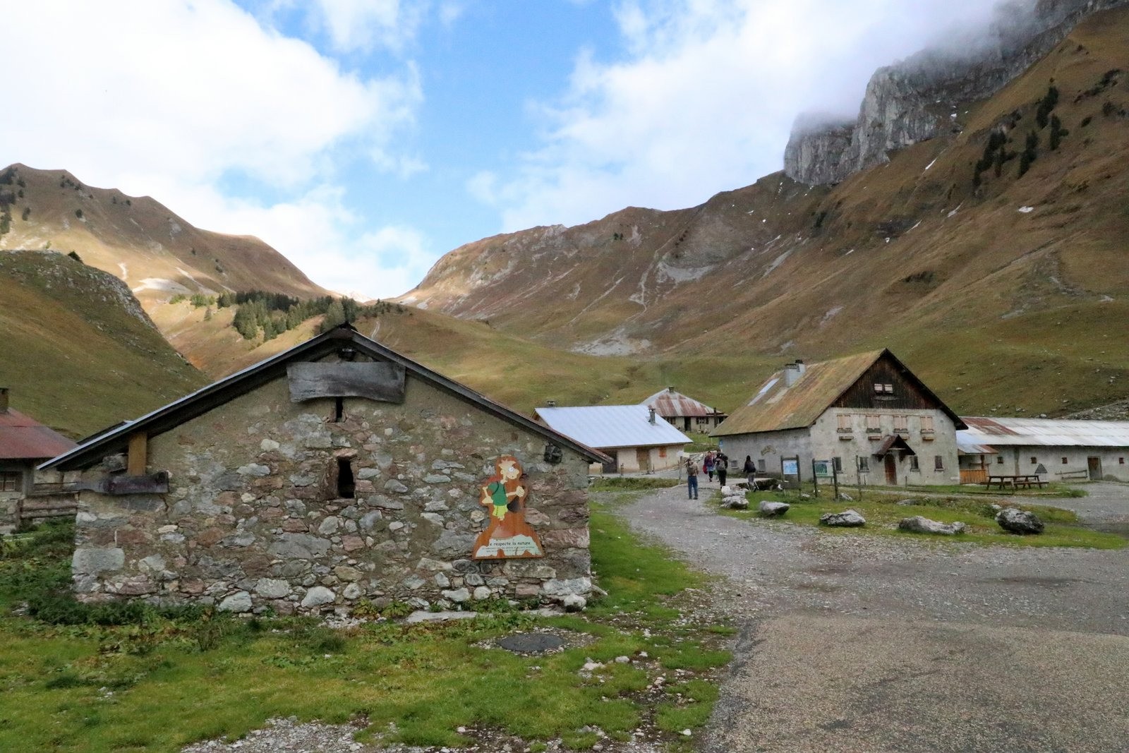
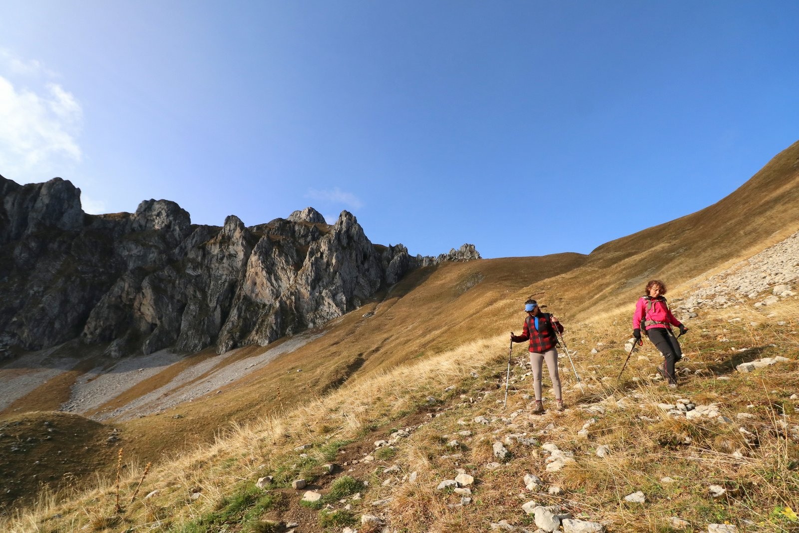
Au départ du
Chalet Refuge de Bise au dessus de
Vacheresse, Suivre la direction du
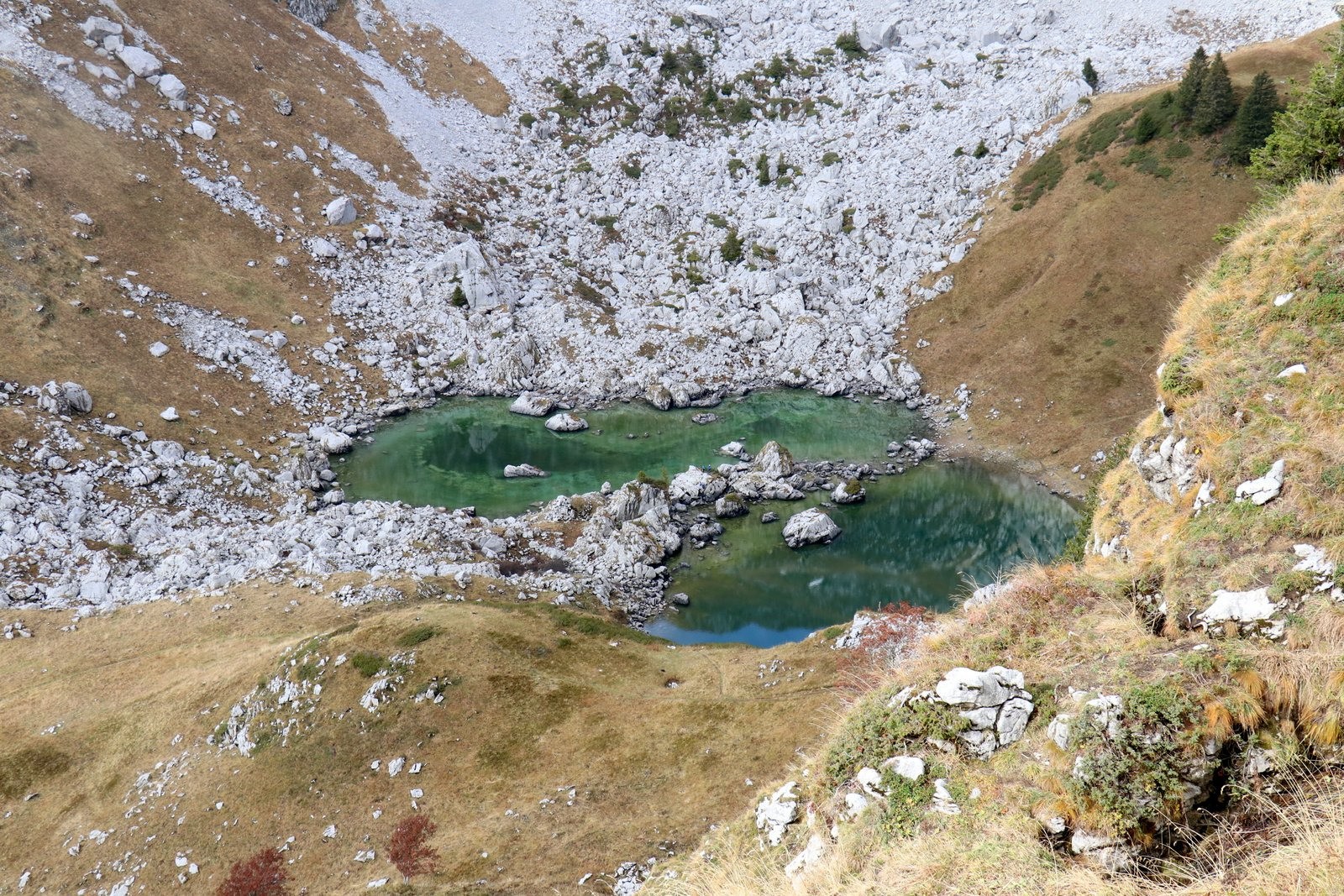
Lac de Darbon par le
Col de Floray.
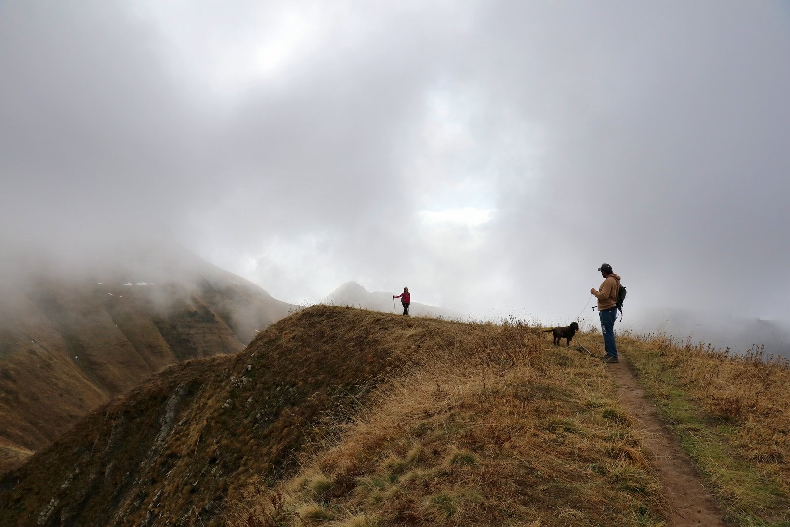
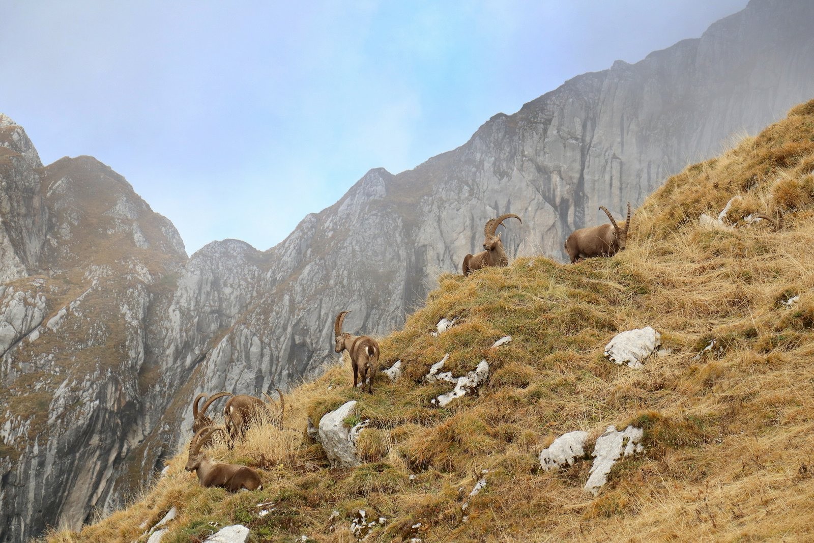
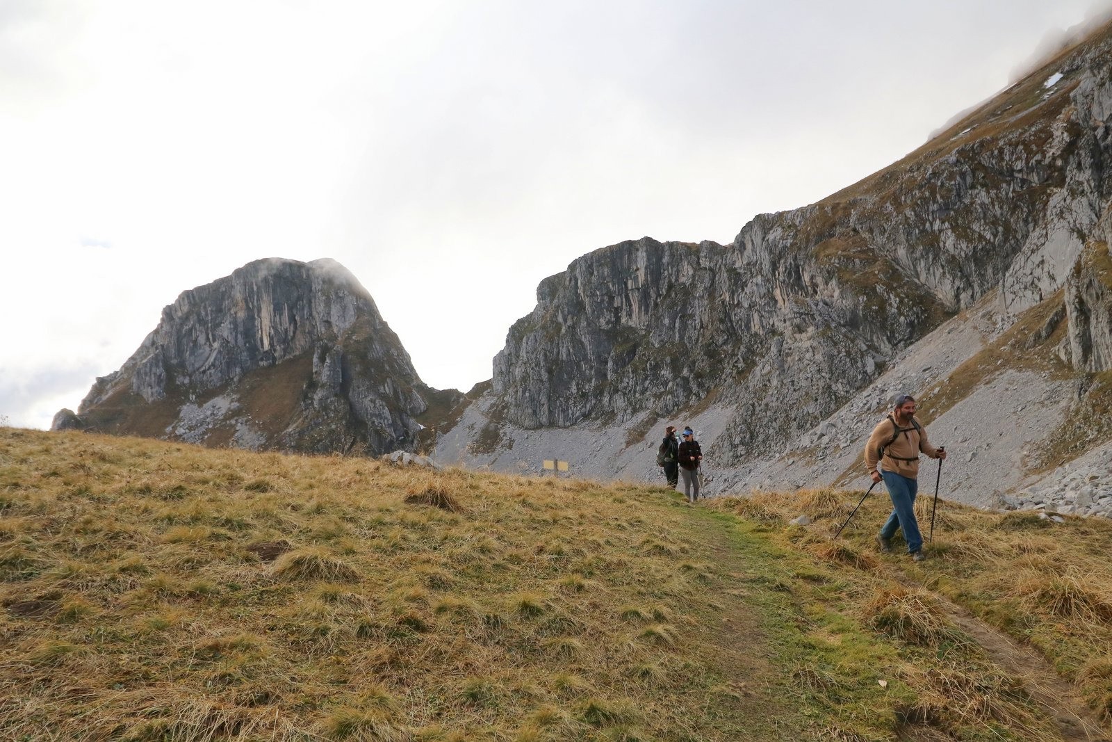
Au col, habité par quelques bouquetins, descendre en direction du Lac puis remonter au
Col de Pavis.
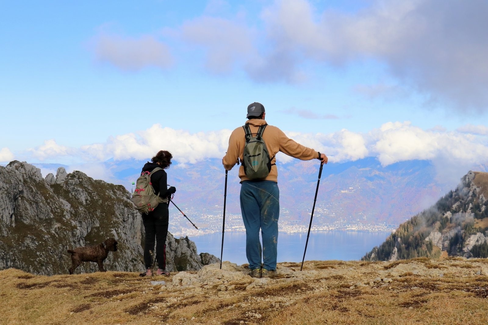
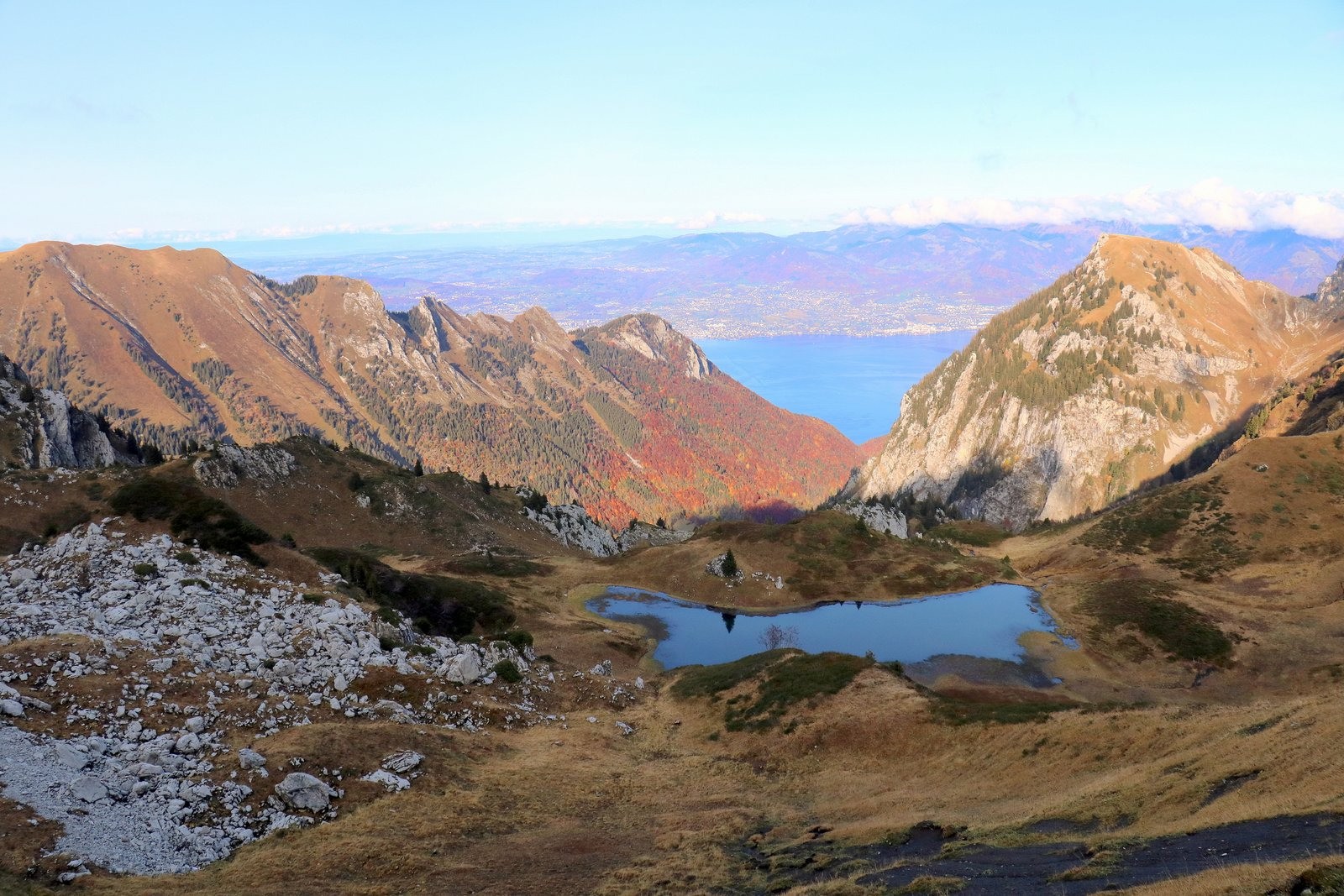
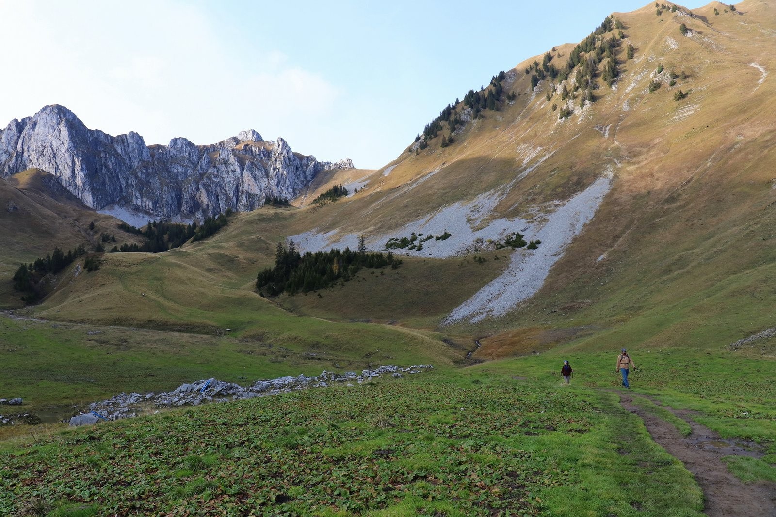
Un peu plus bas,on a un point de vue superbe sur le
Lac Léman.
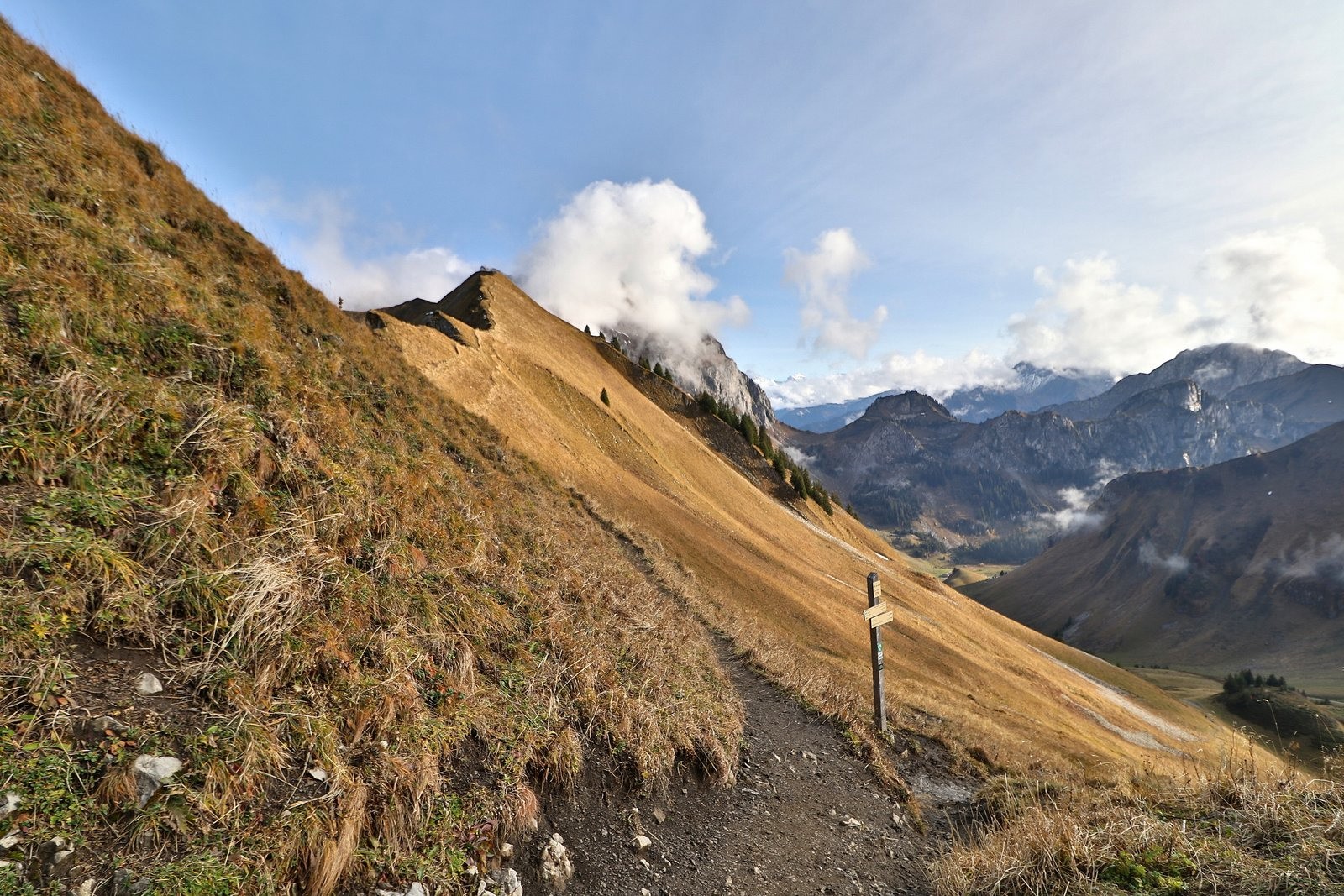
Rejoindre à flanc le
Col de Bise puis rejoindre le chemin de montée.
D'autres photos ici:
photos.app.goo.gl/V2pgF7VZ34EHbYEAA Actions
7.7 km

+719 m
/-712 m
03:11

Cliquez pour activer


Cliquez et déplacez la souris sur le profil pour analyser un tronçon (2 doigts sur mobile)
 Photos
Commentaires
Pas encore de commentaire, connectez-vous pour en ajouter un.
Connectez-vous pour ajouter un commentaire
Longueur et nombre de points

7.74 km

660 pts

1 marqueur
Denivelé et altitude
Calculés avec un seuil de 10 mètres et un lissage sur 5 points

718 m

712 m

1958 m

1508 m

1746 m
Date et durée

24 octobre 2020
12:47

24 octobre 2020
17:02

04:15:46

03:11:32

01:04:14
Vitesses et denivelés horaires

2.4 km/h
Détail »

6 km/h
au km 2.2

435 m/h
1h33m23s

-545 m/h
1h14m16s
| km | Temps | Vitesse | Pause |
|---|
| 1 | 18'36" | 3.2 km/h | |
| 2 | 27'49" | 2.2 km/h | 02'14" |
| 3 | 25'13" | 2.4 km/h | 07'03" |
| 4 | 30'00" | 2 km/h | 45'22" |
| 5 | 25'06" | 2.4 km/h | 05'07" |
| 6 | 23'04" | 2.6 km/h | 04'28" |
| 7 | 19'44" | 3 km/h | |
Dépense calorique (estimation)

567 Cal
177 Cal/h
Plus

Affichée 2002 fois et téléchargée 92 fois depuis le 24.10.20 19:54
KME
17.3 kilomètres effort
Carte + Profil [Afficher un aperçu]
<iframe src="https://www.visugpx.com/HAww0tiRFd?iframe" allowfullscreen style="border: 0;width: 100%; height: 540px;" loading="lazy" scrolling="no"></iframe>
Carte uniquement [Afficher un aperçu]
<iframe src="https://www.visugpx.com/HAww0tiRFd?iframe&maponly" allowfullscreen style="border: 0;width: 100%; height: 540px;" loading="lazy" scrolling="no"></iframe>

 ForumsToposLes plus belles randosSegments
 Offre Premium
 Connexion


 101
101 236
236 68 [Légende]


