Au départ de "
Les Massards" suivre le sentier en direction de la
Source du Sanglier . Au pt 1282m prendre à droite, plein Nord le sentier (jaune/rouge) à flanc en direction du
Bois des Flayeres.
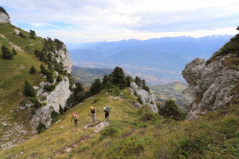
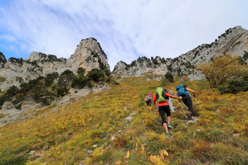
Au premier carrefour, suivre les indications "
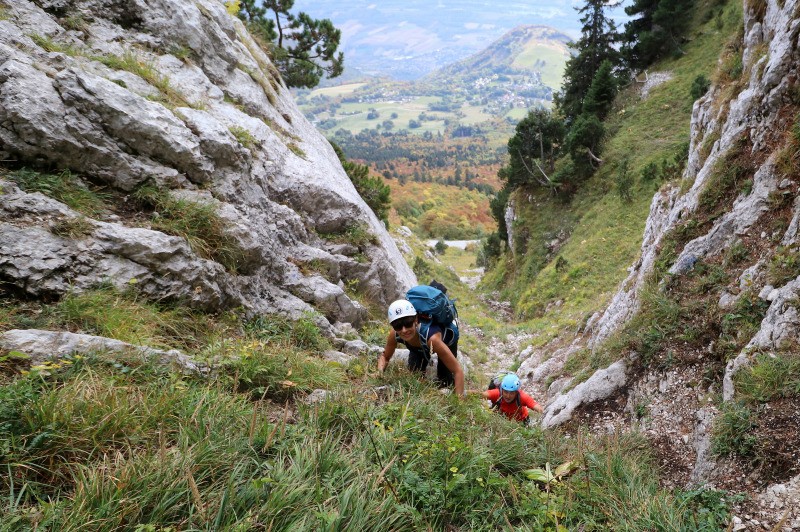
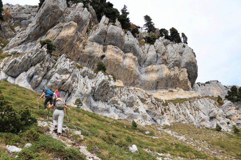
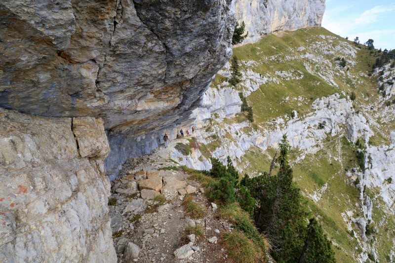
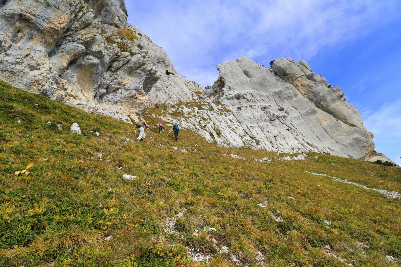
Pas de Montbrun" un sentier qui monte raide et sort de la forêt vers 1600. Le sentier part N-NE jusqu'au pt ign 1618. De là partir droit dans la pente à droite d'un piton rocheux. Le pas de Montbrun passe dans cette faille (marques bleues)...
A Développer ....
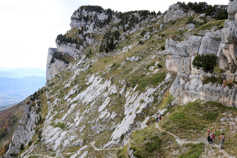
photos ici:
photos.app.goo.gl/unFsUC5htangk8hJ6
celles de Kikou là:
photos.app.goo.gl/mtzb4qkXbTGfTi8Y6
.
Autres sorties en Chartreuse -->
www.visugpx.com/membres/87/chartreuse/ Actions
10.7 km

+1096 m
/-1100 m
05:16

Cliquez pour activer

Cliquez et déplacez la souris sur le profil pour analyser un tronçon (2 doigts sur mobile)
 Photos
Commentaires
Pas encore de commentaire, connectez-vous pour en ajouter un.
Connectez-vous pour ajouter un commentaire
Longueur et nombre de points

10.71 km

464 pts

3 marqueurs
Denivelé et altitude
Calculés avec un seuil de 10 mètres et un lissage sur 5 points

1095 m

1100 m

1964 m

970 m

1483 m
Plus

Affichée 2623 fois et téléchargée 140 fois depuis le 07.04.20 15:25
KME
25.3 kilomètres effort
Carte + Profil [Afficher un aperçu]
<iframe src="https://www.visugpx.com/GJgAsqRBGo?iframe" allowfullscreen style="border: 0;width: 100%; height: 540px;" loading="lazy" scrolling="no"></iframe>
Carte uniquement [Afficher un aperçu]
<iframe src="https://www.visugpx.com/GJgAsqRBGo?iframe&maponly" allowfullscreen style="border: 0;width: 100%; height: 540px;" loading="lazy" scrolling="no"></iframe>

 ForumsToposLes plus belles randosSegments
 Offre Premium
 Connexion


 134
134 346
346 141 [Légende]


